Seram: In the Indonesian Rainforest – Part 2.

This post covers the second part of Operation Raleigh 10F Expedition to the Island of Seram in Indonesia – The Expedition ran from July to October 1987 as part of a global comparative research programme on the diversity of tropical rainforests.

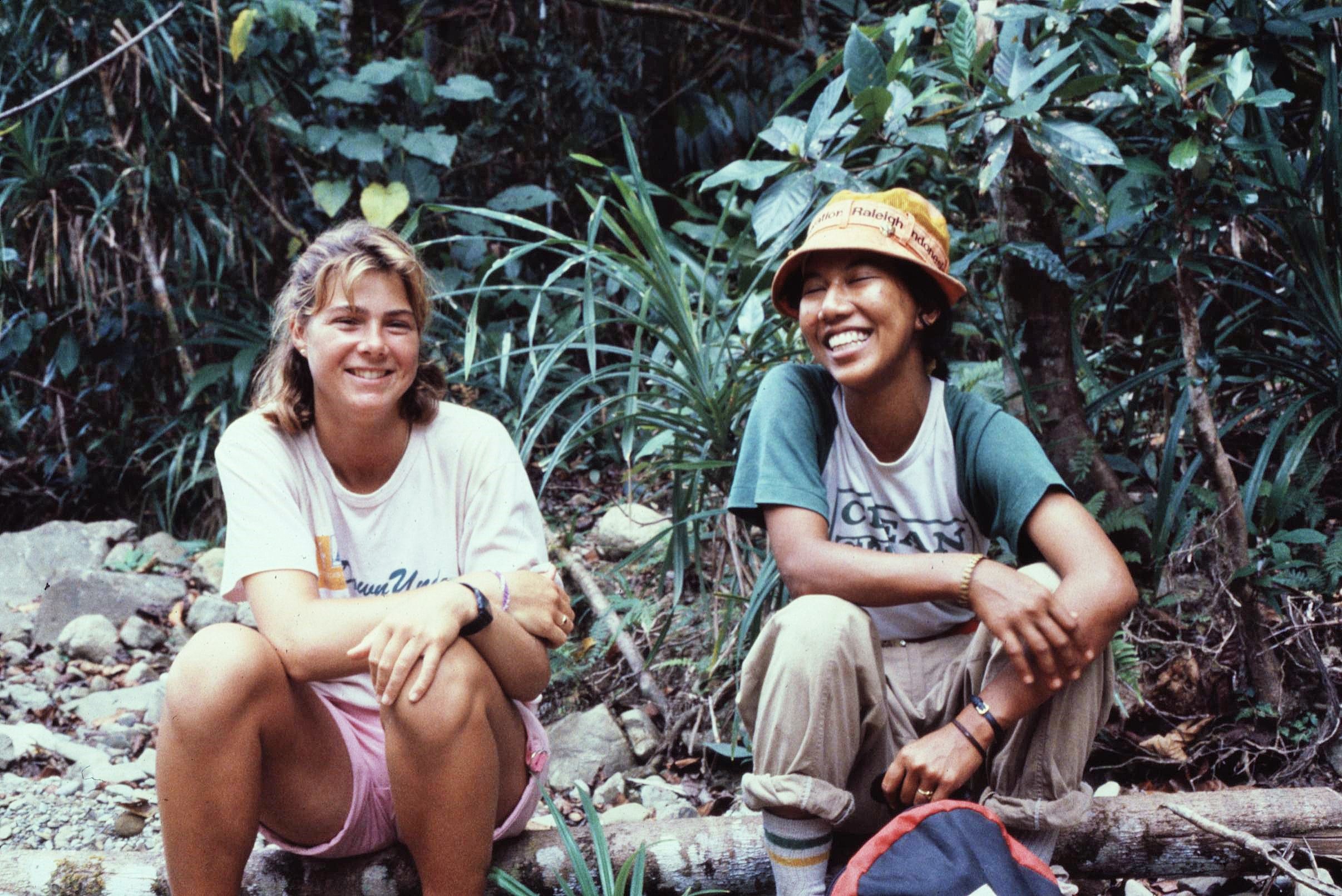
In the first part of this story, I covered our work with indigenous people in the “Enclave” area of the Manusela National Park in Central Seram concerning the local use of natural resources from the rainforest. After spending a number of weeks in the Island’s interior, I then made my way down to the North Coast of Seram to continue the “Wild Pig” project there within the small fishing community of Pasahari. This second part of the story picks up from where I left off last time and covers the rest of the expedition up until our departure from the Moluccas Islands.

2021-02-20-19-11-001

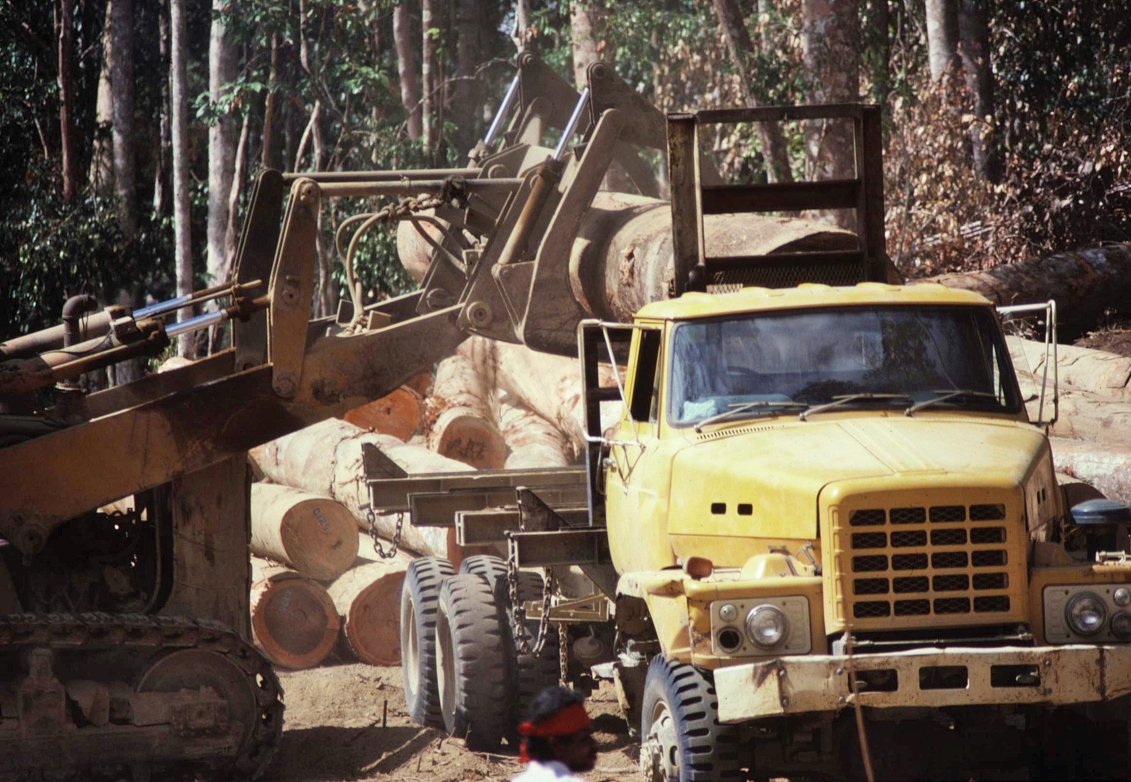
During the walk out towards the coast we unexpectedly encountered commercial logging activity. Although the deforestation and it’s impact were alarming and depressing to witness, the logging company were at least helpful to us and provided a lift down to the coast in their truck, which saved a long and exhausting trek.

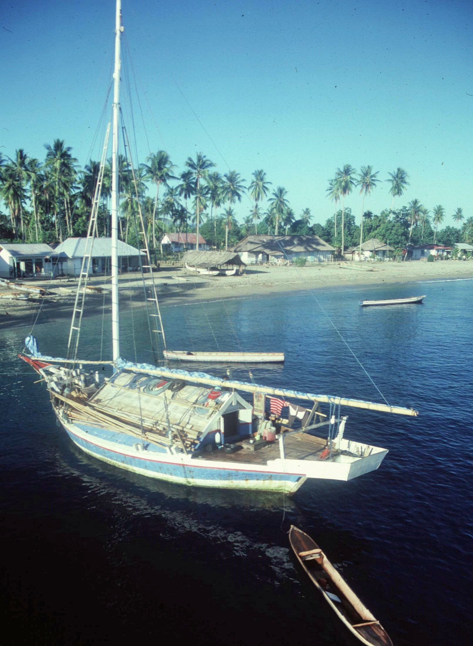
By comparison with the dust and noise of the logging concession, the idyllic coastal community of Pasahari seemed an oasis of calm, with a palm fringed beach and a laid back community of fishermen and traders. The locals were open and accommodating and we were able to sleep in the community hall located in the center of the village. Unlike in the interior of the Island most of the coastal communities were comprised of Malay settlers who are Muslims.

Although the focus of the project had been upon investigating wild pig and game populations on the Island, we were also interested to look at traditional fishing practices and their impact on the marine resources. In Pasahari we had the chance to spend time with the local fishermen who, every day, were catching impressive specimens, including unfeasibly large and threatening looking saw fish, in their simple dugout and outrigger canoes – no doubt at considerable risk to life and limb.

One of the old village fishermen was particularly keen to show us the ropes. We even managed to secure use of a boat from Operation Raleigh with a powerful outboard, much to the old man’s obvious delight. After we secured the boat, he was out with us every day, showing us the best places to fish, the types of species he caught regularly and all the tricks of the trade.  I’m sure we were the most enthusiastic of apprentices and he was keen to pass on his knowledge of generations.
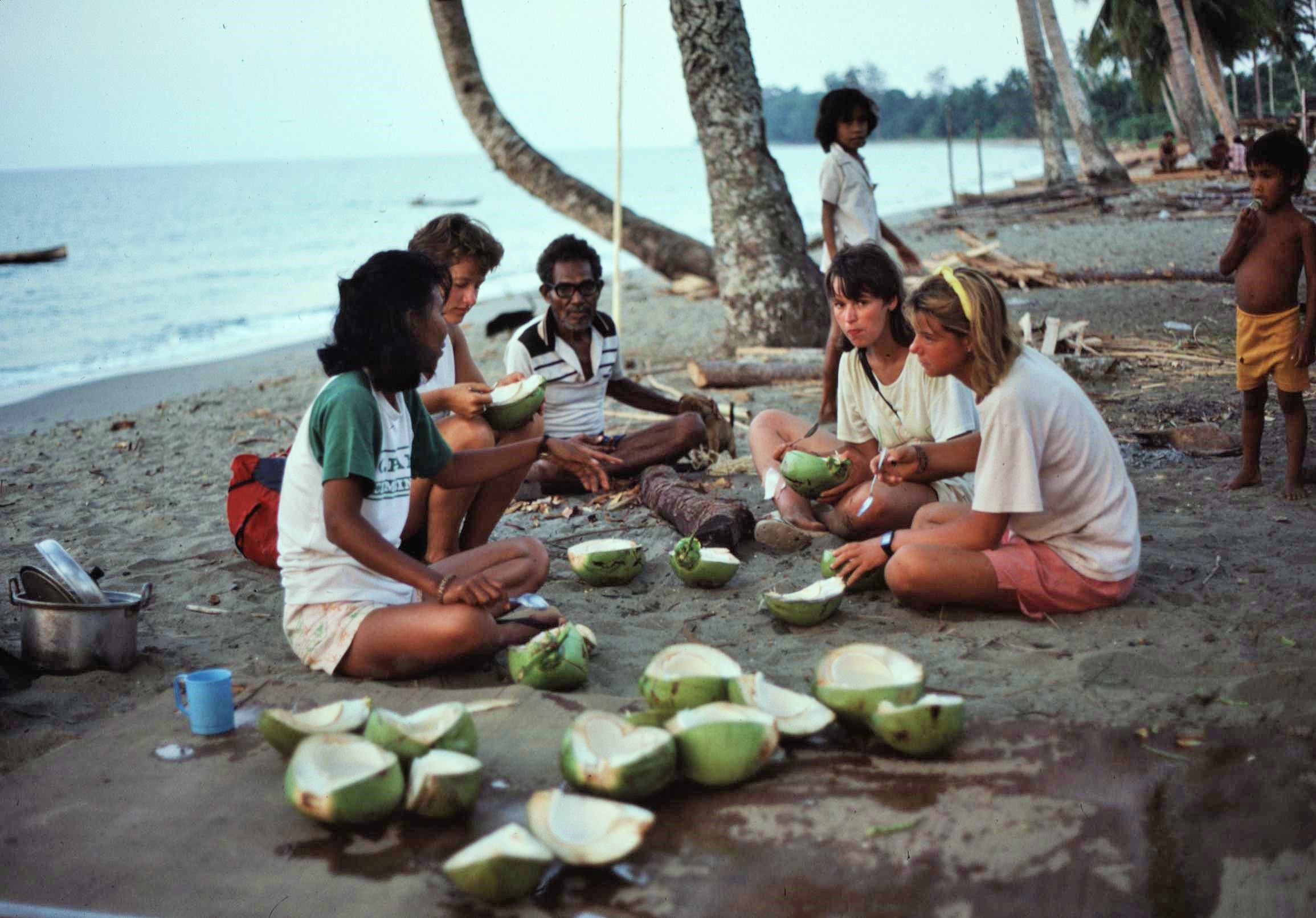
At the same time we were also looking at what and where the local people were hunting to try and get an idea of the impact of this activity upon the natural wildlife populations. Some locals even gifted us a live couscous (a sleepy, tree climbing marsupial), presumably for our dinner. However, I must confess that nobody was feeling that hungry and we let the poor creature go when nobody was watching.

In general, Pasahari was a very special place and we felt privileged to be there with our own small group. I do remember one strange incident when a plate which was hanging from a hook in the hall started inexplicably  “pinging” away on it’s own accord in the middle of the night. The superstitious locals attributed this seemingly “supernatural” event to their ‘friendly’ ghost, who apparently looked rather like one of our team members. It’s fair to say that the individual in question was treated with above average respect by the people there; so maybe there was something in their story.

In addition, I remember there was an exquisitely beautiful small coral reef lying just off the shore, which was ideal for snorkeling and for watching a myriad of multi-coloured fish swimming amongst the corals. This was a whole separate world in itself and a joy to witness in all it’s colours, forms and variety – there were bright blue star fish, angel fish and grumpy looking moray eels which lurked in holes in the rocks (image below shows a broadly similar looking reef  from a different location). We were able to find some masks and snorkels from the expedition stores and the local kids were certainly really excited to try these out and to experience their underwater world, which had previously eluded them, properly for the first time. It was heartwarming indeed to see the kids being so enthusiastic to experience their local environment from an entirely new perspective.

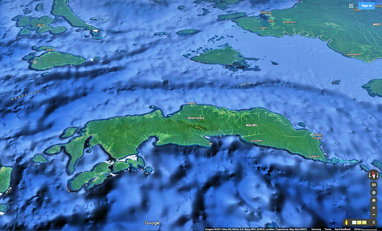
We were, however, increasingly aware of threats to the wildlife and biodiversity of Seram in the area. Nowadays when I look at Google Maps images of the Island, I can see that a whole lot more development has occurred in the intervening years, with significant evidence of settlement and deforested areas. This is true for Pasahari itself, where there has been a huge shrimp farming development to supply mainly Chinese markets. In the wake of all this, I doubt the beautiful coral reef that we saw has survived, as it appears that the outflow from the aquaculture development is almost in the exact location of the reef. I wonder also how the development has affected the life of the village. Has it created local employment for example, or merely disrupted the traditional pattern of life through creating pollution to the marine environment and an influx of outsiders competing for resources ?

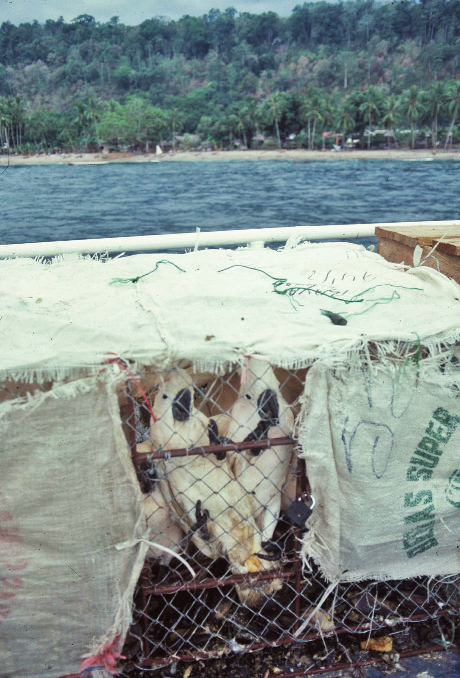
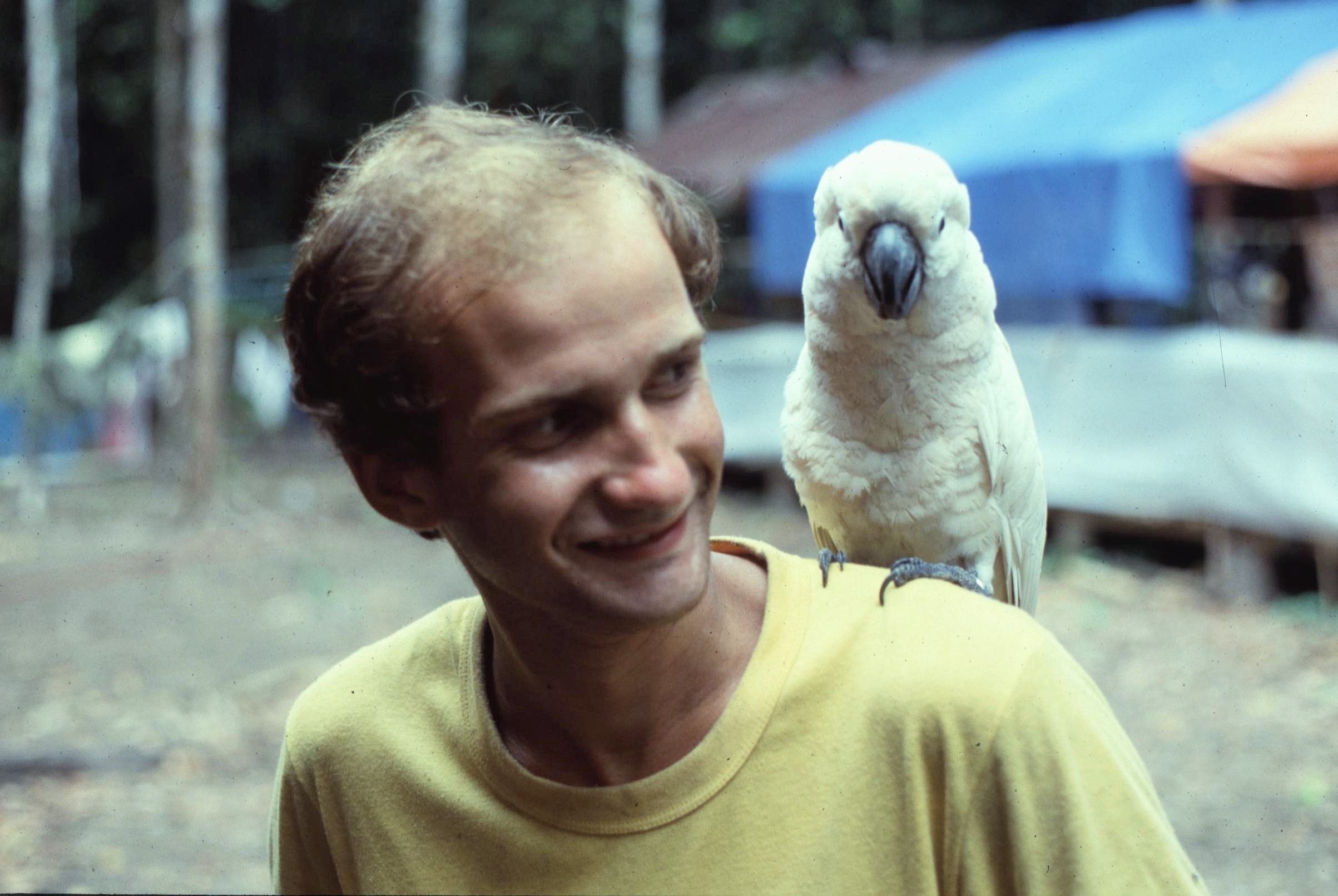
In Pasahari there were also small scale agents based in the village who were involved in the trade of endemic birds (which was discussed in Part 1 of this story). The birds, mainly salmon crested cockatoos and parrots, were collected in the interior of the Island and were then brought down to the coast for onward transit. We saw many parrots being sent off the Island using the regular boat services to Ambon. It seems that most of the profit from this trade ends up with the international dealers, with the value effectively doubling, every time birds change hands. Parrots which were sold for just a few dollars in Seram might therefore fetch hundreds of dollars in the US or Europe.

We also saw evidence of other species being caught and traded, including reptiles such as salt water crocodiles. This was being done on a smaller scale to the trade in endemic birds, however it was also having an impact. It was unclear to what extent this activity was being controlled by the authorities, or whether a blind eye was being turned in some instances.

There were however other threats to the rainforest ecosystem which were operating on a bigger scale. On our journey to the coast and during our initial encounters with the loggers, an engineer from Singapore had offered to show me the work of the company and to provide a tour of their operations (he also gave me a clean T-Shirt as mine must have appeared completely filthy by then !). Whilst we certainly weren’t sympathetic to the commercial aspirations of the loggers, this seemed too good an opportunity to miss, in terms of understanding the over impact of development activities occurring on the Manusela National Park boundary.
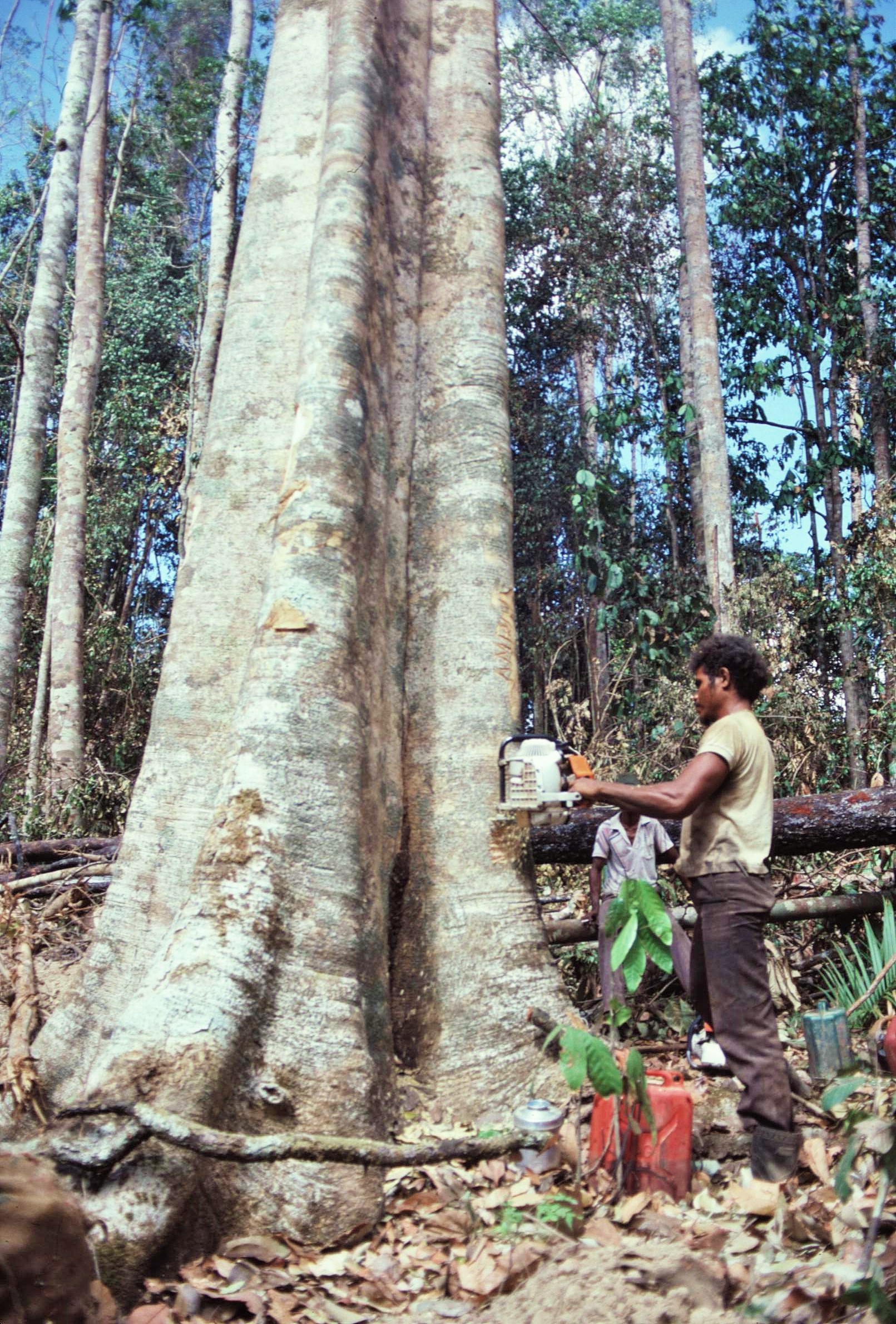
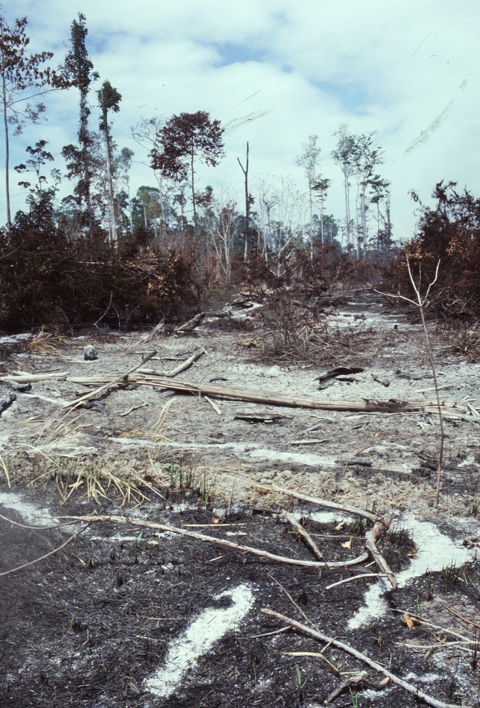
Logging was occurring along the Wae Issal Valley in close proximity to the Park Boundary. The logging concession for this area had been granted to a private company which was based on the coast to the East of the Wae Issal river mouth. When we visited, the logging activity had been underway for 8 years and had penetrated about 22km inland. During the first few years much of the resulting deforestation had been confined to the coastal floodplains around the village of Pasahari. In these areas, depletion of soil nutrients and frequent bushfires during the dry season had prevented any new regeneration of the forest. As a result much of the area had been reduced to poor “alang-alang” grassland, which would be unlikely to regenerate to forest again due to long term changes in the local microclimate.

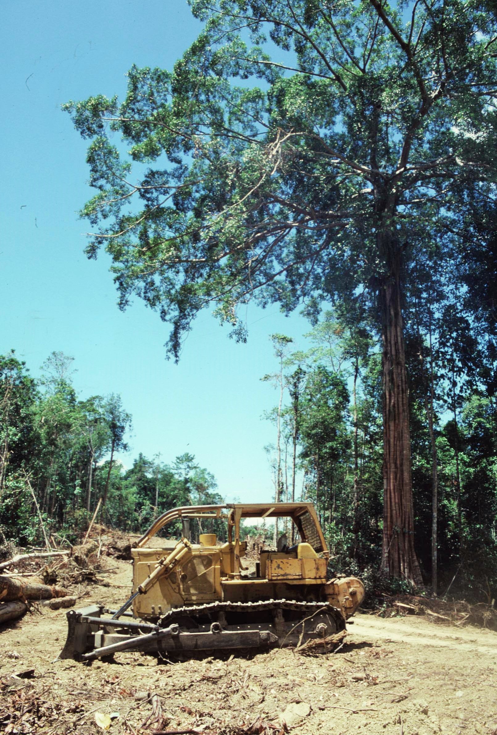
Whilst we were there, logging had stopped in the area around Pasahari and was mainly occurring along the Park boundary as far South as the village of Calloa. Access points for timber extraction had been bulldozed at regular half kilometer intervals along the road with felling of trees being undertaken on a selective basis – only trees greater than 90cm on diameter being removed. In reality however it seemed that many other trees were damaged during the removal process and there were significant impacts of soil compaction and localized erosion as a result. The timber extraction was also causing animal populations to disperse and affecting the hunting activities, forest gardens and lifestyle of the indigenous people.

An annual harvest of 29,000 cubic meters of timber was being removed from the area of the concession which covered 2,250 ha. The plan at the time was to extend this total area of activity to 85,000 ha, covering 35 working units, though issues of the terrain were making this difficult. I understood that the timber company was due to initiate a scheme of replanting following felling, or face significant government fines. It was not clear to what extent this was policed or being managed by the government.

Talking to loggers on the ground themselves, one thing that surprised me was the complete lack any of health and safety equipment that was evident in Indonesia.  Many of the men, who were using chainsaws (as long as themselves) or operating heavy machinery, had little or no protective equipment to speak of. Often they were wearing only flip flops and shorts and had no safety helmets, visors or ear protection. This would certainly have been unthinkable in Europe and one could only assume that there was a correspondingly high accident rate – presumably labour was cheap in the industry and the company assumed little liability for accidents or fatalities that might have occurred.

2021-02-20-19-08-004

That said, the timber extraction technology appeared to be ruthlessly efficient and I was left wondering how much of Seram’s rainforest would survive this onslaught in the future. On a positive note though I have heard that, in recent years, logging has no longer been occurring within this area of Seram. However, I have no means of verifying this, though it would certainly be beneficial if such damaging activity has been stopped altogether, particularly so close to the boundary of the Manusela National Park and it’s fragile ecosystems.
During our stay in the area we also came across people from other parts of Indonesia who had been relocated to Seram under the Government’s controversial Transmigration Programme. This was centered on the Samal Transmigration area to the East of the Wae Issal River. Samal Transmigration area was established in 1982/83 as part of the continuing government policy to relieve population pressure on Java and Bali. Under the overall policy, the Government had relocated 3.6 million people by 1984, over vast distances, to 250 different Transmigration sites on the outer islands of Sumatra, Kalimantan, Sulawesi, Irian Jaya and Seram. Another 20 million had been planned to be moved within the following 2 decades, though this target had been reduced due to a decline in government oil revenues.
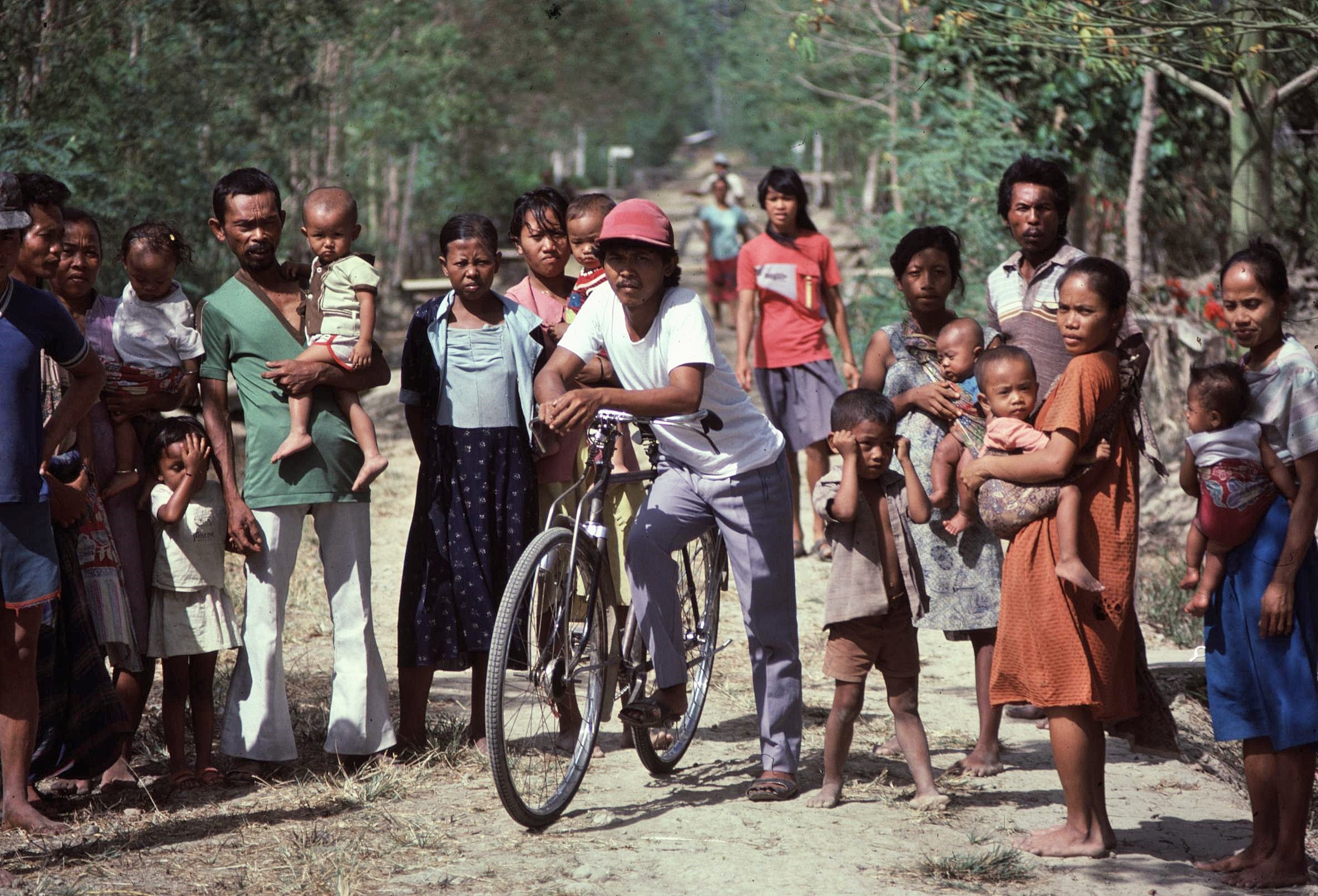
Both the Samal area and another area located relatively close by, were home to around 5000 migrant families from Java, with each site affecting an area of 15 – 20,000 ha of previously forested land. The schemes followed a rigidly prescribed farming model. Each family was given a plot of approximately 4 ha, a standard plywood house and fertiliser to improve soil fertility. Much of the finance for the scheme came from the World Bank along with oil revenue.

Over the years there has been much concern expressed about the environmental and social impact of Transmigration. In addition to the immediate issues of rainforest destruction, there were issues of declining soil fertility and erosion as a result of some of the schemes. By 1987 this was leading to some 43 million ha of Indonesian Forest land being categorized as being in a “critical condition and in urgent need of rehabilitation”. In Seram, land which was previously forested and which had lost it’s fertility, usually degenerated to unproductive grassland and could no longer be used for any agricultural purpose.

There were fears that settlement failure could have significant impacts upon the rainforest ecosystems of the Manusela National Park. The existence of logging roads along the Eastern boundary of  the National Park was increasing the potential likelihood of this occurring.  In addition there were obvious social consequences through bringing in large numbers of outsiders from a different cultural background and the potential impact that this might have upon indigenous populations, including an increase in religious tensions and conflicts over land availability.

Despite being aware of these various environmental and social threats to the Island’s ecosystems, our time in Pasahari was overall a very pleasant and enjoyable part of the whole Operation Raleigh expedition. We spent many relaxed days with the villagers learning about their hunting, fishing and cultivation techniques as well as taking some time out to enjoy snorkeling on the beautiful coral reef and to immerse ourselves in local cultural life.

Our stay on the coast was however marred to some degree, when we learned of a tragic accident which had taken place on another part of the Island. Paul Claxton, a young British photographer with Operation Raleigh, had sadly fallen to his death near the summit of Gunung Binaiya, the highest peak on Seram at around 3000m. Meanwhile, another expedition member, Ashley Hyett (who’d been accompanying Paul at the time) had also fallen, but miraculously had survived, albeit with multiple injuries and the need to coordinate a difficult and dangerous rescue mission. We were all deeply saddened and unsettled by news of the accident, on what had otherwise been a highly successful and positive expedition up until this point.
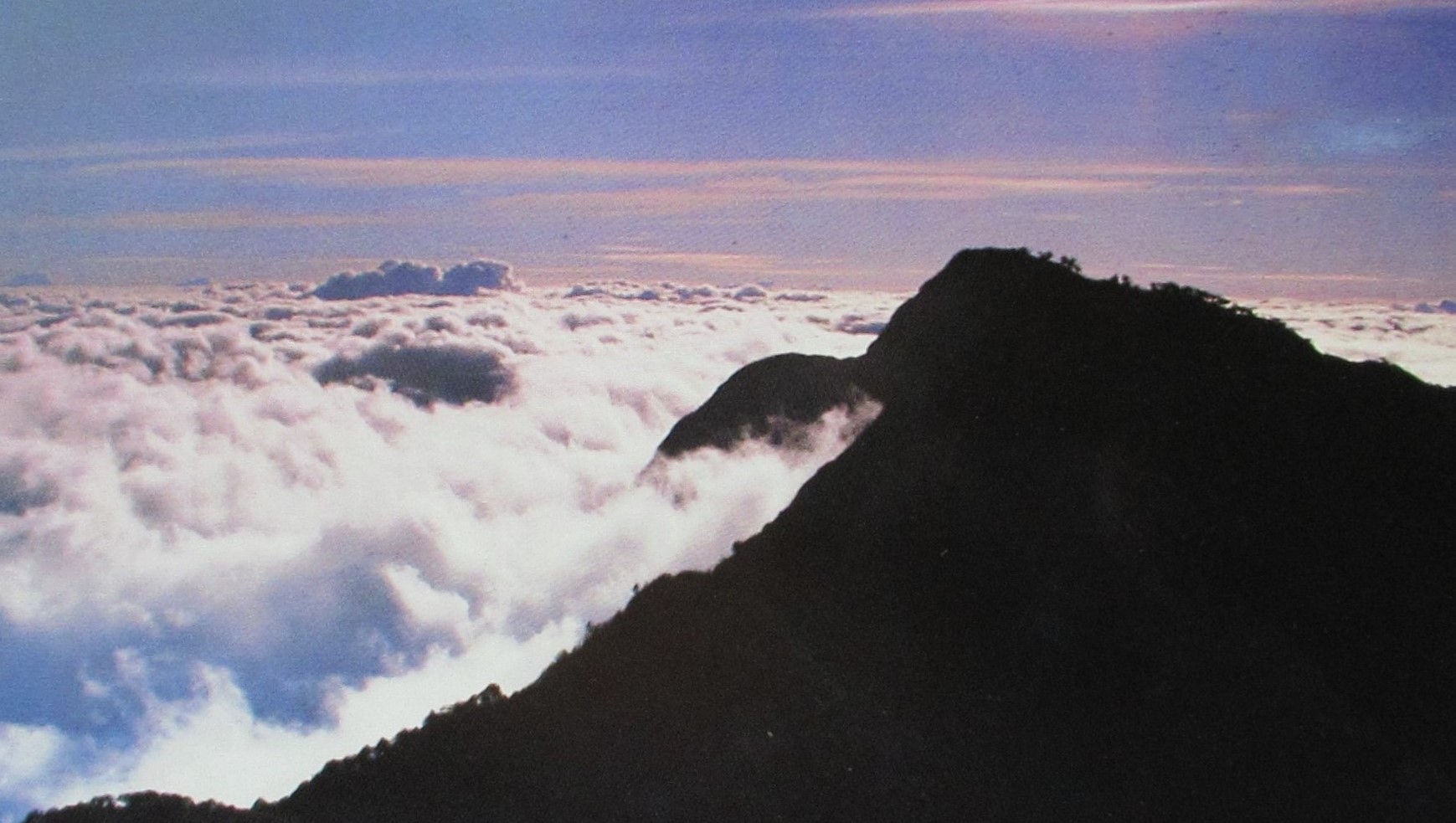
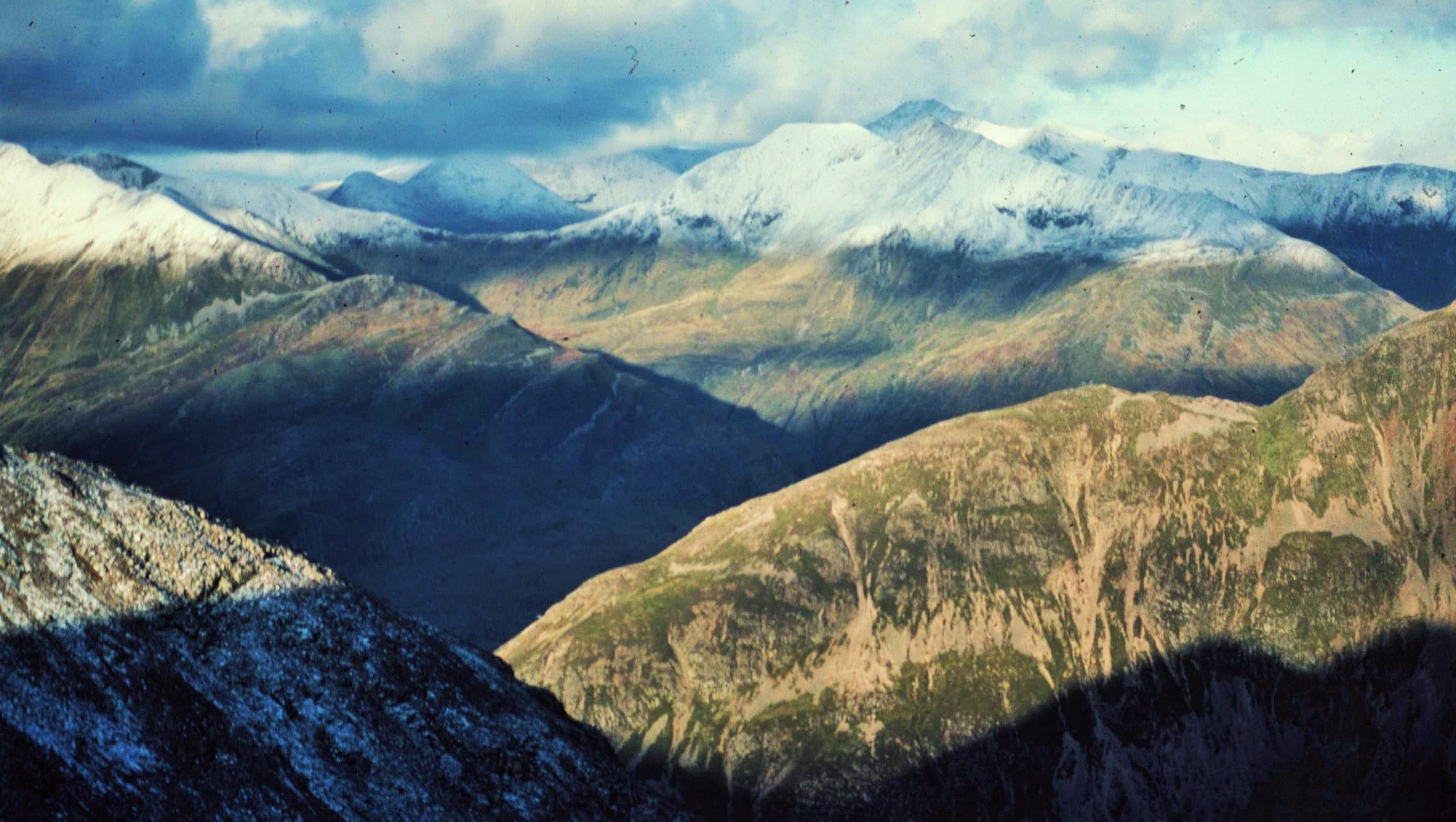
The Summit Ridge of Binaiya – Photo: Paul Claxton, Operation Raleigh

Unfortunately, our stay in Pasahari was over all too soon. Our small team now had to leave the coast, following the end of that particular phase of the Project. On the next phase I would be based with a different team and in the much larger Solea Camp, which was a major base for many of the ecological research projects which were located within the primary lowland rainforest in the Southern part of the Manusela National Park. This would turn out to be an altogether different experience from the small teams which I had now become familiar with on the expedition, however, it would also be a fascinating one which would reveal new insights.

2021-02-20-19-08-001

In comparison to anything that had gone before, the base camp at Solea was a bustling hive of activity – at times verging on a “Club Med” type party atmosphere, which was muted initially by news of the tragic events on Binaiya. Although all this seemed quite bewildering having been literally out in the sticks for quite some time, I soon warmed to the new surroundings and joined in the life of the expedition camp.

There were some amazing and colourful characters, involved in all sorts of specialist research projects, the likes of whom you would never encounter in an average 9-5 office life. The specialist scientific work involved detailed analyses of the rainforest including documentation of 1 ha plots of forest by taking samples and measurements of trees and shrubs in each plot. Such representative plots were established in all the major vegetation zones within the Manusela National Park including lowland, montane and upper montane forest. The various scientific projects required a huge infrastructure to service themselves, including a fully operational laboratory for analyzing collected samples.

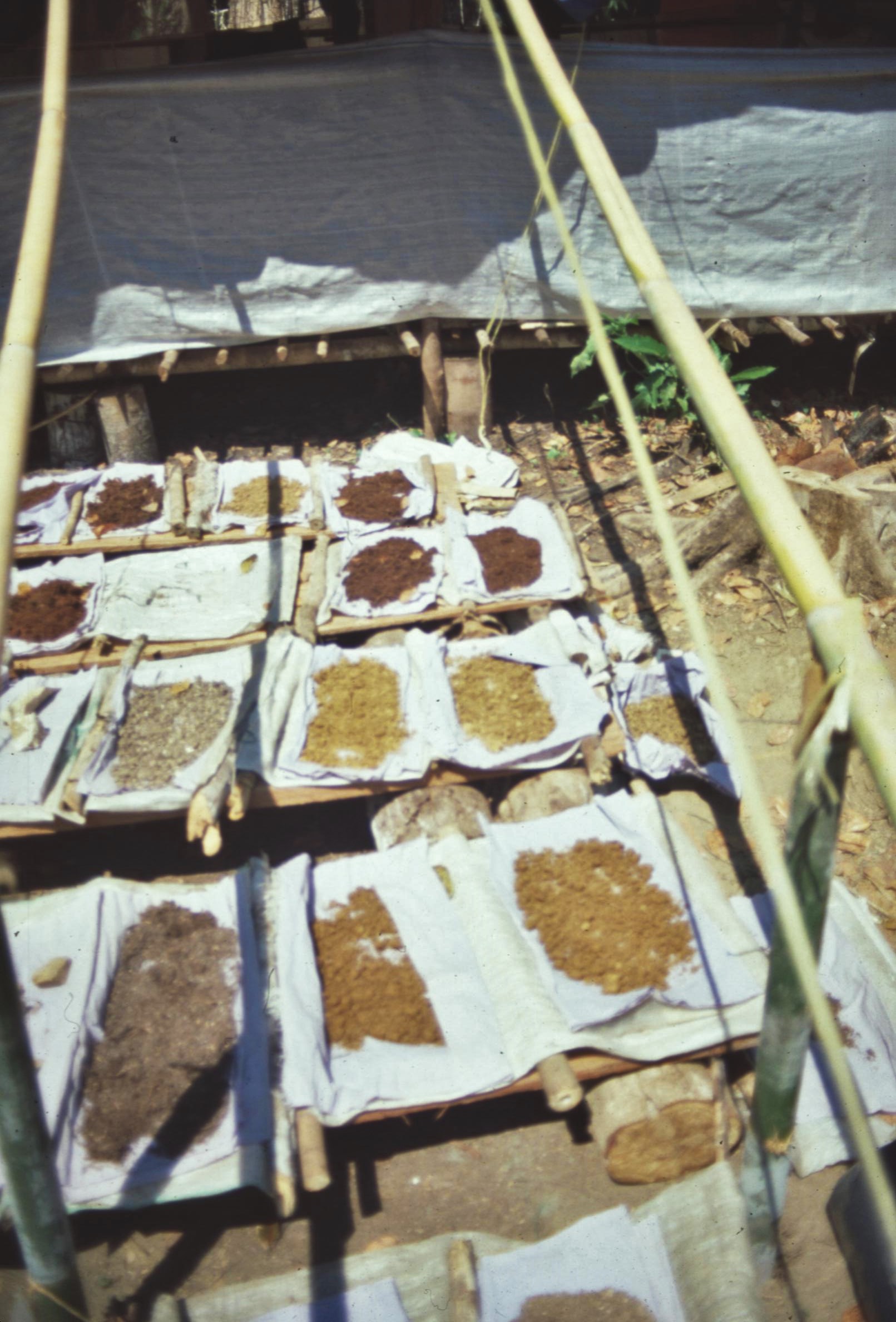
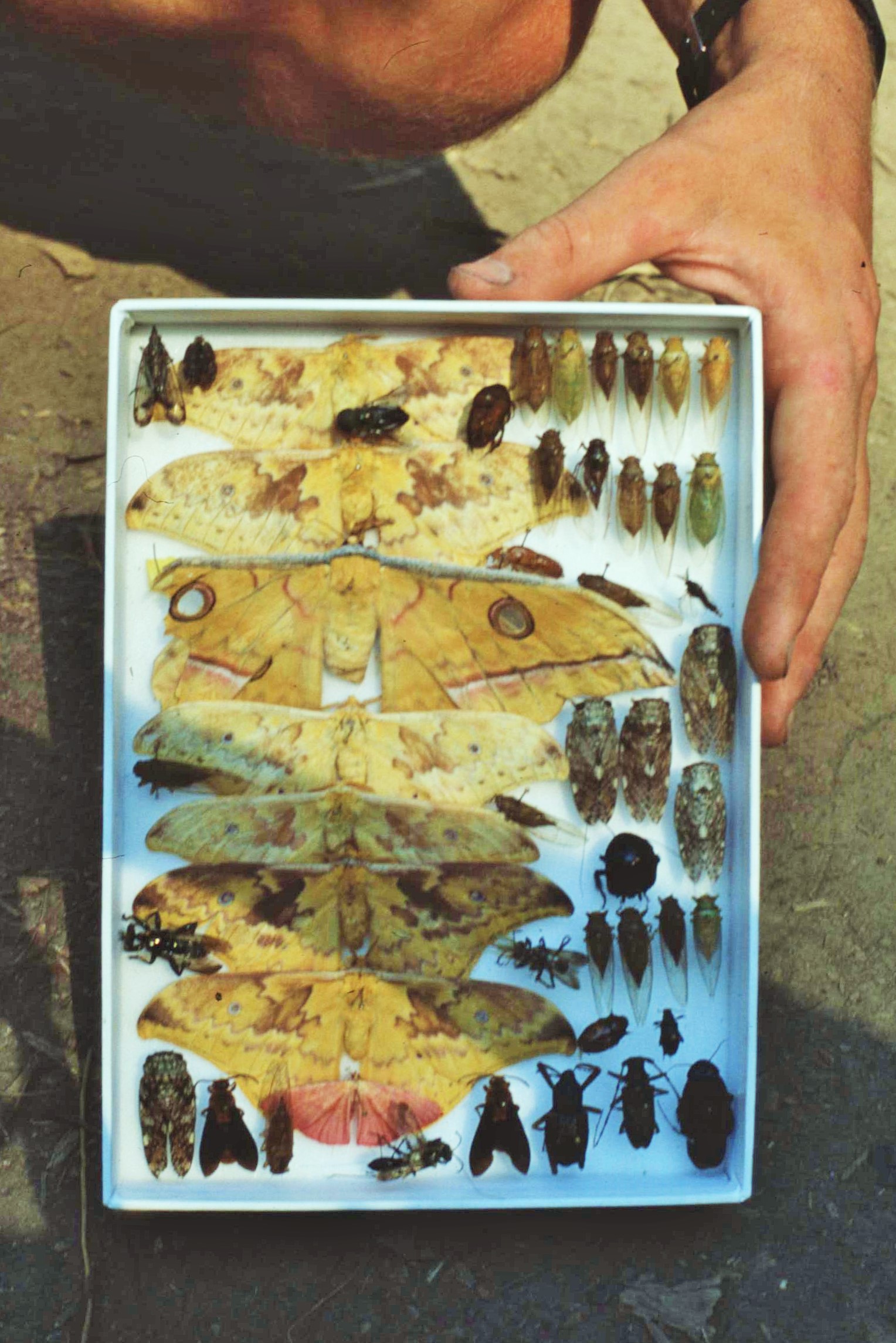
To compliment the collection of botanical and soil samples, there were all manner of fascinating (and sometimes quite scary looking) “creepie crawlies” to discover. Indeed the trapping, collection, sorting and preservation of beetles, bugs and flies for the Museum of Natural History in London was one of the key aims of the expedition. This was something that had always fascinated me; as a student I used to spend ages between lectures walking around the Royal Scottish Museum in Edinburgh looking at the various insect collections on display. Quite often these would be contained in rather bland looking and dusty old display cases – however, the simple act of rolling back a cover would reveal otherworldly realms populated by magical, iridescent blue butterflies, beetles the size of helicopter gunships and incredible stick insects of emerald green.
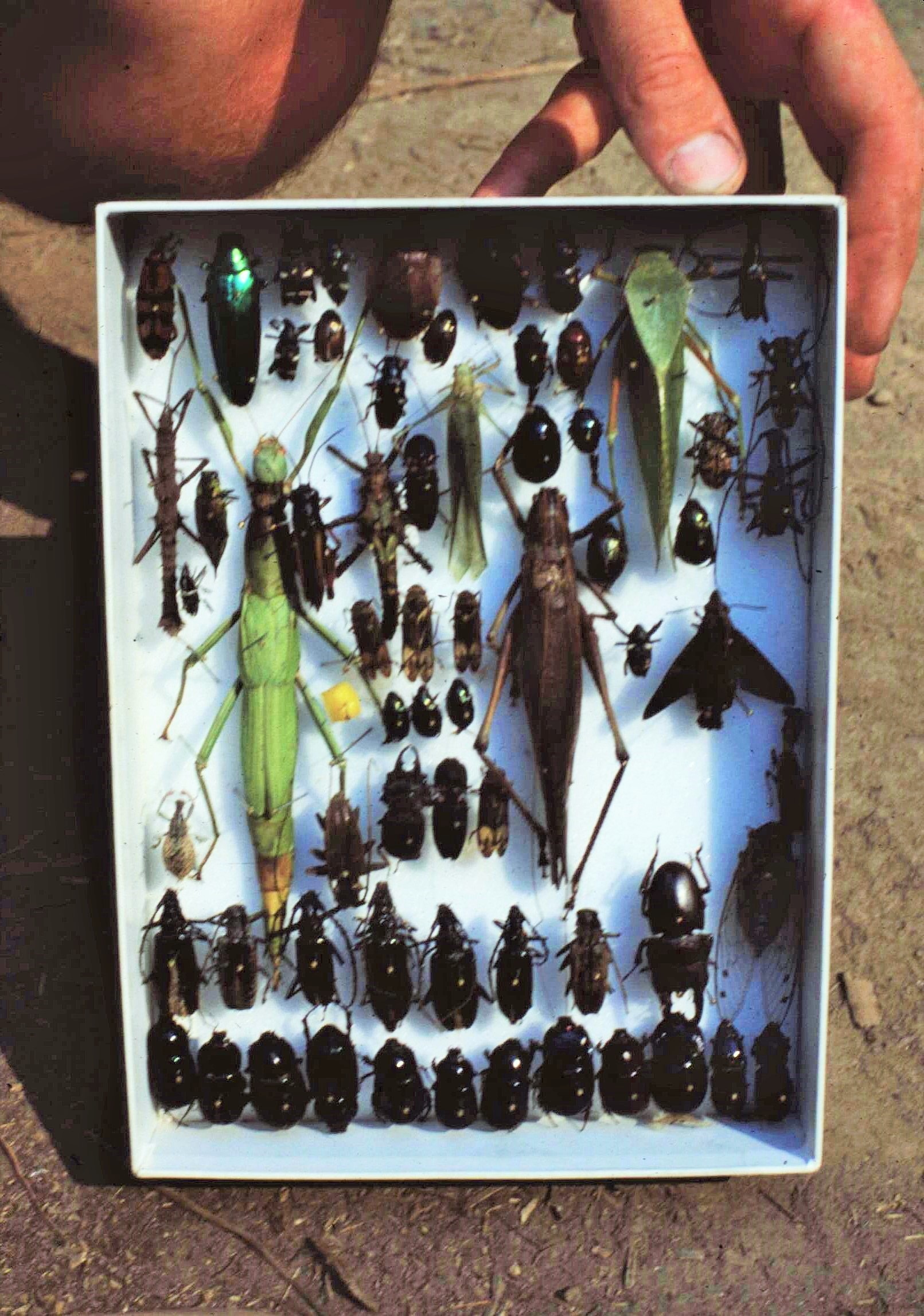
The Island of Seram is located within the “Wallacea” region which was named after British Naturalist Alfred Russell Wallace. It was Wallace, who independently and simultaneously with Darwin, came up with the Theory for the Origin of Species by Natural Section – although Darwin as an establishment figure, received the greater part of the credit. The Wallacea is the region where the flora and faunas of Asia and Australasia mix and merge.

Although strictly speaking, the actual Wallace Line is located further to the West between the Islands of Bali and Lombok, the region of the Moluccas is still very much a biodiversity hotspot, dominated by species of Australasian origin. The large range in altitude from sea level to almost 3000m, and existence of land bridges resulting from fluctuating sea levels over geological time, have also helped to create diverse ecological niches which have favoured the development of a whole host of endemic species, which are found nowhere else in the world.

One particularly interesting piece of research was the use of a so-called “fogging machine” which was designed to collect insects from the tree canopy where the bulk of species are actually to be found in a rainforest. This involved the use of a sprayer containing a knock-down agent which was hoisted high up into the tree canopy; once in position, the knock-down agent would be released around a predetermined area of the canopy.

Soon, a steady shower of insects would start to rain down from the canopy, to be collected in a series of buckets laid out on the ground below. The collecting buckets were marked out in a very systematic grid, thus allowing the researchers to estimate the density and distribution pattern of insects at any given location within the tree canopy above.

2021-02-20-19-08-003

The research yielded many incredible species previously unknown to science, thus giving new insights into the complexity and biodiversity of the rainforest ecosystem. The best specimens were taken away for further analysis and for potential display in the Museum of Natural History in London. Although this might seem a draconian approach, only a fraction of species from the rainforests of the world have, even now, been identified and recorded. Through understanding the true diversity and potential value of these forests, it is possible to increase efforts to promote their protection in the longer term as part of global natural heritage and with potential social and economic benefits.
The scientific staff on the expedition were also joined by a team who organised logistics for the expedition, many of whom came originally from a military background. One person who deserves a special mention in this respect was Wandy Swales, the Expedition Leader who did a remarkable job keeping the whole thing running smoothly and efficiently, coordinating the various projects and teams through very testing circumstances and terrain.

This job was complicated in the extreme by the rescue efforts on Binaia and the need to keep people informed of developments back in the UK and other countries. Wandy Swales was supported by an experienced team who included Steve Oliver and Kris Kendall amongst others. Generally the scientists and the logistics professionals worked well together, however on occasions, the different approaches could make for an interesting combination.

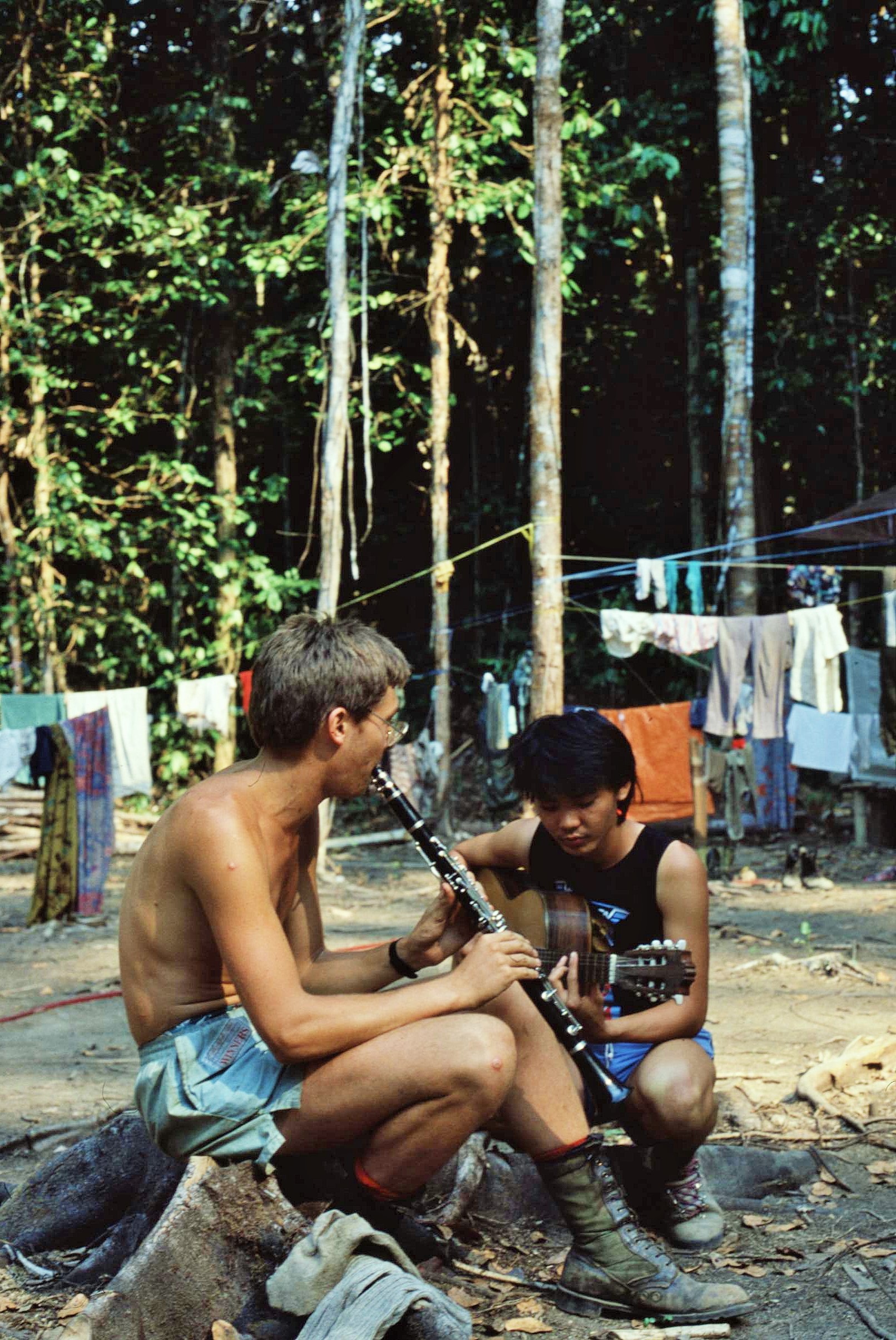
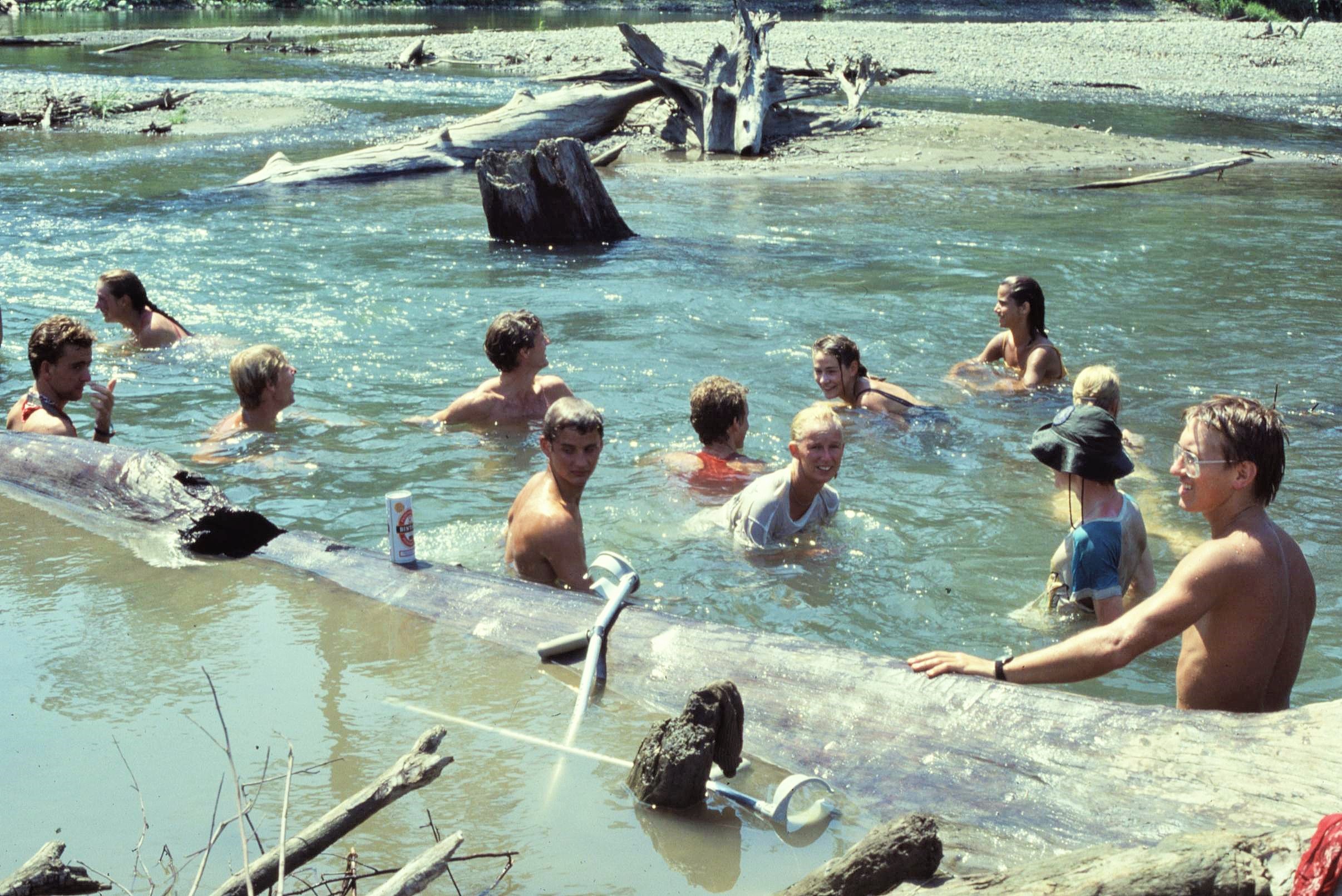
It certainly wasn’t all work though and there was quite a bit of partying going down at “Club Med” Solea – including one particular all-night event which, I must confess, I don’t really have much memory of at all. I do remember though that some of the Indonesian press caught on to the Club Med theme and came up with all manner of stories based around the theme of nudist camps in the jungle and other such tabloid sensations. Well sorry to say, that really all was just hearsay really; though I have to admit Solea was indeed quite a sociable and happening place after being out in the remoter parts of the Island. It also shows how cultural sensitivities can become an issue when people let their hair down just a little too much in a different environment – we must all learn to respect.
Anyway just when things were getting just a little too free and easy, it was time to go off on another tough assignment – this time a week’s trek to the Kobipoto Ridge in the Park’s interior to help with rainforest surveys strung out at a range of different altitudes at on the steep mountain ridge. Our work here involved undertaking insect and vegetation transects and collecting soil profiles from various sample plots. This was a considerably tougher assignment than the base camp option, particularly given the fact that there was no water supply on the limestone Kobipoto Ridge and all water had to be carried up in huge plastic drums which just about fitted into a backpack. These wobbled around as the water sloshed about in the drums – most disorientating when trying to negotiate a slippery and barely discernable mountain path in the baking heat!

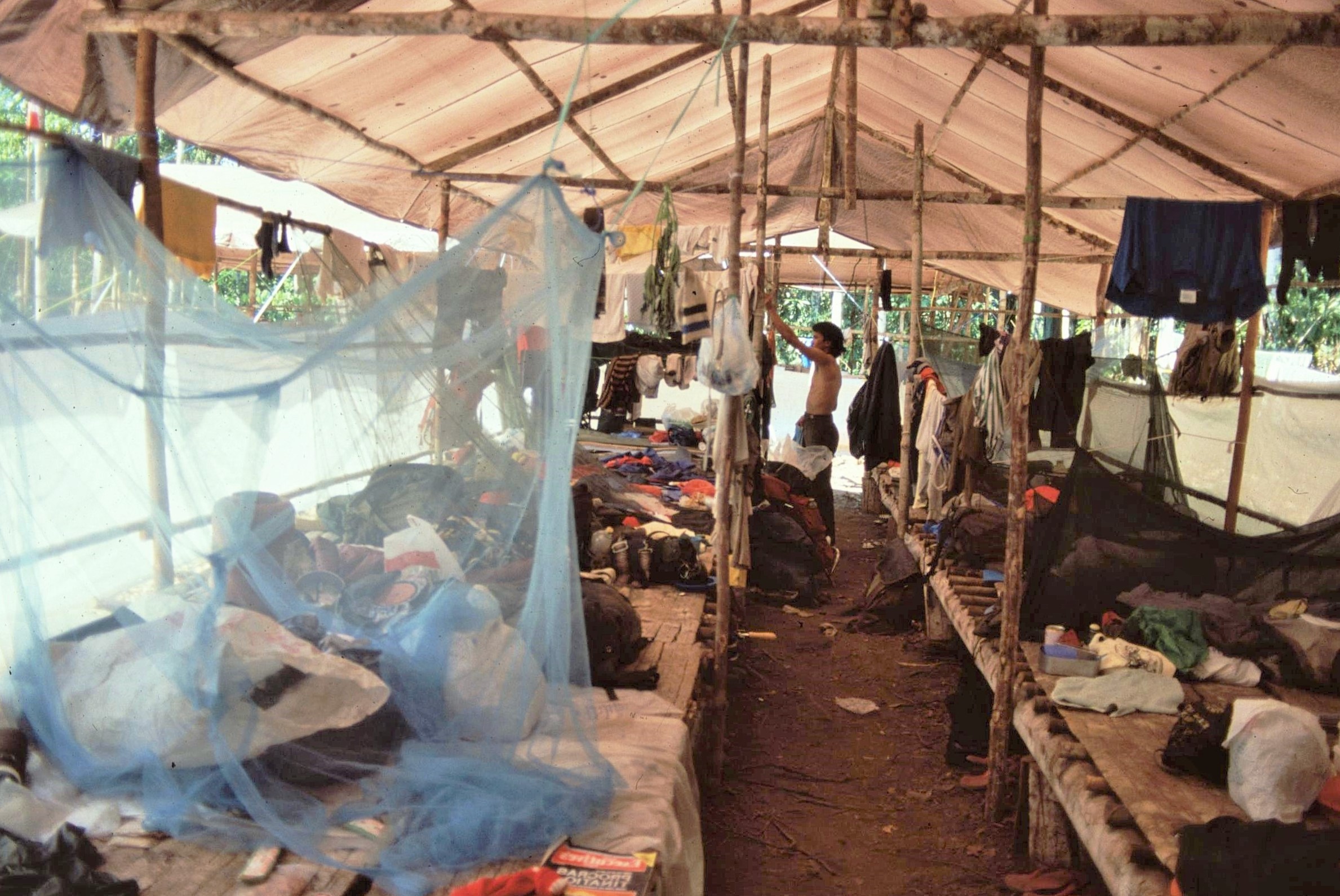
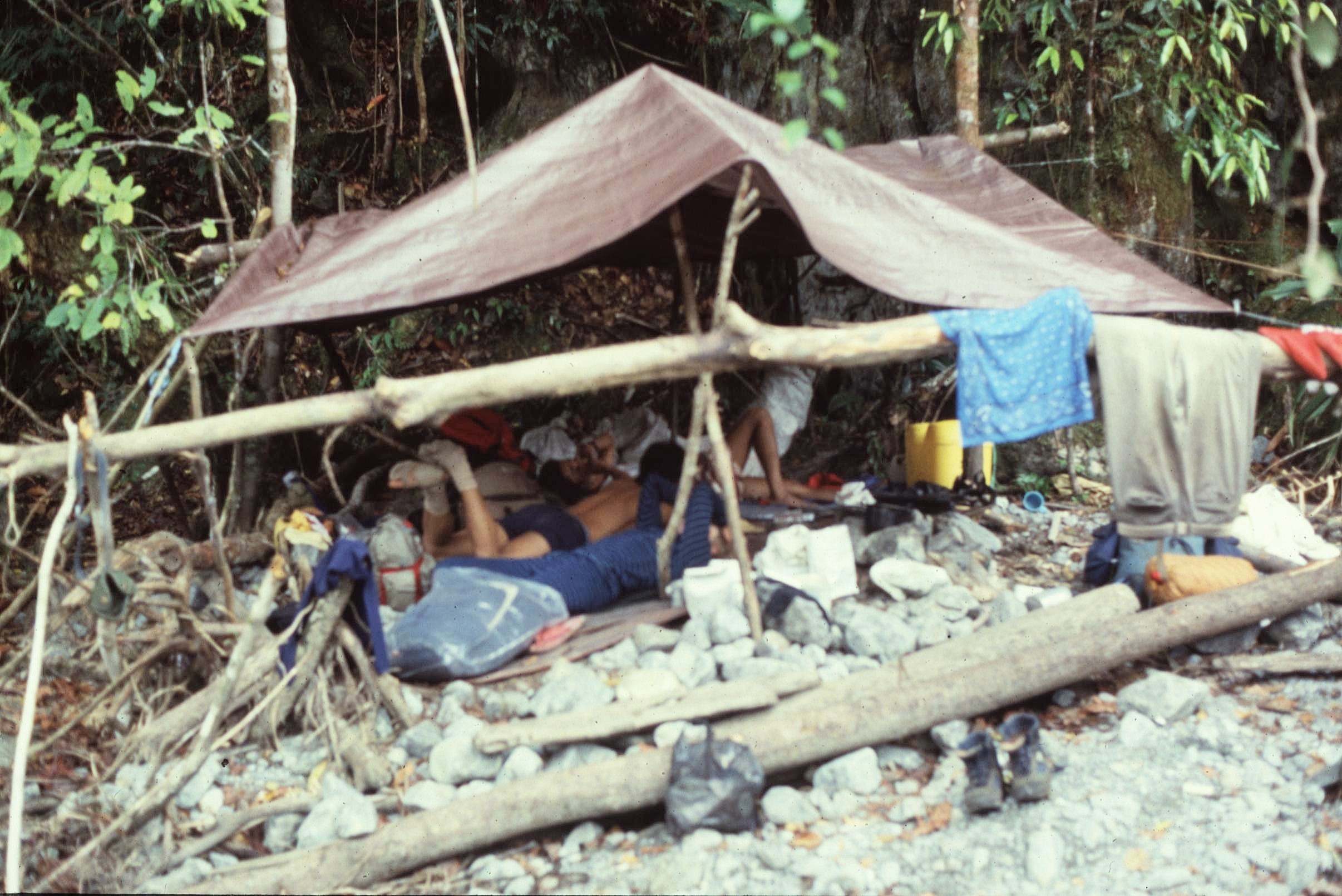
The camps on this leg of the trip were amongst the most basic on the expedition and usually involved stringing up a hammock between trees or sleeping on the ground on a stony riverbed underneath a basic tarp. Care always had to be taken to use a mosquito net as there was a high risk of malaria, which a number of participants later succumbed to. This included a friend of mine, Mark Wilson, who had a very serious bout of Malaria which reoccurred for a couple of years after the expedition (sadly Mark died a few years later following a head injury sustained through a rugby match in England). Another hazard were also weeping tropical ulcers, which occurred when small cuts or scratches became infected and then turned septic over the course of a few days. Without treatment, these would simply not heal in the humid tropical climate and could soon grow to become huge open sores oozing puss (most unpleasant indeed !).

Other larger campsite hazards included marauding wild pigs which could become aggressive when disturbed in the night. I remember one night when we all had our hammocks strung up some distance apart – suddenly there was a loud snorting and a rustling in the undergrowth; quick as a flash everyone dashed out of their hammocks and piled into a small hollow, huddling close for security against the unseen pig menace. Other camping hazards included giant poisonous centipedes and snakes; particular the “death adder”, the most venomous snake found on Seram. One night a group apparently also even had stones thrown at them by a group of nomadic hunters, who had probably never seen such white “devils” before in their forest.
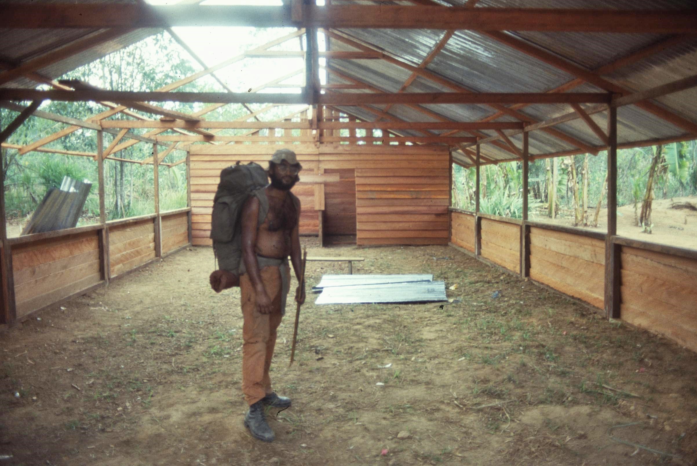
After the Kobipoto excursion it was nice to return to Solea for the final leg. I spent a few days there working on a community project to create a hall in a local village. Although the work was fun and progress was easy to gauge, I  must confess that this project was the one which I was most cynical about during the whole expedition. It didn’t seem that there had been much in the way of consultation with local people prior to the project commencing, or indeed that the project indeed satisfied any clear need as identified by the community.

Added to that the fact that the locals possessed very good building skills of their own, it appeared most likely that the project was more to do with occupying the venturers than delivering tangible local benefits. However, I’m sure the motivations behind the community project were good, though I did hear a rumour that the local people had later taken down the structure and reused the materials elsewhere. Therein lies a lesson; thou shalt consult !
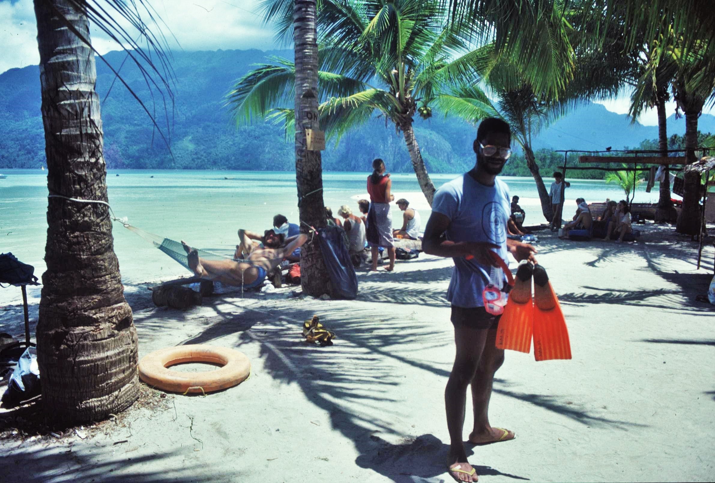
We were now coming toward the end of a fantastic and challenging 3 months with Operation Raleigh on Seram. For a final fling, to satisfy logistical requirements of assembling everyone together and (most importantly) for a bit of well earned chill-out time, we headed to the idyllic paradise of Sawai Island, located in a spectacular bay, just off the coast from the village of Sawai itself.

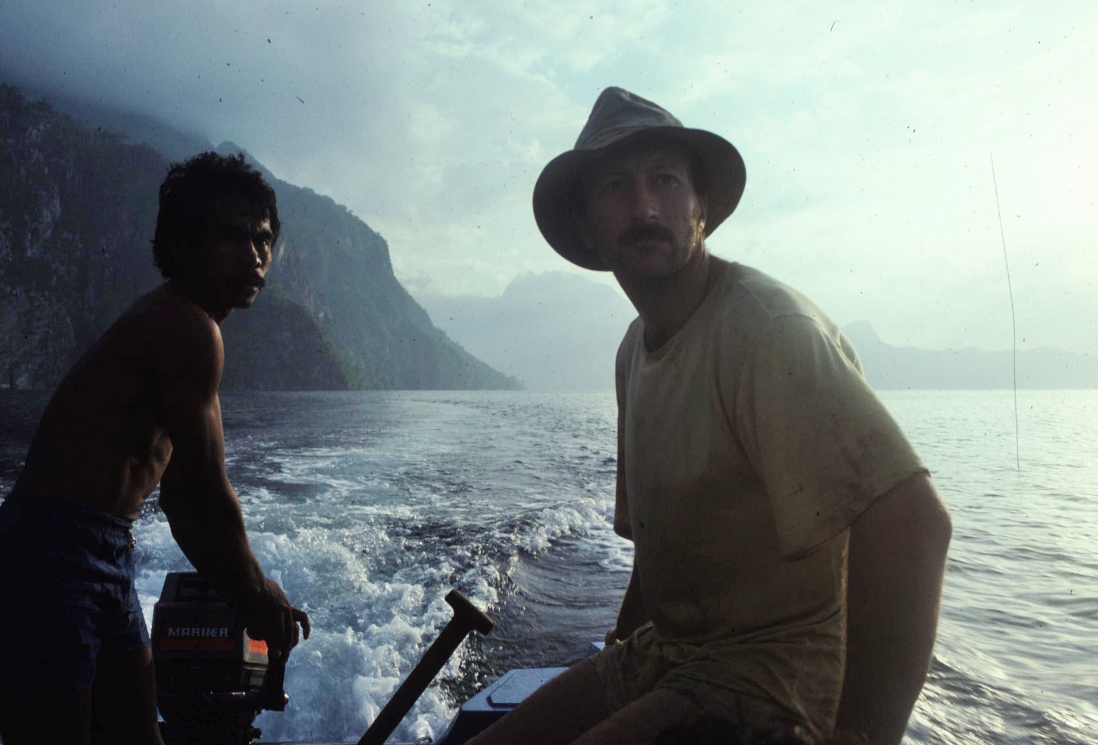
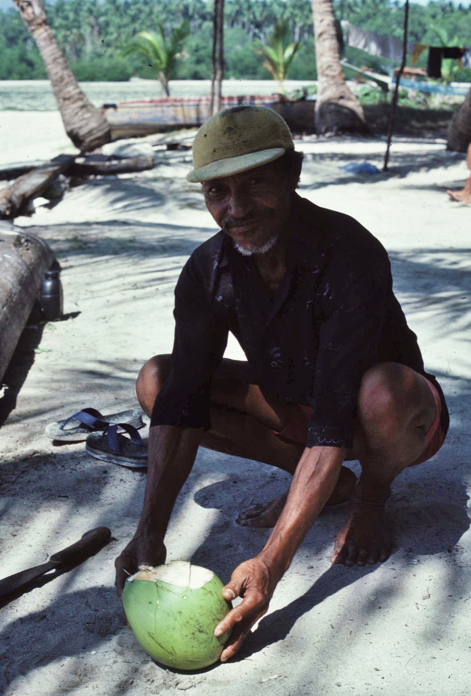
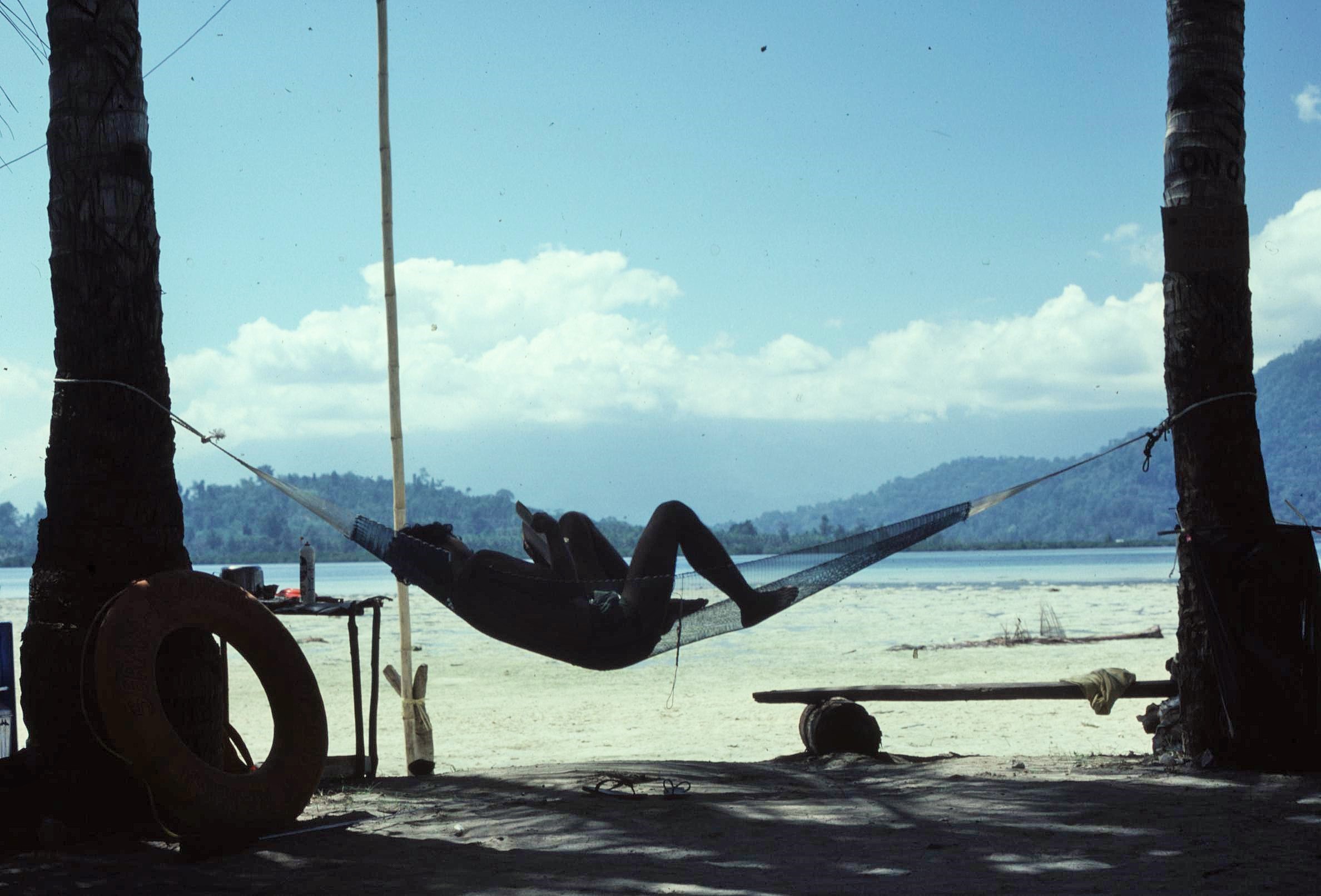
The island was a tiny, sandy, speck of land dotted with coconut palms set in a fjord-like bay fringed by towering limestone peaks. It barely rises above the perfect turquoise sea which is encircled by numerous coral reefs. If ever there was the perfect castaway destination, then we’d surely discovered it here on Sawai Island. Days were spent snorkeling on the coral reefs, drinking fresh (preferably fermented) coconut milk, relaxing in hammocks or just enjoying the splendid company and the setting.

Far better than any exclusive millionaires retreat surely – this was the real desert Island experience. In the evenings we’d sit around the campfire under a roof of a million stars, with party games which would become increasing more boisterous as the evening wore on – eventually degenerating into rowdy and impromptu reggae-limbo dance competitions and other such skullduggery; quite the stuff of “Bounty Bar” adverts.

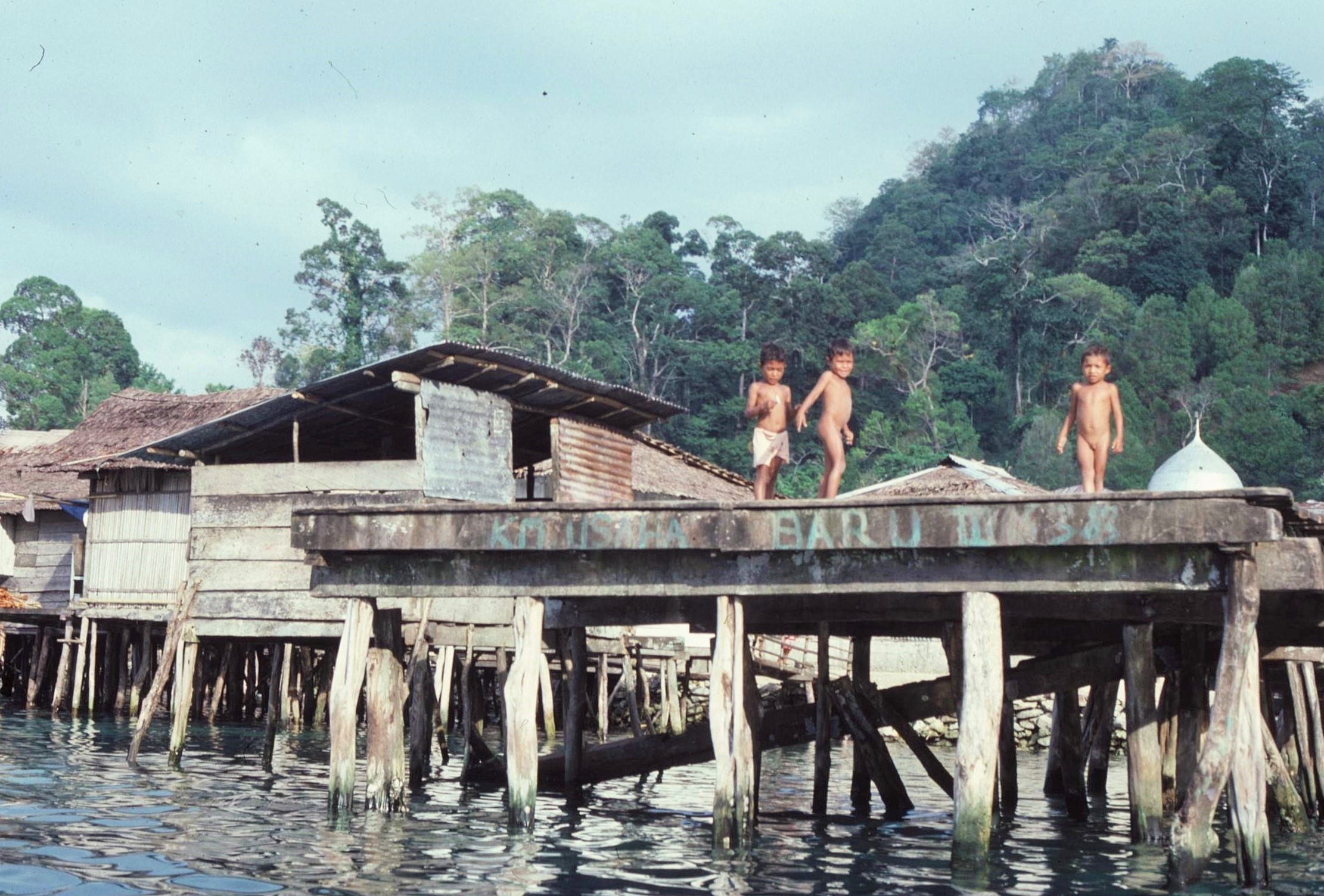
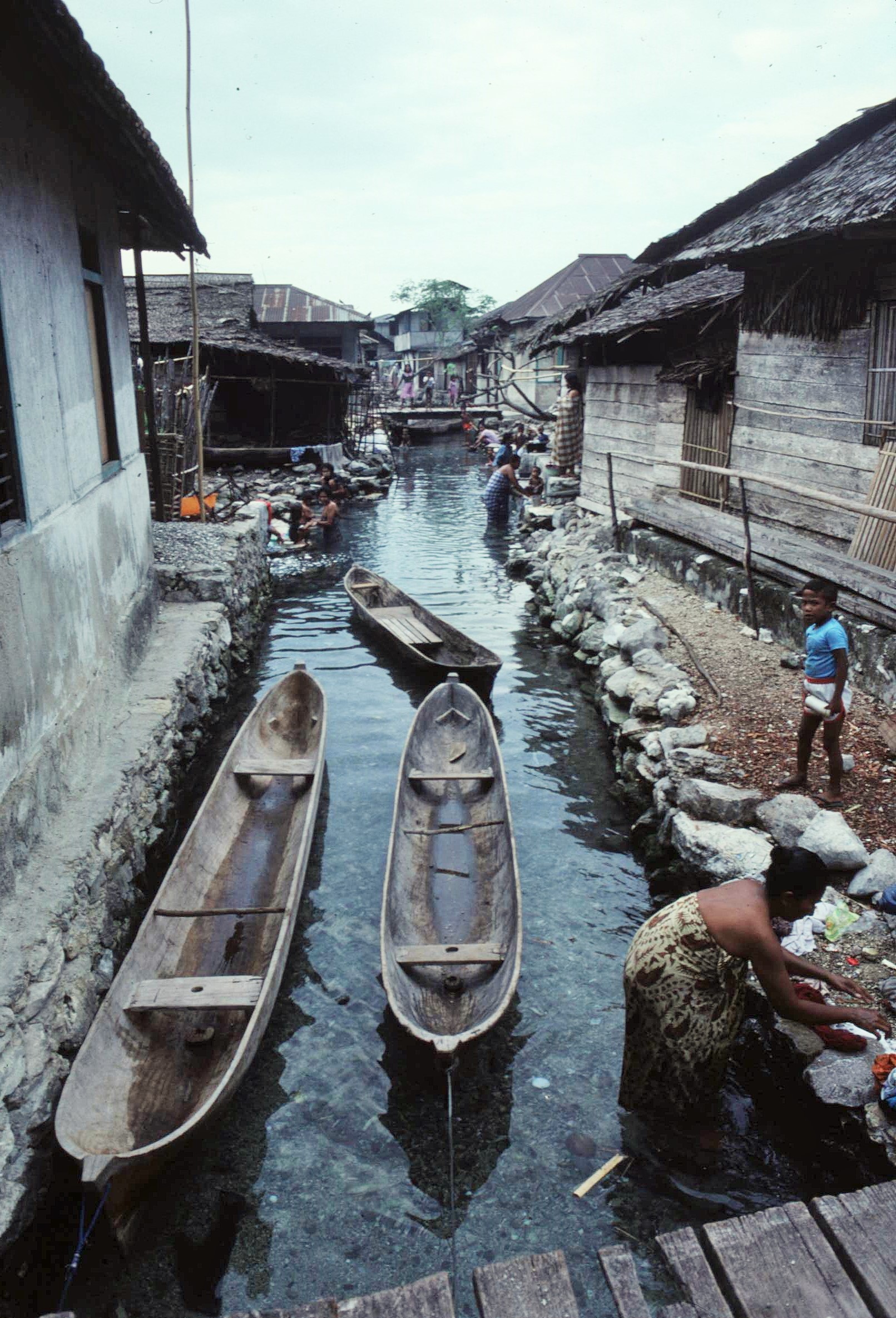
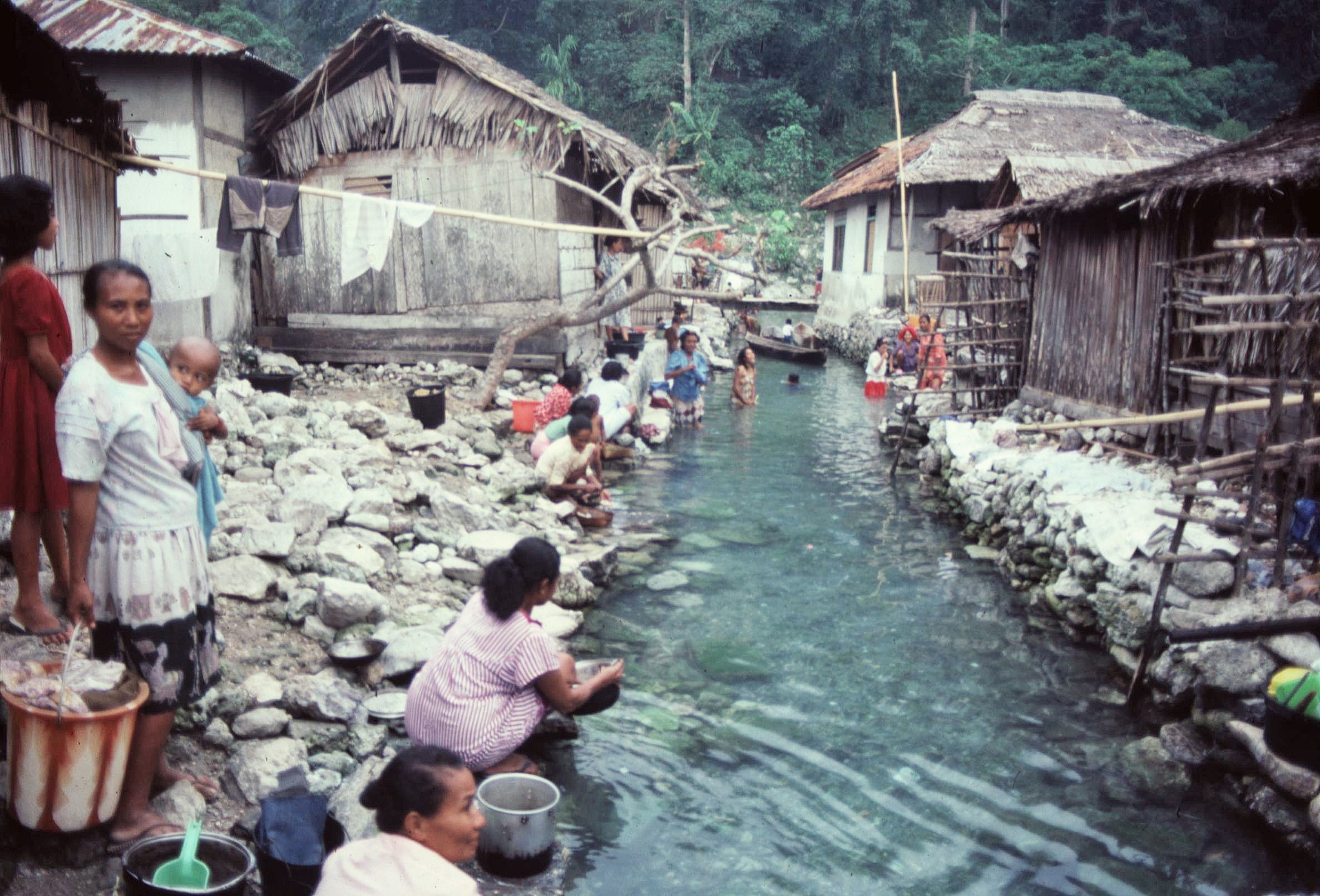
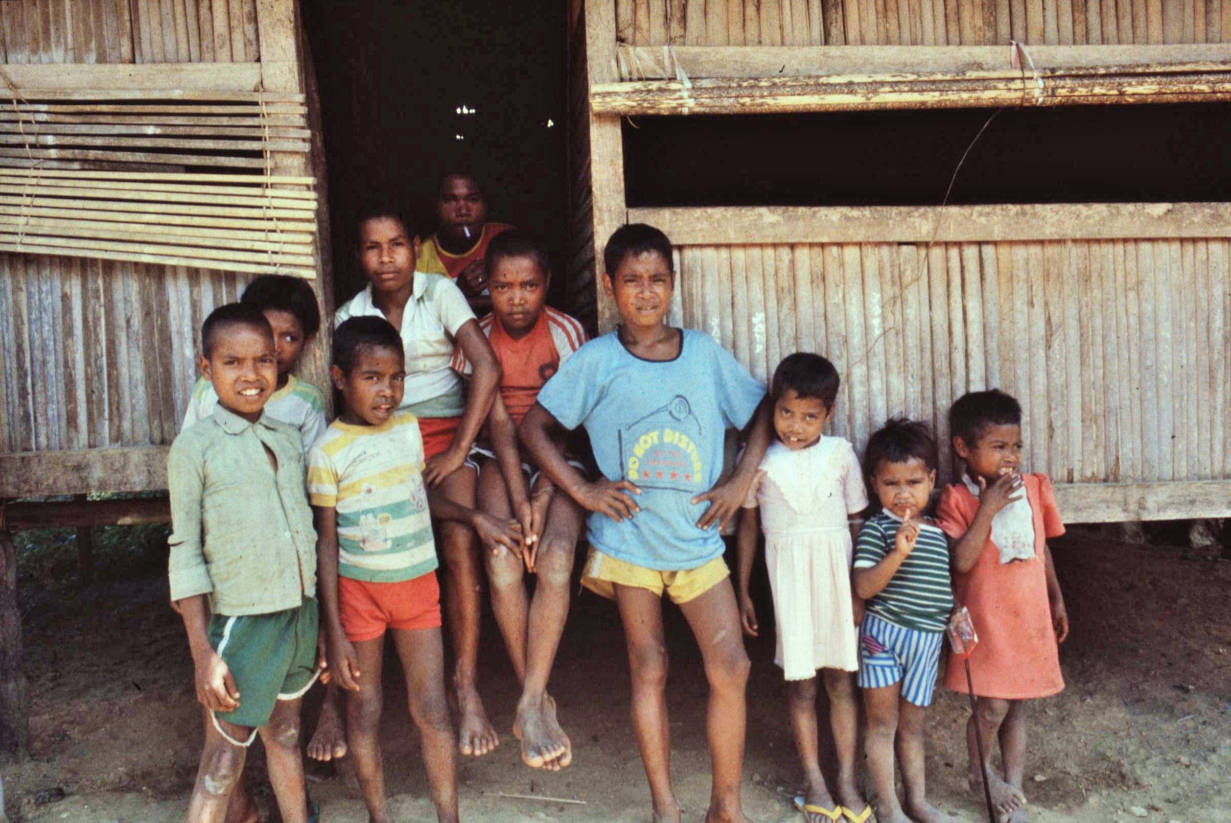
We also took some short trips across the bay to visit Sawai Village itself. This was a fascinating little place, with houses set on stilts in the manner of iron age Scottish crannogs and a network of small canals behind the houses. Locals used these for all manner of functions including as boat berths, bathing places, cooking and food preparation areas and as social spaces. Like most places on the Coast of Seram, this was a Muslim village, with a rather impressive mosque compared with any others I’d come across on the island. The kids on the pier were also good fun and dependable; with a most irritating plop, I accidentally dropped a skylight filter from my camera lens into the water. Within a minute one of the kids had dived in and retrieved it from the murky depths, a big smile on his face indicating his sense of achievement at the rescue mission.
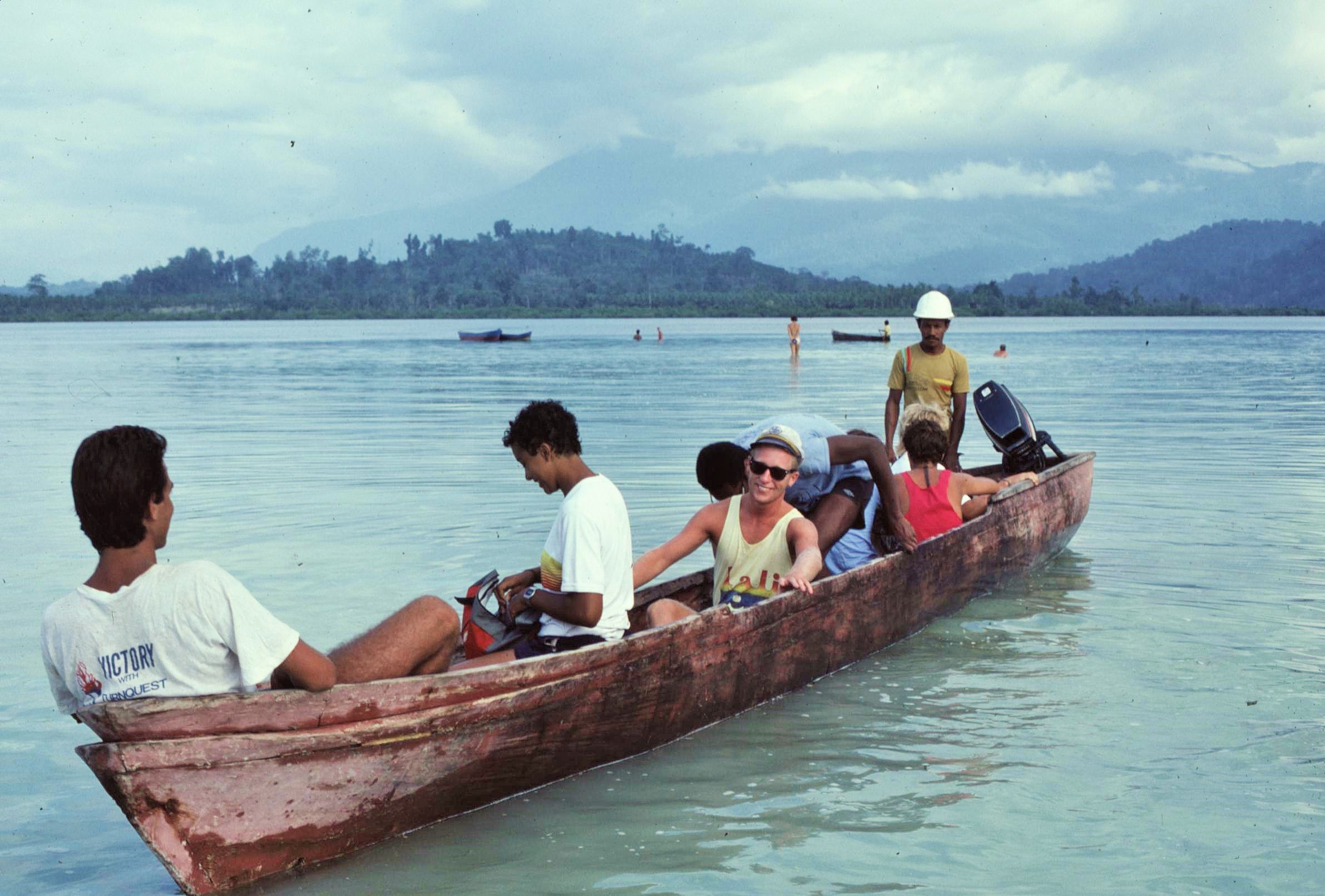
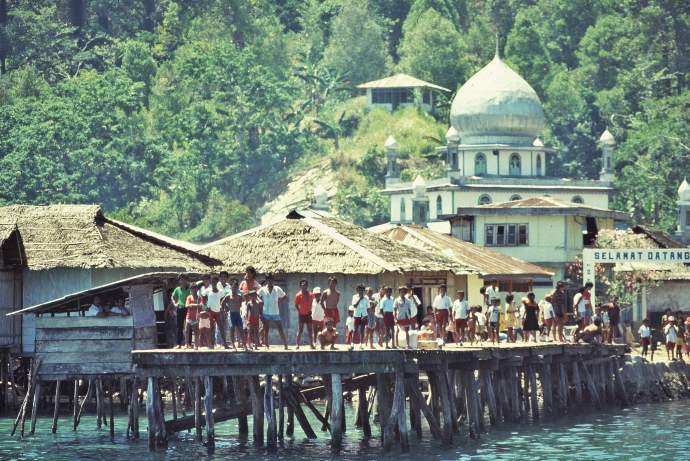
Our final departure from Sawai Island and indeed from Seram, was as dramatic and memorable as any part of the whole expedition itself, involving a night time rendezvous with the passenger ferry to Ambon at Sawai village on the opposite side of the bay. This crossing from the smaller island under the light of the stars, involved negotiating a treacherous passage between the reefs, in a small boat laden down with people and gear and using a handheld torch to pick our way through the gaps – the paddles of our boat creating beautiful and surreal splashes of bioluminescence amidst the shimmering water, before we could safely start up the outboard motor.

Meanwhile the powerful searchlights of our rendezvous vessel swept the rocky headlands of the distant coastline under a still, starry, tropical night. Finally, safely on board the larger boat and the engines rumbled into life. We set course for the port of Ambon and to greet the dawn of the new day on different shores.

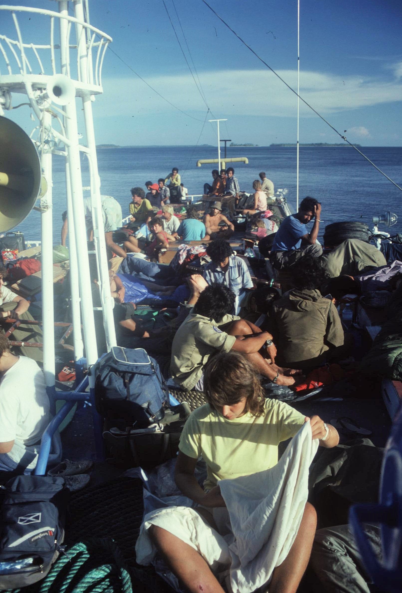
After a couple of days in Ambon, doing very civilized things like eating ice cream and drinking beer, we once again boarded the KM Rinjani for the longer trip back to Jakarta – somehow a more mellow and reflective trip than the outward voyage just three months before. The departure from the quay was a bitter-sweet mixture of fond farewells, tinged with a hint of melancholy – a veritable sea of colours, waving arms and familiar faces of friends that we wouldn’t be seeing for a long time to come, if at all.  The Rinjani inched majestically out of the port and headed to the West, the outline of Ambon and Seram soon becoming but a distant blip and a memory on the horizon. Meanwhile more soup with floating chickens’ feet awaited in the restaurant and there was some serious action to be had down in the disco again that evening.
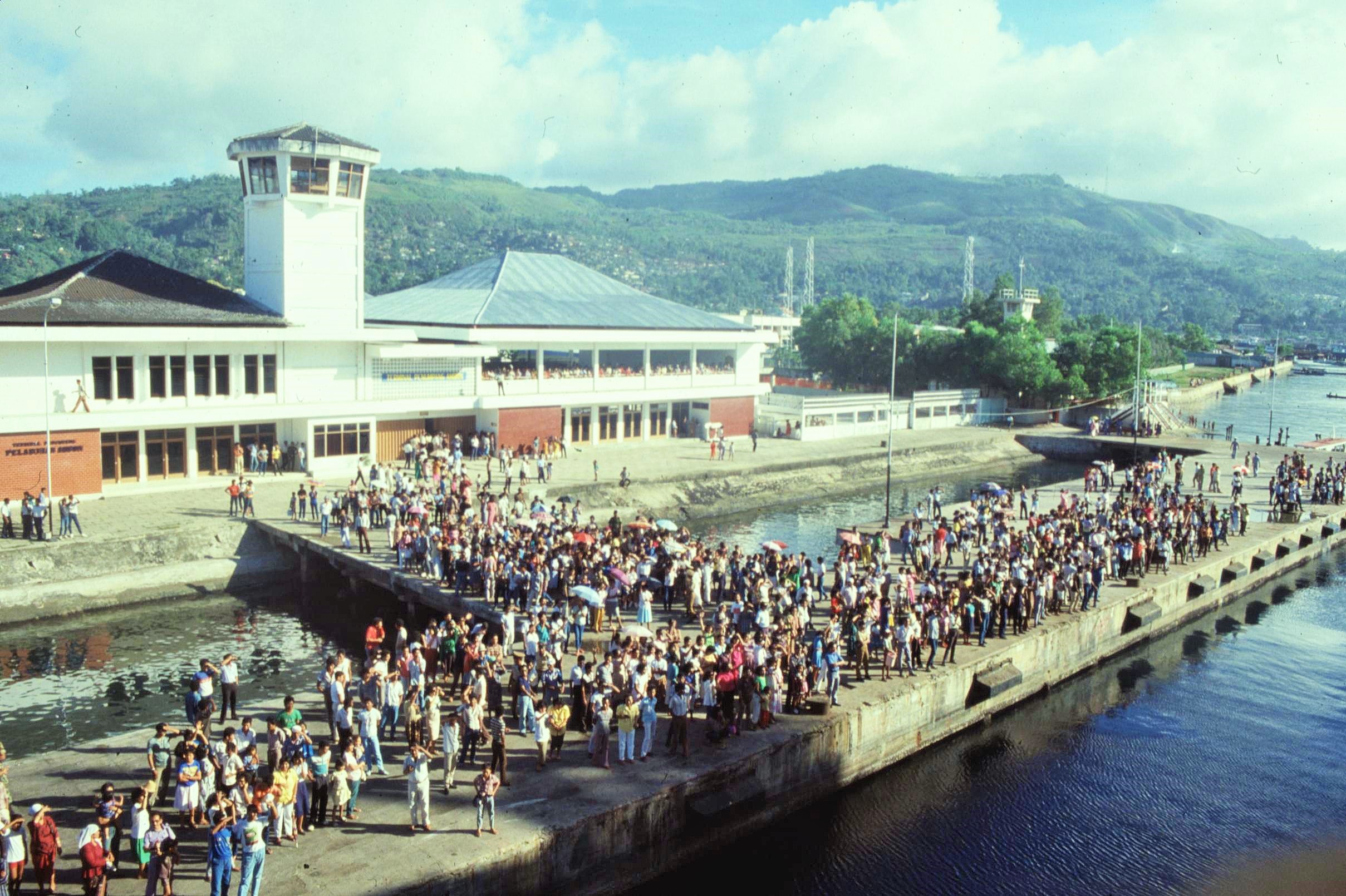
Further formalities awaited us in Jarkarta, before the long flight back to the UK. I remember a final crazy party in the grounds of the British Embassy there where some stuffy embassy officials dared to try and dampen the party atmosphere, by pointing out that the rules didn’t include night time use of the pool – I  distinctly remember hearing the jobs worthy official saying, “If one more person goes in that pool, then this party is WILL HAVE TO STOP….”

Then PLOP …!! as he too, was literally picked up and hauled fully dressed into the water – such was the indomitable spirit of Operation Raleigh Venturers !

I arrived back at Gatwick in shorts and a T-shirt on a chilly October day, with a tribal machete strapped to the side of my rucksack (don’t think that would happen these days !). Nobody had reminded me it could be so cold in Britain, or that people didn’t appear to smile or laugh very much. It was a long, drafty train journey up to Glasgow, but I put on a brave face on things nonetheless; I’d survived Seram and so a little fresh fickle British weather certainly wouldn’t get the better of me.  People dressed in their winter woollies did however give me some decidedly strange looks that day though, as they skulked defensively behind their gloomy British tabloid newspaper headlines, discussed the vagaries of the weather or bemoaned the latest football results…

Postscipt:

There are still a myriad of images etched on my mind from Seram; night time reggae-limbo dance parties on the beach, steaming rainforests, cheeky village kids and giant creepy crawlies; all far too much to do justice to here. At the time there was never the opportunity to process or digest the experience in depth; just to leap straight into the next project which involved finishing my degree and handing in a dissertation which I hadn’t even started  by the date it was due for submission (they did give me an extra week in the end !).

After Seram, life took many twists and turns (some positive, others less). After finishing my degree in Edinburgh I was soon doing an MSc in Natural Resources at Bangor and joined a small student expedition to study the cloud forests and paramos of the Ecuadorian Andes – a very differ kettle of fish altogether from Operation Raleigh. Following a couple of short contracts working for conservation projects, I then joined VSO to work as a Community Forester in Nepal.  Returning home from Nepal, and somewhat disillusioned with overseas development projects, I spent the next 15 years or so, working for environmental partnerships in England and Scotland before, once again, circumstances intervened and sent me over to Europe to begin a new (and altogether different) adventure.

Operation Raleigh taught me many things; particularly not just to accept life as it is frequently doled out to us; with a predictable future clearly mapped out. It taught me to take risks and to not to be afraid to make ‘leaps of faith’ into the unknown without the certain prospect of a safe landing. It made me aware that there are opportunities for exploration and adventure lurking around every corner but so many people are blind to these, or choose to ignore them. Finally, it taught me that people matter too; so much can be achieved with an energetic and dedicated group of like-minded and enthusiastic individuals who share a common purpose.

Further links on Operation Raleigh 10F Indonesia and Raleigh International:

Operation Raleigh 10F

Raleigh International: UK’s #1 Expedition Company

A note on photos: Anyone with an interest in the expedition is welcome to download or copy photos made by myself for personal, educational or non-commercial purposes. Please credit any photos to myself if reproduced in any format (this does not include photos by any external parties, as indicated). Please contact me if you wish to use any images commercially.


Gallery: some other Operation Raleigh Indonesia moments:


Posted in History & Culture, Trees & Greenspaces, Wild Places, World | Tagged , , , , , , , , , , , , , , , , , , , , , , , , , , , , , , , , , , , | Leave a comment

Seram: In the Indonesian Rainforest – Part 1.

This post covers the first part of Operation Raleigh 10F Expedition to the Island of Seram in Indonesia – The Expedition ran from July to October 1987 as part of a global comparative research programme on the diversity of tropical rainforests.

Sometimes a seemingly random incident, such as walking down a different street one day, or a chance encounter with a stranger can have huge and unforeseen consequences for your life. One such occasion happened on a damp, windy Edinburgh day in 1985, when I was queuing for an automatic banking machine. There were a couple of young ladies in front of me in the queue; they were having a chat about a round-the-world youth expedition called Operation Raleigh, which one of them was shortly due to participate in. I’d already heard vague rumours about Operation Raleigh previously and so I had some idea of what was being discussed.

It all sounded like a rip-roaring adventure – without further ado, I tapped the surprised lady on the shoulder and asked where I could find out more about the expedition. Having gleaned the necessary information, I didn’t need much further persuading – 15 minutes later I’d picked up an application form from a post office around the corner. Then, 2 years after the chance encounter in Edinburgh (and having undertaken a gruesome “selection weekend” and raised the necessary sponsorship money), I found myself in the Indonesian rainforest as a “venturer” with Operation Raleigh.

Operation Raleigh was a four year round-the-world expedition which started from the UK in November 1984. The aim was to involve 4000 young people of many diverse nations in a variety of challenging and adventurous projects of a scientific and community development nature. Expedition 10F of Operation Raleigh ran from July to October 1987 and focused upon the remote Indonesian Island of Seram.

The expedition continued global research on the comparative rainforest programme, which also included Costa Rica and Cameroon, studying variations in altitude on the diversity of flora and fauna on the World’s remaining rainforests. The expedition involved 120 participants and 60 staff and scientists from 14 different countries and was divided into a variety of scientific and community projects.

Even just getting to the island Seram was a major adventure in it’s own right. Seram is located in the Maluku Province of Indonesia. The Maluku or Moluccas, consist of a group of roughly 1,000 separate islands. These are the famous Spice islands which enticed Indian, Chinese, Arab and eventually European traders in search of nutmeg, mace, cloves and other valuable spices.

The flight from Gatwick to Jakarta in a 747 took 20 hours or so including stops – far longer than any air travel that I’d previously undertaken. This was followed by a few days on Java acclimatizing and getting to know other members of the team. The next leg of the Journey to the Moluccas Island’s capital of Ambon was made by ship. We boarded the KM Rinjani, an Indonesian state passenger ferry in Jakarta and enjoyed a very pleasant few days making our way through the vast archipelago of islands which make up the country, stopping off occasionally en route.

The ship was fairly new and so quite comfortable and really it felt like being on a cruise ship. I remember an interesting and somewhat incompatible assortment of facilities on board including a disco and a mosque, with regular calls to prayer (although the 2 weren’t in direct competition with each other). There were even organised exercise sessions on board to get the Raleigh participants into shape, much to the amusement of the other passengers. The food was interesting too and very flavorsome, as long as you didn’t mind the occasional chicken’s foot or head found floating in the soup. During the voyage we made a couple of impromptu stopovers, for example on the island of Sulawesi, where a flotilla of small boats took people ashore from the Rinjani, as the harbour facilities were unsuitable for such a large vessel to dock.

Conditions on the next leg of the voyage from Ambon to Wahai on the Northern coast of Seram were certainly not quite so luxurious. We boarded a small and packed boat for the overnight trip which was weighed down to the gunwales by people and baggage of all shapes and sizes – not to mention any number of cows, goats and chickens. Conditions above deck were baking hot in the blistering sun. This however was the better option, as conditions down below were unpleasant in the extreme with the stink of animal poo, stale urine and diesel fumes mixing together in a toxic brew.

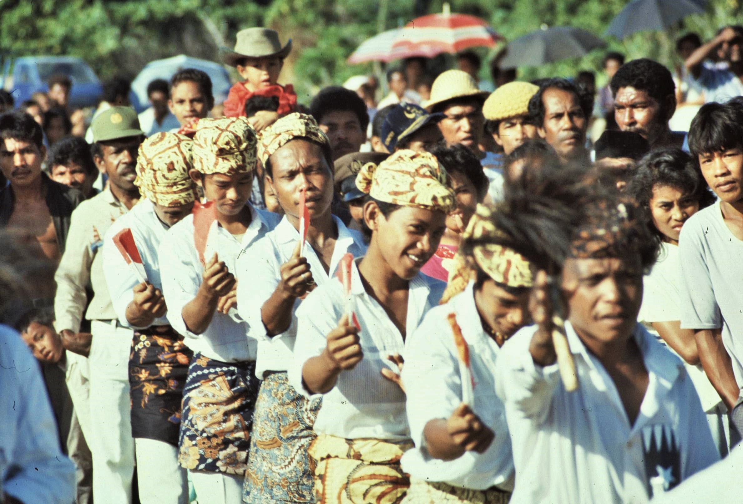
Our arrival in the small port of Wahai was accompanied with great enthusiasm and interest from the curious locals, who staged a welcoming ceremony with traditional dances, official speeches and ritual greetings, especially for our benefit. There was also quite a bit of bureaucracy to process, including permits to enter the Manusela National Park where we would be working and the organisation of porters who would be carrying much of the expedition’s equipment. I didn’t get off to a very good start and had a bit of a fever and a touch of the “Delhi belly”. Consequently my departure from Wahai into the interior of the island was delayed somewhat by such inconveniences.

2021-02-20-18-59-004

2021-02-20-19-02-001

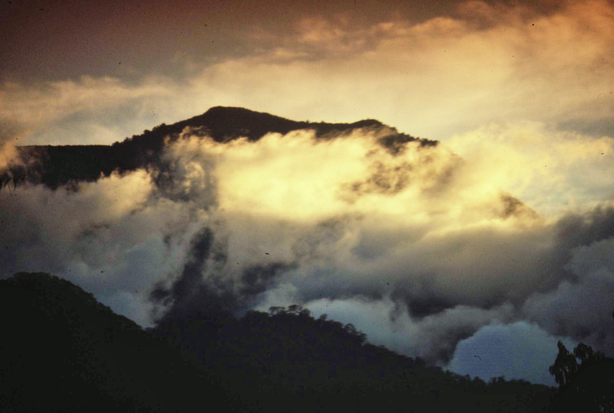
The island of Seram is split east-west by a range of high, jungle covered mountains, the highest of which is Mt. Binaiya (9000ft). The terrain here is extremely inhospitable, made more so by the intense heat and lack of water in the dry season. There were no roads into the interior of Seram and so we all had to hike to the various expedition camps and research venues on foot – given the tough terrain this was a tall order. Adventure was provided simply by surviving and working in these testing jungle conditions.

My first destination was Kanikeh, a research camp which was located in a mountainous area around 800m above sea level, in the “Enclave” located between the mountain slopes of the precipitous Merkele Ridge (which included Gunung Binaiya at 2940m) and the lower Kobipoto Ridge further to the North. The Enclave contained the villages of Kanikeh, Salimena and Manusela which could only be reached on foot from the coast.

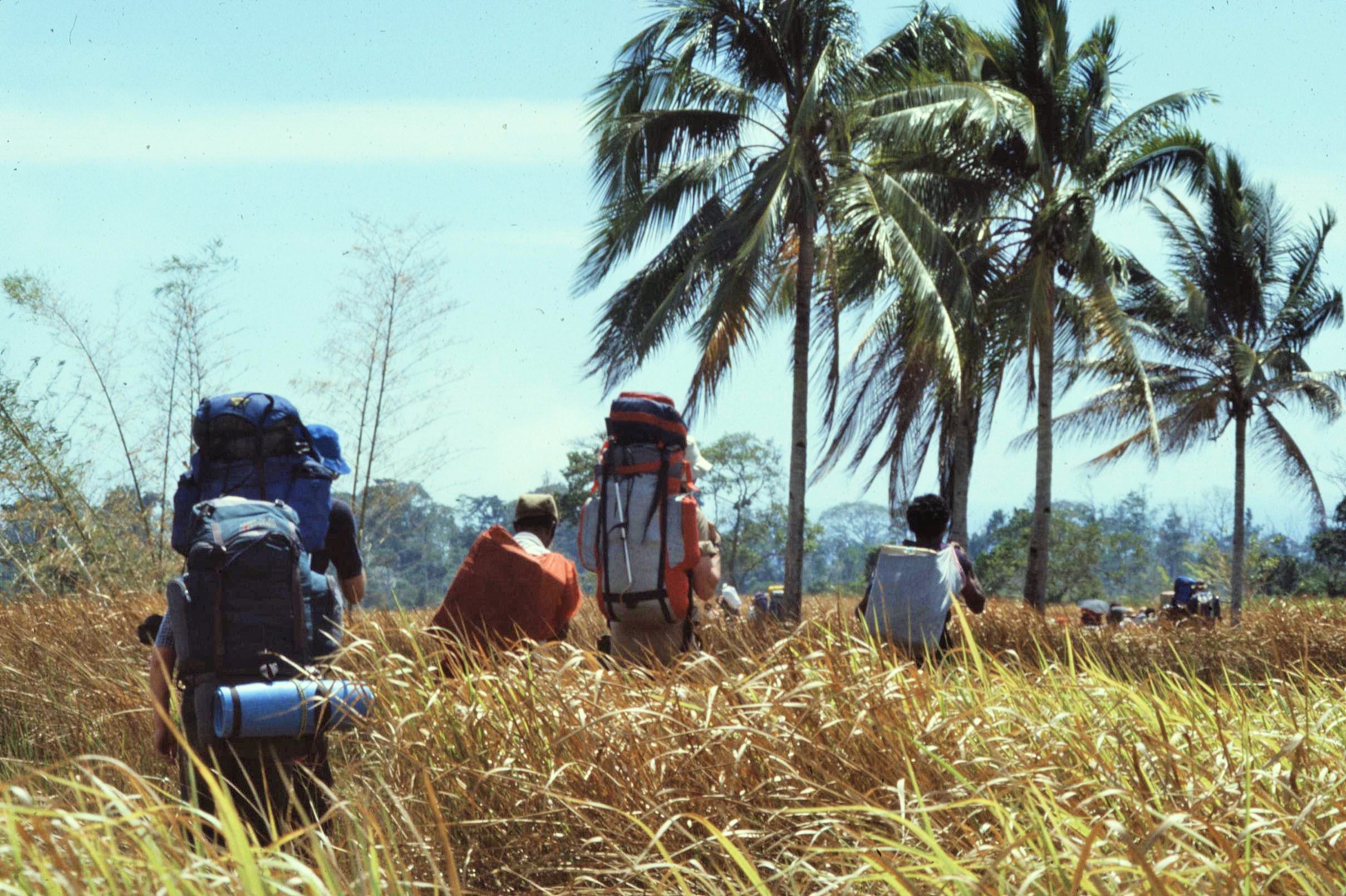
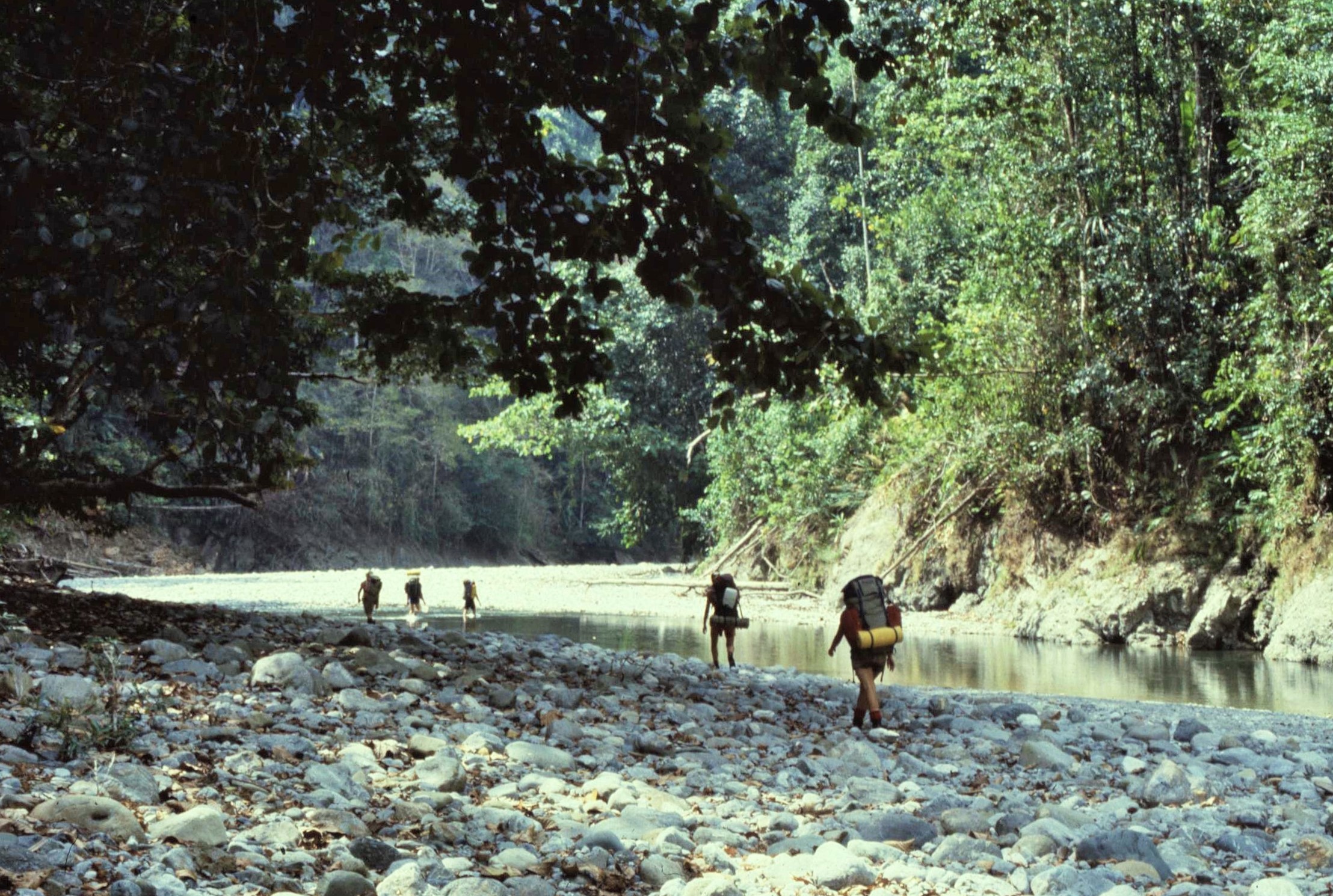
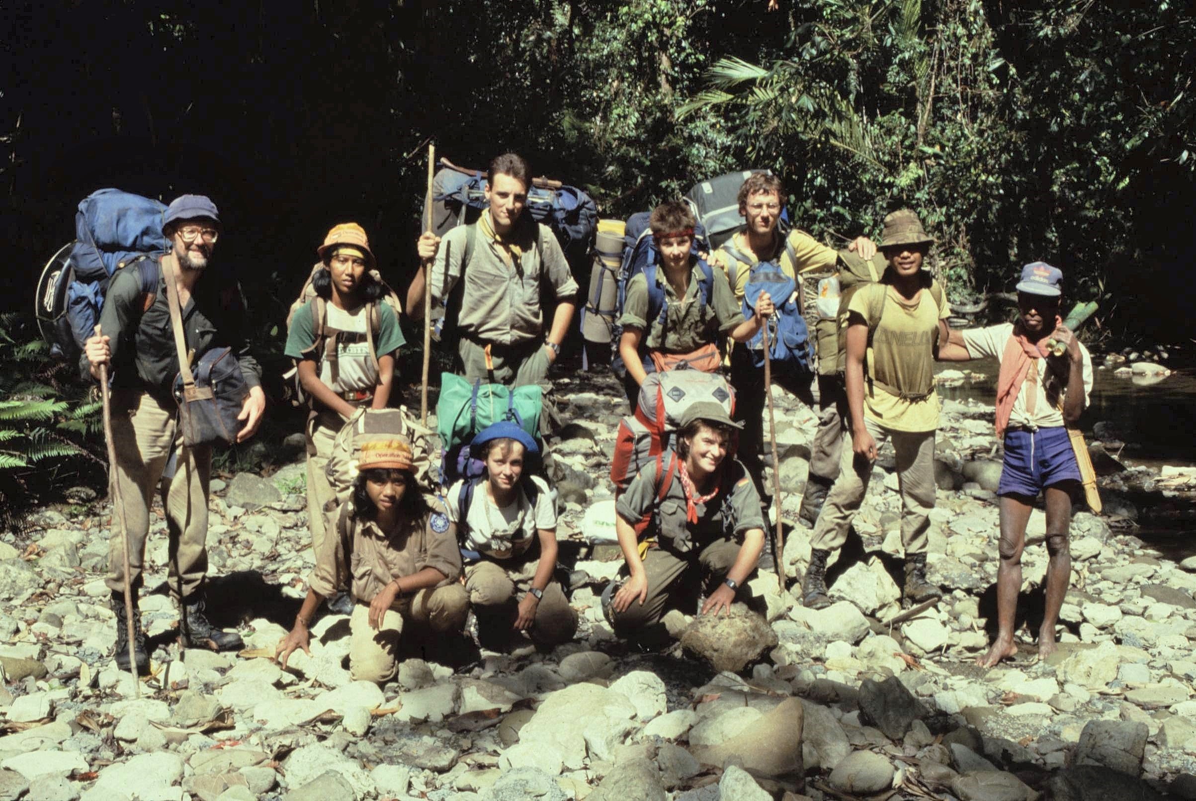
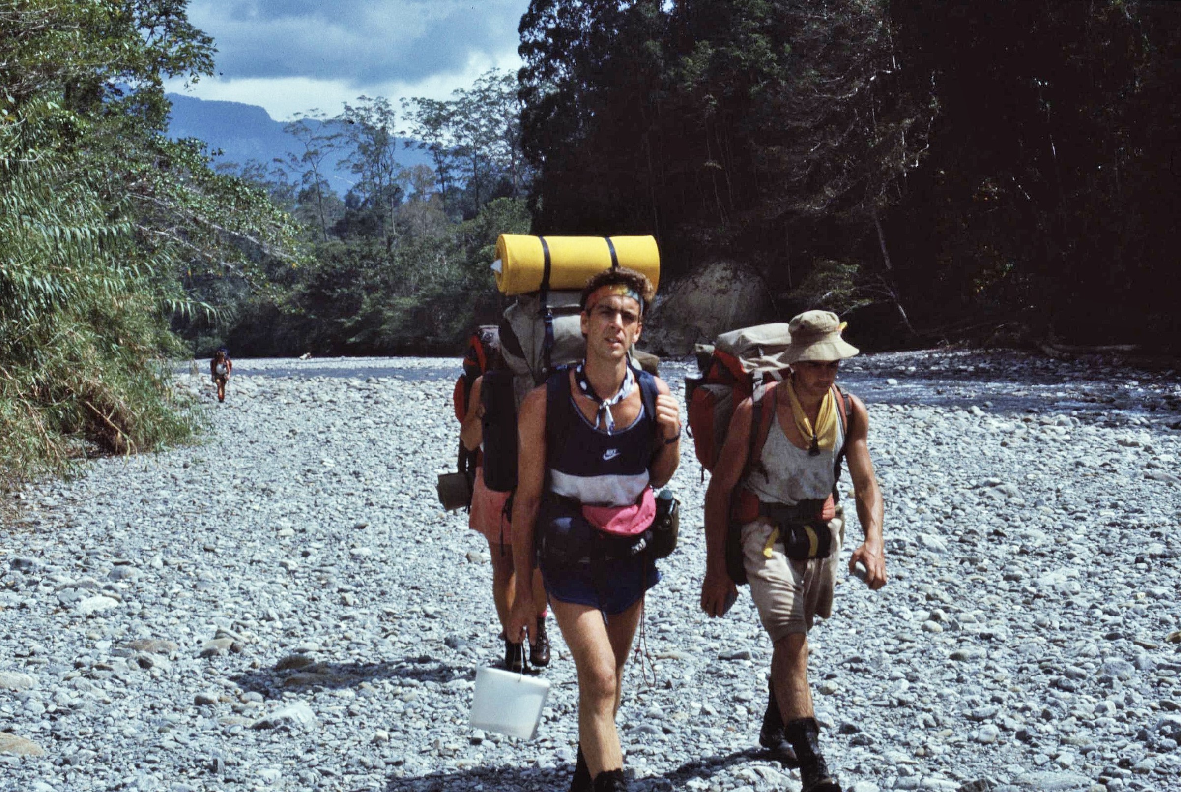
The trek to Kanikeh was a hot and tiring 3 day affair. The route largely followed stony river beds which contained a comparatively low volume of water during the dry season, which made travel easier. I particularly remember the endless deafening shrill of cicadas during the trek, the sound of which were a constant accompaniment to our travels on Seram. Many of the group weren’t particularly fit at this stage in the proceedings and there was a huge amount of equipment to carry which slowed things down. Over the duration of the project though, many of us became considerably leaner and meaner after navigating our way across the rough bounds of Seram.

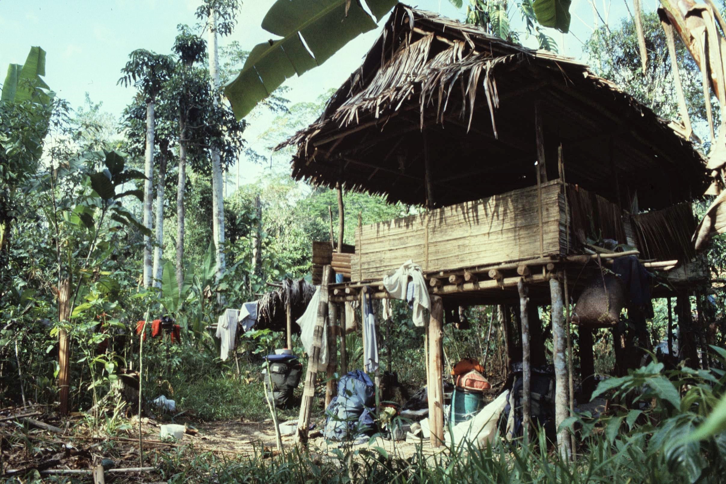
Our first destination, the Kanikeh base camp, was located in a thick bamboo forest not too far from the village of Kanikeh itself. The main building was a very organic structure, based on the design of a local longhouse style with raised sleeping platforms arranged down both sides of a central aisle. It was built by locals entirely out of natural forest products including bamboo and rattan.

It was a marvel to me how the local people could show such ingenuity to produce elaborate structures using on just simple hand tools and locally sourced materials. Clearly there was a lot we could learn from the local people here, rather than vice versa. We did find out, however, that there were limits to the structure’s load bearing capacity. When too many people were inside, the whole thing started to slump downhill at an alarming angle. This usually required a hasty evacuation and some innovative first aid through use of emergency bamboo props to stabilize things.

2021-02-20-19-02-002

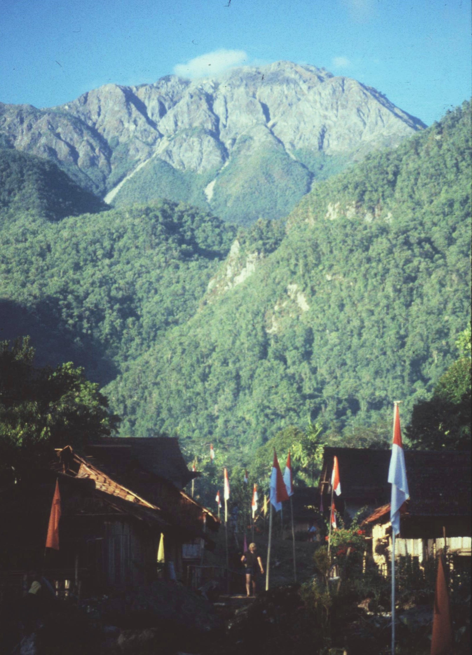
Kanikeh village itself, comprised of a single “street” of simple houses nestling in the valley under the impressive limestone bulk of Mt. Binaiya. As in Wahai, the villagers here also put on a bit of a welcome ceremony for us with some rather fearsome looking tribal dancing involving flashing and thrusting ceremonial parangs and shields. The tribal people here were at one time headhunters, however within living memory they have practiced protestant Christianity, as a result of the influence of Dutch colonialists and traders. The formal welcome ceremony was followed by great late night revelries, singing, feasting and dancing which went on into the wee small hours. Locals clearly rated festivities to be of high priority within their work/life balance.

I remember on another evening, we were surprised to find all our shoes had all disappeared from outside the village house we were occupying, rendering the journey back to the base camp an impossibility. Later it was brought to our attention that the young men of the village had merely “borrowed” these western fashion accessories to impress the local girls down at the community hall “disco”. Anyway the shoes were thankfully all returned in tact the very next morning, just as mysteriously as they had disappeared in the first place – why any girl of taste would have been impressed by my smelly old trainers was quite beyond me however.

Our main purpose for being in Kanikeh and the Enclave area however was to undertake research. The Expedition aimed to undertake diverse scientific studies which mainly focused upon a study of the altitudinal zonation of plant and animal life in Manusela National Park (MNP) from sea level to the summit of Mt Binayia. This aimed to provide a greater understanding of the biological and geological history of the south-east Asian Region in general. It was also intended that the work would help and inform the Manusela National Park management activity development by the Forest Service of the Indonesian Government.

The research projects, which each lasted for 3 months, were led by specialist scientists. Participants meanwhile switched to a new project at the end of each month, so that each venturer was able to experience two different research projects and also had to chance to assist with community projects. Conditions on the individual projects were such that they tested, endurance, initiative, compatibility and leadership skills.

The scientific research was diverse and included studies of epiphytes, forest gaps, orchids, hymenoptera, butterflies, lepidoptera, birds, wild pigs and bioresources – to name but a few. Additionally, community projects in different villages included work on schools, primary health care, bridge construction and agriculture.

At the time of the expedition, I was completing my degree in Geography at Edinburgh University. I was keen to use the expedition as an opportunity for my dissertation. My plan was to focus on forest management with a particular emphasis on the impact of the indigenous people on the natural resources of the Island. For that reason I wanted to get involved in projects, which entailed working alongside the local people.

I was therefore lucky enough to be able participate in the ‘Bioresources’ project and the ‘Wild Pig’ projects, both of which involved an anthropological approach and which brought me into close contact with the indigenous people of Seram. Because of the nature of our work with these projects, we spent a lot of time in a small group away from the main body of the expedition and in worked in a variety of small communities.

During the first phase, I worked with Dr. Janet Bell on the “Bioresources” team. This involved the Investigation and documentation of the human usage of biological resources within the Manusela National Park through discussion with the local people. The aim of this was to undertake research into ethnobotany in selected villages within the Enclave. Our work started in Kinekeh at the end of July, before moving on to the village of Solumena a week later.

In terms of revealing new insights into traditional medicines, our research into natural remedies used in the Enclave villages proved largely unfruitful. This was due to dependence upon western drugs in these areas and a growing disillusionment with traditional herbal cures. In the less westernised community of the Hua Ulu, however, many such remedies were reportedly known and still regularly used. Knowledge of this nature could potentially be of great benefit and could represent an important future resource, both for local people and for use in the pharmaceuticals further afield.

Although the project didn’t yield anything too spectacular from an ethnobotanical point of view, such as a new cure for cancer, it was however very interesting in terms of providing insights into how the local Alifuru population were able to collect forest products such as food, medicines and building materials from their forest gardens, or swiddens, as they are known.

2021-02-20-19-08-002

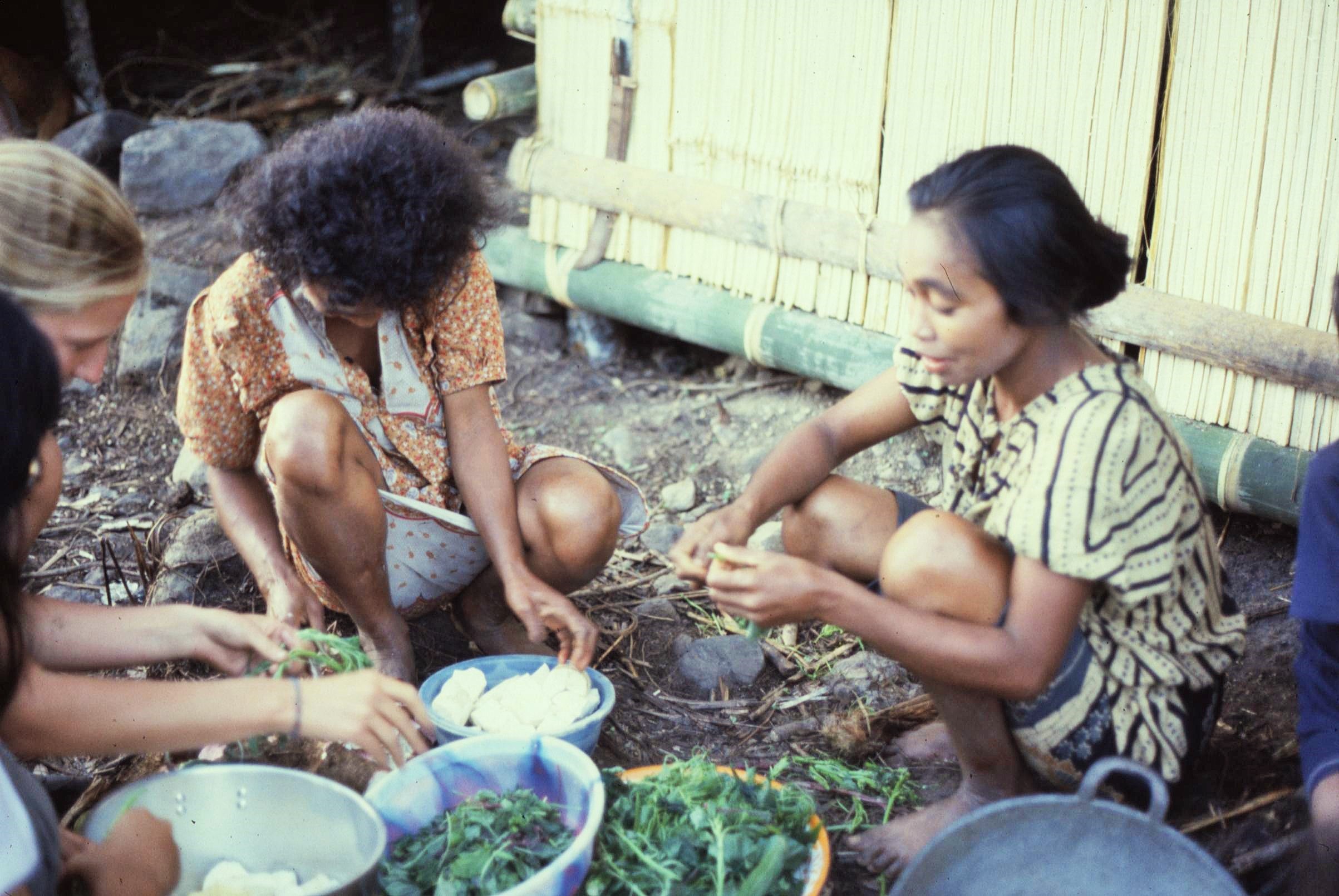
The Alifuru obtained most of their resources from swiddens located within a 4km radius of the villages. The swiddens were cut mainly from previously cleared areas of forest which were often located along the river valley near the settlements. The villages planted a variety of types of food plants including sago palm, bananas, cassava, patatas, keladi and sugarcane.

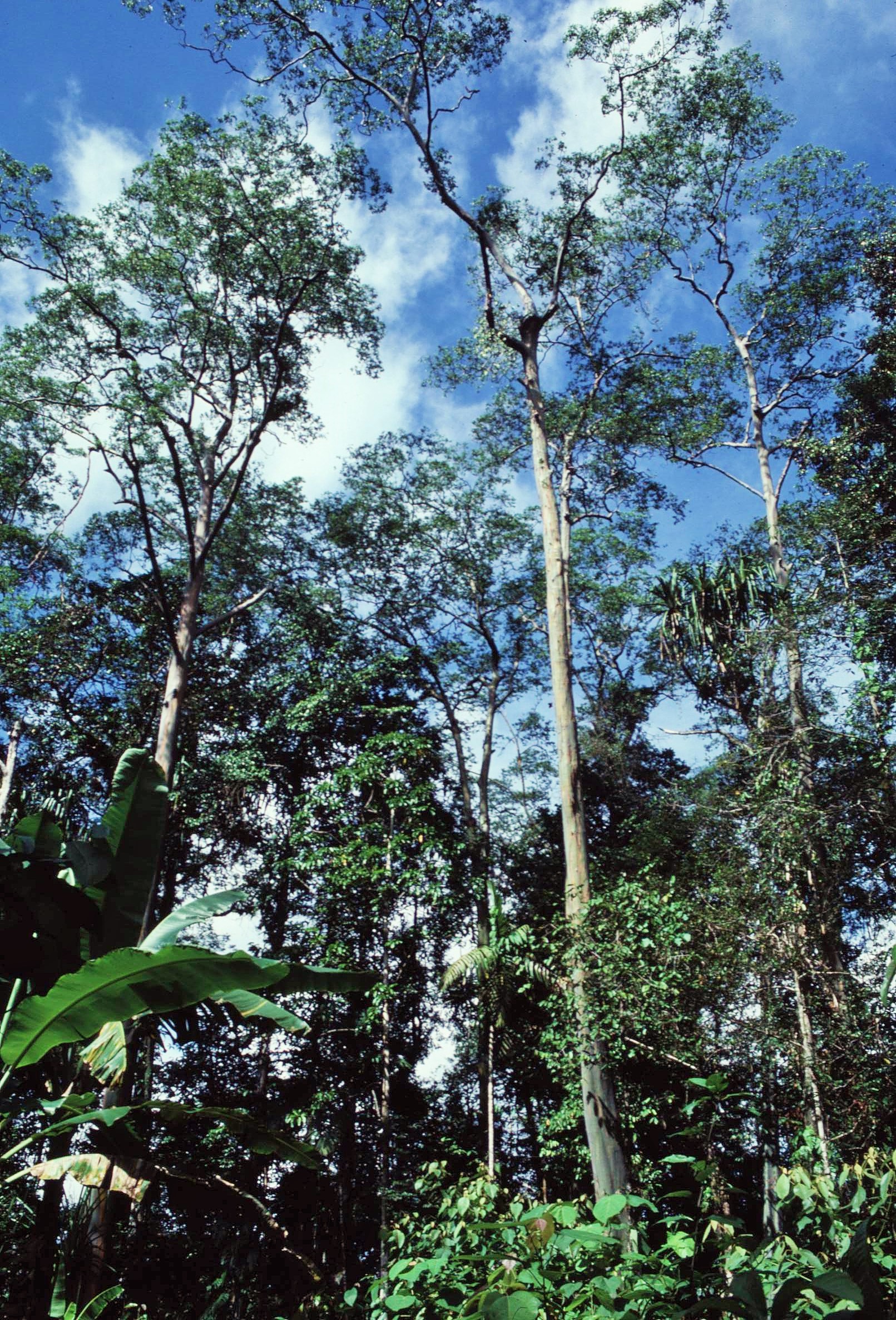
The use of larger plants such as sago and bananas helped to reduce the impact of heavy rainfall and protected the soil and smaller plants, thereby mimicking the canopy layers and structure of the natural rainforest itself. The forest gardens were rotated and left fallow for over a year at a time to allow the soil nutrients to be fully restored, before again being cultivated for food crops.

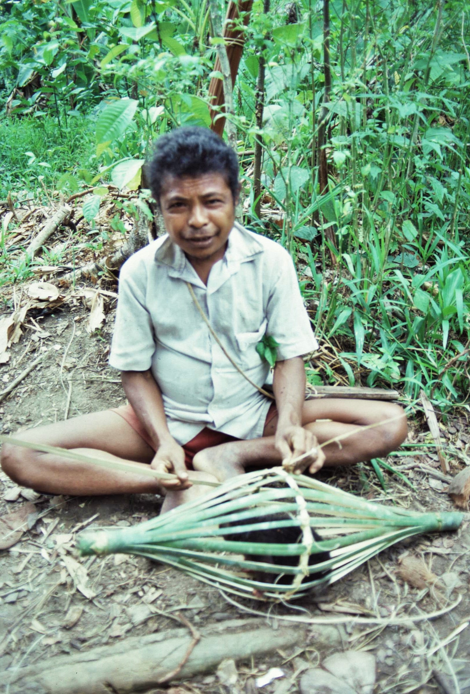
The people of Central Seram also gathered most of their timber and non food products from the forest gardens. These included materials for basketry and building materials such as bamboo and sago palm. These quickly regenerated again after cutting. Some other products which were gathered from the forest itself included kamane resin from the agathis tree for fire lighting, bark for bow strings, a range of herbs, climbers and roots for the manufacture of dyes and poisons. These gathering activities had little significant impact upon the forest however because of the small scale they were conducted upon.

The use of larger timbers was only confined to the main supporting structures of buildings. Sago leaves and leaf stocks were used for roofing and wall panels and bamboo was used for flooring and for roof support. The houses themselves lasted for about ten years and usually the main timbers were then reused for the next construction project to reduce labour.

When new timbers were required they were taken from areas of depleted forest immediately adjacent to the forest gardens. These were coppiced in a controlled way to protect the swiddens from erosion and to allow rapid regeneration. Traditionally, a long bladed parang, a type of machete, and a felling axe would be used to cut a large tree, which would take about a day’s work.  The timber would then be moved by hand to the place of use, or sometimes dragged or floated.

Timber extraction and the creation of forest gardens had a low impact overall, as any activity was limited by the traditional technology available, the rough nature of the terrain and the declining population of the villages in Central Seram. In the meantime, however, the coastal areas were becoming more deforested as a result of increasing demand for timber for dug-out canoes and boat building materials for transport and fishing purposes.

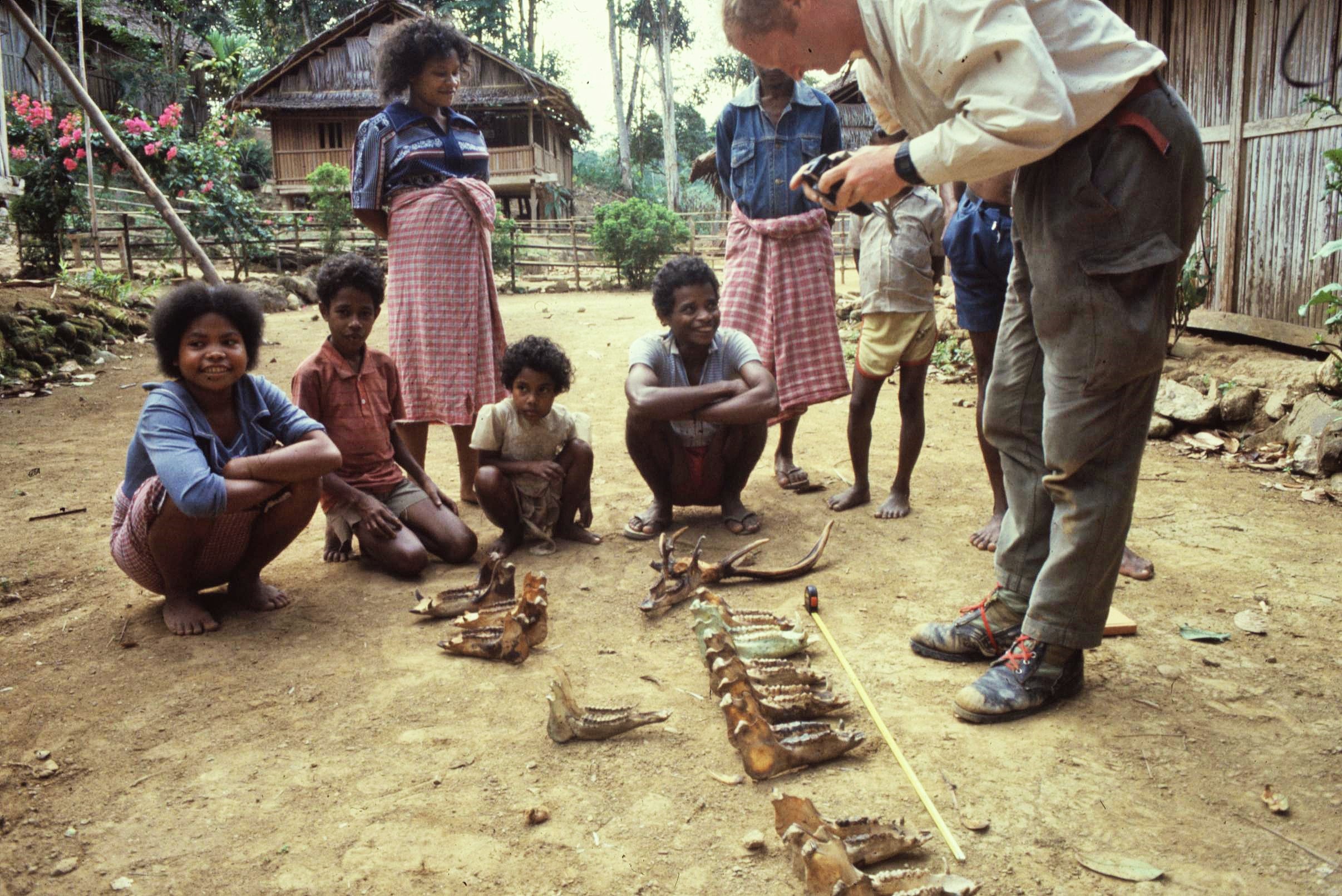
After assisting the Bioresources group, I then moved on to work with Dr. Alastair Macdonald of Edinburgh University and Rodger Cox studying the indigenous utilisation of local wildlife for local subsistence needs. This included local hunting and fishing activities. The “wild pig” project involved detailed investigation and documentation of the human usage of the National Park’s pigs, including taking anatomical samples for genetic analysis. It also involved finding out about pig hunts through interviewing local people and through the analysis of jaw bones of pigs retained by villagers from previous hunting activities in the Manusela National Park Enclave.

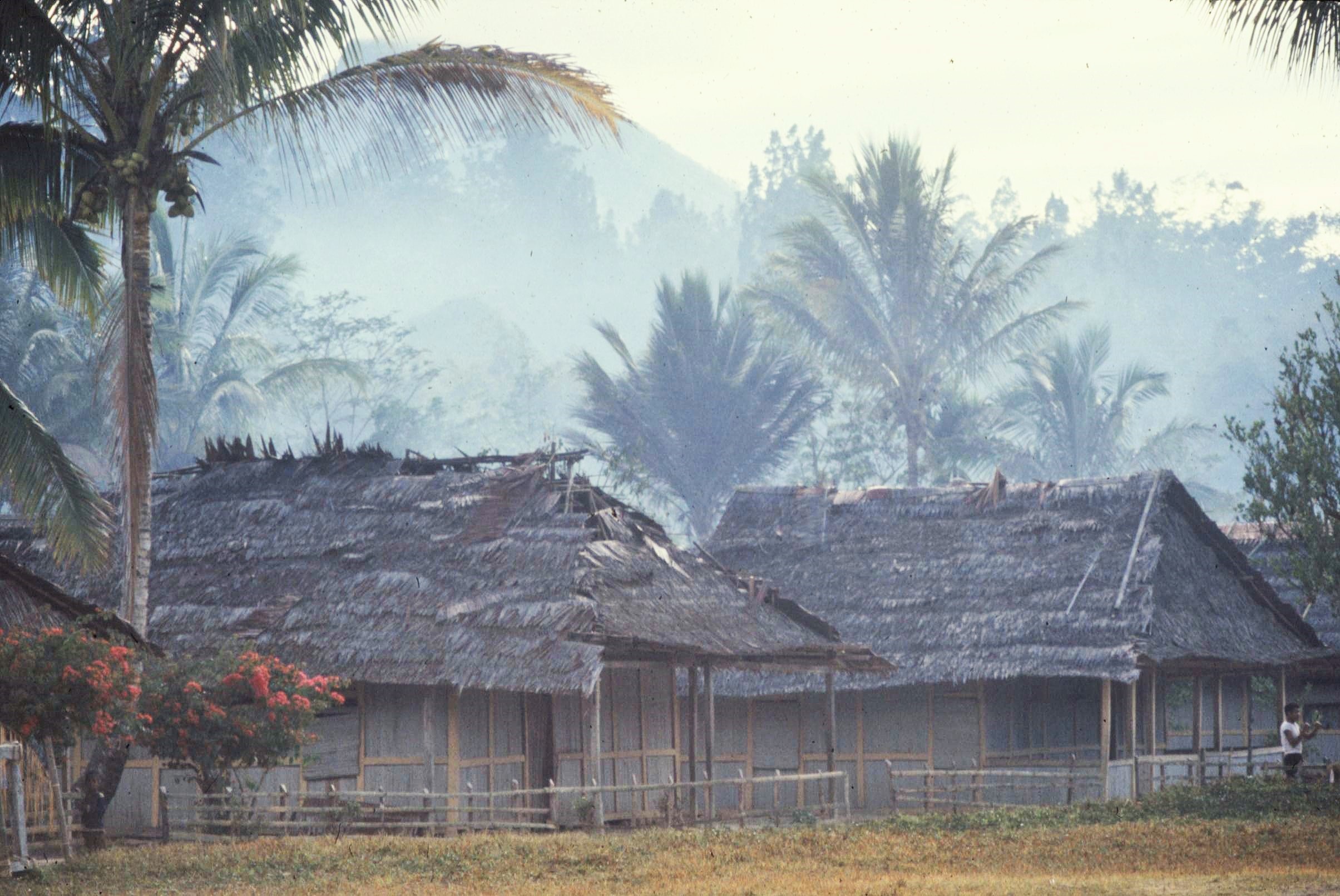
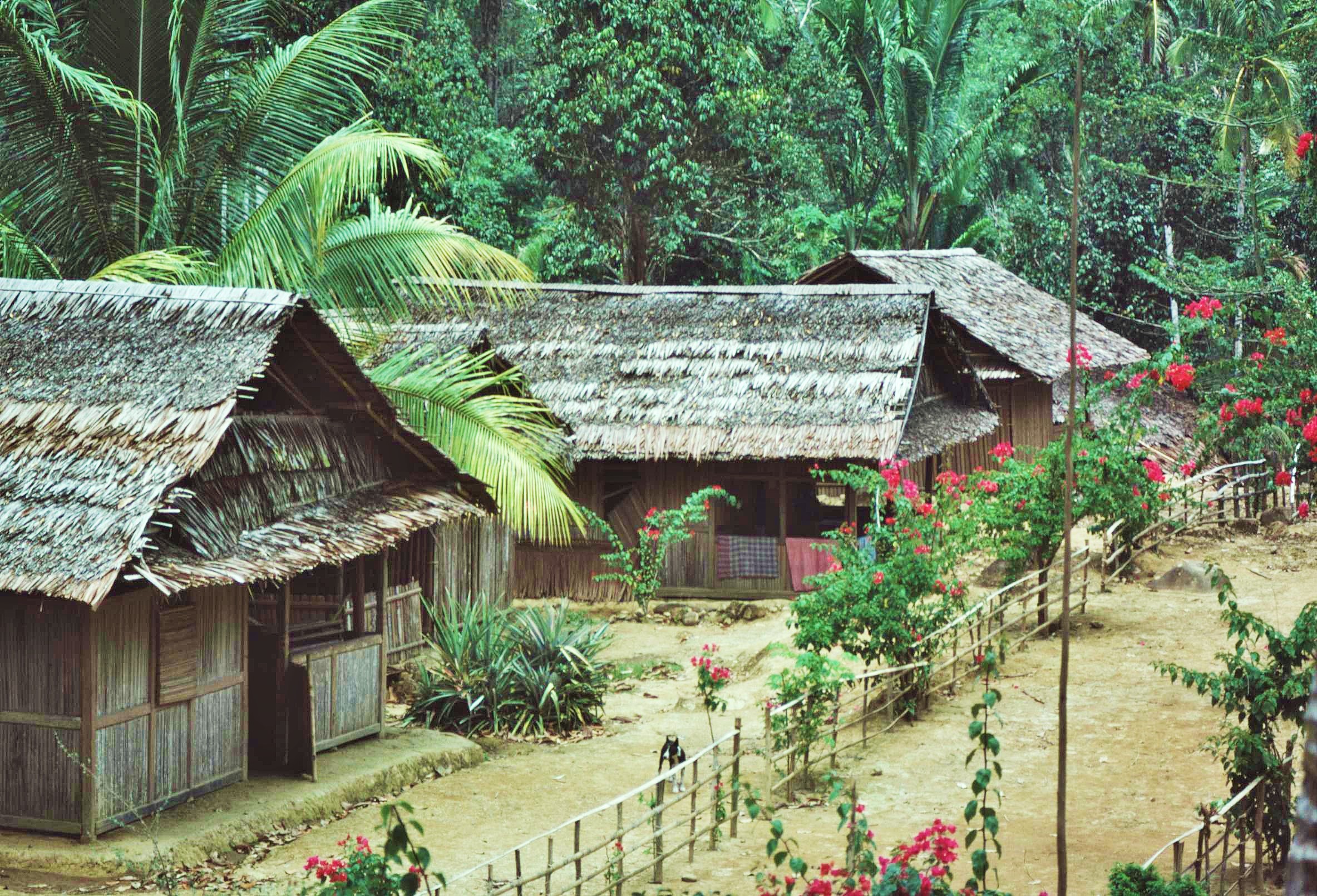
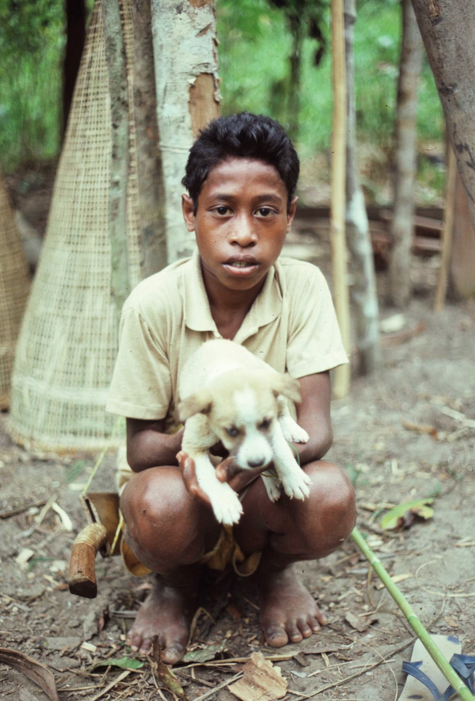
The ‘Pig’ project in particular was a somewhat maverick crew and we spent a lot of time on the remoter Eastern fringes of the park in the area of Manusela, Elimata and Calloa, where we spent a few days in each location. We worked amongst beautiful palm thatched villages tucked away deep inside the rainforest and enjoyed living with the forest people. They took us hunting, fishing and showed us the remarkable diversity of their forest gardens, which produced much of their food, including the not so palatable sago palm.

There were naturally many difficulties encountered during fieldwork, the most difficult of these was the language issue. All the interviews with local people had to be conducted in Indonesian through local interpreters. Fortunately there was a strong Indonesian contingent on the expedition who could also speak excellent English. This greatly improved matters, although there were still problems of communication between Bahasa Indonesia and the local Seram languages.

There were also problems encountered initially with gaining the trust of local people. At first we were the source of some suspicion, particularly when we started asking the local people about their hunting activities. The problem was further complicated by the fact that rumours had spread that we were somehow there for “big game hunting” rather than to undertake anthropological and natural resources research.

2021-02-20-19-05-002

Hunting and gathering activity by local people were characterised by a diverse range of prey species and techniques which effectively maximised the efficiency of the hunters. Activities were controlled by the environmental constraints and the seasonal abundance of game and so hunters avoided high levels of specialisation. Seasonal migration of the larger game animals was an important factor in affecting the type of hunting or gathering activity being practiced. During the dry season when game stocks were at their lowest in northern Seram, emphasis was placed more upon fishing and the hunting of smaller species such as monitor lizards and a small marsupial called the cusscuss. Catching the latter involved the need for good tree climbing skills.

Larger game animals hunted included two species of wild pigs, deer and the cassowary, a large flightless bird. These were hunted in the forest on excursions of up to 4 days in duration, with such trips generally being made to areas of primary forest within 10km of the village. The hunt was usually conducted by groups of one or two men who used up to seven dogs.  The dogs are kept hungry and given stimulants such as kaikena, halia and betel nut to improve their hunting performance. These were also though to have magical properties and were administered through simple rituals. Generally the hunter did not preselect particular species to hunt but instead just hunted what he could find.

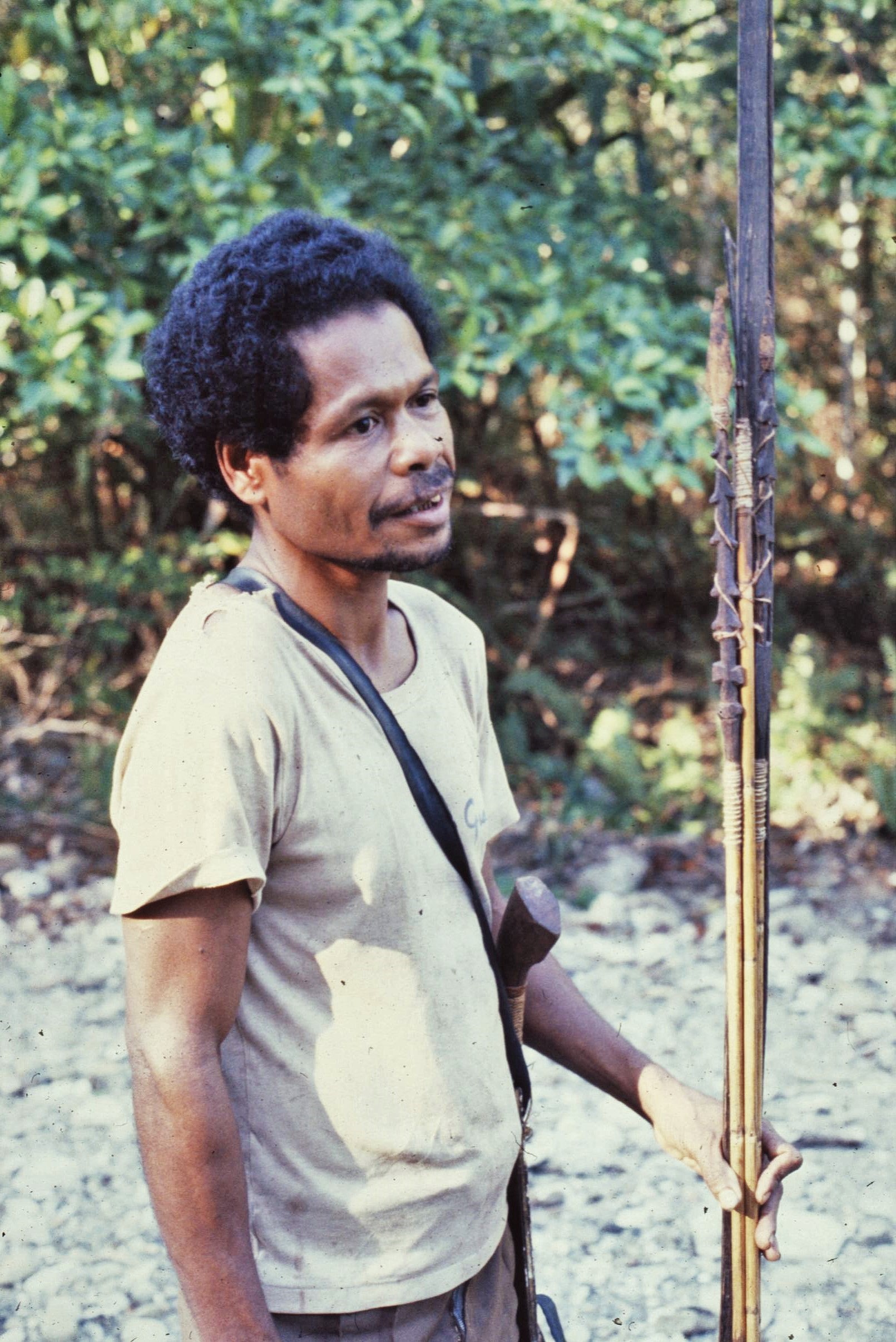
Most villages also used snares and spring traps, in addition to hunting with dogs. In the latter, an arrow was shot into the prey after activation of a trip wire. These were obviously dangerous for those unfamiliar with the terrain of Central Seram, however, for the duration of our visit the traps were deactivated. The hunters made their own weapons including bows, spears and arrows by hand using the local forest resources. The hunting bows were made from hardwood and the string was made from bark which had to be replaced each year. Because of their substantial size, they were only effective as a close range weapon.

Arrows and spears were made from bamboo and had detachable heads. The simple nature of the technology and low population density did not permit excessive overhunting to take place and locals hunted purely for their own domestic needs rather than for any kind of “sport”. In times of difficulty, the head man of each village, or “Bapa Raja”, possessed the right to ban the hunting of certain species, although the locals told us that this situation had not occurred within living memory.

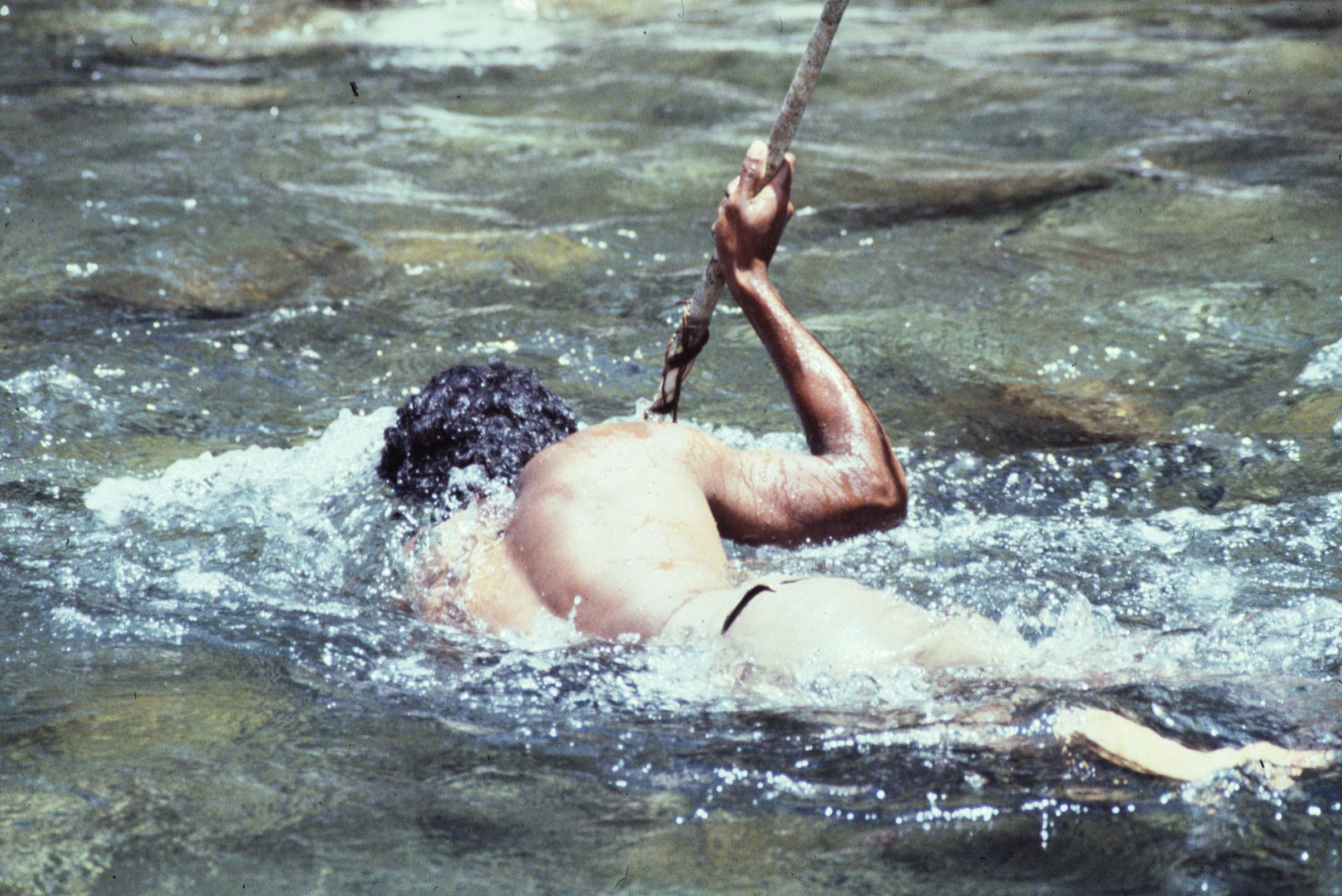
The locals in the Enclave were also expert fisherman. They produced goggles to allow underwater vision using small pieces of glass retrieved from old bottles, which were then sealed into place using tree resin. The fish were then speared under the water using hand made harpoons with detachable heads. The fishermen had to be extremely patient to guarantee a good catch, however, they also had a very good understanding of the morphology of the rivers and the most promising spot to locate themselves where fish were likely to be found.

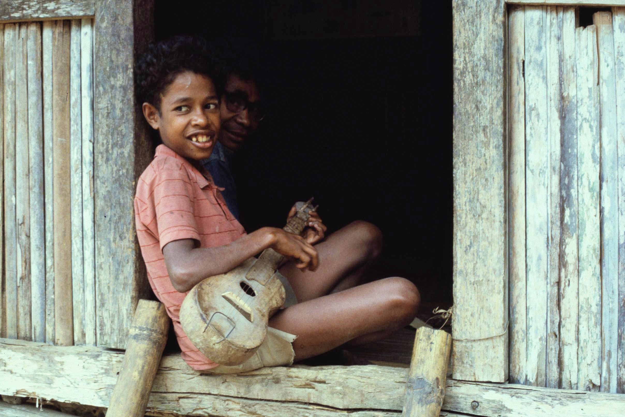
Conducting the fieldwork was also really pleasant in general. It certainly wasn’t all hard work; we also had time to swim in forest rivers and to study the wonders of the rainforest all around us. Many evenings were spent listening to villagers strumming hand made guitars, singing and telling stories around the fireside until the early hours of the morning.

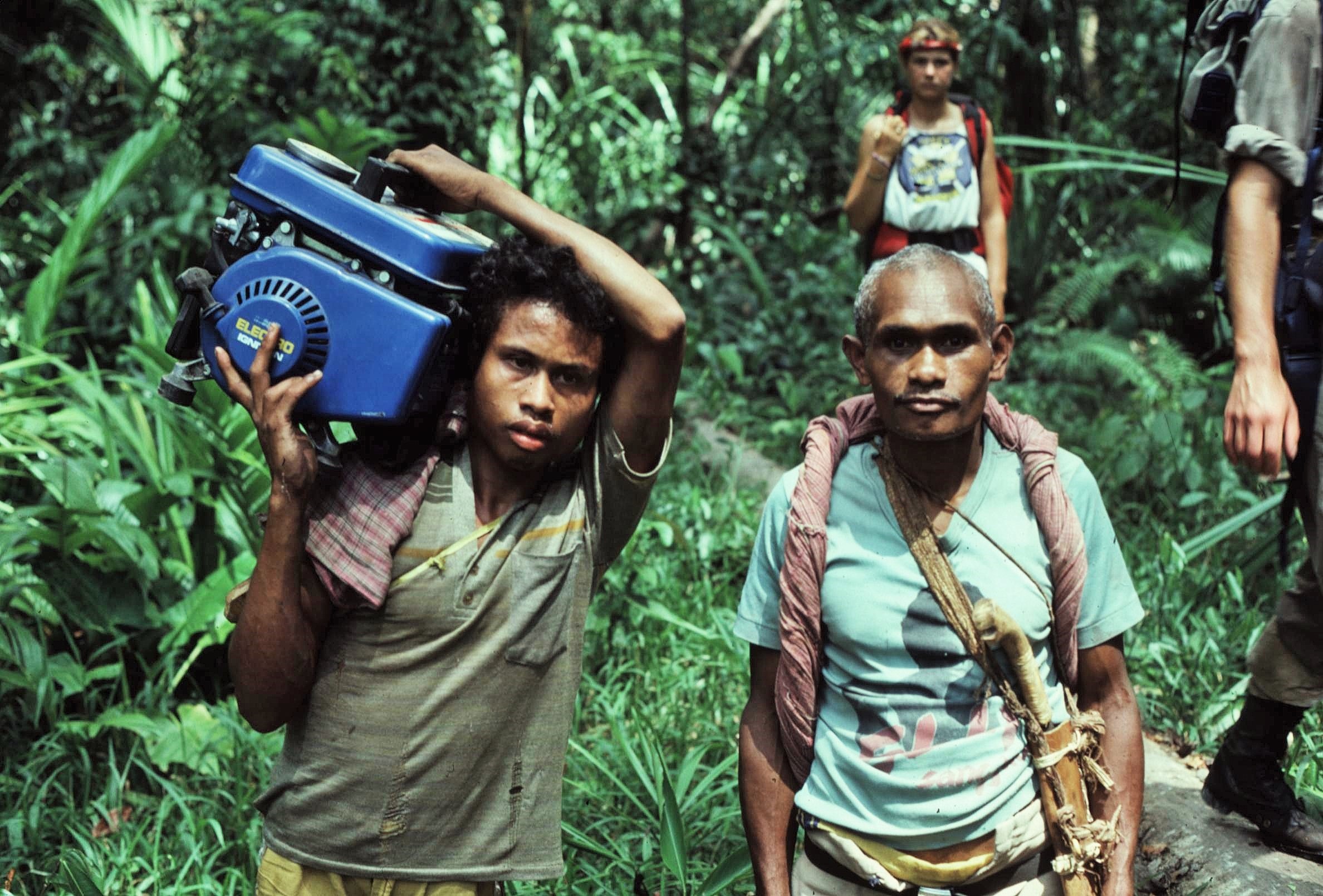
During our time spent with the project we certainly became aware of some changes occurring in the forest communities of the Enclave. Exposure to Western consumer goods on the island was creating increased demand for items such as radios, music players, generators and even televisions. Practical items such as tilly lamps, torches and chainsaws were also highly prized by local people.

Traditionally, the little money that was needed within the community was made from the sale of spices such as nutmeg or cloves. The income from these was small but was sufficient to buy practical metal goods such as parangs, arrowheads and axes. Any excess money was then used for purchase of prestige items such as Ming china plates which were an important status symbol and which were handed down through the generations.

Apart from spices, the villagers of the interior lacked diverse exchangeable commodities for trading purposes. The trading of perishable goods and game meat was generally prevented by the distance and poor communications to markets on the coast. The simple foodstuffs of the Alifuru people were also not in great demand as export commodities for the outside world.

The situation had begun to change significantly in the years prior to our visit, however, through the sale of exotic birds such as salmon crested cockatoos and purple naped lorikeets. The trading of these species had been practiced since the colonial era, but only on a very small scale. However, international markets for rare species had grown significantly and agents had established themselves in coastal settlements.

Birds were caught using multiple snares of nylon line which hooked around their claws, thus preventing them from flying. The snares were left in a strategic position and near to bait such as a fruit bearing tree. Sometimes a live female bird was used to lure males of the same species.

Captured birds were traded through networks of international dealers, with a doubling of the trade occurring over just the first few years of the 1980s. Much of the growth of this trade was accounted for by parrots from the Moluccas Islands including Seram. Although the Manusela National Park had set agreed targets for the number of birds that could be caught, these did not appear to be enforced to any extent, putting the bird species under threat.

2021-02-20-19-11-002

2021-02-20-19-05-003

The impact of the bird trade was small scale however compared to changes to the rainforest habitat that we witnessed shortly after. One of my lasting memories was entering a village after several weeks spent in the cool of the forest to be confronted by bulldozers and logging trucks of a multinational timber company. All around were the sounds of chainsaws and heavy machinery and the air was filled with choking red dust. It was entirely by accident that we stumbled upon the logging activity by the village of Calloa.

I remember some rather disturbing scenes, as a group of local forest people, on their way to trade a captured cockatoo to coastal merchants, stood dejectedly by the dusty track surrounded by the bulldozers and the infrastructure of industrial logging. Seemingly a clash of worlds – both with completely different value systems and technologies.

From Colloa we continued on our journey down to the coastal village of Passahari, through areas of rainforest heavily affected by logging activity. Despite the apparent scenes of destruction there was much to learn and many adventures still lay ahead of us on the Island of Seram.

The story continues in: “Seram: In the Indonesian Rainforest – Part 2.”

A note on photos: Anyone with an interest in the expedition is welcome to download or copy photos made by myself for personal, educational or non-commercial purposes. Please credit any photos to myself if reproduced in any format (this does not include photos by any external parties, as indicated). Please contact me if you wish to use any images commercially.

Posted in History & Culture, Trees & Greenspaces, Wild Places, World | Tagged , , , , , , , , , , , , , , , , , , , , , , , , , , , , , , , , , , , , , , , , , , , , , , , , , , , , , , , , | Leave a comment

Restless Natives

We’re all a product of the time and place we come from. Looking back, I think I was lucky to have the freedom to get out and about exploring wild places around Scotland from a comparatively young age. At the time though I think it was something that I just took very much for granted.

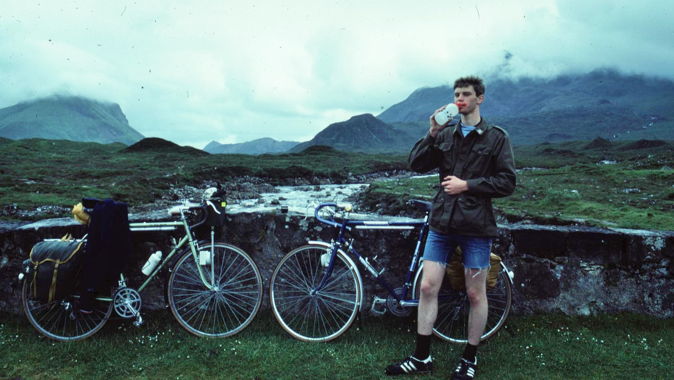
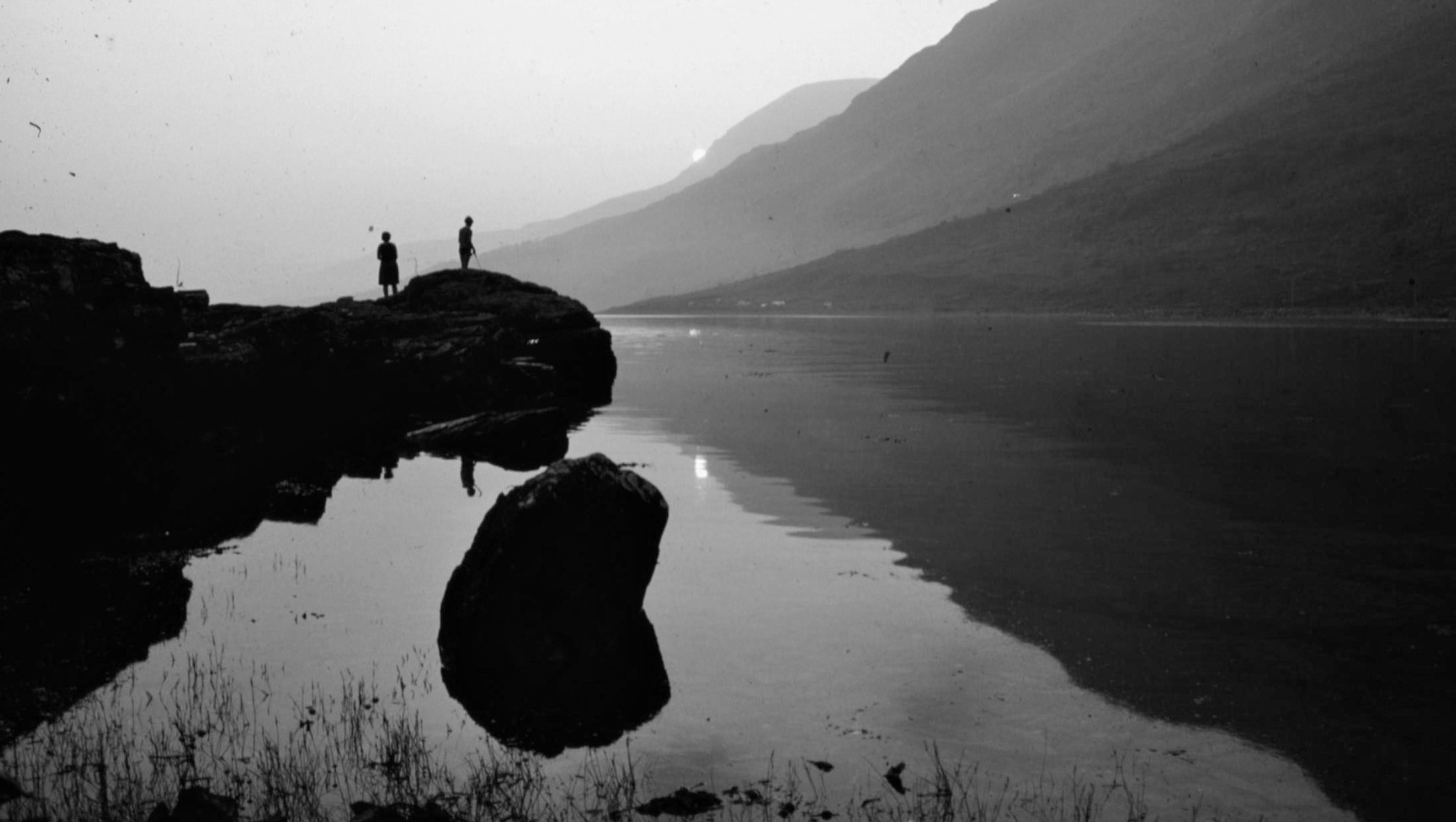
What started off as small trips such as hiking or orienteering around local hills and forests of Loch Lomand and the Trossachs area soon led to bigger adventures and to places further afield. My Dad was also a member of a local rambling club and used to take us hillwalking, although we probably moaned about it a lot at the time.

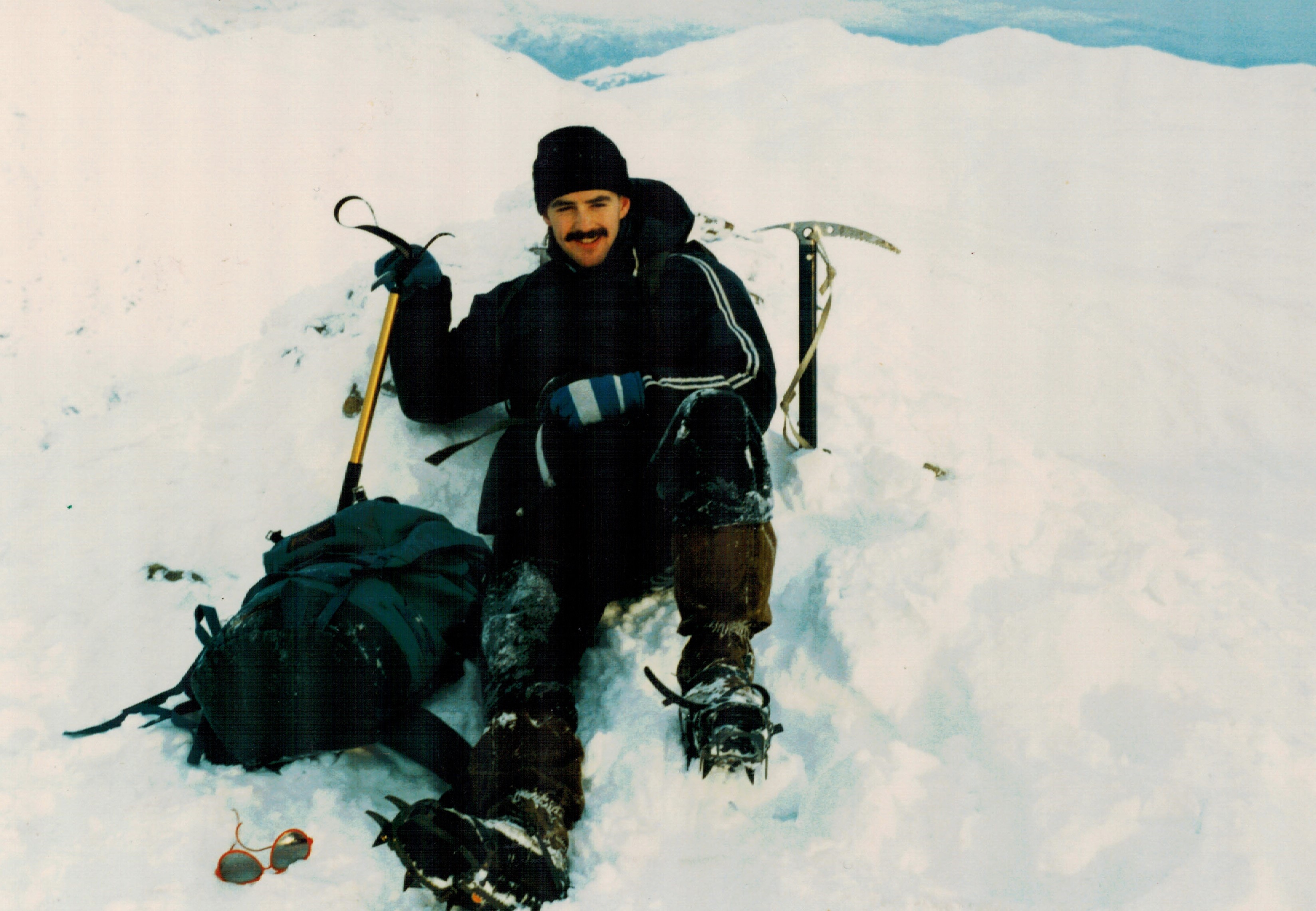
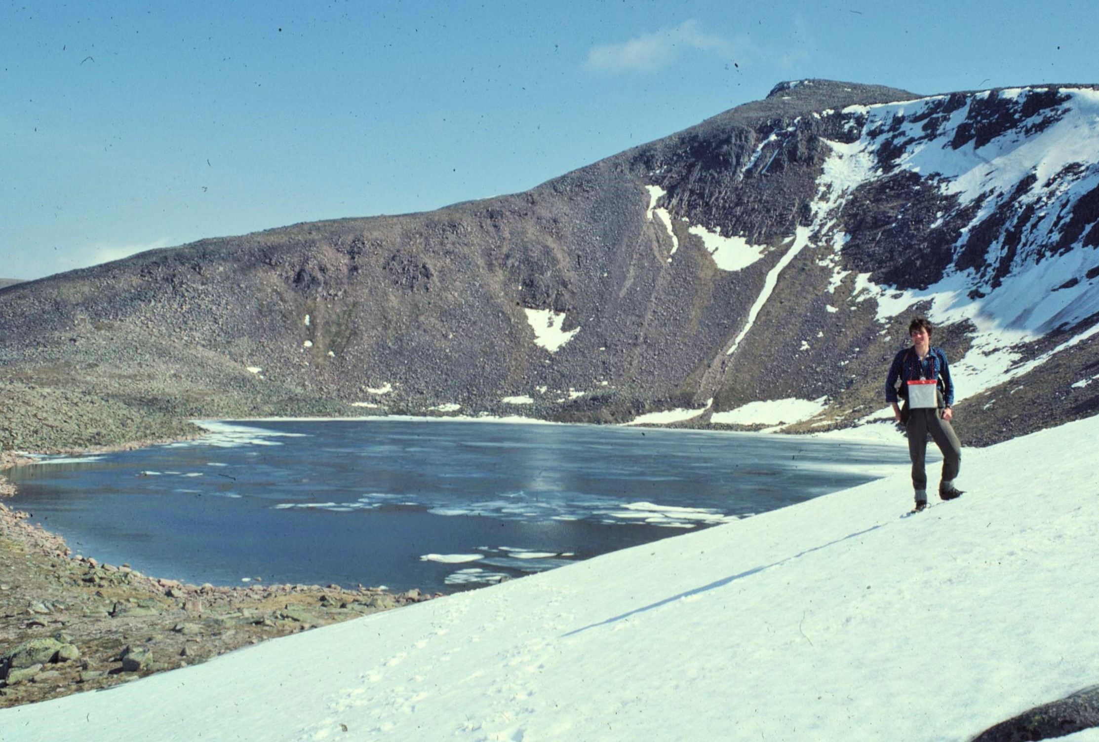
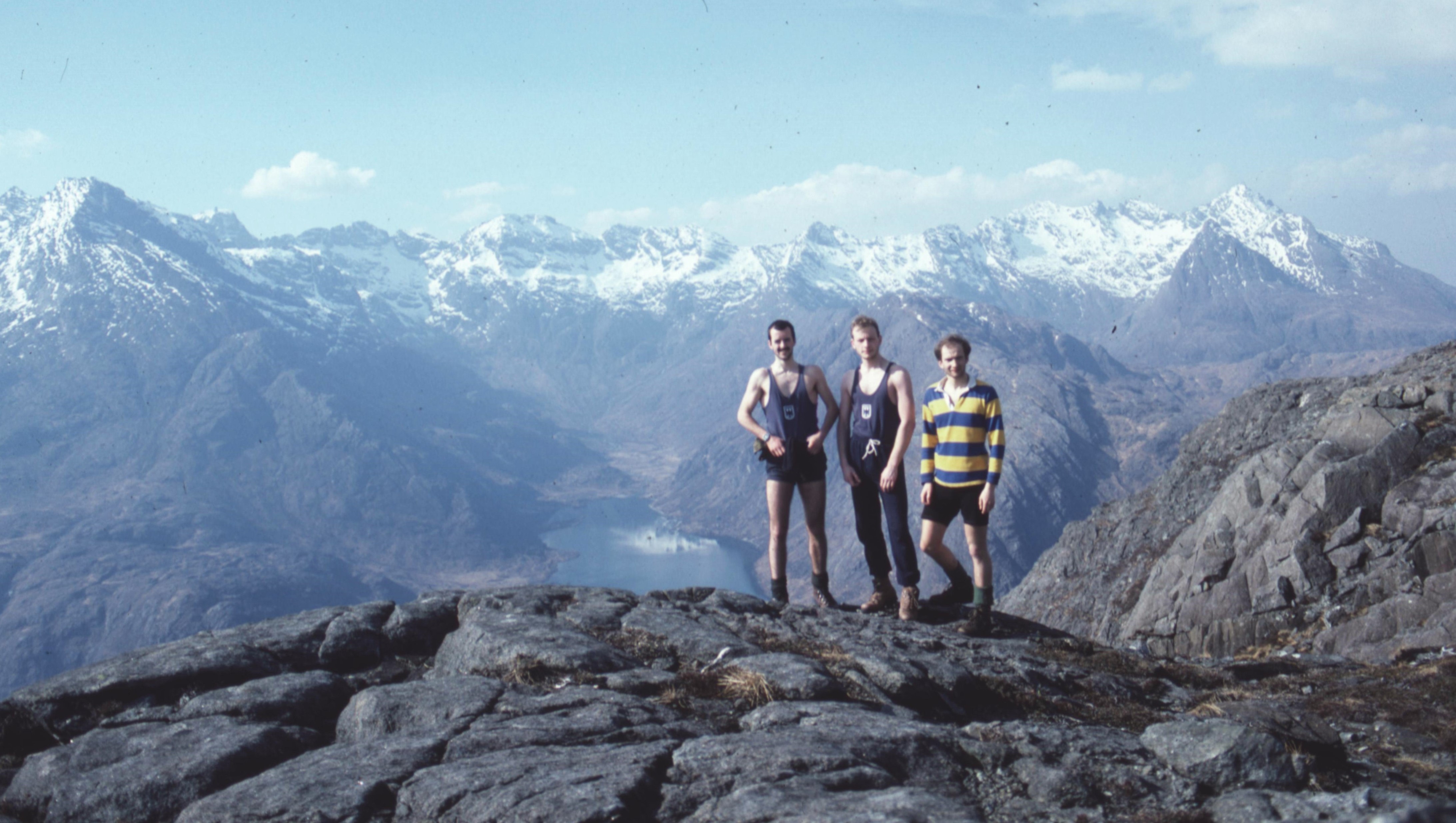
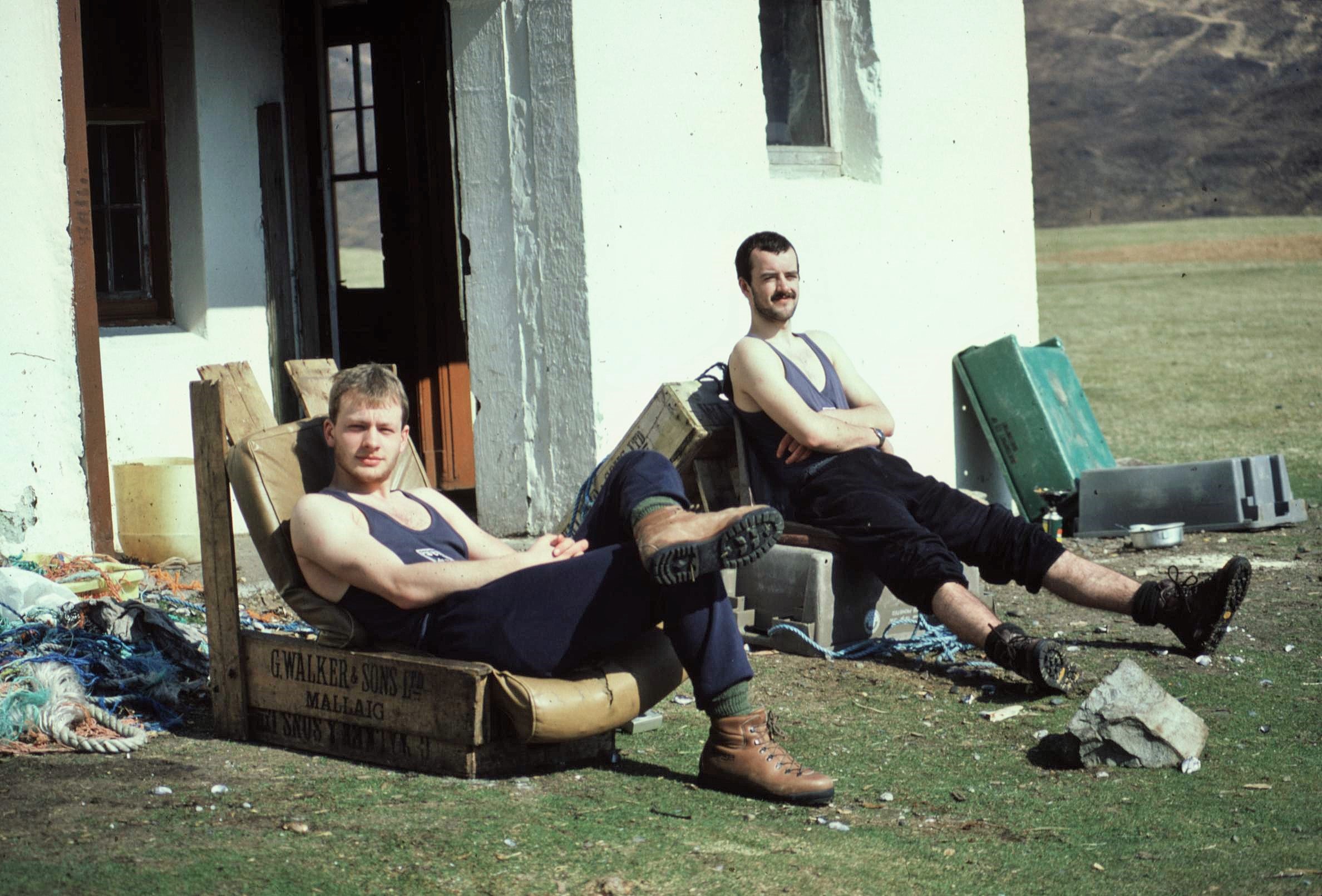
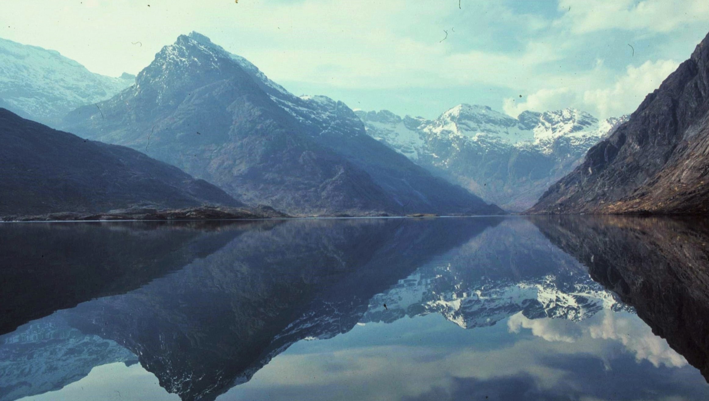
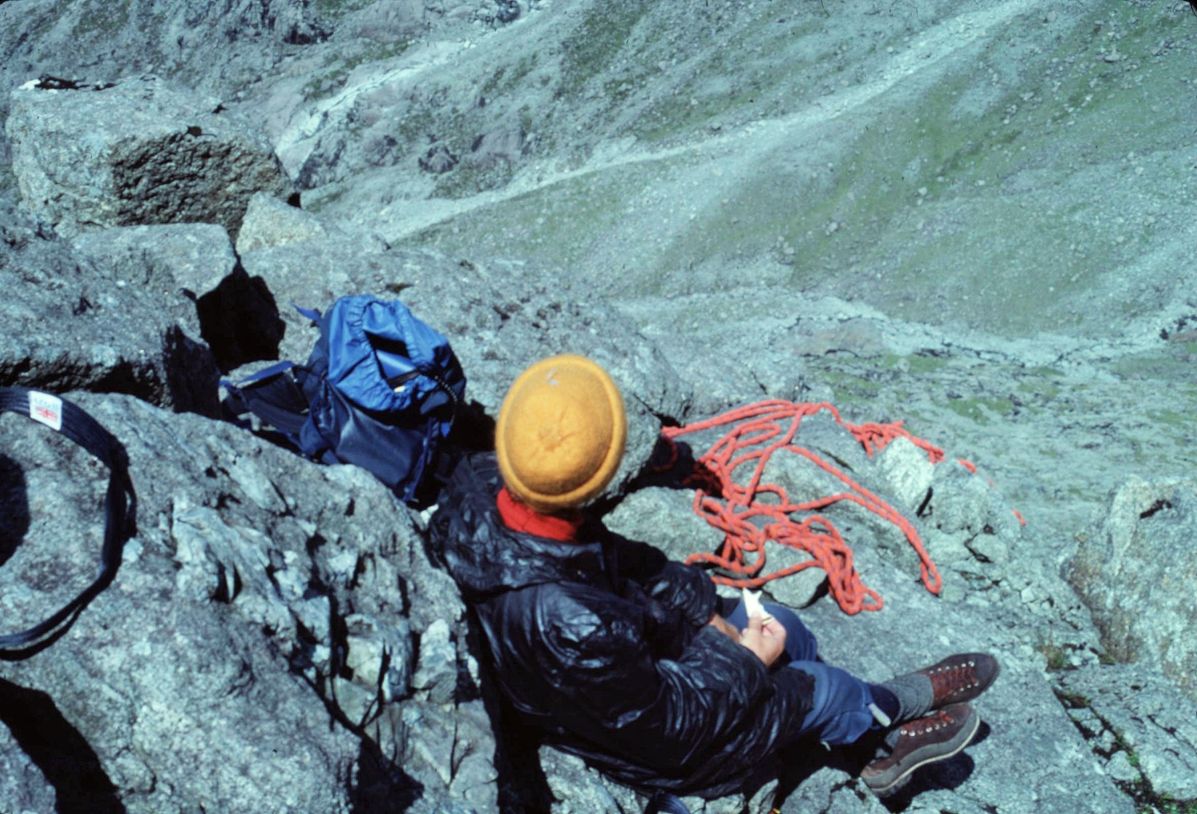
However I’m sure it was some of these early trips that gave me confidence to tackle more ambitious things later on. I was also lucky enough to have quite a few adventurous school friends who joined me on various jaunts around the Highlands, whether that involved hiking, camping, youth hostelling or scrambling up the “Arrochar Alps”, the Aonach Eagach ridge in Glencoe or the Cuillins of Skye.

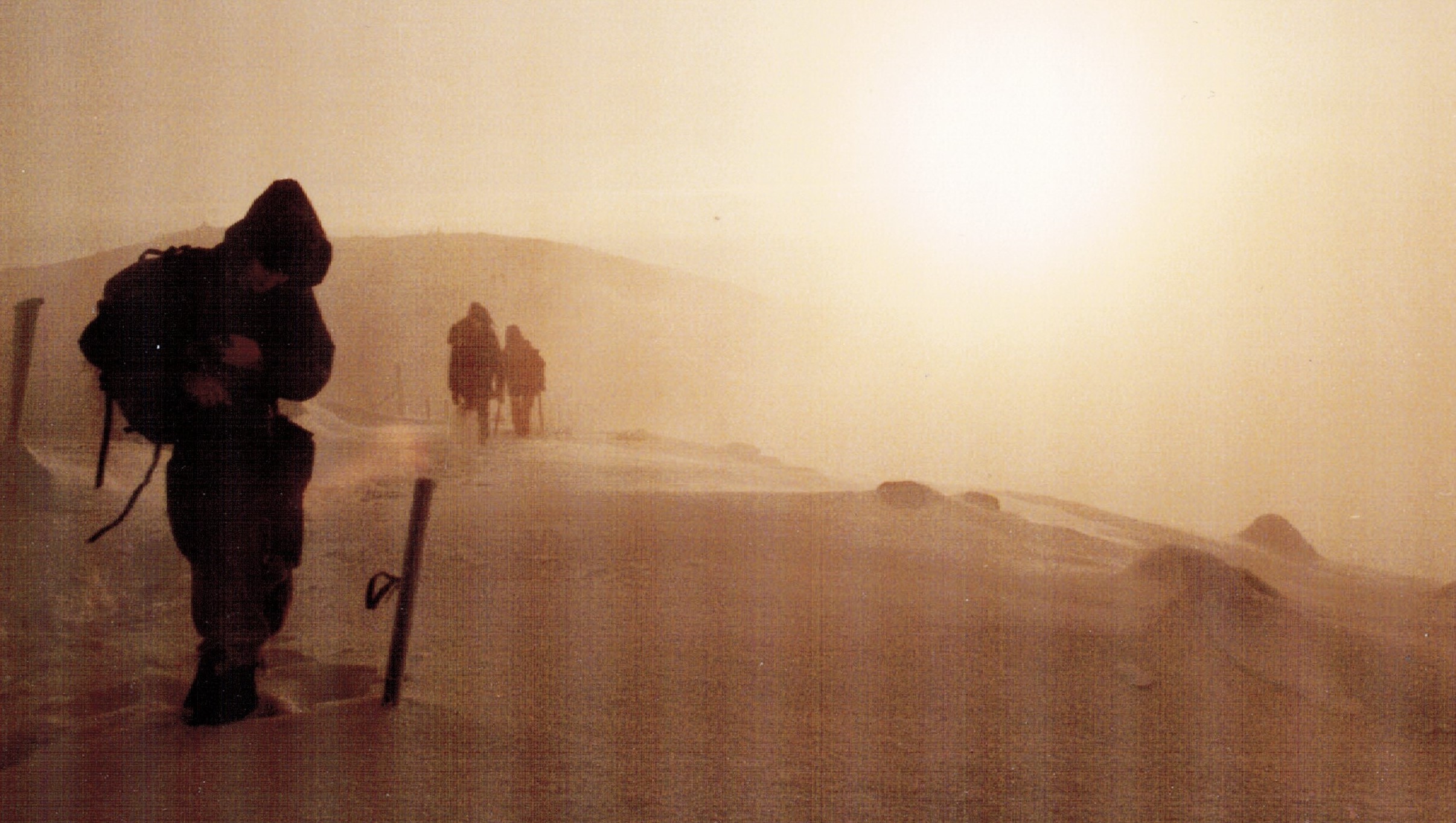
In the Scottish hills there was limitless potential for challenging wee adventures that weren’t too far from home – by contrast to get to “proper” mountains today, from where I live, is a full day’s drive. Many of these excursions weren’t always plain sailing either. I remember a few bad experiences too, like suffering from hypothermia trying to walk to Knoydart from Glen Shiel in the pissing rain one Easter, or wondering just why the hell I was trying to climb the Pinnacle Ridge of Sgurr nan Gillean on Skye and why some people might have found it fun to do so. However, “what doesn’t kill you, makes you stronger”, as the old mantra goes.

Trrips2 (2)

Trrips (2)

TrripsTrrips2 (3)

Trrips3 (4)

Trrips2 (4)

May be an image of 1 person and body of water

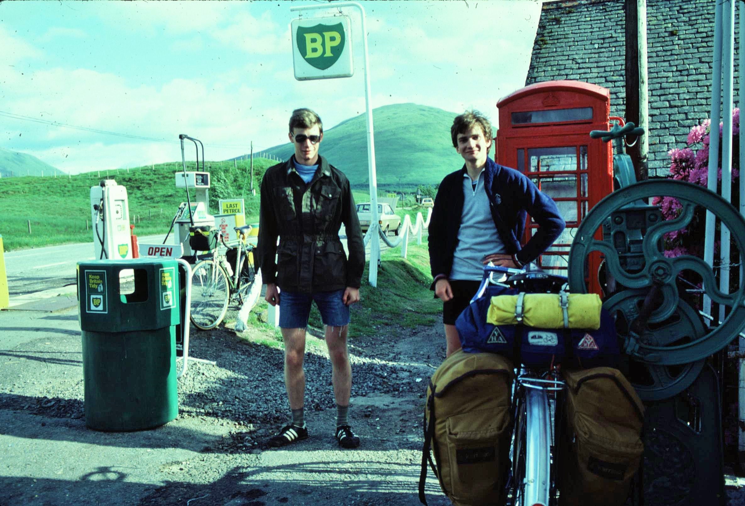
We also explored Scotland a lot by bike, taking some longer trips around places like Skye, the Outer Hebrides, the North West Highlands, the Cairngorms and the Borders. In addition to the obvious natural hazards, such as man eating hoards of midges, sometimes these were more “human” challenges involving interesting encounters with colourful local characters.

One time, for example, we met a drunken crofter on the Isle of Harris who wanted us to pick his daisies which he claimed we’d squashed by cycling onto his grass, despite the fact we hadn’t been anywhere near. He then proceeded to rant on to his aged Granny in Gaelic about fighting in the Falklands (the Granny told us he hadn’t) and then performed some rather questionable Adolf Hitler impersonations for the benefit of an Austrian guy who had joined us for a supposedly relaxing day trip.

On another occasion an aspiring, affluent “Glasgae” hooligan (with a face like a melted welly) in a Jaguar , ran a pal of mine off the road, before then stopping the car, getting out and physically hauling the poor, bemused wee soul off his bike – the vague pretext being that my pal had apparently “gae’d him the fu*kn’ fungers”. To the obvious amusement of his equally Neanderthal family, watching from the luxurious comfort of their parked Jag, the irate gentleman in question determined to make amends for the alleged slur of epic proportions. Anyway, again, as the old mantra goes; “what doesn’t kill you, makes you stronger”… we lived to fight another day.

So what with the vagaries of the Scottish climate, terrain and some colourful local personalities, exploring Scotland at that time was really a character building experience indeed. Young people today in their digital world simply don’t know what they’re missing. Don’t get me started now…

Posted in In Scotland, Mountain Treks, Wild Places | Tagged , , , , , , , , , , , , , , , , , | Leave a comment

Snow Days

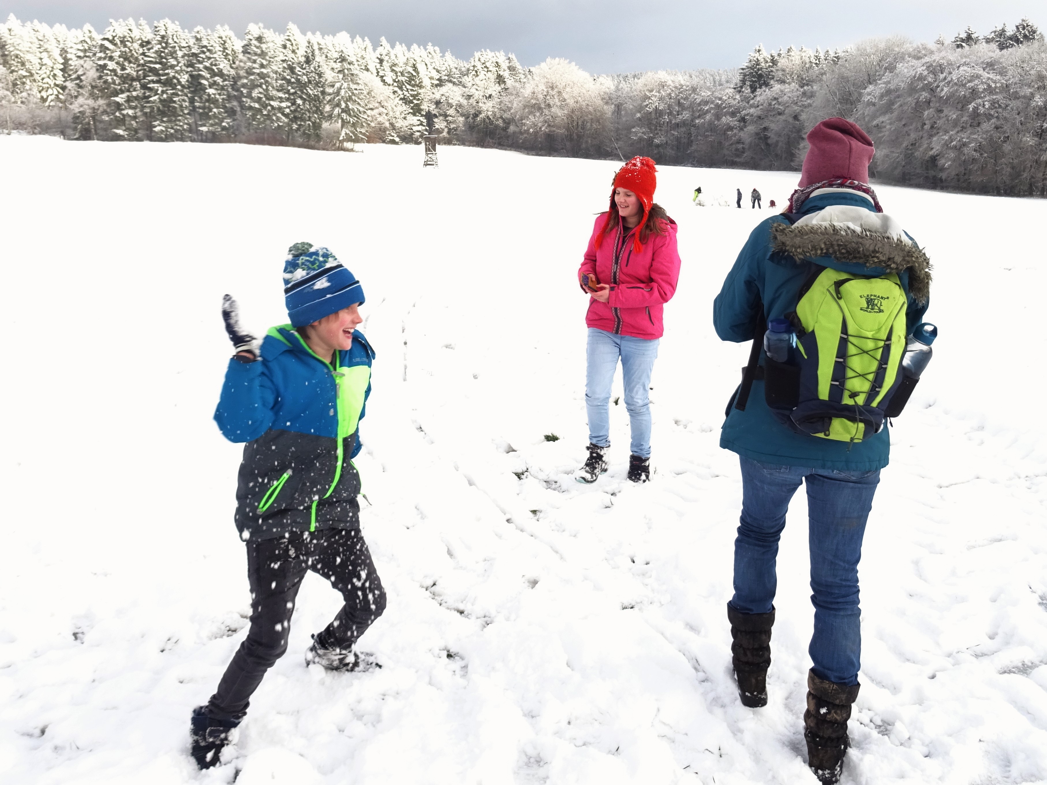
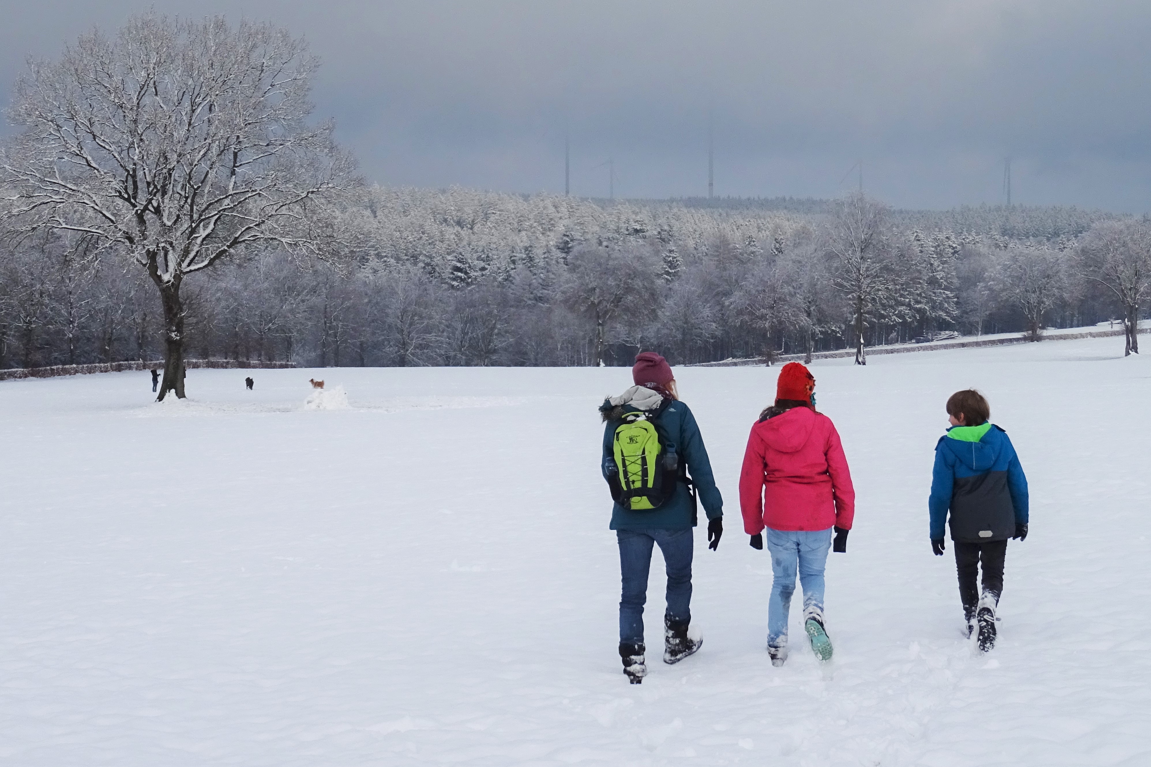
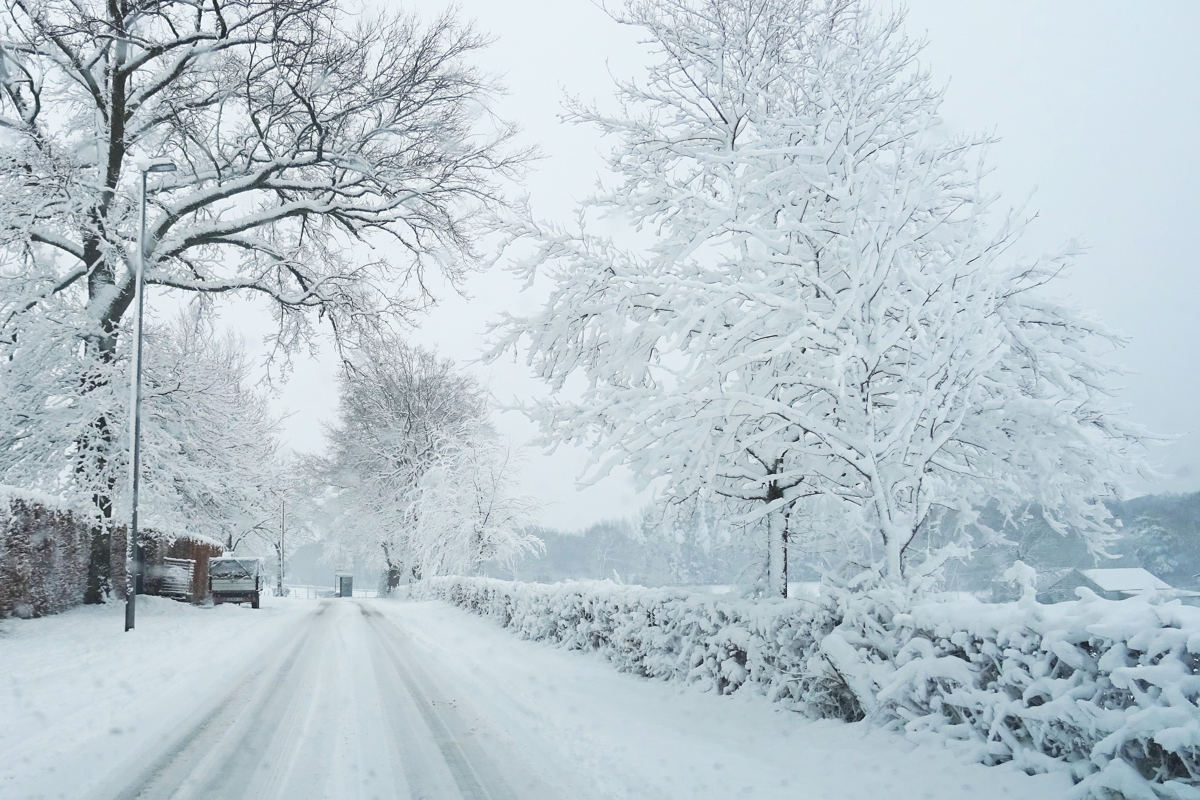
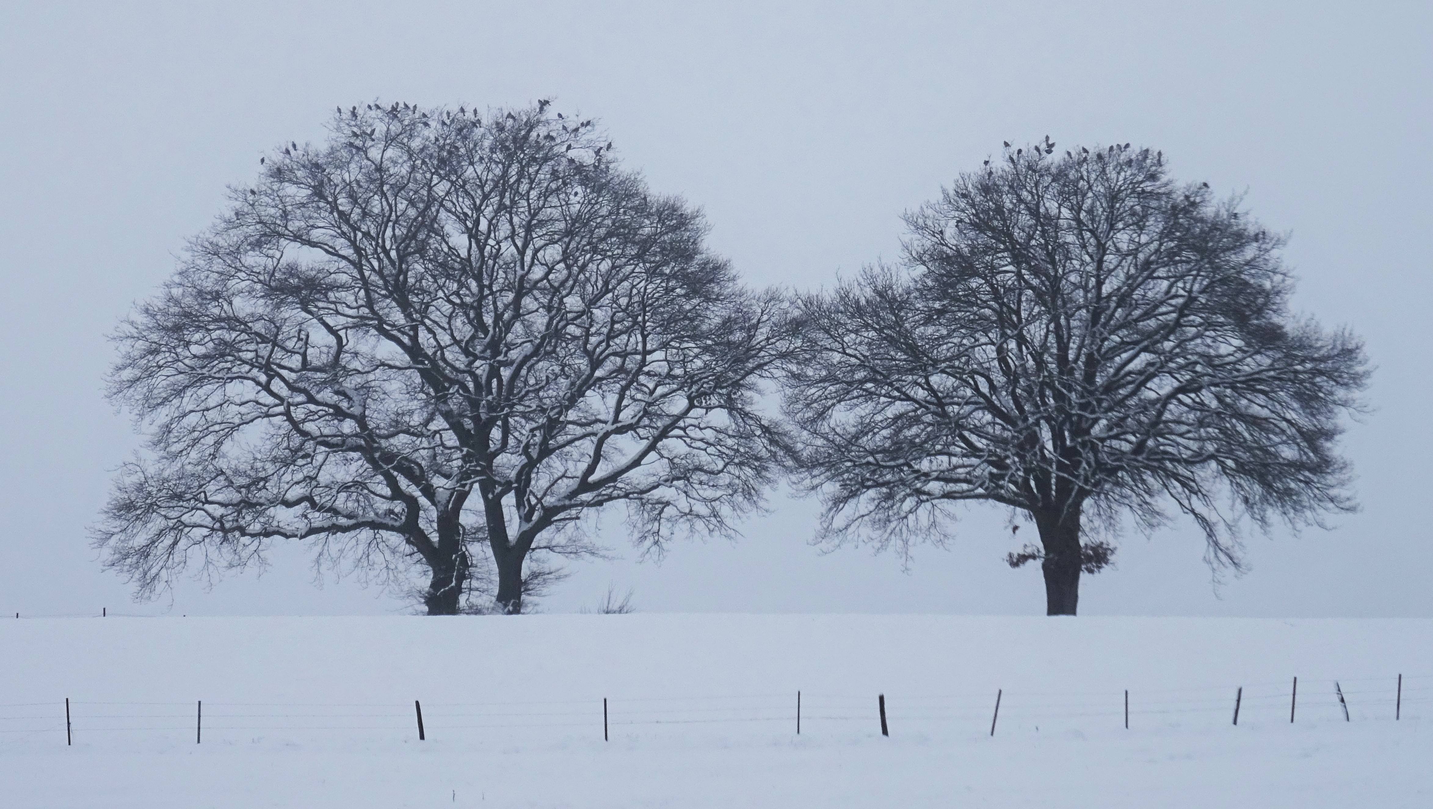
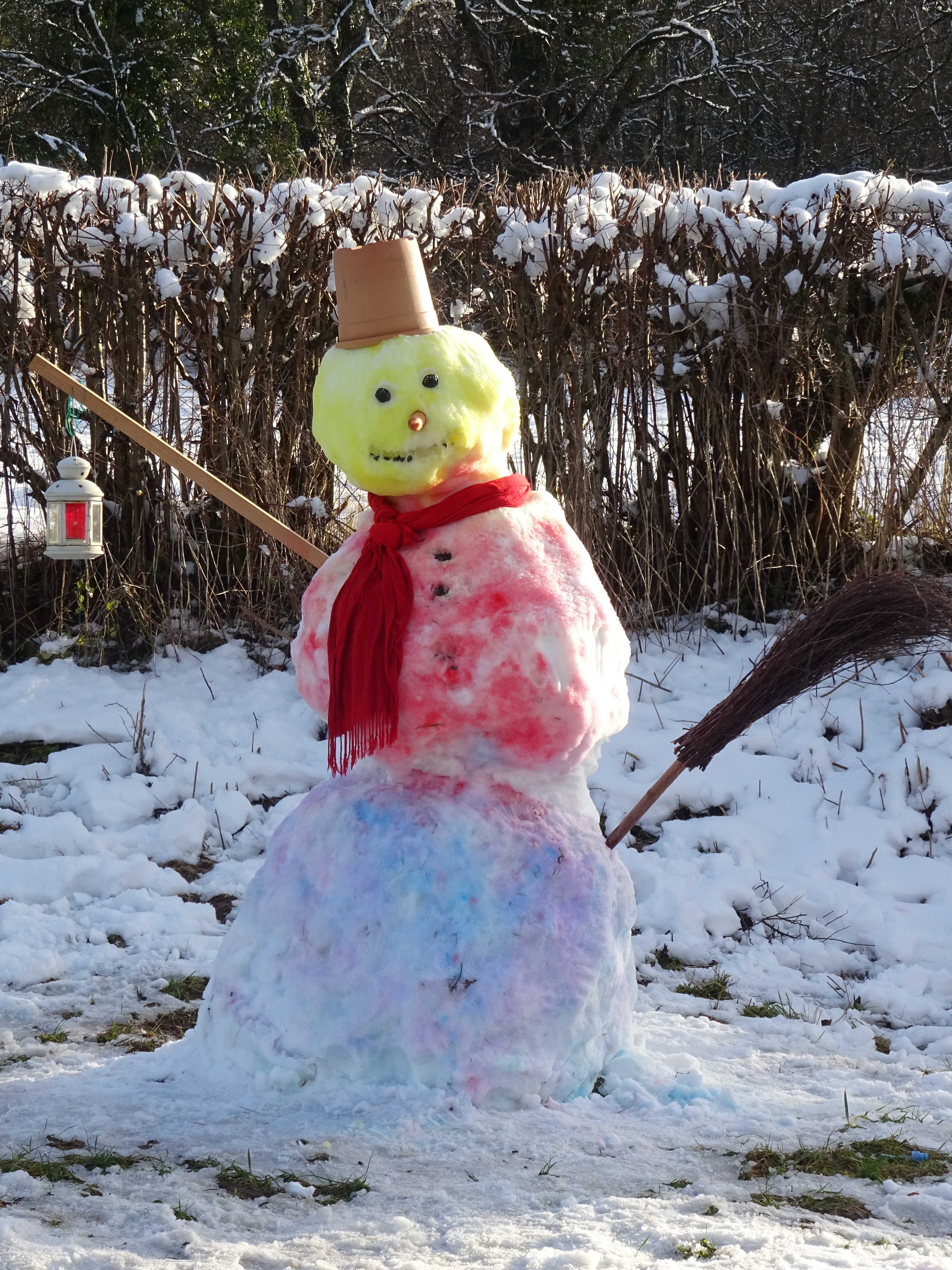
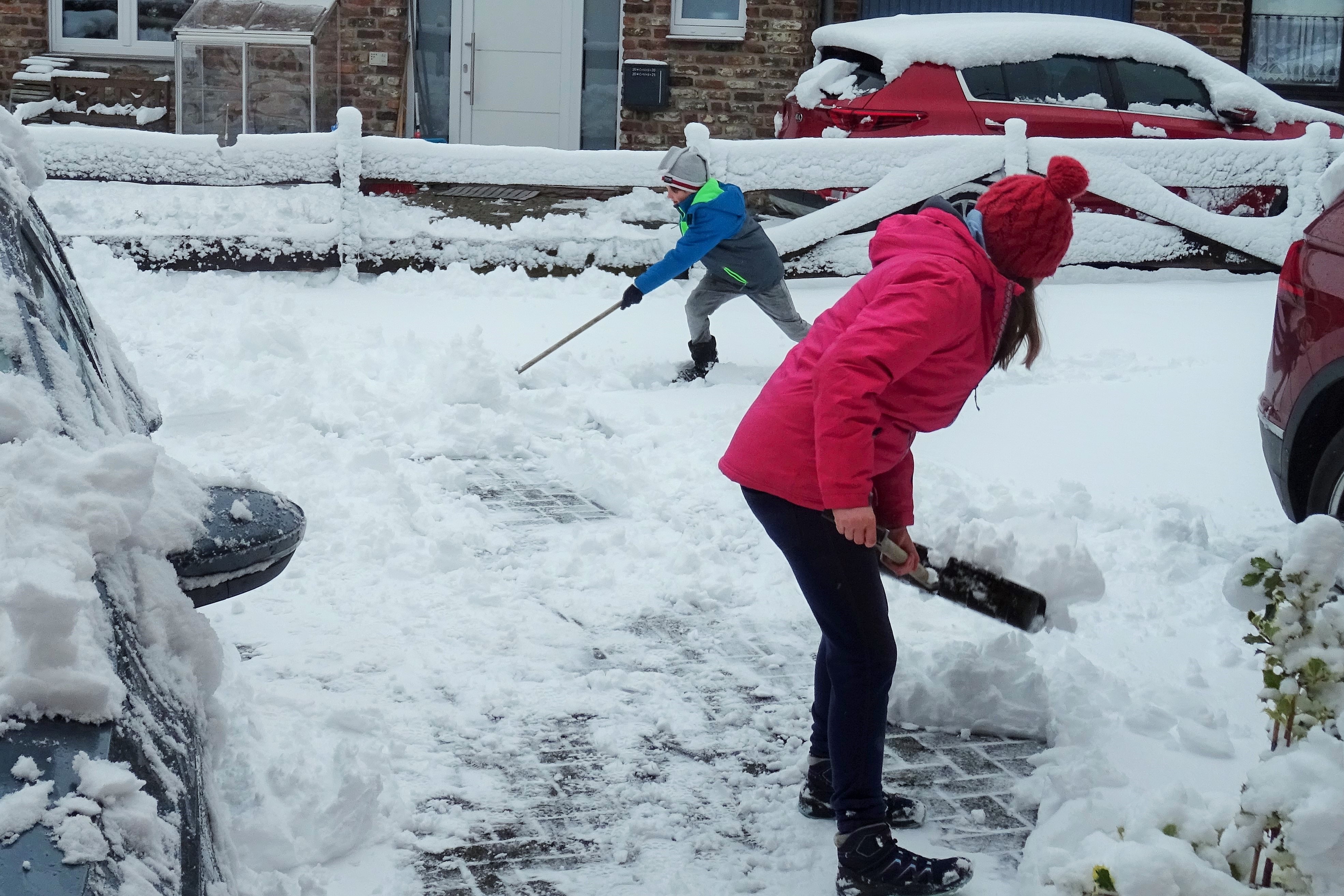
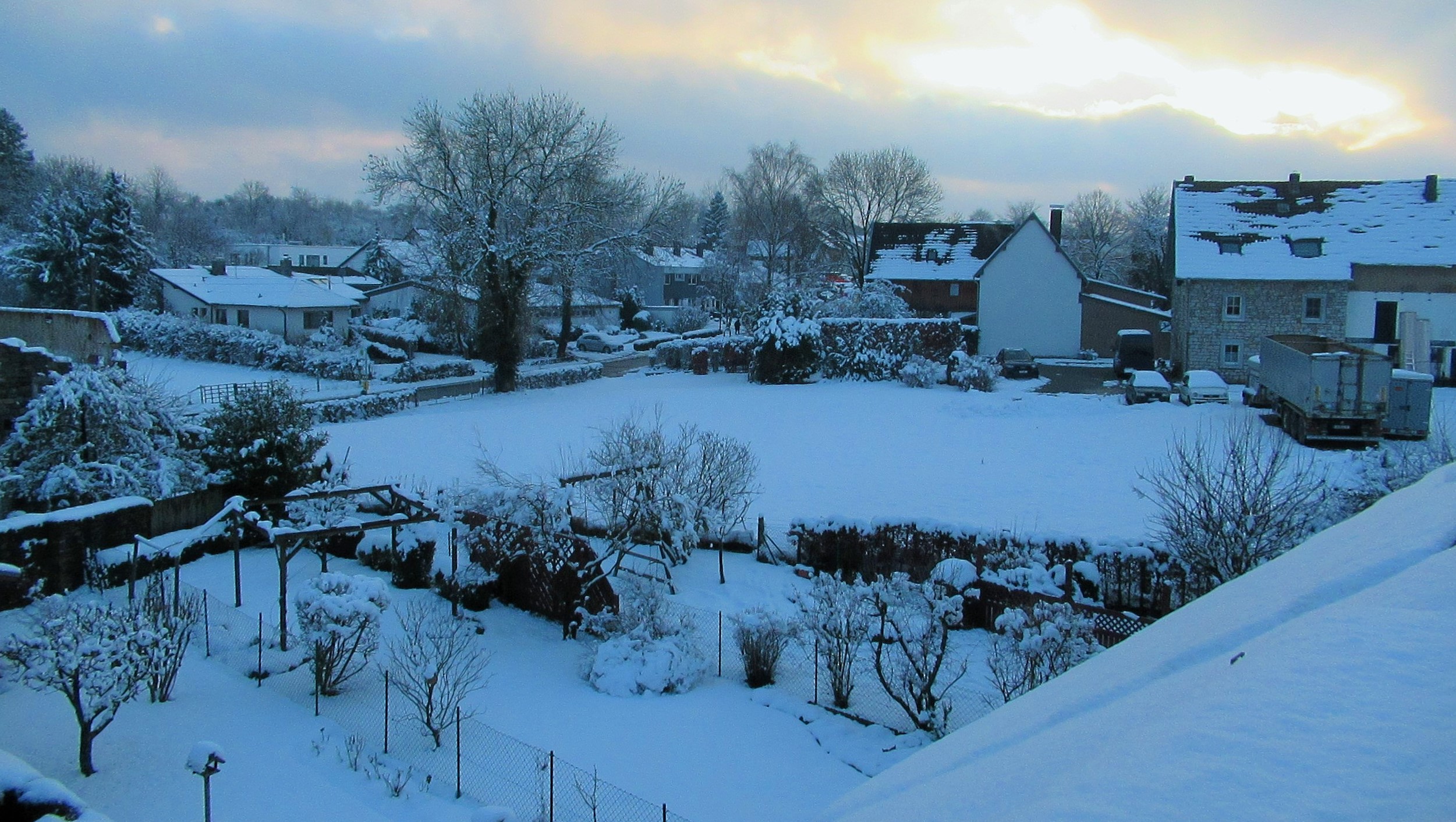
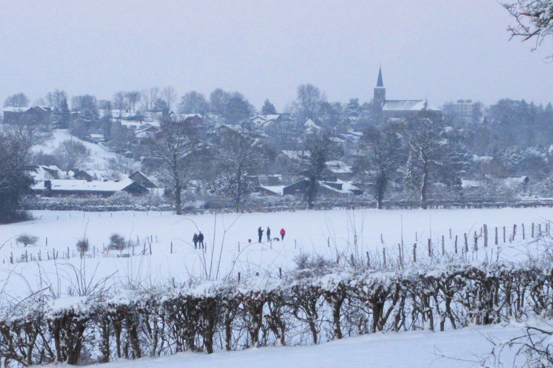
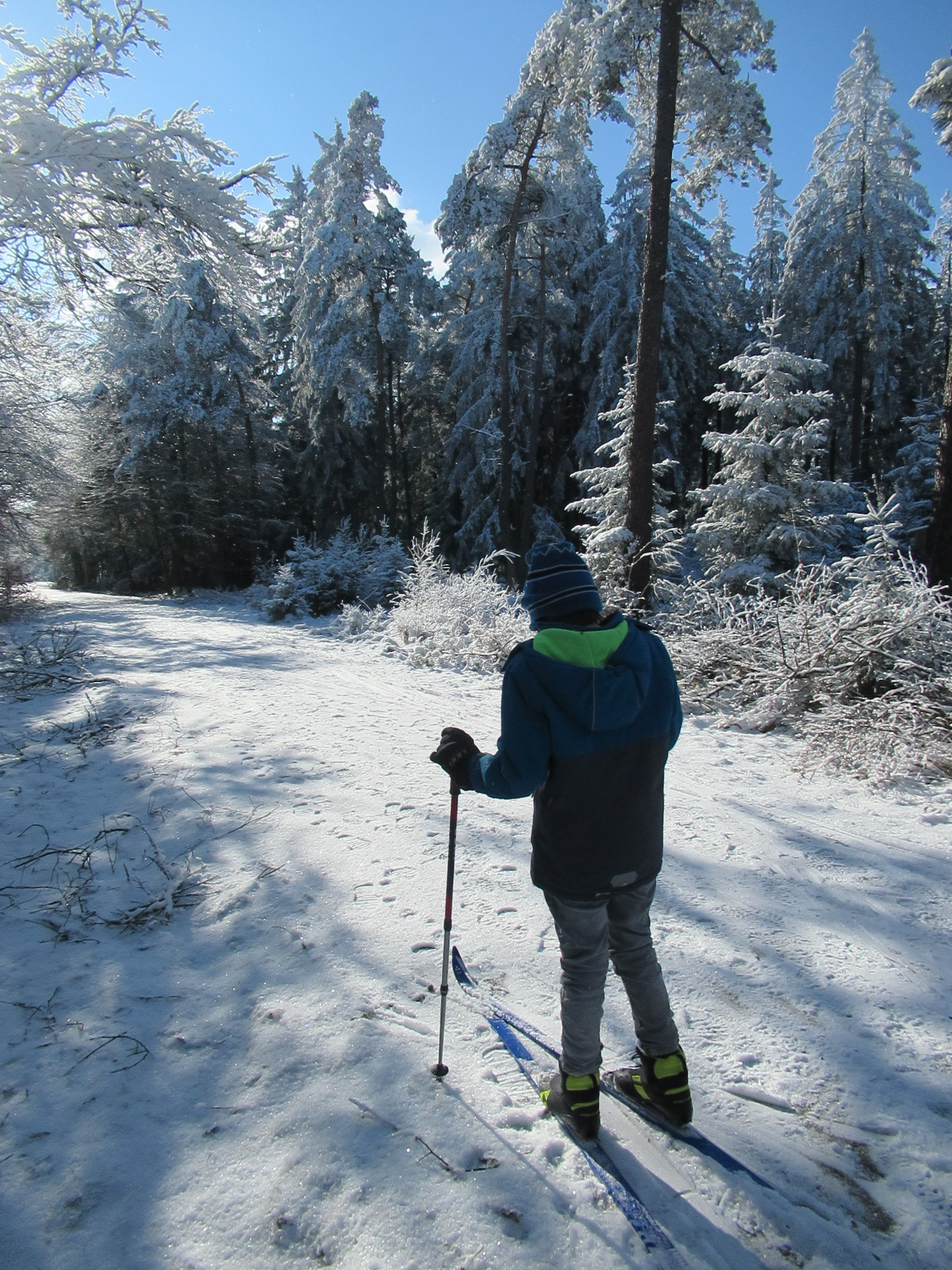
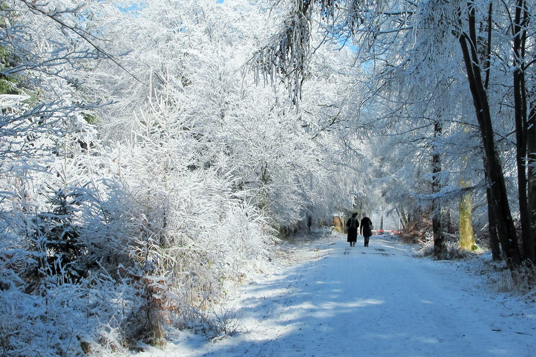
Straight back to the present again and winter in this part of Germany can be a grey time, often without a glimpse of sunshine for days on end. Corona lockdowns, gloomy news headlines, cancelled events and restrictive lives haven’t helped to create much of a sense of optimism and cheer – usually here it would be Carnival time now and days of celebration and craziness.  However, at least, we’ve been lucky to enjoy quite a number of snow days this year – these add a touch of sparkle and light in what would otherwise be a very dreich period. Enough said, just a few pictures of out and about in the snow round these parts:

DSC04831DSC04891

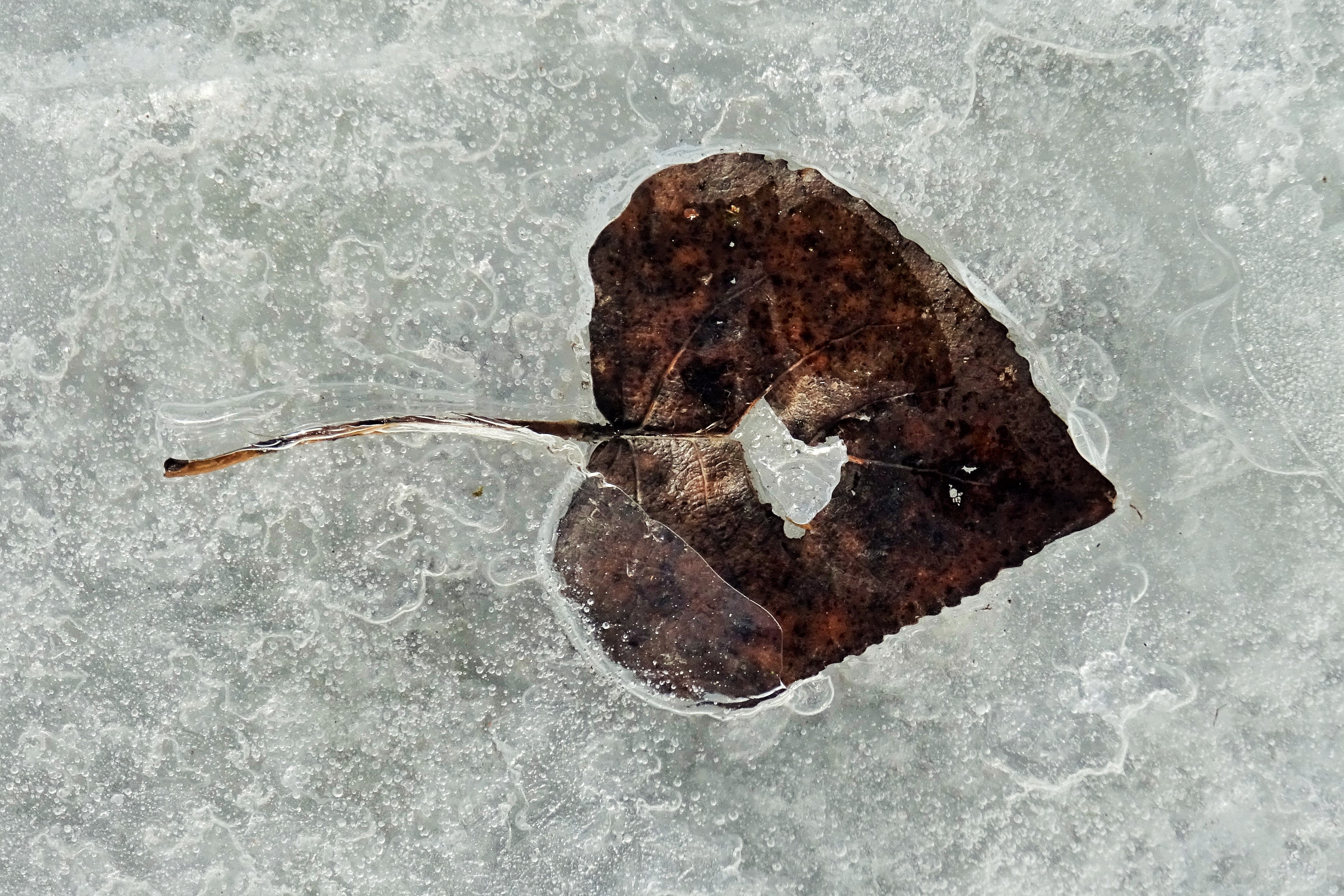
We also found some amazing miniature ice worlds in our local stream – there were witches, ring wraiths, warlocks, ice cities, mountain ranges and magical abstract kingdoms:


Posted in Aachen & Euregio, In Europe, Trees & Greenspaces | Tagged , , , , , , , | Leave a comment

Koh Tao – Searching for “The Beach”

Danny Boyle’s film “The Beach” Starring Leonardo DiCaprio was set around the theme of a mythical beach, located in a pristine bay which was tucked away somewhere in the Gulf of Thailand. In the movie, the beach had assumed a cult status amongst backpackers searching for a last unspoiled paradise. The film was based on a book by Alex Garland which was originally set around the island of Kho Pha Ngan in the Gulf. The film itself however, was actually made in Ko Phi Phi, off the opposite coast of Thailand.

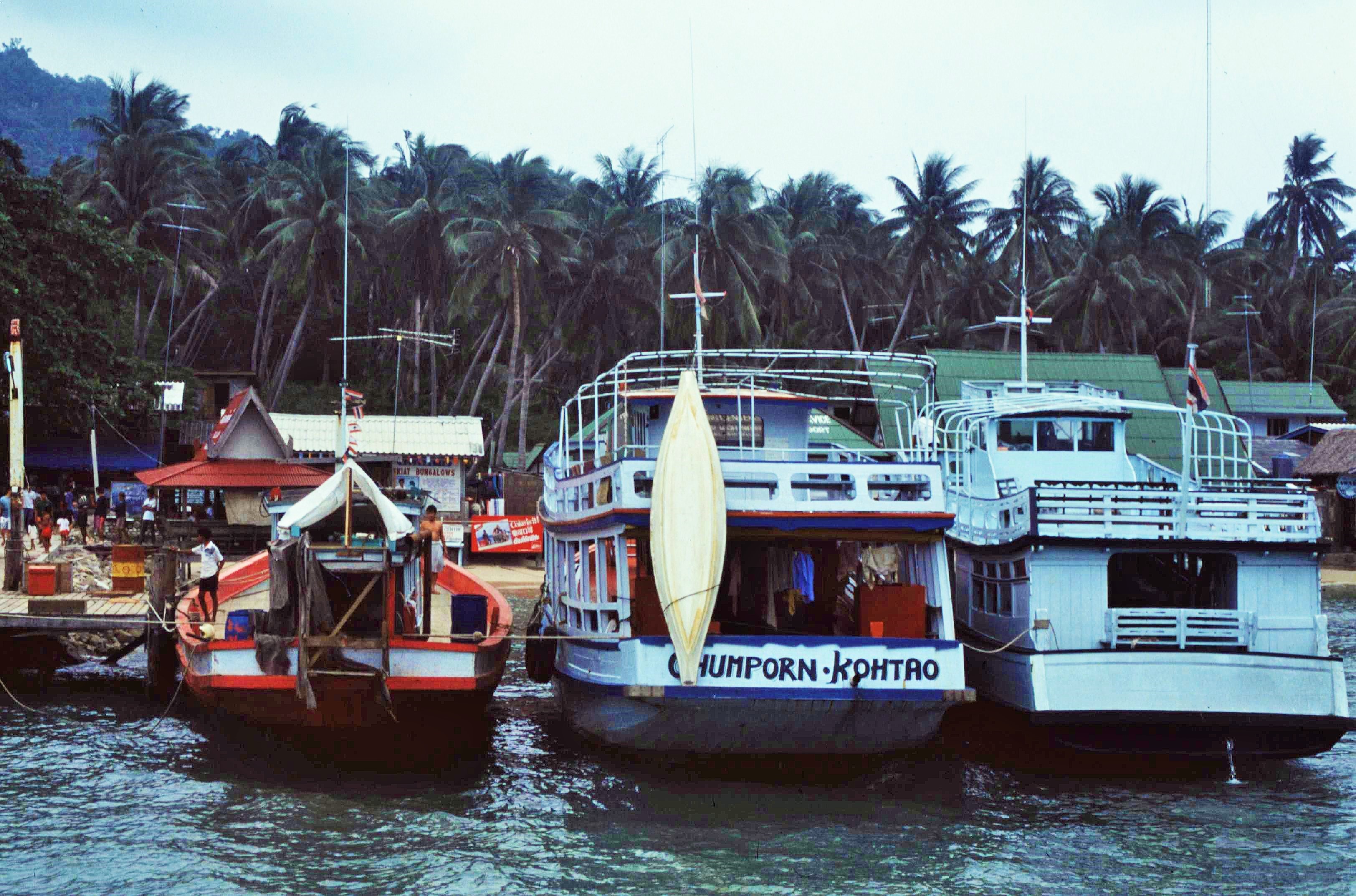
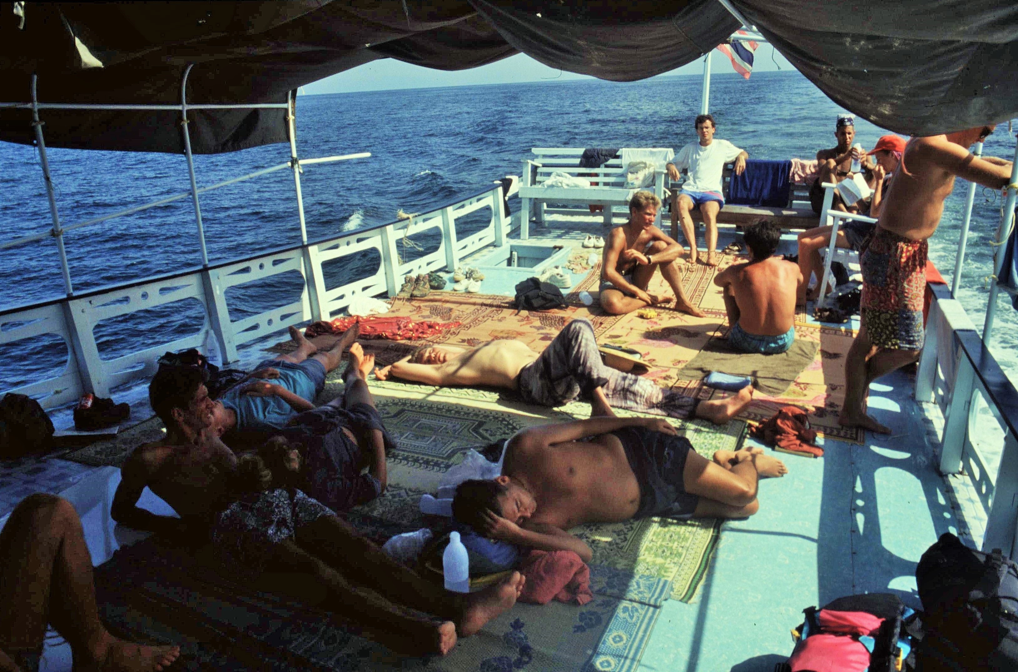
One blustery Christmas Day, a few years before Garland’s book was published, I arrived on Kho Pha Ngan with another VSO friend from Kathmandu – it wasn’t a fun voyage and I remember being caught in stormy seas in a boat that would have been more suited to the River Thames at Henley, rather than the open ocean. I remember some rather nerve wracking moments as the hull groaned and creaked in towering swell and locals argued over possession of the 2 life jackets stowed on board. However, in the end we made it to Kho Pha Ngan that Christmas day, the jubilant captain setting off firecrackers in celebration and perhaps suggesting that the crew also felt lucky to get there. Later we heard that many boats had been wrecked or damaged in the the area during the storm that day.

The same morning we’d set off from Ko Samui in calmer conditions – the plan had been to stay there for a while. However Ko Samui had seemed rather a brash and overdeveloped tourist-trap, filled with package tourists, noisy bars and nightclubs and a lot of unwelcome traffic. It sounded like the more remote islands would have better to offer in terms of authenticity and general chill out appeal.

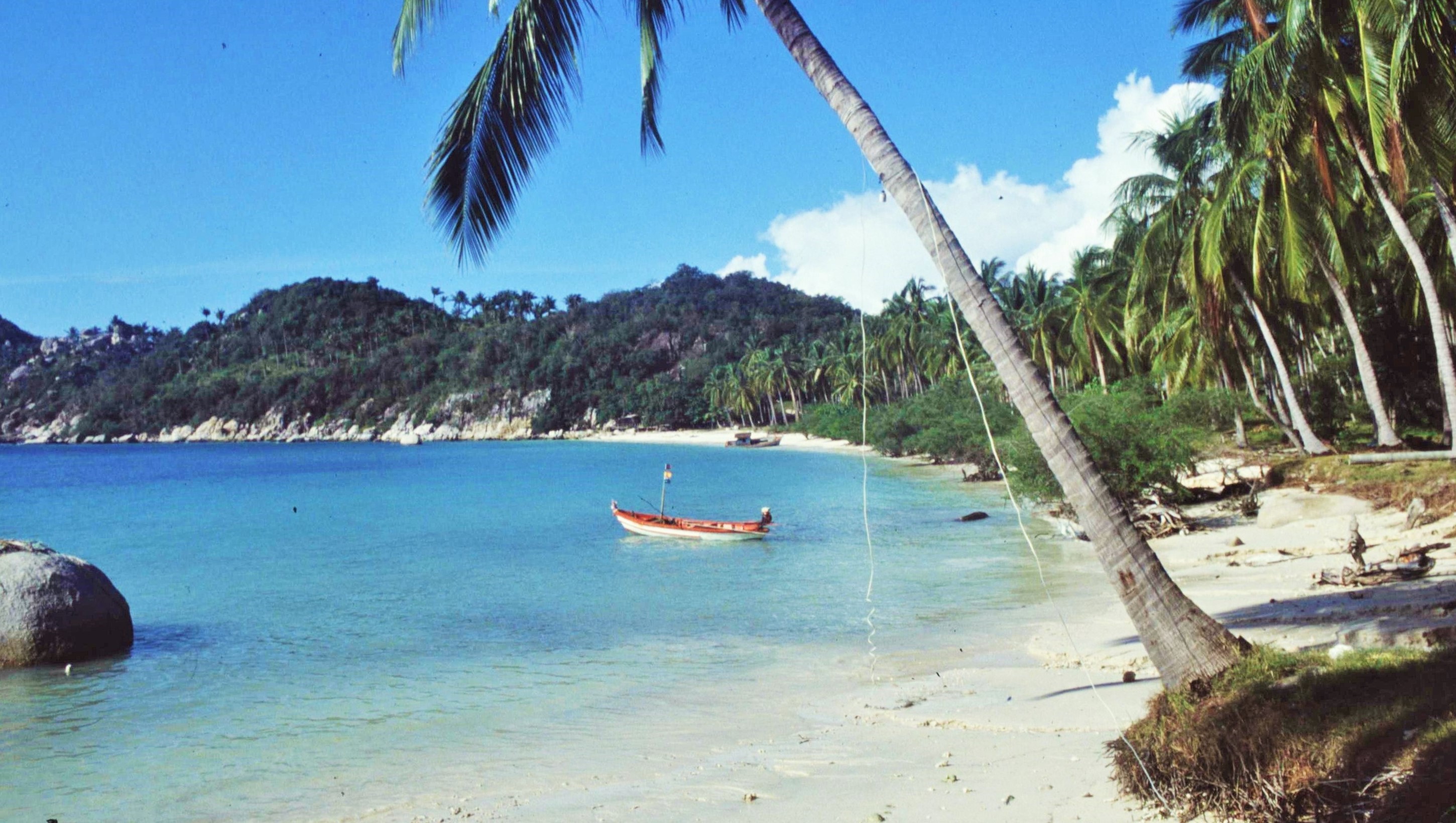
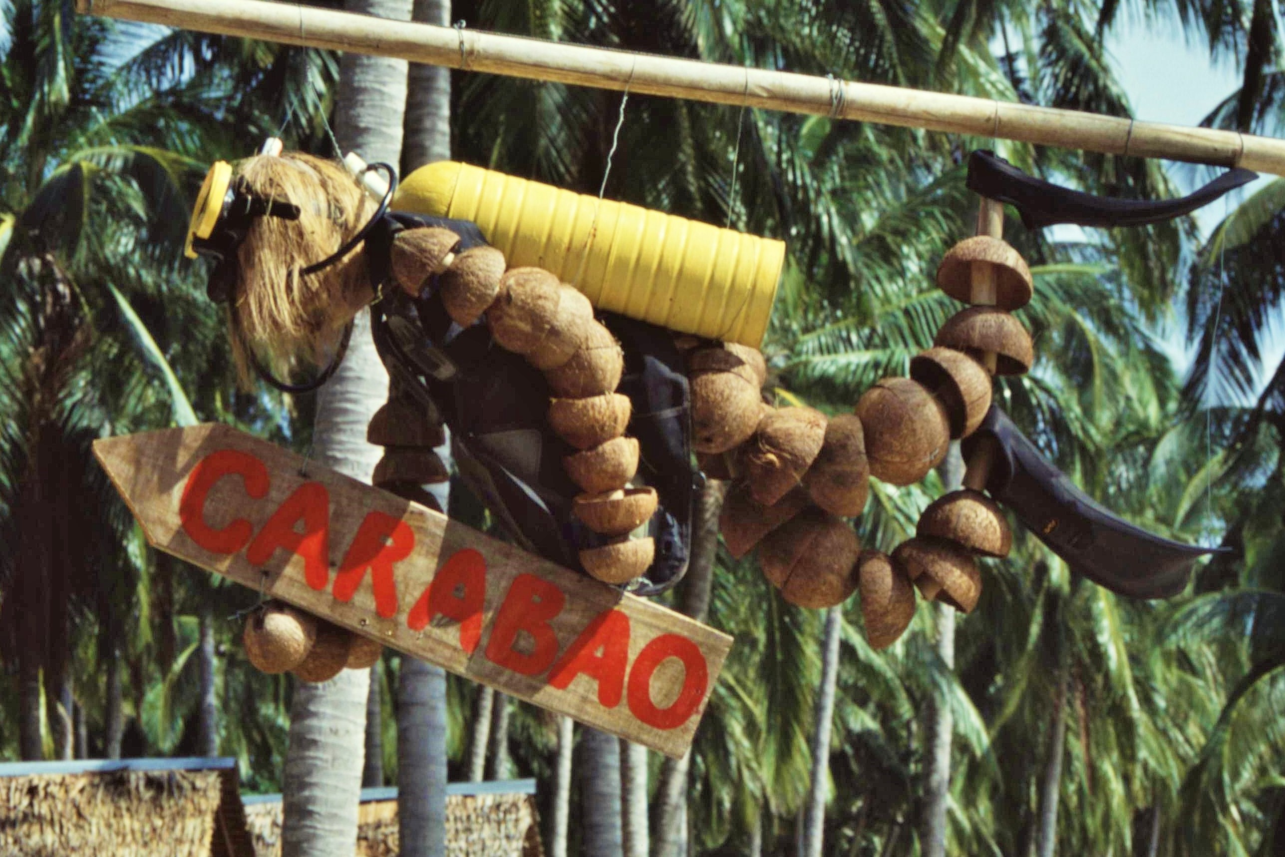
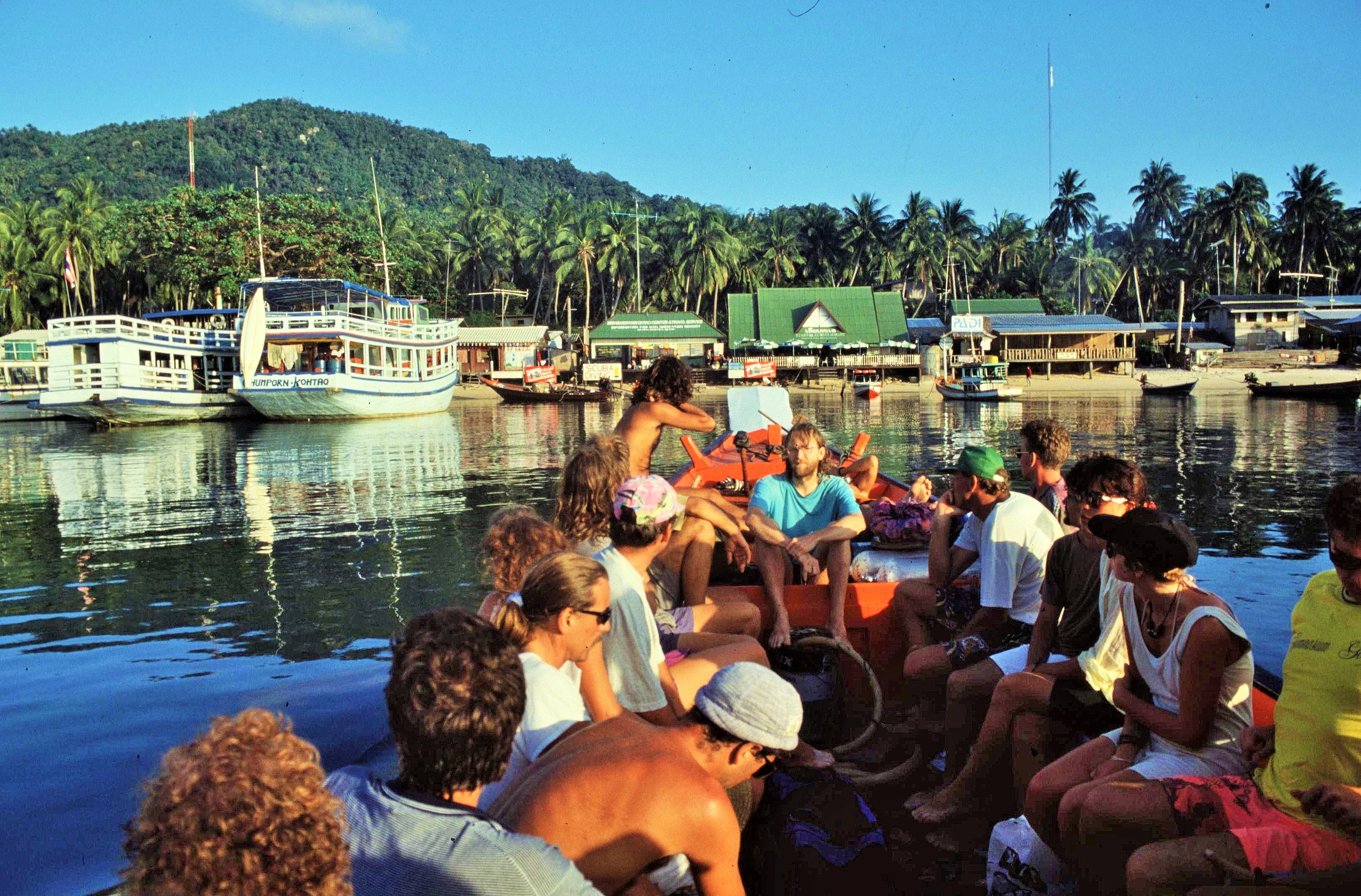
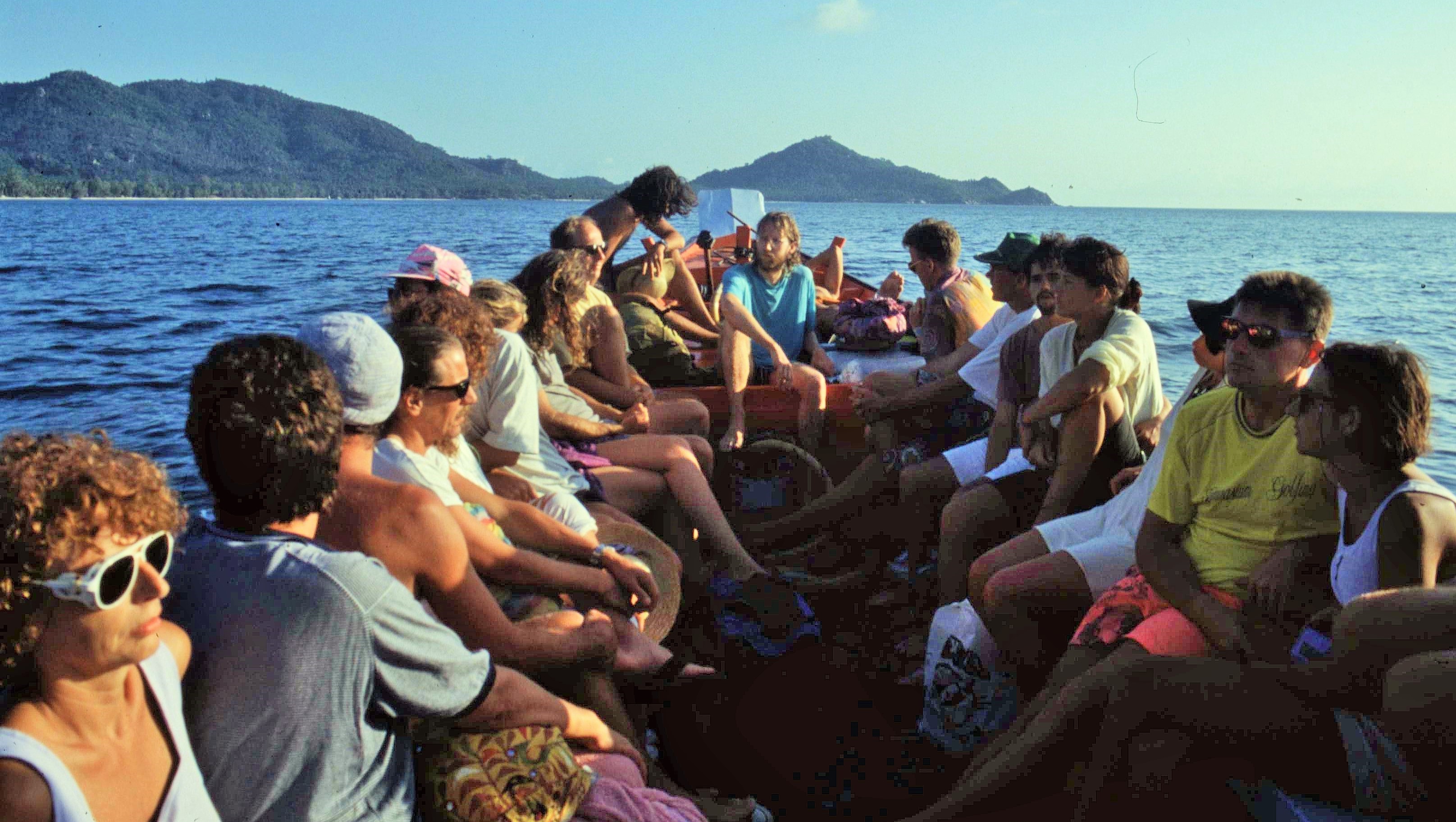
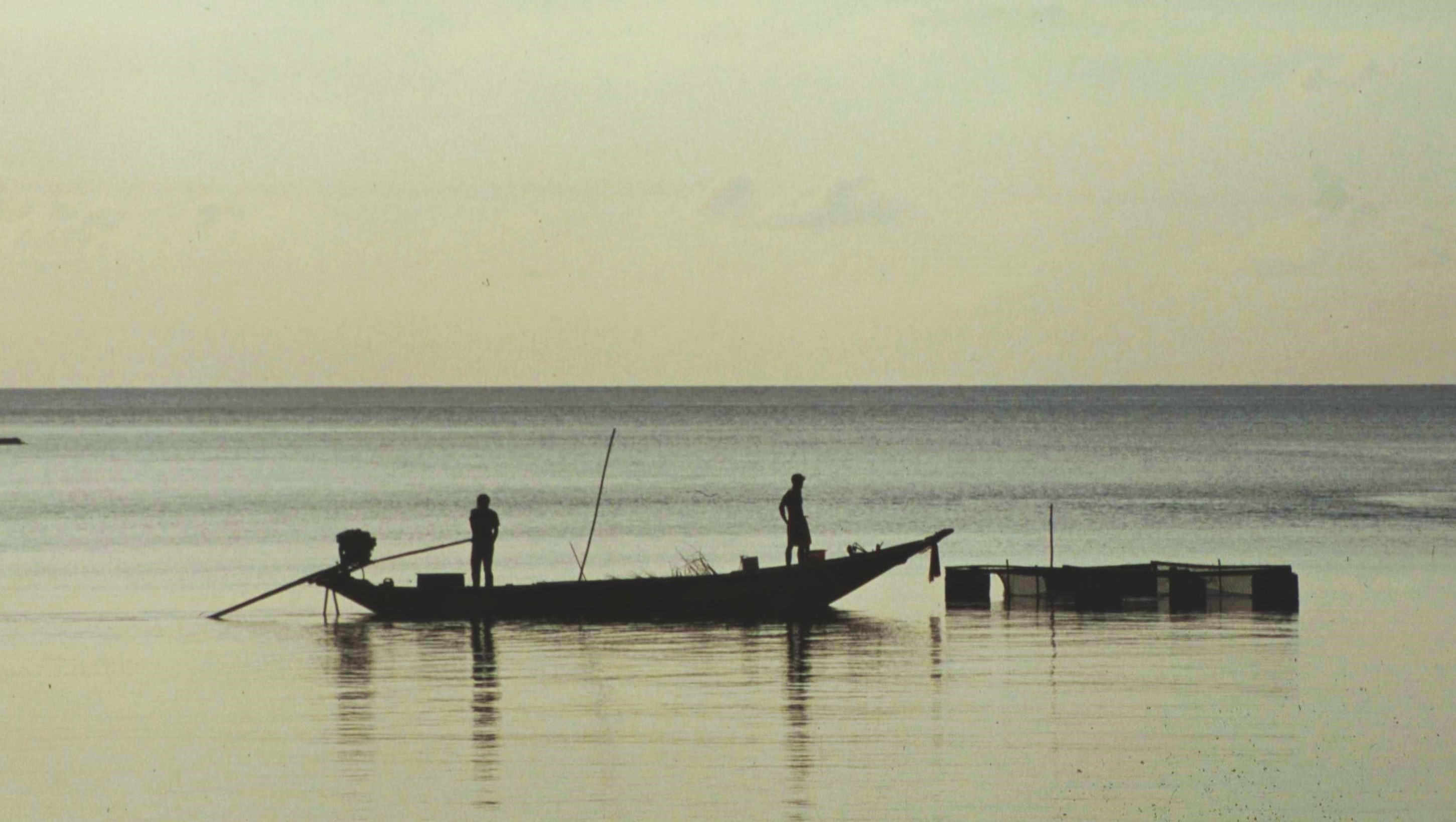
After the stormy crossing to Kho Pha Ngan, we decided to stay there for a couple of days before heading off to the even remoter island of Koh Tao, located another 50km or so to the NW. Fortunately our journey to Koh Tao went a lot more smoothly and our vessel proved more seaworthy on this occasion – being more like a Scottish trawler which rode the waves than the previous Thames barge which rode under them. Like the fictional island in “The Beach”, Koh Tao was known as a laidback backpacker haven with basic infrastructure and no proper roads. It was also regarded as a cool venue for scuba diving and dive training.

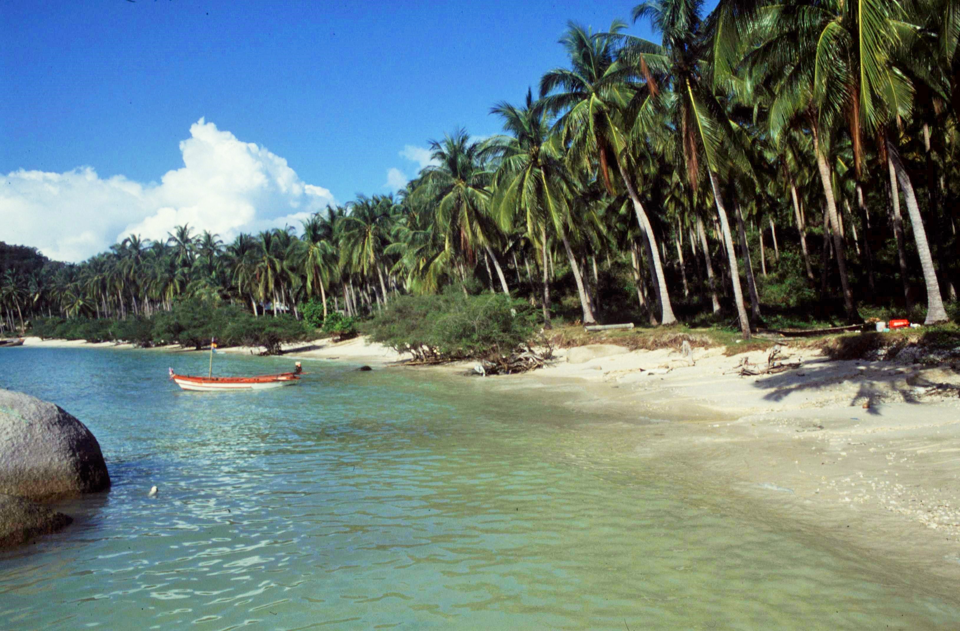
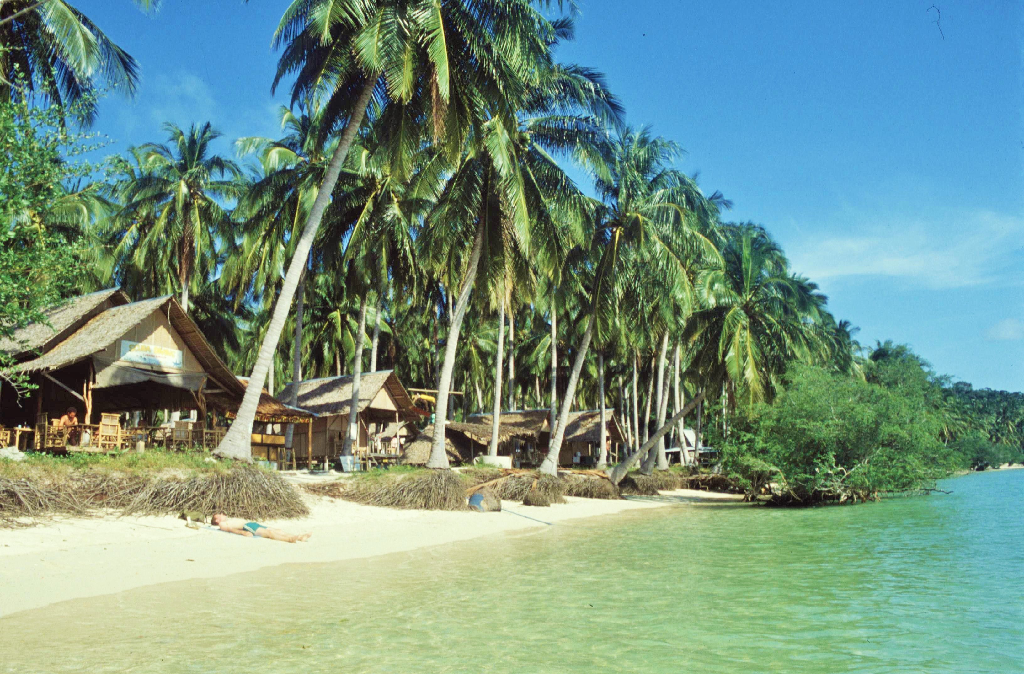
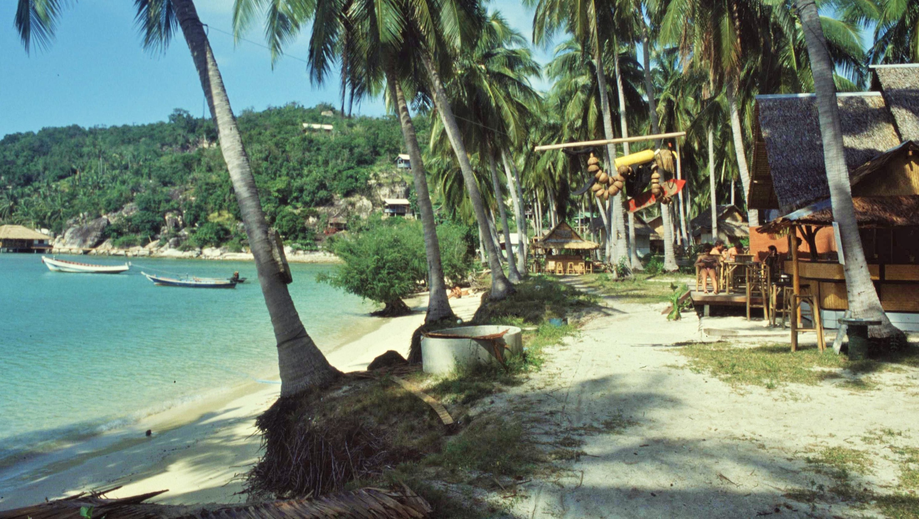
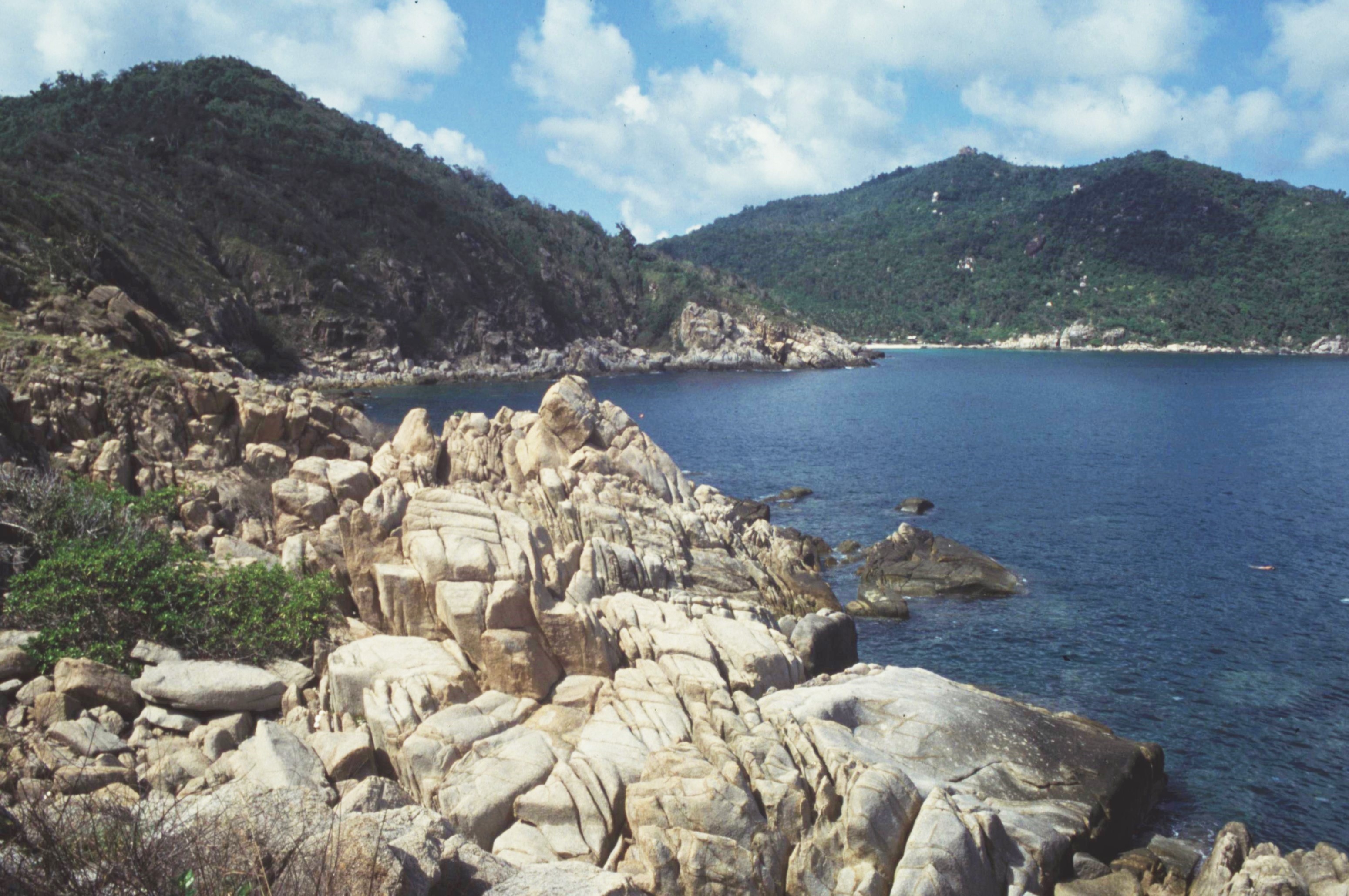
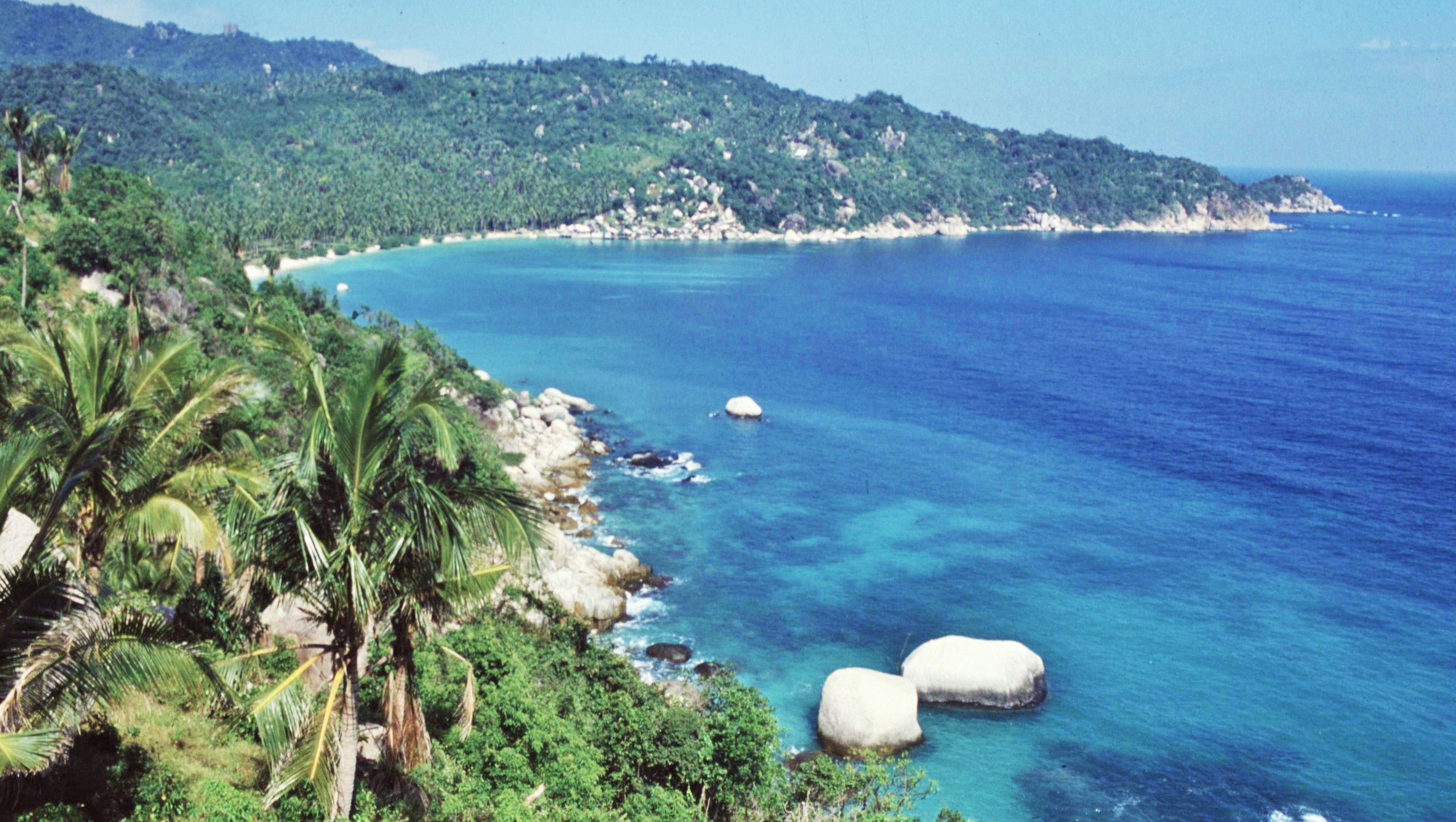
First impressions of Koh Tao were certainly favourable and the Island certainly appeared to live up to its cool and unhurried reputation. We stayed in a traditional palm thatched beach hut by the sublime Shark Bay. The infrastructure was pretty basic but included a rustic beach bar selling essential supplies such as cocktails, sea food specialties and of course other essential “supplies” for stressed out backpackers (the latter being of limited interest to a clean living person like myself ! ). There were also an interesting assortment of home baked items on offer including cakes which had some rather unforeseen effects, as I discovered later to my cost.

The location of the beach hut was fantastic, about 20m from the beach itself, the crystal clear aqua marine water being perfect for snorkeling. There was a lot of space around and so nobody felt too packed in. Other guests were fairly eccentric or alternative. These included a couple of German naturists, a guy who stood in the sea, up to his knees, playing the saxophone every morning and another musician from a British indie rock band, with his partner and rather annoying kid in tow, who kept telling us about the “blood feasts” he’d been to the previous night.

At night we were kept awake by small but very loud geckos, which shared our hut with us. At first we couldn’t work out what the commotion was and I even went to see if someone with a duck whistle was lurking about just outside. One evening, after yet another beautiful sunset, the sound was extreme. It was made even worse by a couple of English guys with a touch of “Delhi belly” who were throwing up loudly all night and swearing with equal gusto. Then a dog started barking non-stop which seemed to go on for hours, until suddenly a loud shot rang out and there was complete silence – I’m not sure exactly what happened, but possibly it wasn’t so good for the dog ! Even the puking backpackers were a bit quieter after that.

Generally though, the time spent on the island was just pure chill out; swimming in the ocean, watching the sunsets, reading (for some unknown reason “Pride and Prejudice”) or sitting by the little beach bar listening the the gentle tropical breeze rustling through the palm fronds. All in all, it was an ideal tonic to previous long months spent navigating rough Himalayan trails and high mountain passes.

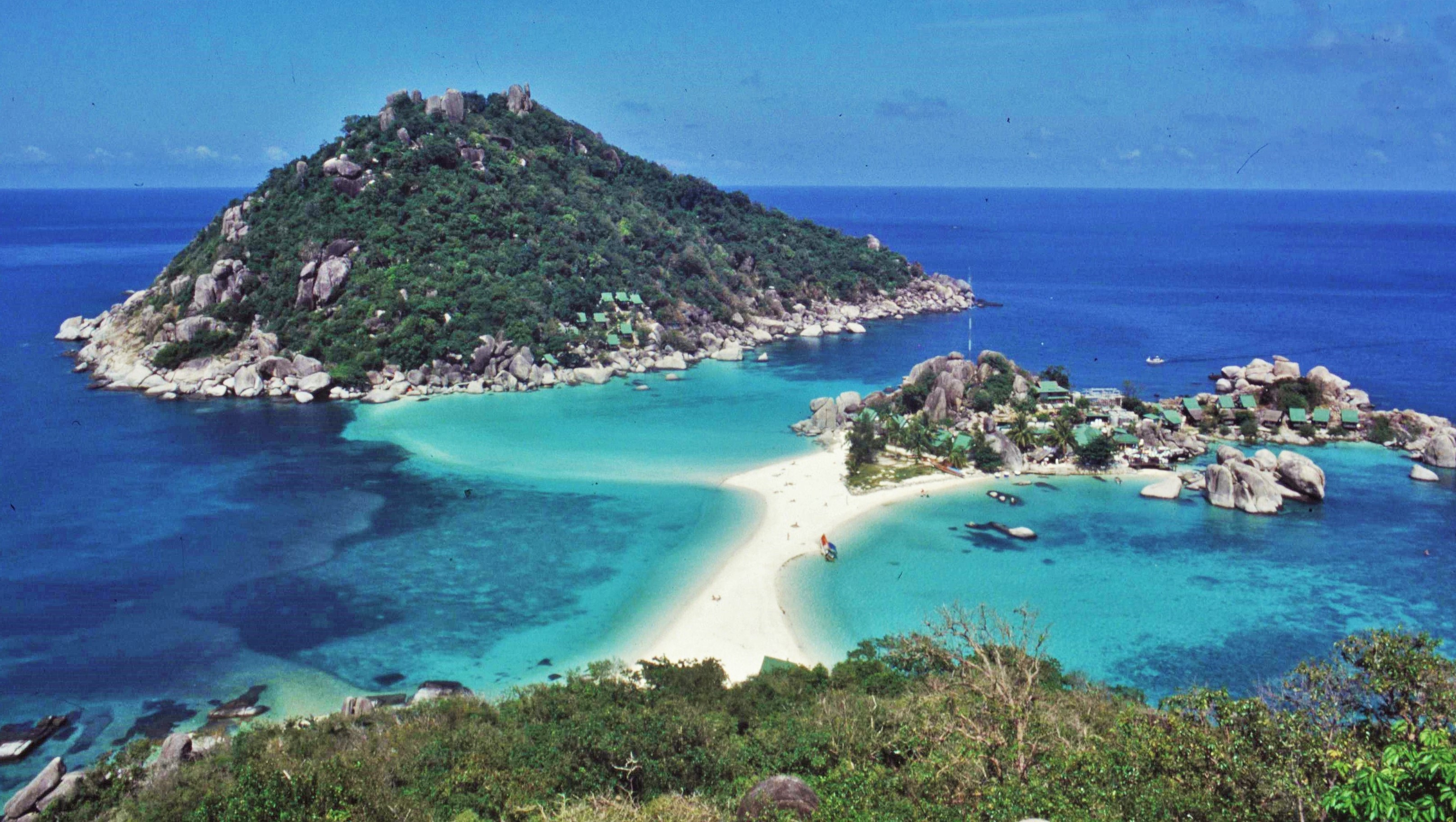
We also took a short boat trip to visit a nearby group of offshore “islets” with connecting strips of shell sand beach linking the three small islands. The stunning location and colours certainly would have been enough to lure any would-be bounty hunters. I do remember the intensity of the sun there being just a little too much though without the welcoming shade of the palms found on Koh Toa.

All around the coast of Koh Toa, there are stunning reefs which are ideal for diving. We did some snorkeling and saw some fabulous marine life. However, it has to be said that some of the coral was showing evidence of damage due to the impact of dive tourism and also inappropriate fishing practices on the reefs.

As with all places though, Koh Tao has changed in recent years. Looking at recent Google Maps footage of the Island, it appears obvious that the place is now considerably busier and more developed than it was when I visited in the 90s, with many more houses, shops and a road network. As in the film “The Beach”, it seems that development invariably creeps in. The pioneering hippies and backpackers who first discover these places, pave the way for more commercial operators and then, at worst, for mass tourism, as in the case of Koh Samui.

Koh Tao also seems to have changed in other ways and certainly not for the better. Since 2014 there has been a spate of backpacker murders on the island, which as a consequence, has acquired the undesirable title of “Death Island”. There have also been reports of mafia style cartels operating on the island and a general associated increase in crime. All this would have been unthinkable in the 1990s when we visited this laid back utopia.

Perhaps “The Eagles” were right in the song “The Last Resort” on the topic of Manifest Destiny, when they said “call someplace paradise, kiss it goodbye”…

And now for something completely different…

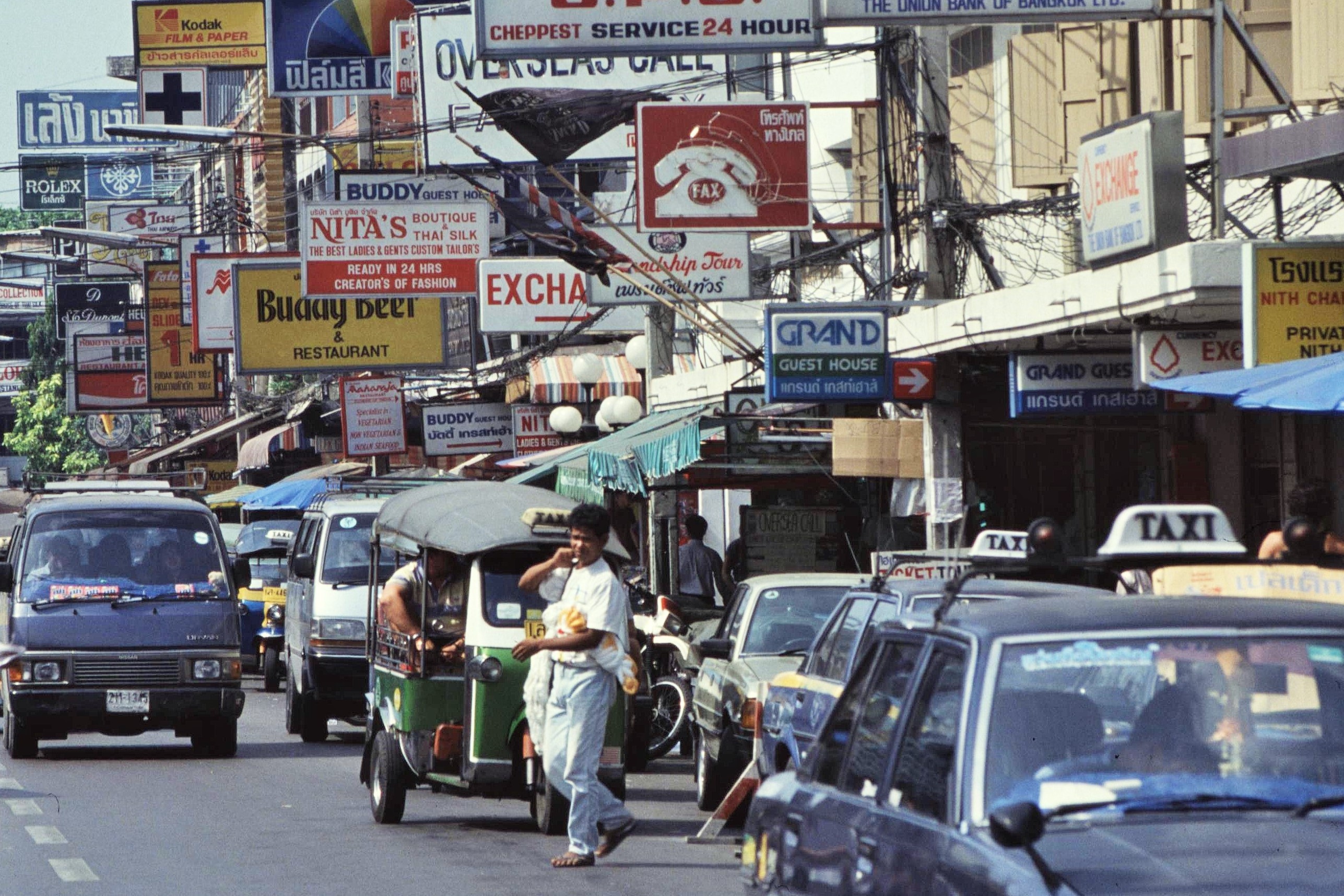
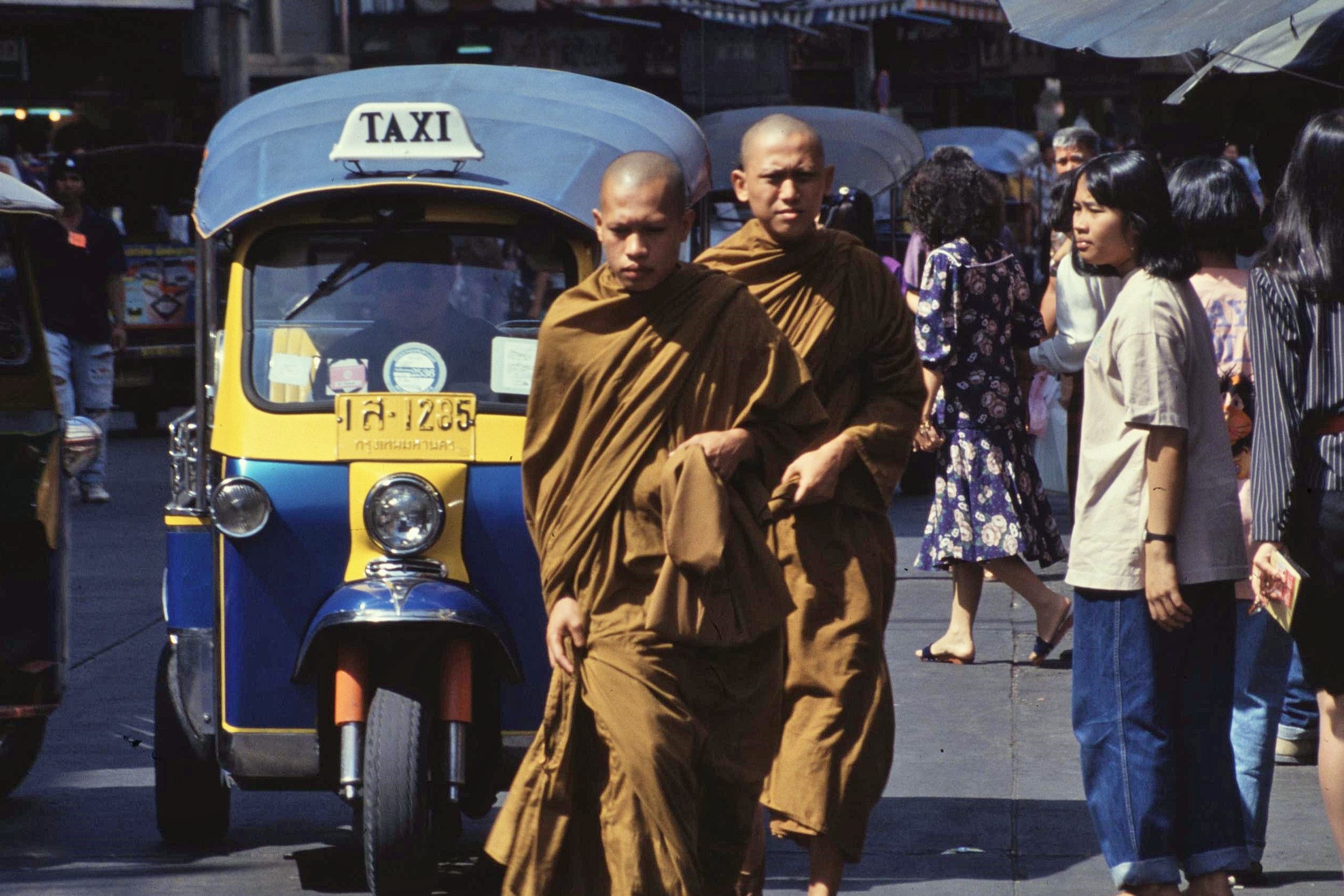
On the way back to Kathmandu from Koh Tao, we spent a few days in Bangkok. I must admit this city was one that left my head spinning and with a real sense of culture shock. It was a loud, hectic, brazen, hot and grimy place which made Kathmandu seem like a village in comparison. There were many strange sights that made me think of scenes from dystopias such as Gotham City or Blade Runner – families living amongst piles of engine parts and gear box components with their 3 piece suite and TV set up, a motorbike that suddenly skidded across the street in a shower of sparks before the rider sprinted off and “tuk tuk” auto rickshaws that seemed to accelerate at around100 g.

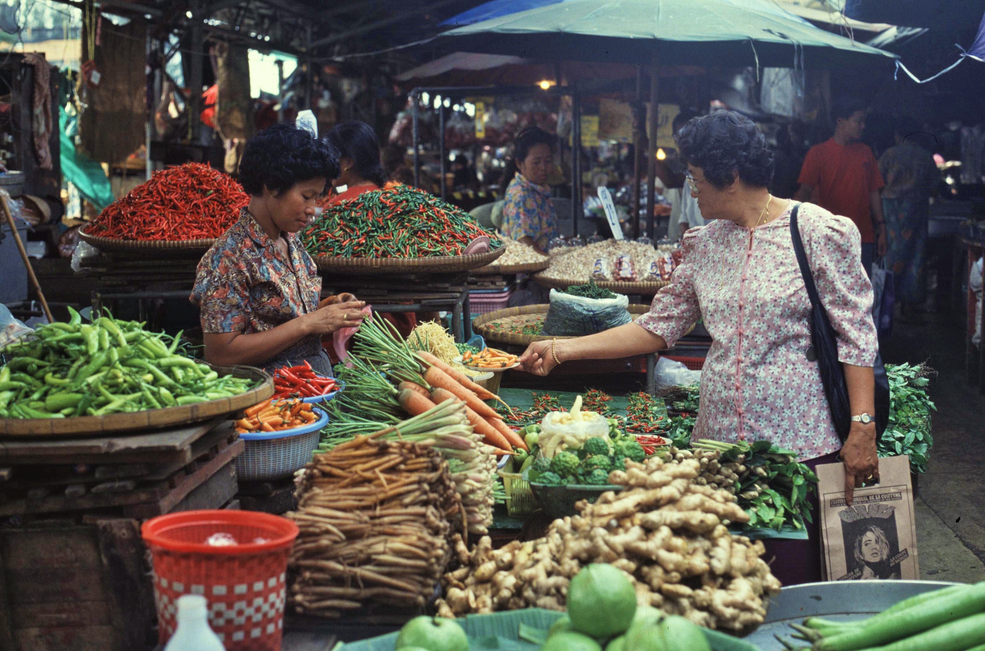
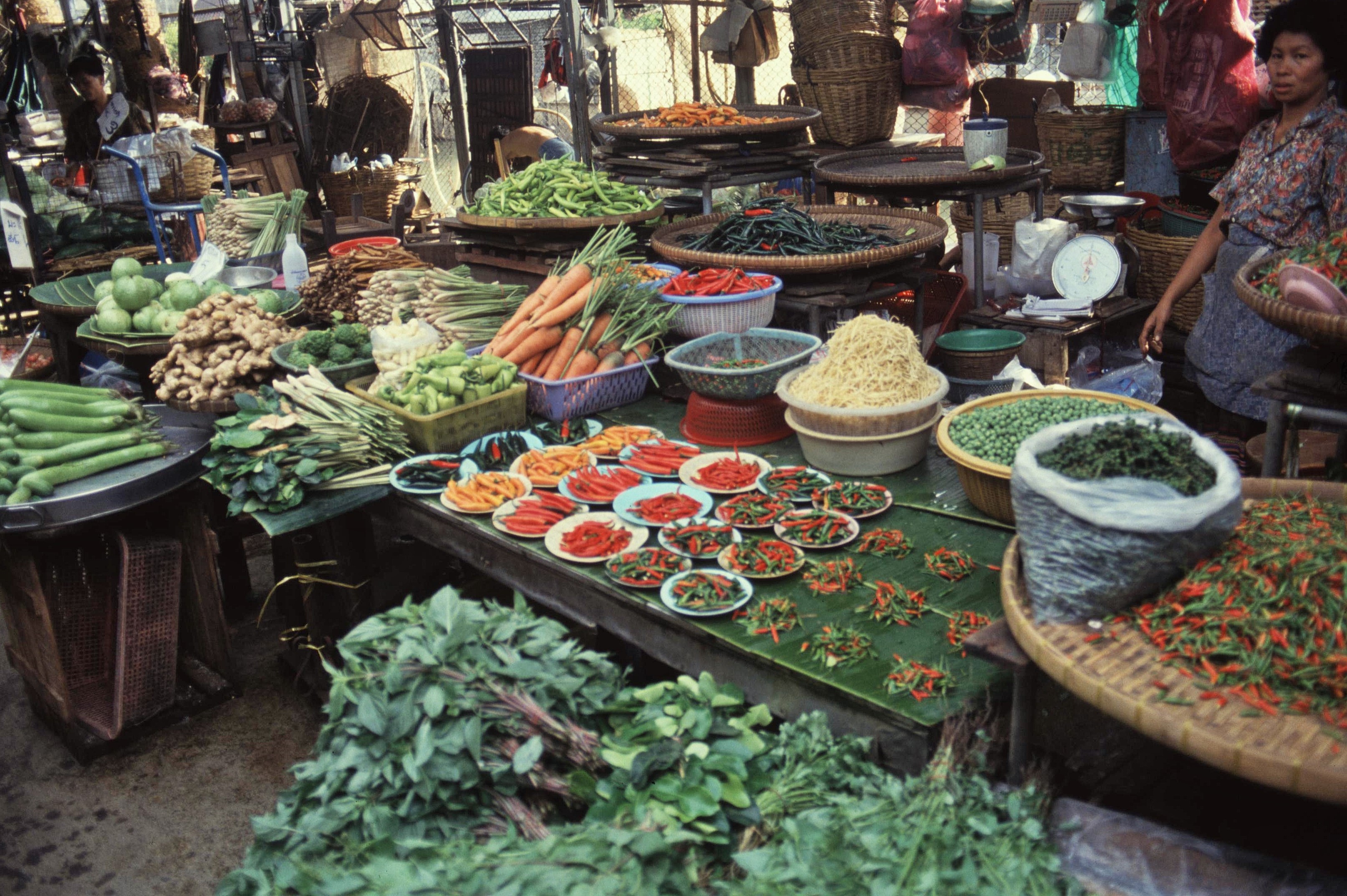
That said there were also many interesting corners to the City, particularly markets which seemed to sell every living and dead thing under the sun and which were a real riot of colours and smells. The street food was also fantastic and a bargain at the price, with some amazing and subtle flavours and combinations.

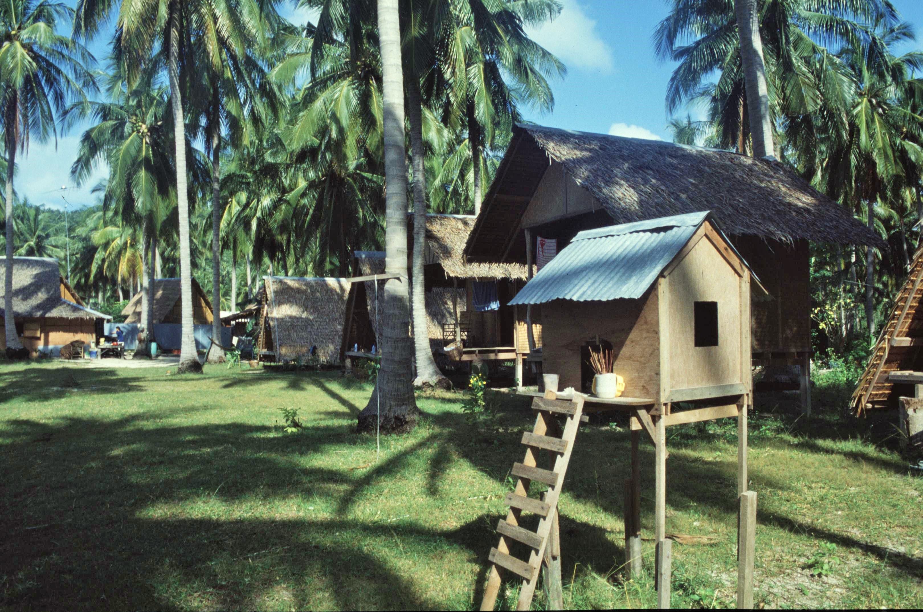
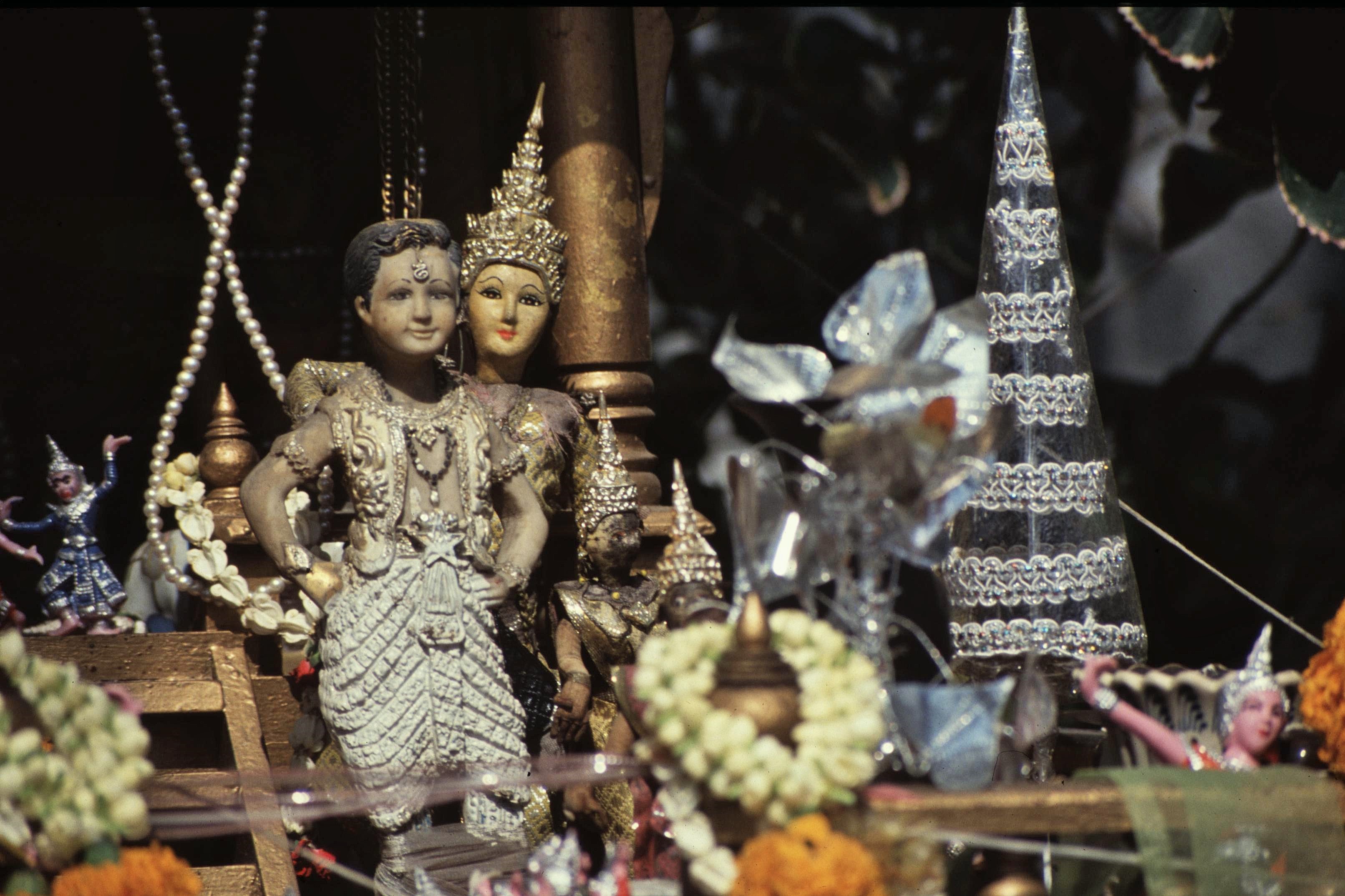
There were many interesting temples and palaces to visit including some high profile destinations in the city. I was also really fascinated by the small “spirit houses” that are found outside most Thai houses as a place where the spirits can reside, thereby not inconveniencing the occupants of the houses too much. I was really fascinated by some of the detail of these  – some are certainly like mini works of art, whilst others are comparatively rustic in nature.

After a few hectic but fascinating days in Bangkok, I was happy enough to be heading back to Kathmandu though. That was another tale in itself however; I vividly remember after a flight of 4 hours, circling around above Kathmandu airport for 45 minutes or so in perfect visibility, before being diverted all the way back to Bangkok, stopping briefly in Dhaka, Bangladesh en route (where we were escorted off the plane by men in military uniforms). We never really received an adequate explanation for this – though to be fair we did get a lovely meal and a night in a luxury hotel courtesy of Thai Air. Fortunately though the next day the gods were smiling and our rescheduled flight made a perfect touchdown in Kathmandu in what seemed like very murky conditions indeed.

It was time to head back to Himalayan wanderings and to leave “the beach” to others.

Posted in Canoe Trips, Wild Places, World | Tagged , , , , , , | Leave a comment

By the Rhine – 25 Years On

There’s certainly been a Nepal theme of late in these posts, recalling heady days from the 90s spent wandering around the Himalayas as a VSO Forester. Although I’ve now used up my best photos (and written far more words than I originally intended), like most stories, there’s no such thing as a neat ending – convenient though it may be to compartmentalise out lives.

Many of my fellow VSO colleagues, have remained a part of the journey through regular meet ups, social media groups and impromptu gatherings – over the years they’ve become very much part of the furniture of my life. Over time, if anything, the numbers have increased, as new partners and offspring, undreamt of in the 1990s (including my own 2 kids), have appeared on the scene and been brought into the fold.

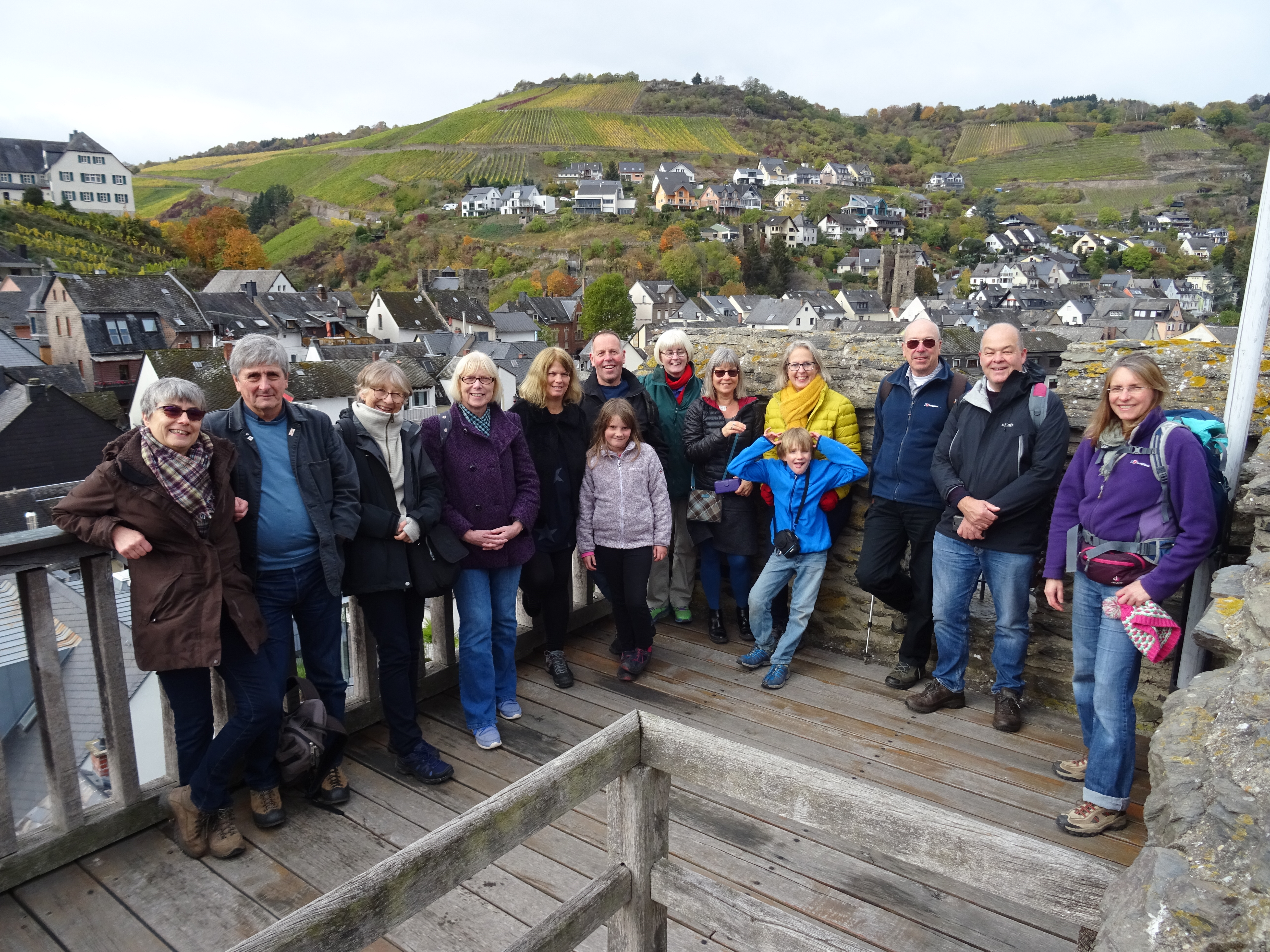
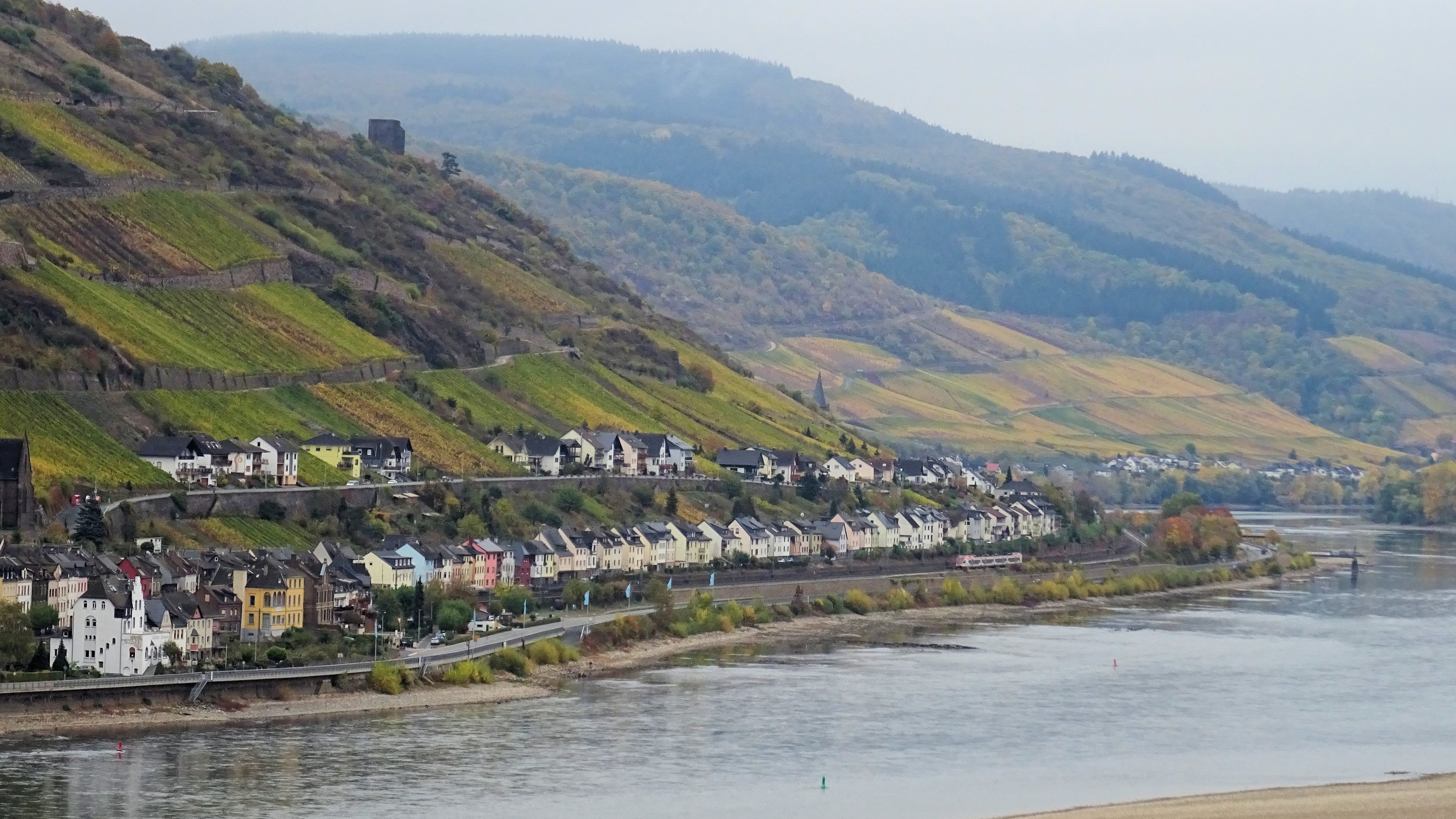
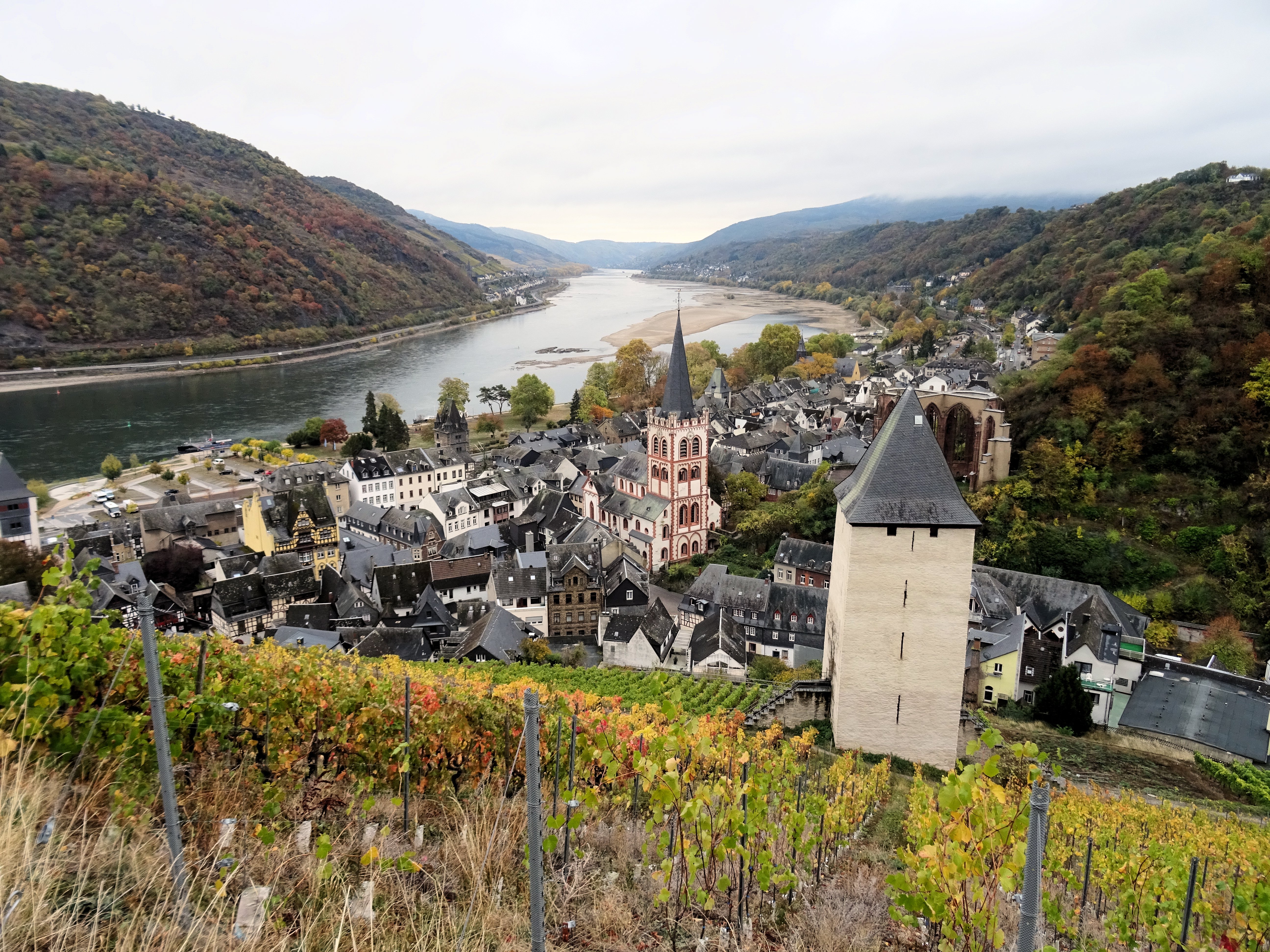
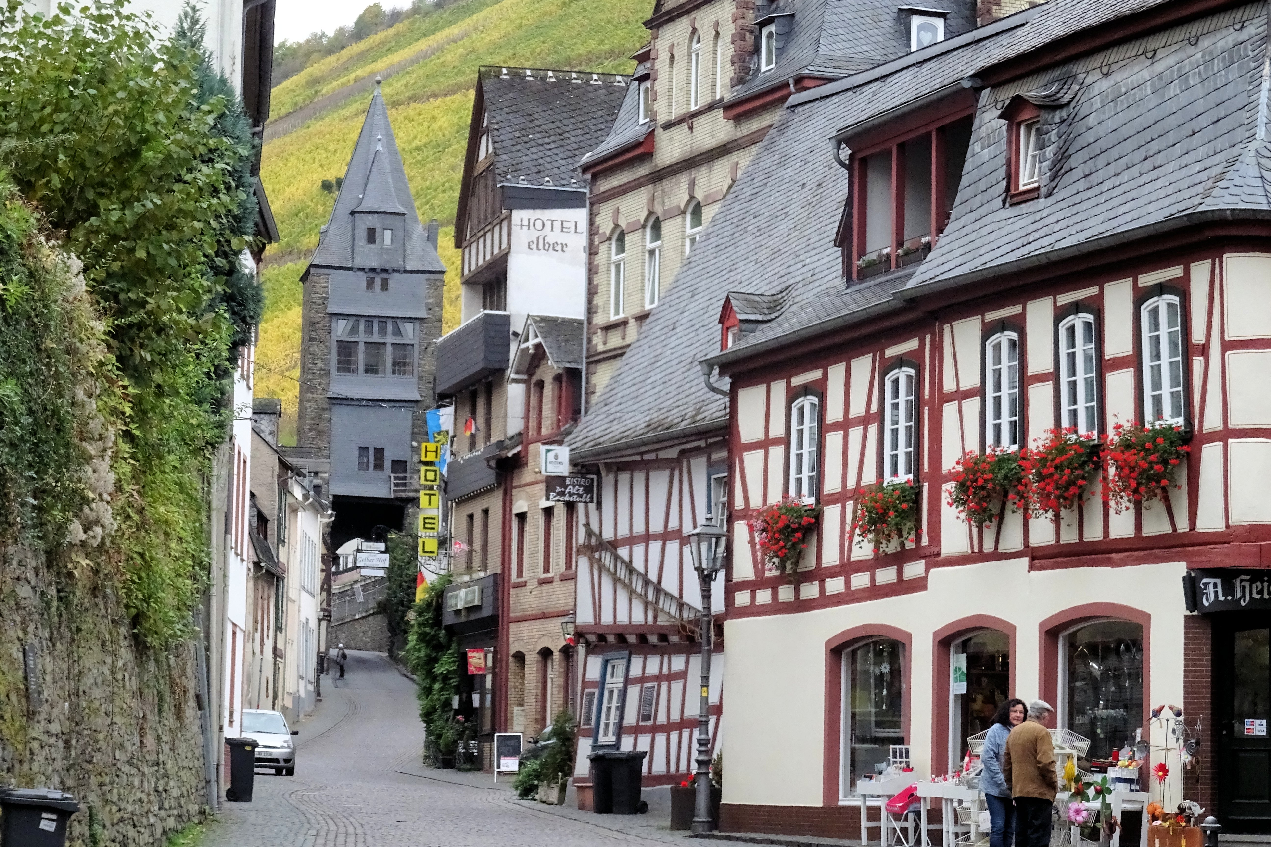
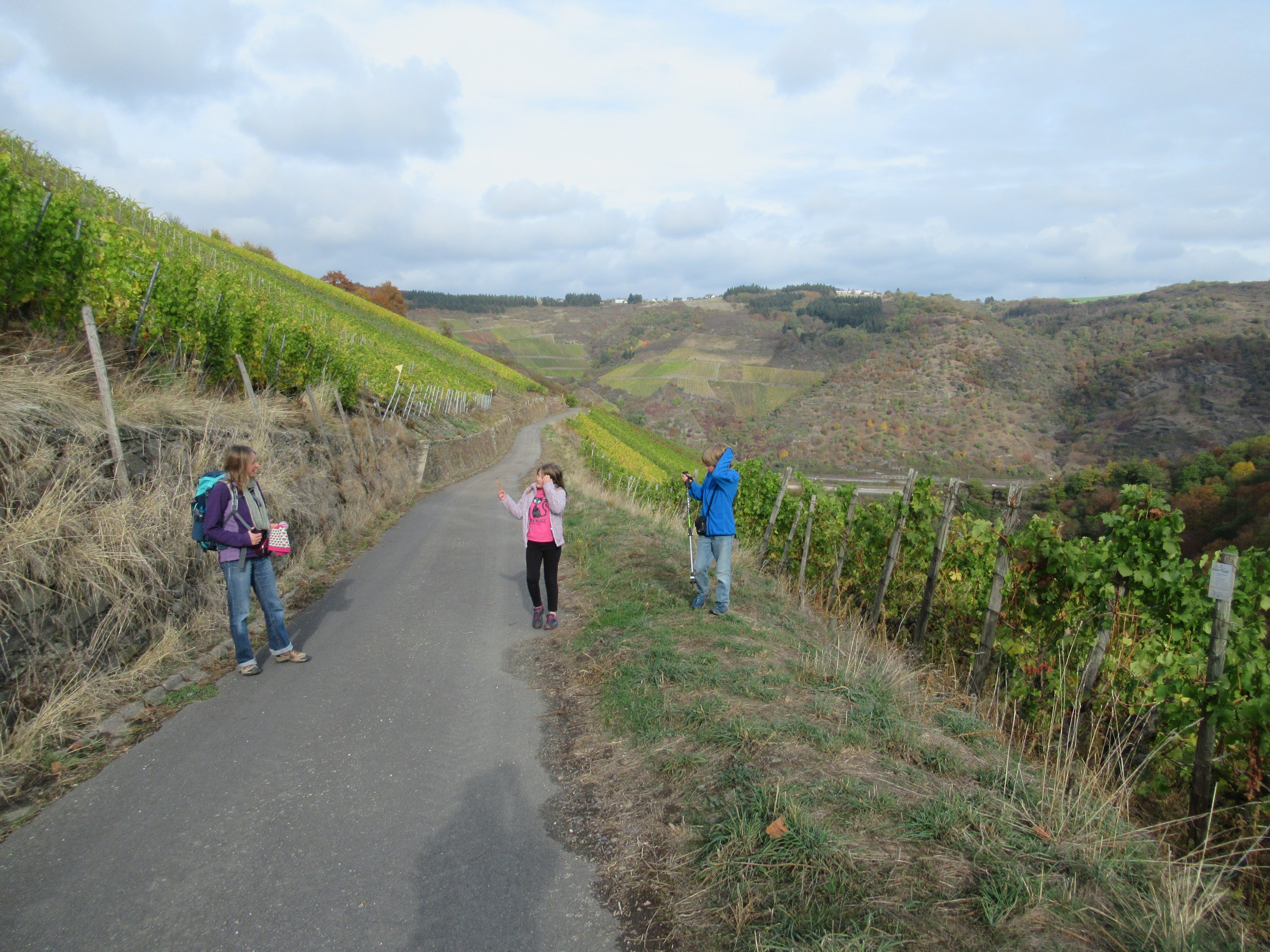
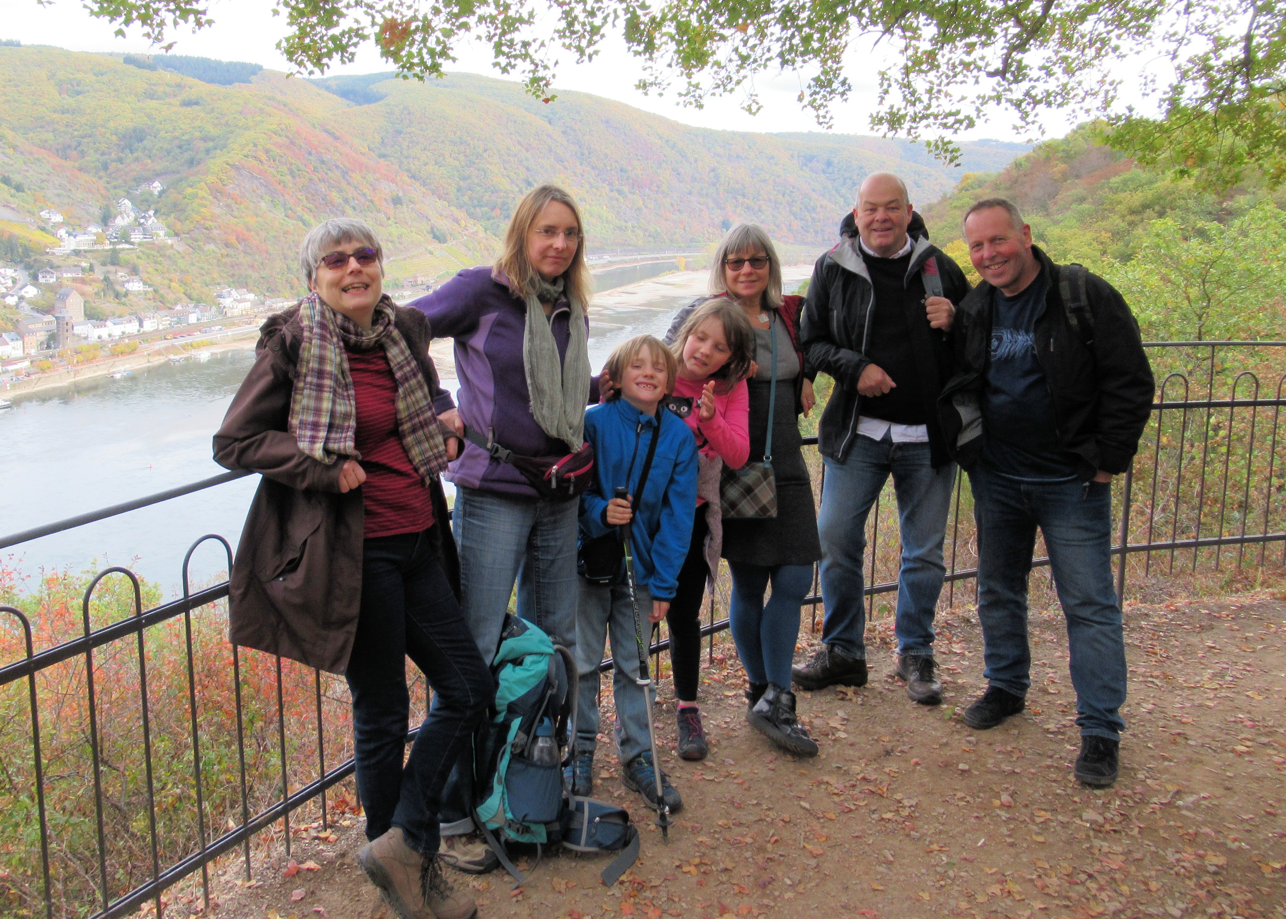
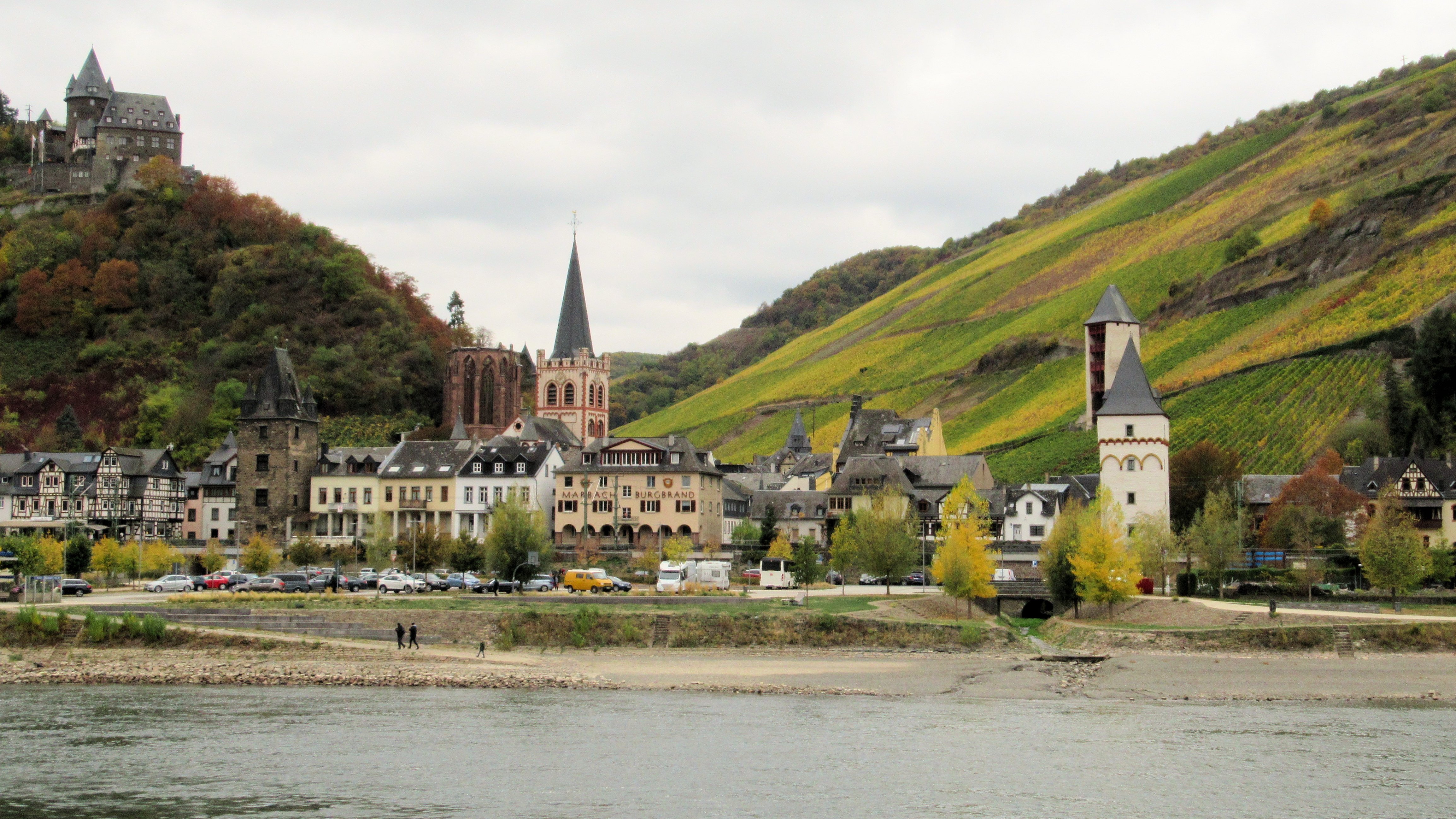
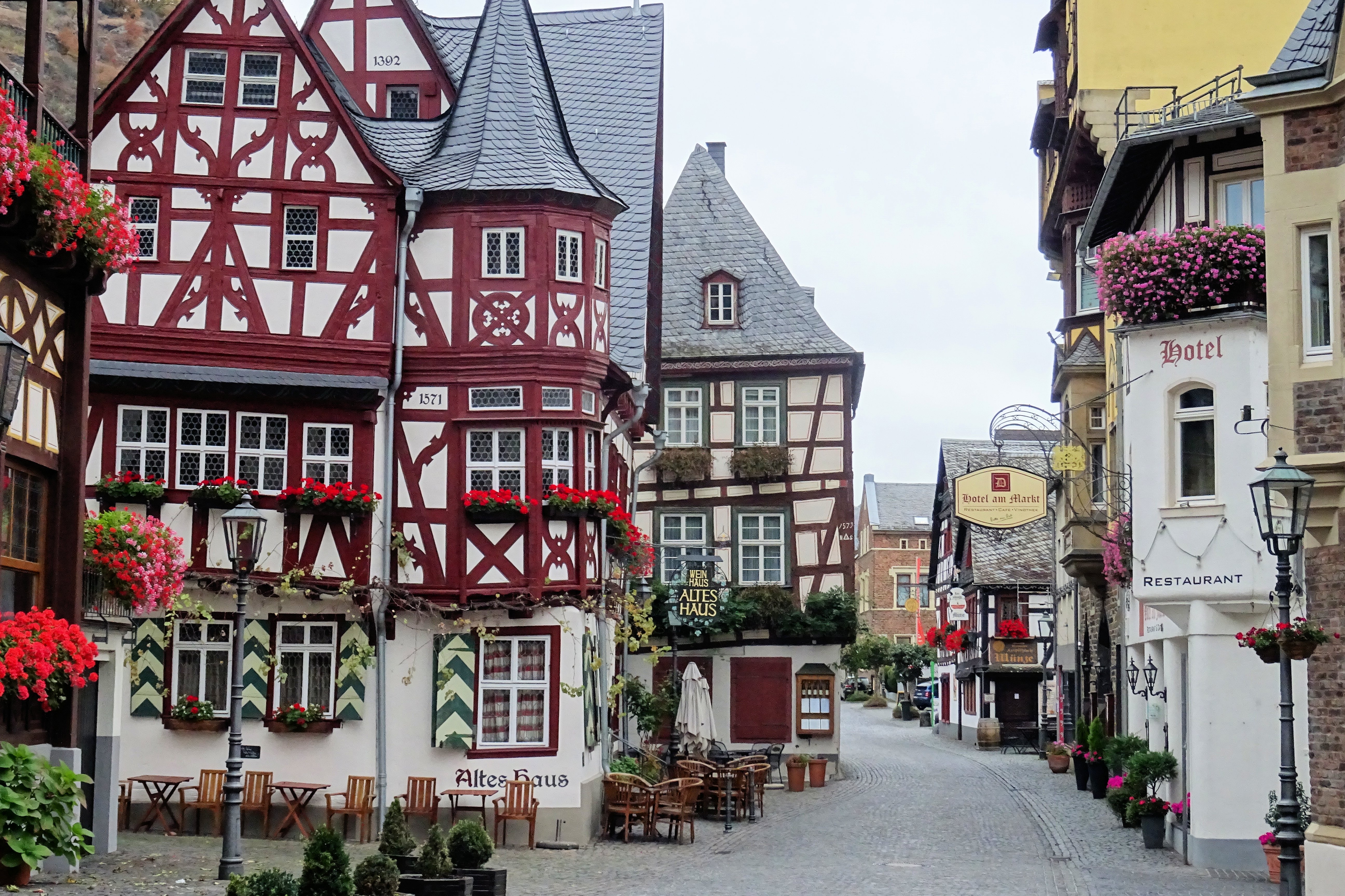
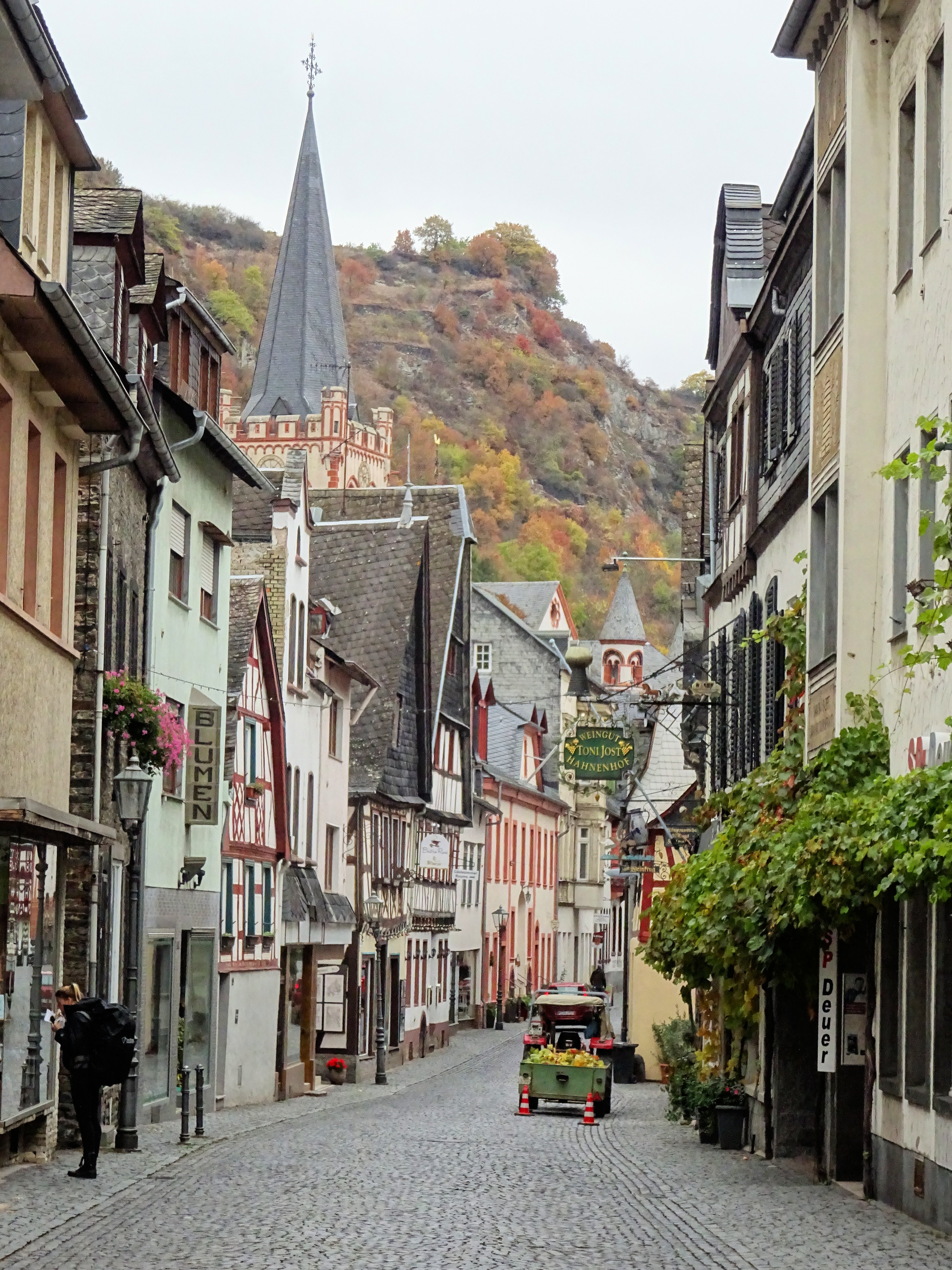
In 2018, some 25 years after I left Nepal, I persuaded a core group of diehards to come over to Germany to spend time in the delightful wine village of Bacharach on the Middle Rhine for a weekend of Riesling, German Beer and Bratwurst.  We hiked through the vineyards along the Rhine, visited castles, went on a cruise and generally had a ball, reflecting on days gone by. Here are a few photos from the weekend. I look forward to the next chapter of the story. Perhaps one day soon we’ll be meeting up in Kathmandu again…

DSC01583

DSC01588

And 25 years previously…

Posted in History & Culture, In Europe | Tagged , , , , , | Leave a comment

Langtang – Paradise Changed

There are some natural events which are on a scale beyond our ability to comprehend. The 2015 earthquake in Nepal was undoubtedly one of these events. The Langtang Valley in Central Nepal, located just 50km to the North of the capital Kathmandu, was one of the worst affected places. Settlements along the Valley were devastated, particularly the village of Langtang itself, where the destruction was almost complete – the result of a huge landslide of rock and ice which poured down mercilessly from the mountainside high above.

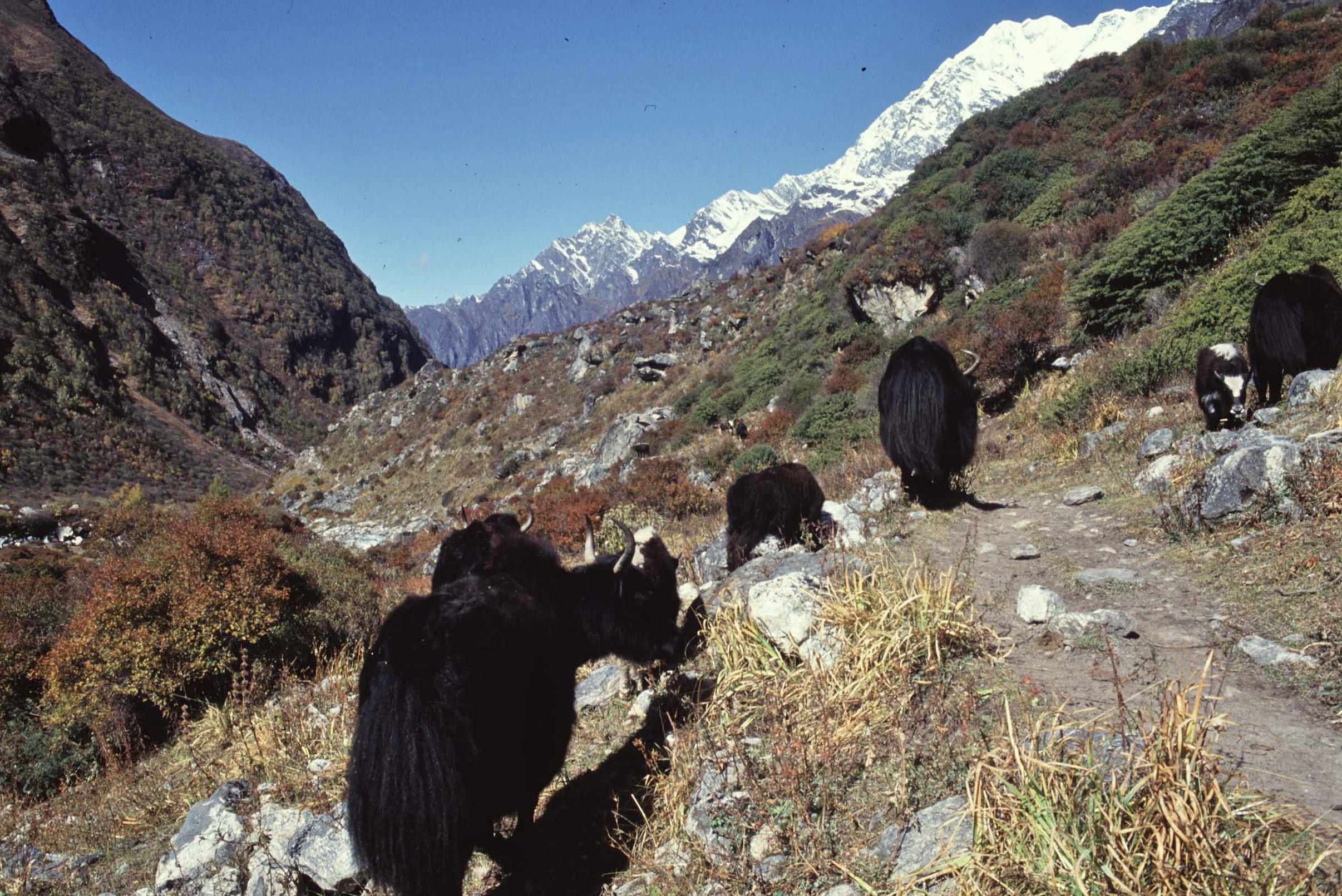
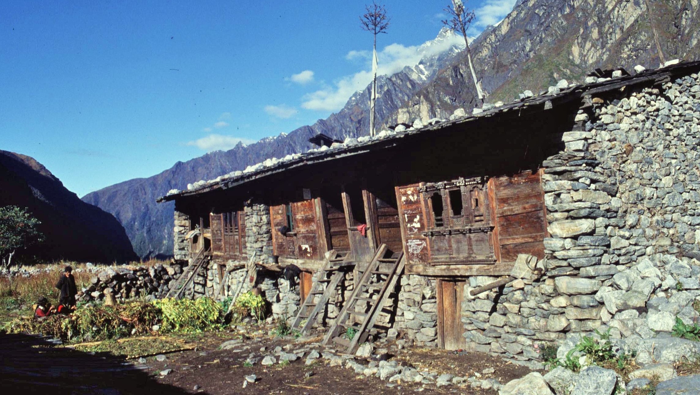
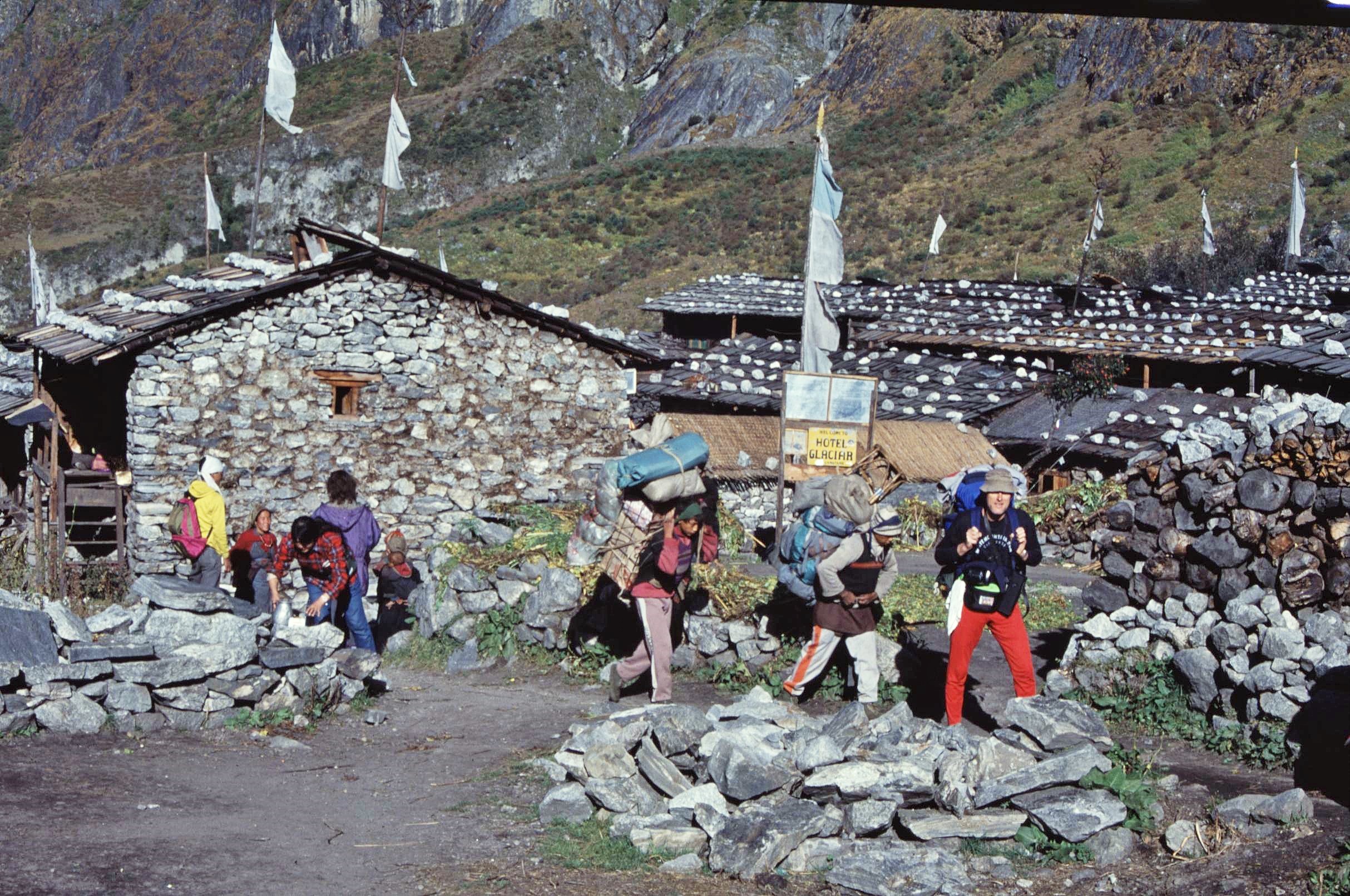
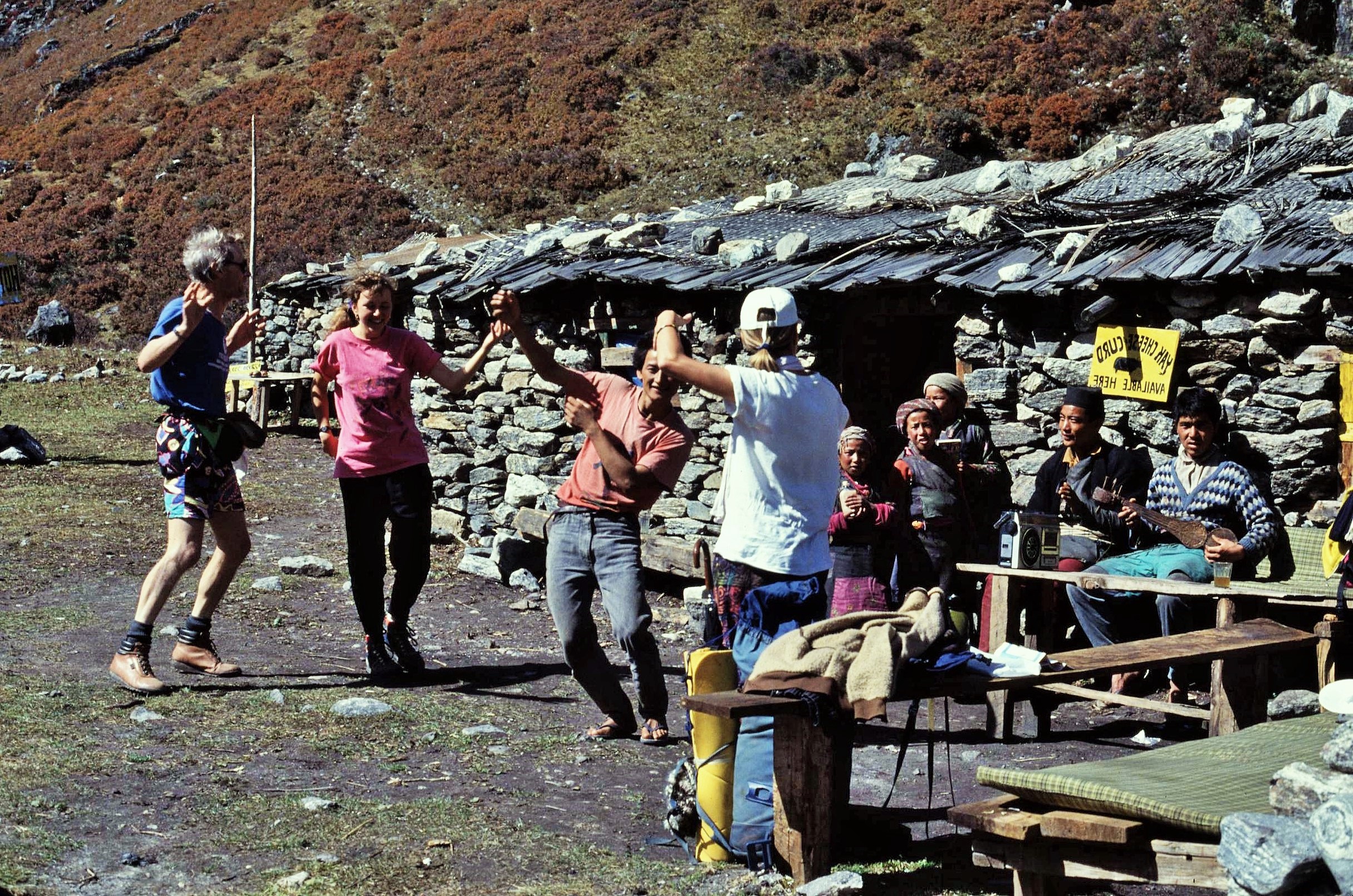
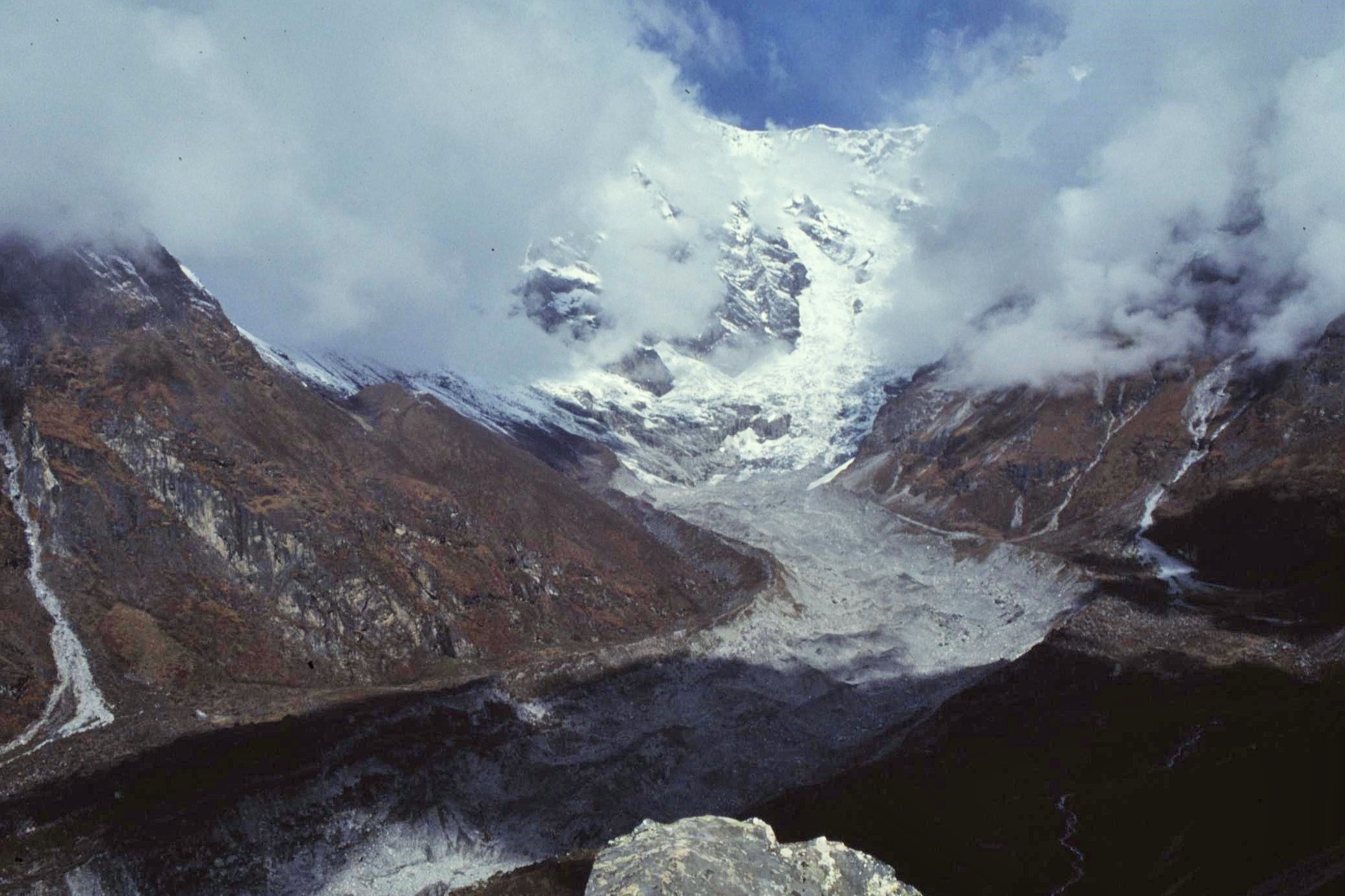
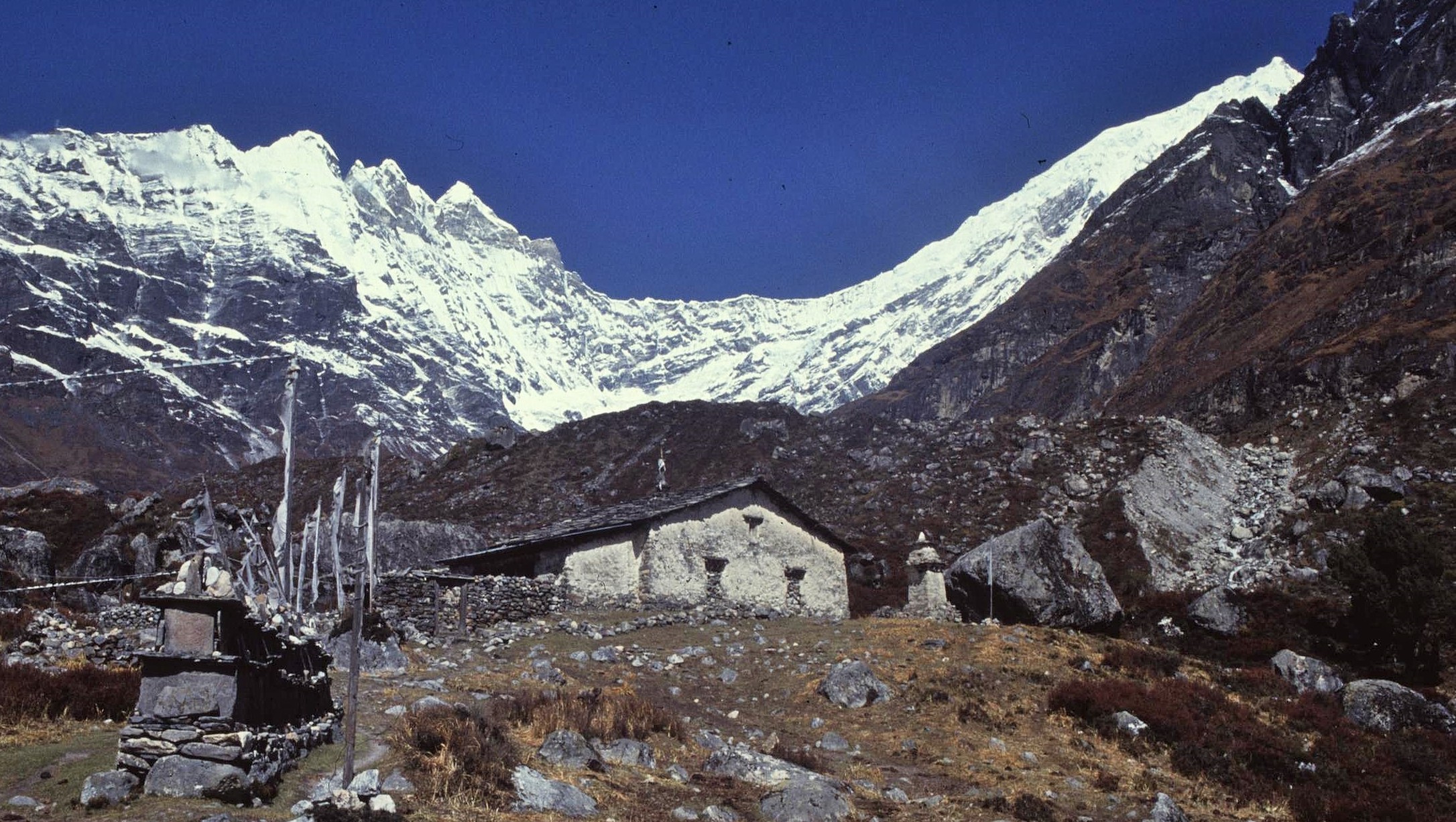
My memories of the Langtang Valley are very different from this however. Almost 25 years before the earthquake, I made a trek up the Valley with a couple of friends from the UK. We also bumped into another British trekker en route, who joined us for most of the journey. I remember a beautiful, unspoiled valley with laid-back inhabitants, intense colours and the laughter of cheeky children drifting across the landscape from rustic village houses.

2021-01-17-20-02-004

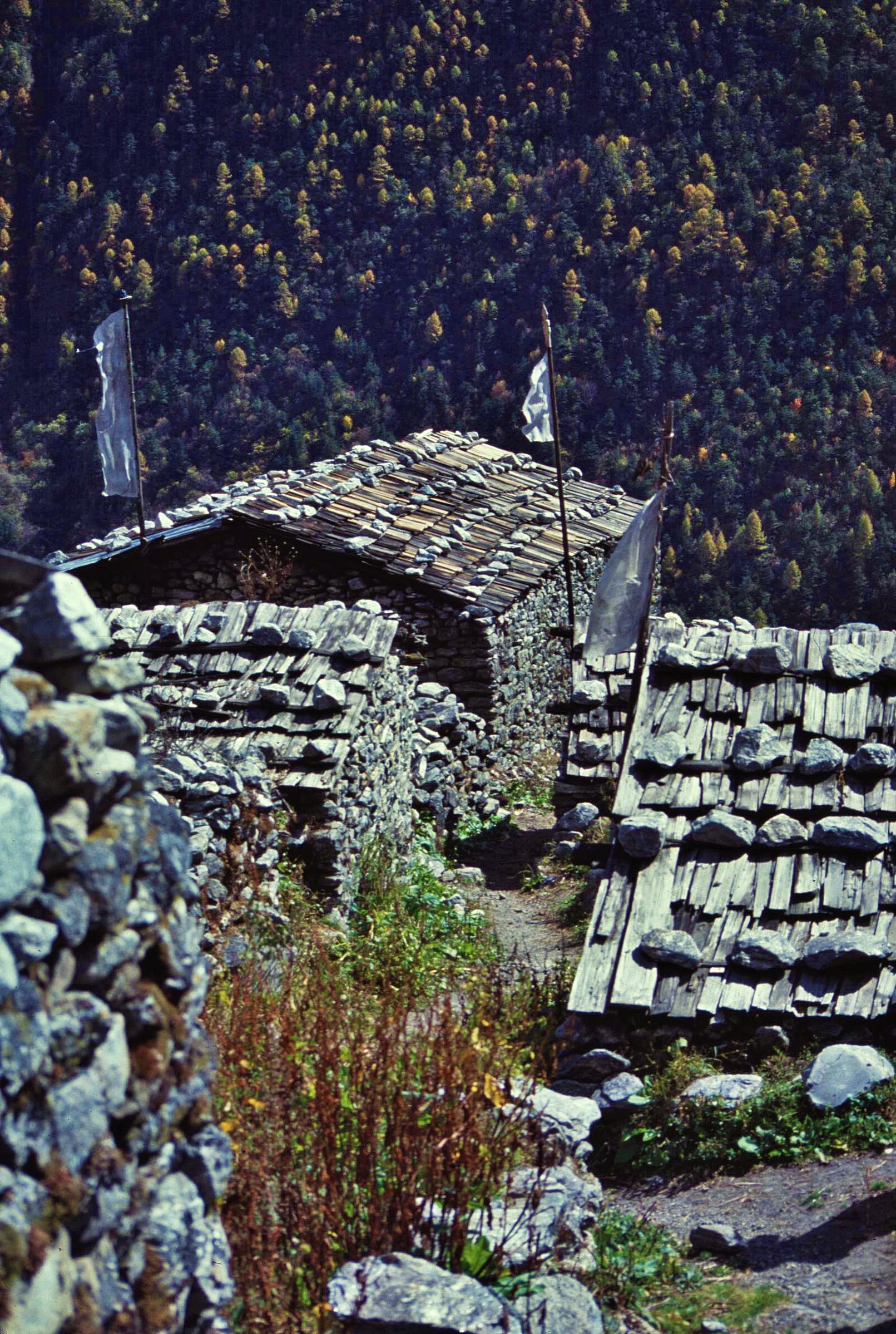
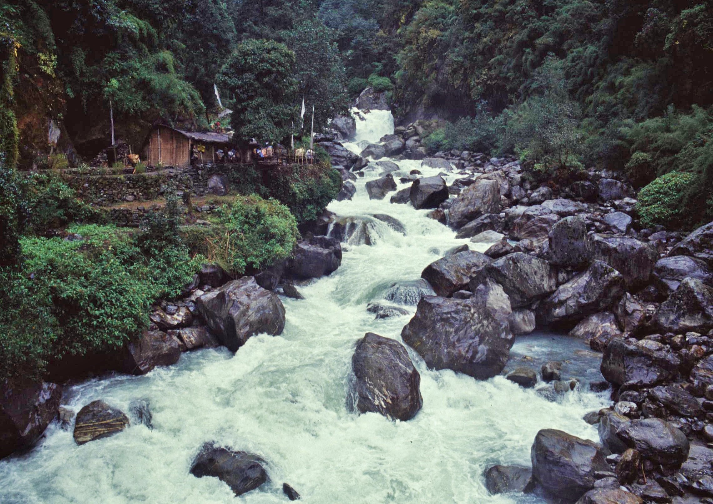
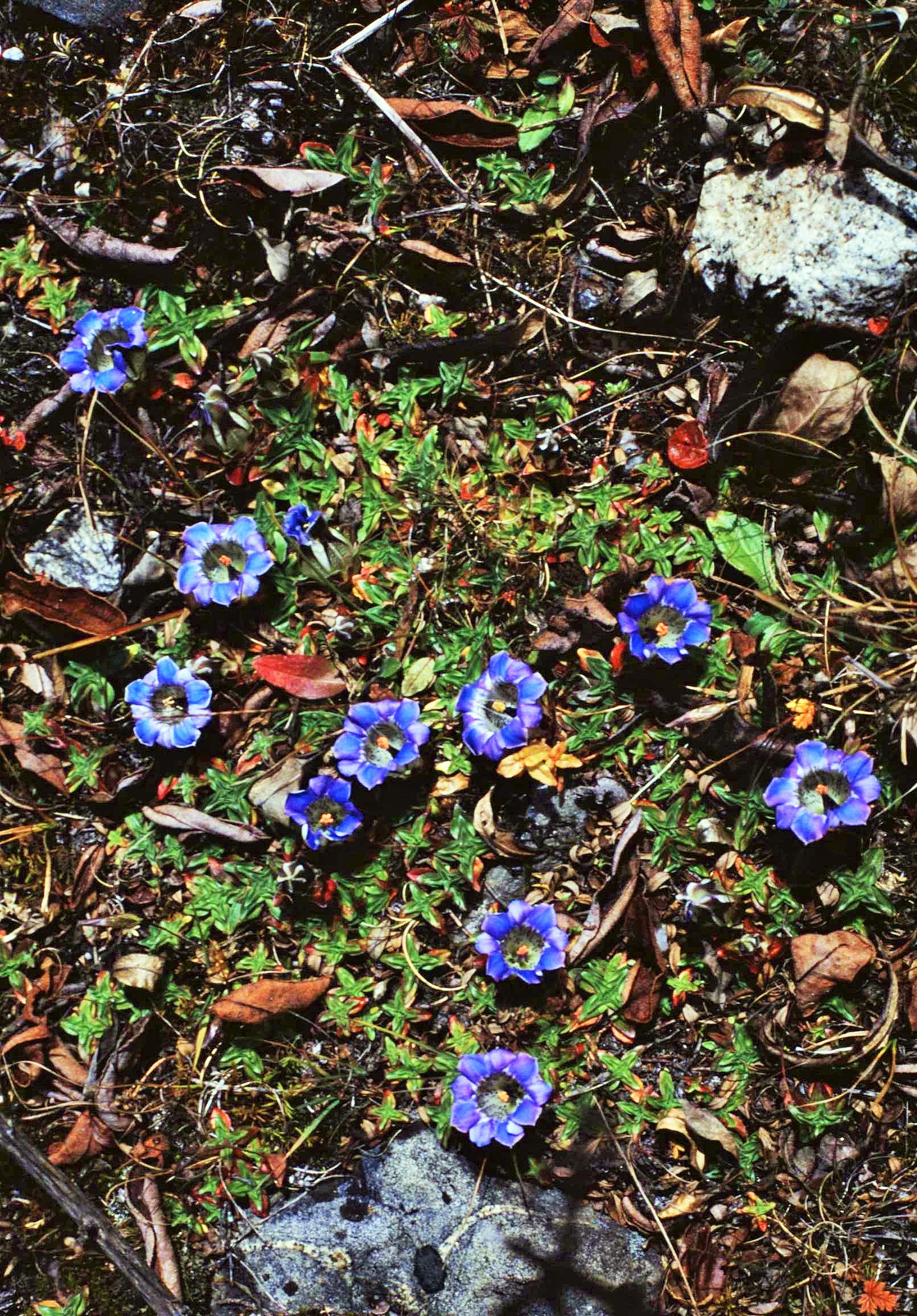
The photos here give an impression of our happy trek. I consciously haven’t given much of a commentary here, however the photos generally follow a logical sequence from the start of the trek at at Syabrubesi to Langsisa Kharka the foot of the Langtang glacier, where we camped for a couple of days – well beyond the highest lodge accommodation in the valley.

2021-02-10-20-55-002

2021-02-10-21-25-001

2021-02-10-20-58-003

2021-02-10-20-58-004

2021-02-10-20-58-002

2021-02-10-20-55-004

Although these photos were from almost 30 years ago now, it seems like it could have just been yesterday !

Back to the present and it’s clear that no-one can underestimate the trauma caused by the quake and the tragic loss of life – however it has not been my intention to dwell on these aspects here. It’s my sincere belief that the resilient people of Langtang will rebuild what has been lost – already this is happening and life is being restored to these fragile mountain communities.

The Langtang Valley remains a beautiful place amidst stunning mountain scenery – I’m sure the locals will appreciate your visit to help them to rebuild their mountain paradise. Although the valley has changed, it has not been lost forever…

Langtang

For background on the impact of the earthquake on the Langtang Valley, a very detailed account can be found on the blog site of mountaineer Mark Horrell:

https://www.markhorrell.com/blog/2017/the-fate-of-langtang-village-two-years-after-the-nepal-earthquake/

Posted in History & Culture, Mountain Treks, Wild Places, World | Tagged , , , , , , | Leave a comment

Highs and Lows on the Annapurna Circuit

Sometimes you just have to grab the opportunities out there when you have the chance. That was very much my mindset when I boarded a less-than-luxurious “tourist” bus from Kathmandu bus bound for Pokhara, in the autumn of 1993 and with the aim of “doing” the Annapurna Circuit. I’d more or less finished my 2 year stint as a volunteer working in natural resources management with VSO in Nepal – now it was time to see a bit more of the country before the stark realities of departing back to life in the UK.

The Annapurna Circuit is often regarded as one of the World’s classic treks;  the route passes through 160–230 km (depending on your start point) of incredibly diverse terrain through the mountain ranges of Central Nepal. It circumnavigates the mighty massif of the Annapurnas itself and follows two major river valleys; the Marsyangdi – which leads towards Upper Manang-  and the Kali Gandaki, which flows through the deepest gorge in the World between the towering 8000m ranges of Annapurna and Daulagiri. The Region was first opened to foreign trekkers in 1977 after ongoing border disputes were settled.

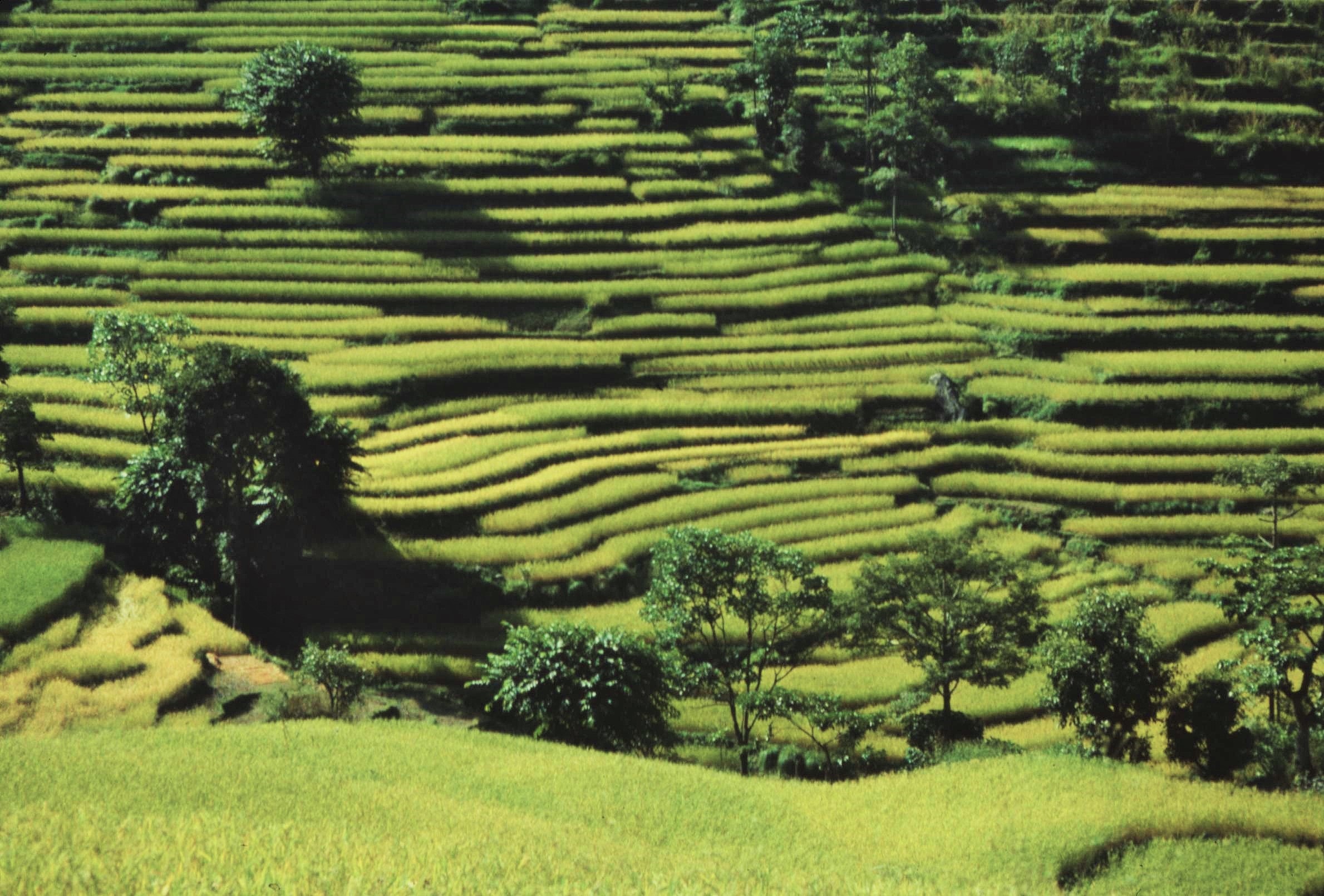
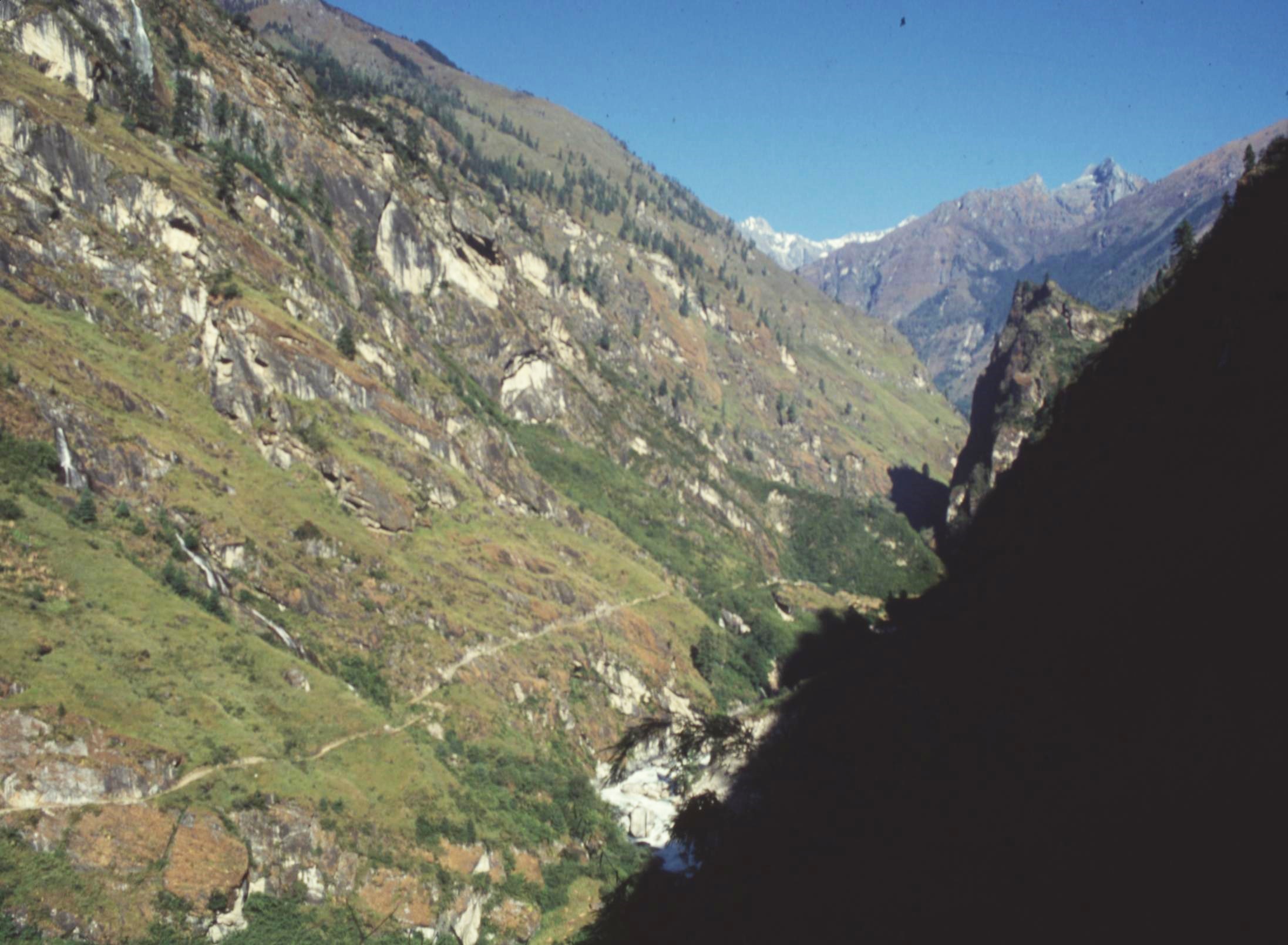
The route combines diverse climatic zones, ranging from subtropical forests at just 600 m above sea level, to high mountain terrain close to the snow line, reaching its highest point at the Thorung La Pass (5416m/17769 ft), a desolate and windswept col on the edge of the Tibetan Plateau. It passes from a landscape of lush green rice paddies through to arid, semi desert areas in the rain shadow of the peaks. The Circuit also encompasses huge cultural diversity, from Hindu villages in the low foothills, to the Tibetan cultures of the Manang Valley and lower Mustang area.

I got off the bus at Dumre on the main Kathmandu to Pokhara highway and then found local transport to Besisahar, aboard some decomposing Former Russian army jeep which served as a taxi. Bus travel in Nepal isn’t so much fun; buses are usually crammed to the brim with people, chickens and goats and lurch dangerously around blind corners, the driver continuously sounding his horn whilst swerving to avoid oncoming vehicles (& seemingly oblivious the abyss below).

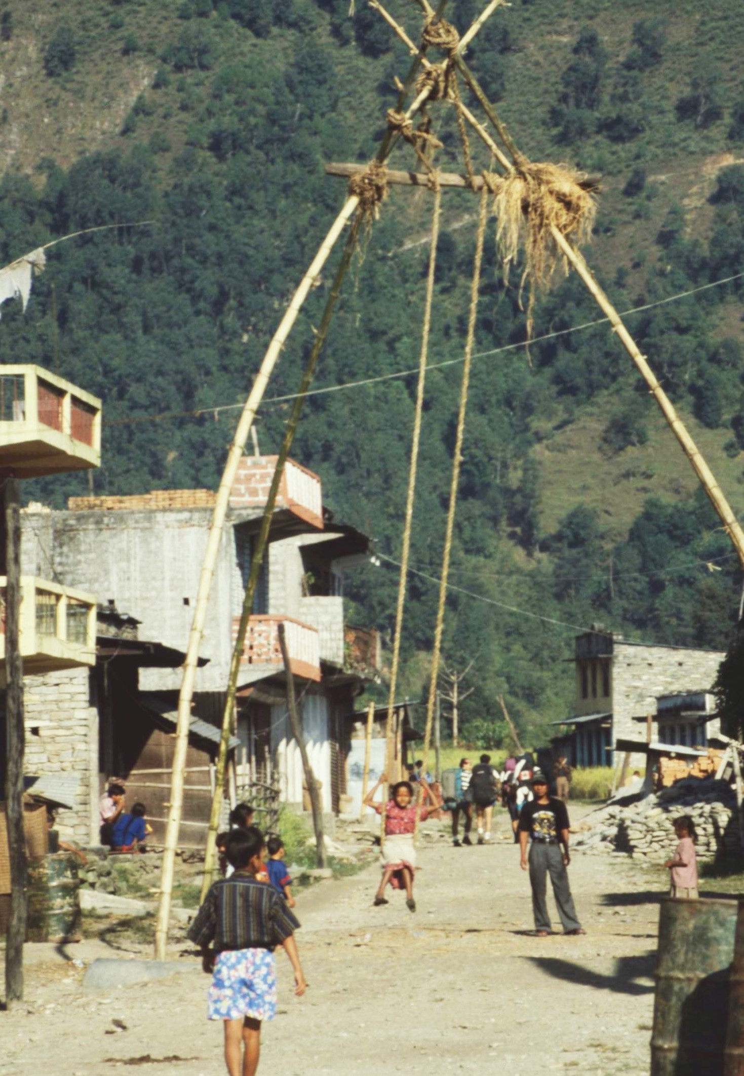
Fortunately, my journey went relatively smoothly on this occasion. When I reached Besisahar, the local kids were having fun playing on a giant swing, specially set up for the Dashain festival.  This looked great fun and I was even persuaded to to join in and have a shot on the swing myself. Perhaps this is the closest that the kids in Nepal really get to experiencing a theme park.

My plan was to pick up the trail from Besisahar in the Marshyangdi River Valley and to continue from there right around the Annapurna Massif to the end point, via Poon Hill to Phedi near Pokhara. As I’d been living in Nepal already and hiking extensively around the Solu Khumbu region through my job as a community forester, I felt confident to undertake the trek by myself.

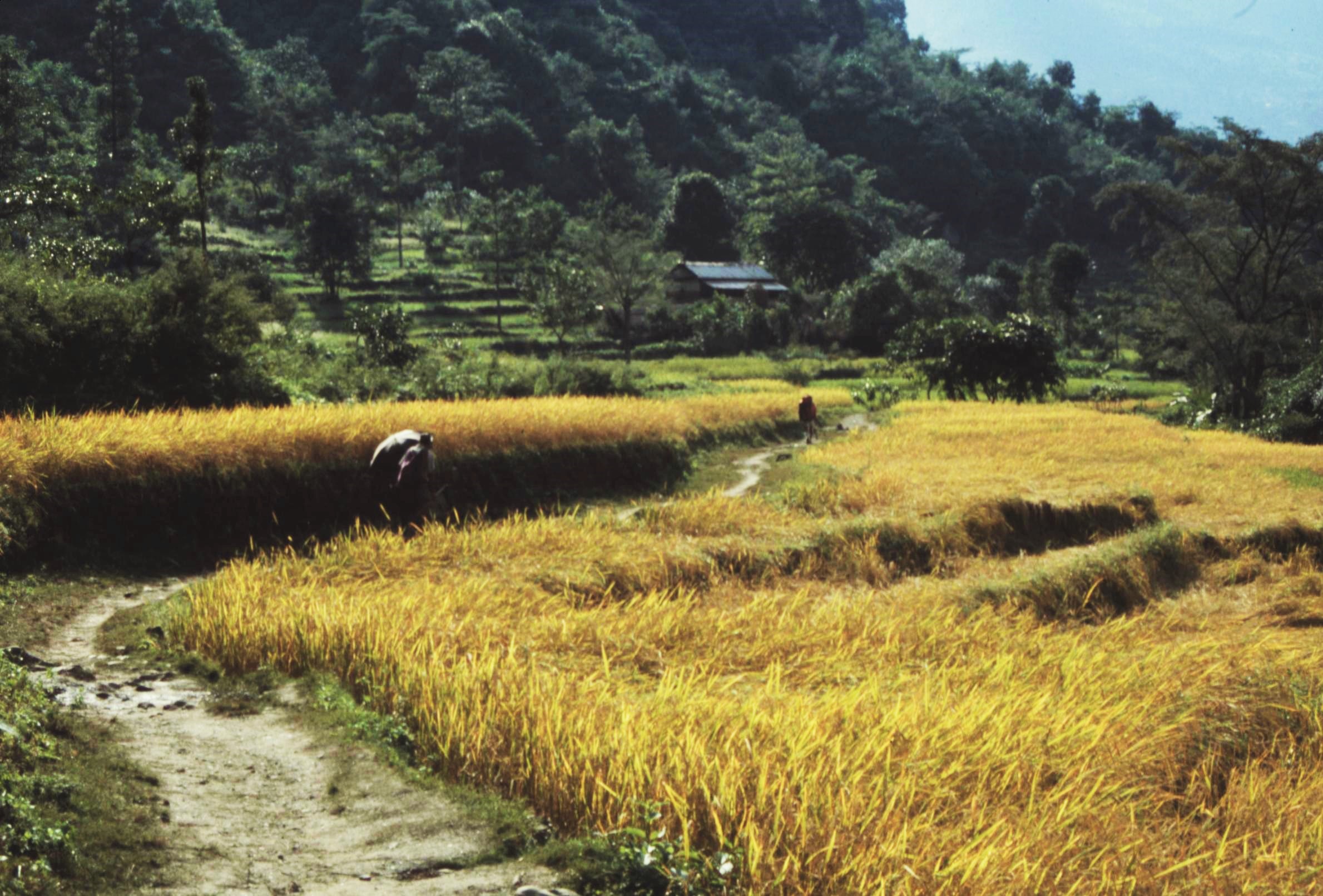
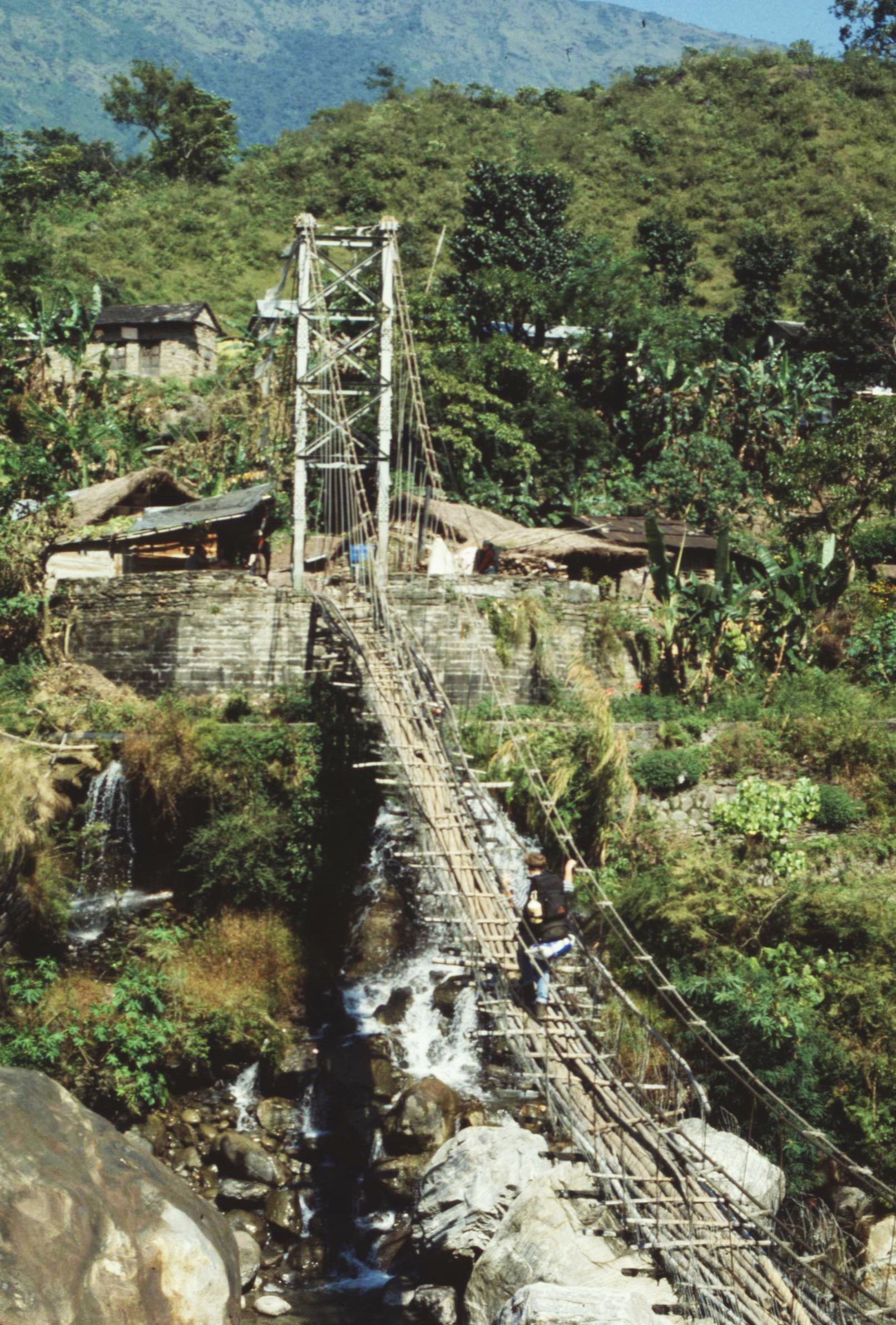
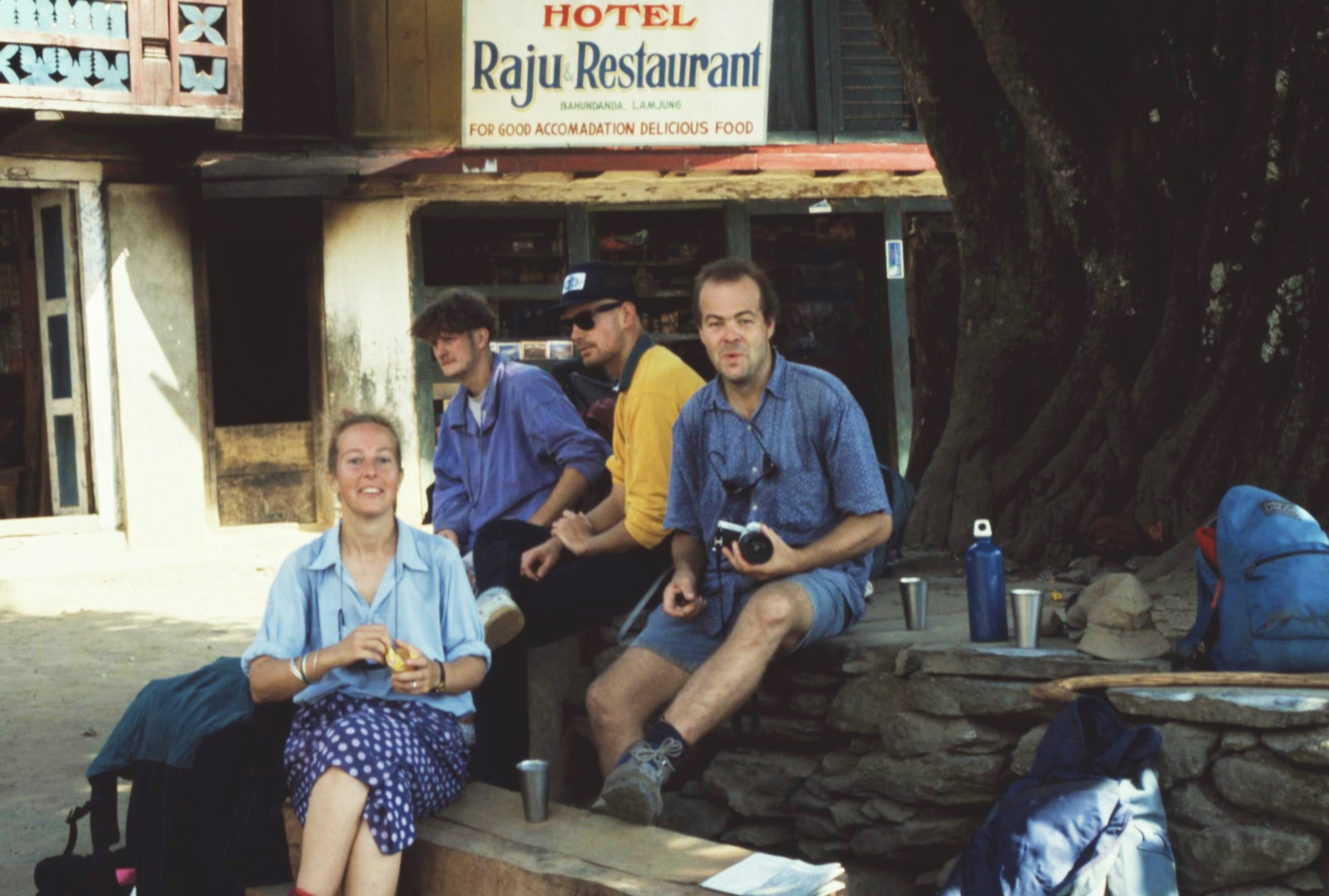
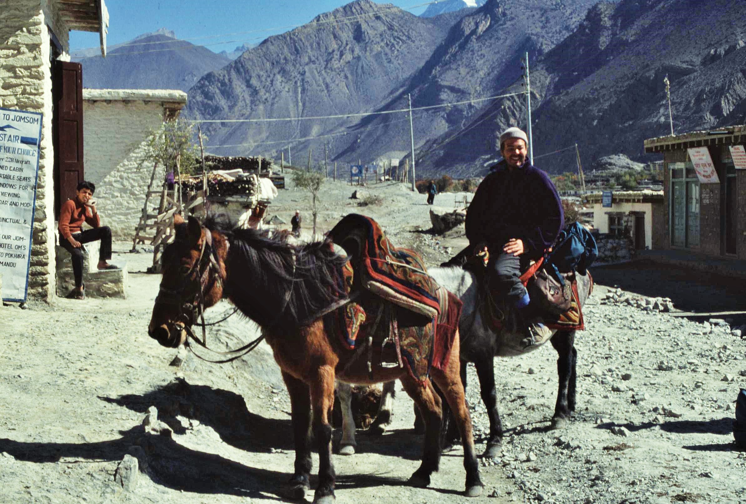
The route was well provisioned with small guest lodges and tea houses along it’s entirety and given the relatively social nature of tea house culture, it seemed highly likely that I would encounter other people on route to chat to – and to potentially tag along with for sections of the trail. Little did I know, that in the end things wouldn’t work out quite the way that I’d planned.

The landscape during the first day or two of the trek is a relatively gentle one. Irrigated rice terraces near the start of the trek were a brilliant vibrant green and gold as I made my way along the Marshyangdi Valley. This is the most popular hiking season in Nepal, when due to the recent monsoons, everything along the circuit is refreshed, clean and vibrant. Views are usually good and the night sky is extremely clear. Though the weather is generally warm, nighttime temperatures can drop below freezing however, especially on the higher parts of the trail.

It’s always interesting to look at some of the “excess baggage” being transported along the trail. In those days it was perfectly normal to get stuck behind porters carrying unfeasibly large loads on their backs, using only a headband to provide the required leverage – it must have been backbreaking. Loads that I spotted included office furniture, supplies of beer and toilet roll and in one instance, a kayak. The longsuffering porters, clad often just in flip flops, had to negotiate all sorts of obstacles en route, including wobbly bridges, exposed rocks and even ice and snow – often trekkers who hired porters, didn’t bother to equip them with the right clothing for the conditions. Nowadays, by contrast, many goods are brought in by vehicles.

With hindsight, I feel very lucky to have undertaken this trek at a time when the route was relatively underdeveloped compared with the present day. At that time, in the early 1990s, the trek was an epic 3 weeks of entirely road-less terrain, following traditional routes used by traders. In recent years however, continuing road construction projects have shortened the trail considerably and changed the character of the villages along the route.

The Besisahar-Manang road, described by some as the “most dangerous road in the world” (because of it’s precipitous drops, rough surface and propensity to landslides), closely follows the trekking route for much of the time. All this road development has had impact of drastically reducing the total distance of the trek; it now being theoretically possible to circumnavigate the range with only 3 full days spent on foot, between Manang and Muktinath.

Further up the Marshyangdi, the valley sides start to close in, the trail becomes steeper and the scenery increasingly wilder. I was enjoying the trip, but perhaps, I’d just become a little too complacent about trekking in Nepal – one moment I was happily hiking along, singing a little ditty to myself, in the next, I was tumbling down the bank and heading for oblivion, after tripping over some unknown object.

Fortunately, I rolled ungracefully to a halt before the slope got too steep to prevent a freefall to the river below. I emerged back on the path, bruised and bloodied, but still luckily still mobile – it could have been a lot worse, if I’d carried on sliding ! Maybe trekking alone wasn’t such good fun after all.

I limped on to the next village, nursing my wounds and cursing misfortune. As I entered the village, the idea of a beer very much on my mind, I couldn’t help but notice two very familiar looking figures sitting on a travelers’ rest platform, in the shade of a huge fig tree – it was fellow VSOs Keith and Louisa.

We exchanged pleasantries – the couple, whilst seemingly not quite ecstatic to bump into me, weren’t openly hostile either and soon warmed to my travelers’ tales of woe, involving rolling down mountain sides (either that or they just felt sorry for an unfortunate incompetent !). Anyway, we swapped plans and suggested that maybe we should all team up for a day or two; safety in numbers after all (especially as I seemed to be rather accident prone on this trip) !

And so it was that we set out together the next day – then the next… and the next… and so on. It was certainly good to have some light hearted banter and good company on the trail, even though the occasional “domestics” and the pleasure of listening to heated discussions about the relative hygiene practices of cats vs. dogs could sometimes wear a bit thin. However in general, it seemed better to be “team” than not.


This was a beautiful part of the trail, the vistas opening out and becoming ever more spectacular each day, providing tantalizing views of the high peaks of the Annapurna. We passed wayside chortens (small Buddhist stupas) and mani walls bedecked with spinning prayer wheels, a sure sign that we were now moving into areas of more Tibetan cultural influence. Quite often we’d find ourselves stuck in “traffic jams” – convoys of mules or horses transporting goods up to the Manang Valley or occasional flocks of sheep or goats heading in the opposite direction. Nowadays, the “road” (albeit a rough jeep track) now reaches as far Chamje close to the Manang Valley and so maybe these mule trains are now a thing of the past.

A quite  amazing geological feature close to the Upper Manang is the Paungda Danda. This amazing mountain is notable for its western rock face that rises dramatically 1,500 m above the Marshyangdi River. The mountain’s vast and smooth western face is known as the “Great Wall of Pisang”. It is composed of slate rock and formed as a result of an ancient lakebed being uplifted during the creation of the Himalayas. The Paungda Danda is also referred to locally as “Swarga Dwar”, or Gates to Heaven. Local people believe that the spirits of the dead must ascend the wall to reach the heavens.

Not far from Paungda Danda, the trail diverges, the main route following the main Manang Valley, with a high level variation via Pisang, Ghyaru and Ngawal to Manang. This latter option is highly recommended, as the views are spectacular and the two villages encountered en route are amongst the best-preserved Tibetan style villages remaining in the region. Traditionally, the inhabitants were international traders between India and Tibet. The flat roofs here are and indication of how arid climate is here, being located in the rain shadow of the Annapurnas. Staying overnight in these villages can also help with acclimatization, particularly useful later for crossing the Thorong La Pass.

The trail also passes by the sublime Mring Taal lake, as it meanders along the valley side, clinging to the slopes. The lake itself can only be described as a little glimpse of heaven; its wonderful aqua marine water perfectly mirroring the surrounding greeny-blue of the pines and the mighty snowfields of the majestic peaks behind.

.

The villages of Ghyaru and Ngawal were fascinating places to spend time, ancient and timeless places with an almost medieval atmosphere about them – a veritable maze of winding passageways and descending vertical ladders providing access to the thick walled stone houses. These were packed tightly together to maximize efficient use of the sparse natural resources in the area and to offer protection from the harsh climate and biting winds here. We also found some really great places to simply chill out. One such teashop had a terrace with the most fantastic view out over the valley, somehow reminiscent of a Swiss mountain hut. We even encountered a friendly native of Switzerland hanging out there – just to complete the picture.

Close to Manang itself, the Bhakra Monastery near to Braga proved a fascinating and worthwhile stopover. The ancient Buddhist monastery is perched high upon a rocky spur, overlooking the village and blending so perfectly into the surrounding geology. We went to meet the resident lama of the gompa who appeared to do a roaring trade, blessing travelers about to cross over the 5,400m Thorong La into the Kali Gandaki valley beyond.

And so we arrived in Manang, seemingly a metropolis after the small villages which we’d been passing through the last couple of days. Nowadays Manang has changed character significantly due to increasing accessibility. It’s a mecca for gourmet fans of western food, including apple cake, pizza and muffins galore. Unlike in the early 90s you can now find plush lodges offering wireless broadband, shopping opportunities and “wellness” facilities – all a far cry from traditional notions of Himalayan trekking.

Different types of tourism are also developing. Manang, like the Mustang area is now becoming one of the world’s most popular mountain biking destinations.  Those heading over the Thorong La, often spend a few days around Manang for acclimatization purposes. A popular side trip is to walk to, the once remote, Tilicho Lake. There are now lodges there at the so-called Tilicho Base Camp.

It’s a three day hike over the 5,400m Thorung La Pass to reach the sacred Hindu pilgrimage place of Muktinath, located high above the Kali Gandaki valley.  Although crossing the pass normally goes without incident, the trip should not be underestimated. The climb from Manang is a gradual one, however, the altitude is extreme leading to shortness of breath for the unfit and unacclimatized.

The summit of the col is an exposed and uninviting place in bad weather, just short of the snow line. In October 2014, a sudden blizzard killed over 43 people, many of them Nepalese.  It was caused by cyclone which had ravaged the eastern coast of India. In reality, there were about 350 hikers caught in the unexpected blizzard.

After what seemed like a never ending ascent, it was a great feeling to stand at the summit of the Thorong La pass and to be able to look down into the Kali Gandaki Valley and across towards peaks of the Daulagiri Range. From there it was all downhill towards Muktinath and to our destination, the small village of Kagbeni, nestled far off in the valley down below.

Heading down we passed the pilgrimage site of Muktinath, sacred to Hindus. I stopped only briefly here however, though it would have been tempting to linger and look around. I was beginning to feel somewhat queasy, which was possibly an affect of altitude. It seemed that the best thing would be to lose as much height as possible and as quickly as possible.

Like a scene from Middle Earth, I passed the dramatic hilltop village of Jharkot, somehow reminiscent of Tolkien’s “Edoras”, set starkly amidst the arid semi-desert terrain. Keith and Louisa in the meantime were taking their time on the descent and enjoying the sights on the way, whilst I just wanted to get to the bottom.

Nowadays, there is a tarmacked road to Muktinath from Jomosom in the Kali Gandaki. Since 2011, companies in Muktinath have rented out mountain bikes to tourists allowing a much faster descent than we were able to enjoy. Apparently, the road sees little traffic, and so you can effortlessly breeze downhill from Muktinath to Tatopani, descending almost 3000 meters in 2–3 days. In 1993, though I definitely wasn’t breezing.

As I at last reached the one-horse town of Kagbeni in the valley, I started to feel really ill, with a headache and a temperature. I waited for Keith and Louisa and we checked into a lodge, which with hindsight could have been accommodation straight out of “Game of Thrones”.

Kagbeni felt like the end of the earth, being somewhere on the way to the Forbidden Kingdom of Mustang – a sort of place where “Dr Who” meets “High Plains Drifter”. On reaching the accommodation, I completely flaked out and proceeded to spent the next few days in bed with a high fever and periodic hallucinations.

It was indeed a quite surreal few days all in all; Keith and Louisa, concerned for my wellbeing summoned a local “doctor” of sorts, who recited a few incantations and chucked grains of rice over me. He also gave me bright red tablets to swallow, which was probably more helpful in the end. Disturbingly, there was also a cult group of Swiss new age style “monks” sharing the place with us. They’d created their very own spooky religion of sorts. This required the donning of sinister-looking sackcloth robes and walking about the place after dark chanting and carrying candles.

To make matters worse, one of the “monks” (the spookiest one) was blind-folded and also had his hands bound tightly together with a thick hemp rope, the end of which was held by his cohorts – apparently so that he could focus upon powerful “natural forces” and thereby guide his comrades to Mother Earth’s “Sacred Centre of Energy” (that’s what they told us at any rate !).

After a few days of the chanting monks, I think we’d all had quite enough and were starting to get a bit pissed off with the company and surroundings of Kagbeni. Time was also moving on and Keith and Louisa were due back at their VSO posts in  Kathmandu; I had to make arrangements for getting back to the UK. However, walking out wasn’t an option for me at this point. It seemed that I had a bad chest infection, a fever and no energy to speak of whatsoever. Keith and Louisa, however came up with cunning plan of hiring horses to take us all down the valley to Jomosom, from where I would be able to catch a flight out.

And so we set off down the Kali Gandaki, through the deepest gorge in the world, between the 8000 peaks of Dhaulagiri and the Annapurnas. Arriving in Jomosom later that day, we must have looked a rough bunch of despots – especially me and Keith, who were disheveled, sunburned and unshaven; perhaps like some fearsome rebel tribesmen, who’d taken the wrong turning in the Karakorum somewhere.

After unloading our gear in Jomosom, Kieth and Louisa helped me to sort out a few things including booking a flight to Kathmandu scheduled for later that day. We then exchanged pleasant farewells before they departed off on the trail again in the direction of Tatopani, leaving me to wait for the plane to arrive.

I sat by the simple, dirt airstrip for an hour or two before hearing the comforting drone of a turboprop coming into land. The plane circled around before making a final approach followed by a perfect, albeit rather fast, touchdown. I listened to the changing tone of the engines as it disappeared off down towards the end of the runway and out of sight – abruptly to be followed by an almighty screeching, a loud bang and the unmistakable crunch of metal !!  A large cloud of dust appeared low on the horizon, accompanied by the putrid smell of burning rubber.

In the next instance, pandemonium broke out and people were running toward the end of the airfield from all directions. It seemed that the plane had overshot the runway and had fallen down a bank at the end and into in the river below, snapping off a wing in the process. Judging from the commotion, there were clearly injured people (or possibly worse) who were already being carried out from the wreckage by impromptu rescuers.

Snippets of intelligence from the locals suggested that there were some serious causalities from the incident who would need to be taken to hospital in Kathmandu or Pokhara. In the meantime the airport would be closed for some time and all flights cancelled. Suddenly flying didn’t seem a good option to say the least.

Failing any other plan (and not being able to contribute in any other way), I determined to walk out, come hell or high water. Almost without thinking about it, I grabbed my rucksack and set off down the trail in the direction of Tatopani. It was a long, tiring and dusty solo walk along the Kali Gandaki below Jomosom, a constant wind whipping up sand from the largely dríed up river bed. However I persevered and after an hour or two, I started to feel some strength return to keep going.

I soldiered on, eventually reaching Tatopani for nightfall. Keith and Louisa were completely gob-smacked to see me there, limping into the place when they assumed I would now be sitting comfortably in some hotel in downtown Thamel. Tatopani, literally means “hot water”, the place being renowned for it’s thermal springs. It’s also a green and pleasant place, a real oasis after the arid lands to the north, blooming with subtropical greenery in abundance.

I spent an extra day in Tatopani, enjoying the luxury of an extended hot bath for the first time in weeks. It was a great, relaxing place to be after the rigours of the past days. In the meantime Keith and Louisa, gave their farewells (again) and then headed off down the valley to the road head where they could catch a bus to Pokhara and beyond. Meanwhile refreshed and reinvigorated by the hot springs of Tatopani, I decided to complete the last challenge of the circuit. This involved a long ascent to Poon Hill, from where there were reputed to be fantastic views of the Annapurna and Dhaulagiri Ranges. Although it would be hard work, it seemed worthwhile.

The next morning, I awaited with a group of expectant onlookers for the sunrise on the summit of Poon Hill. Certainly, it was a spectacle worth witnessing, as the morning sun appeared over the horizon, illuminating the mighty peaks with golden light, the tones  progressing from rosy pastal shades through varying degrees of intensity.  Suddenly all the pain melted away – the journey had been worthwhile !

And so I arrived footsore and weary, in the city of Pokhara, which at that time was just a relatively small and laid back place by a lake. I sat by the water’s edge and contemplated the soaring and sacred peak of Machapuchare (the never climbed, “Fish Tail” mountain) – drawing inspiration from it’s mighty presence and perfect form.

So, I’d conquered the formidable Annapurna circuit and lived to tell the tale, though to be fair, the Annapurna Circuit had almost conquered me. More importantly I’d experienced two years of living in Nepal – one of the World’s most fascinating, beautiful but also most challenging countries. It seemed that there would be at least a whole lifetime’s worth of experiences and memories to take away and process from all of this…

Posted in History & Culture, Mountain Treks, Wild Places, World | Tagged , , , , , , , , , , , , , , , , , , , , , , , , , , , , , , , , | 2 Comments

High Society – Flying Elephants and Calvados

During the 1980s as a student at Edinburgh University, I was lucky enough to catch a wonderful and rare glimpse into “high society”.  It was a fun and surreal little adventure involving a flying elephant, a chateau in the Normandy countryside, a missing billionaire (complete with personal bagpiper), rustic French farmers oozing with gallic charm and copious amounts of Champagne and Calvados – a local type of brandy made from apples and pears.

This strange tale started back in the autumn of 1984, after I arrived as a student at Edinburgh University.  During “Freshers Week”, one group that particularly captured my imagination during the University “Societies Fair” was the University Hot Air Ballooning Club. I remember there was a wicker basket parked in the foyer of the bustling, but somewhat rundown, hall at the Pleasance building in Edinburgh. At first sight, it appeared there was nobody present, however I soon became aware of a somewhat lethargic figure curled up inside the basket, seemingly catching a nap.

After a while, the bleary-eyed young gentleman popped his head up and started to giving me a quick promotional spiel about the merits of the club and hot air ballooning in general. It sounded like an exotic and laid back pursuit with a bit of panache about it. Without further ado, I enthusiastically signed on the dotted line, before heading of to check out somewhat more extreme sounding sports. However, I decided cave diving and wing suit jumping definitely weren’t for me – I was now sold on hot air ballooning !

I started coming along to evening pub sessions in “Proctors” Bar in Buccleuch Street, a cozy traditional Edinburgh pub located just off the Meadows. I learned more about this fascinating pastime, the theory behind flying a hot air balloon and met some of the colourful and rather eccentric characters involved in the club. It wasn’t long, before I was soon getting up at the crack of dawn to go on my first flights over the East Lothian countryside.

These were great experiences, ascending through layers of inversion cloud and sometimes skimming low over village houses and trees before landing unceremoniously with a bump in some crusty old farmer’s field – one of whom told us that the potatoes couldn’t be expected to move for our benefit. As a downside though, ballooning could also be a lot of waiting around, setting up and unexpected changes to plan due to fickle Scottish weather conditions.

One evening at Proctors Bar, it was discussed at a club meeting, that someone had came across details of an almost mythical sounding event held in France known as the “Rassemblement International de Ballons” which was organised annually at Chateau Balleroy in Normandy. The event was hosted by the owner of the Chateau, American Billionaire Malcolm Forbes, the “Forbes Magazine” publishing magnate.

Forbes was unashamedly wealthy and  famed for his diverse passions which included collecting fine art objects, acquiring desirable overseas properties, motor-yachts, hot air ballooning and Harley Davidson motorcycles – his exclusive motorcycle club going by the name of the “Capitalist Tools”. His list of personal friends included US presidents and film stars such as Liz Taylor.

Being somewhat of an opportunist, our club secretary took the chance to write to Malcolm Forbes to ask whether our humble university club might be able to attend this most prestigious of international events in the ballooning calander. The logic went that Forbes had Scottish ancestry and our balloon specially commemorated the first hot air balloon flight in 1784 by Scottish aviator James Tytler, thereby creating a connection. As background, Tytler himself was a colourful and multi-talented individual who seemed to have spent much of his time spawning children and fleeing the consequences, amongst other things, between fleeting moments of genius.

To cut a long story short and to everyone’s delight, Forbes bought into our proposal without hesitation and invited us along to attend the party, offering in addition, to cover all our costs in full. And so it was, that one evening in June 1885, a motley crew of students, in a beat-up old Ford Transit van, boarded a cross channel ferry bound for Cherbourg. The following photographic record details our wonderful few days at Chateau Balleroy – one of my few brushes with “High Society”, when I could stroll into the chateau lobby at any time and pick up a mysteriously refilling glass of bubbly.

Our team made a few enjoyable flights during the weekend, gliding low over the bocage landscape of Normandy, with it’s numerous small villages, historic farm houses, woodlands and apple orchards. One of the highlights of the few days must surely have been a flight, made with a distinguished guest, on a perfect settled summer evening; lifting off smoothly from the park in front of the Chateau. The guest of honour in this instance was Kip Forbes, one of Malcolm Forbes’s sons, who went on to adopt many of his father’s personal and business interests in later life.

Like any self respecting American of Scottish ancestry, he was, of course, accompanied by his very own personal Scottish bagpiper. The piper player a few soulful aires as we drifted effortlessly above the Normandy countryside – though I do remember the cattle in the fields below were not quite so impressed with this performance (I must admit, fan o’ the pipes that I am, it was just a wee bit loud in a cramped balloon basket).

Our landing with a jolt and a bounce in a farmers field, heralded yet another impromptu performance on the pipes; a stirring rendition of “Scotland the Brave” this time to celebrate the completion of a successful mission and a Scottish landing in Normandy (balloonists normally crack open the bubbly at this point). It wasn’t long before all the commotion naturally attracted the attention of the local farmer and his family, who soon joined us on the scene, eager to learn why a bagpiper was playing raucous tunes in his field.

Being somewhat used to the more hostile farmers of the Scottish Lowlands, I was amazed instead to be greeted here with outstretched, welcoming arms brandishing gallic charm and bottles of local cider – with hindsight though, perhaps having a billionaire in tow had some influence on the reception !

2021-02-05-09-02-004

After packing up, we were invited back to the farmhouse for further refreshments including much more potent Calvados, a Normandy specialty. The festivities continued long into the evening and it was only in the wee small hours that we made it back to Balleroy and our hotel, dropping off Kip Forbes en route. Little did we know at the time, that the mysterious “disappearance” of Mr Forbes Junior had caused quite a stir amongst his security people. He was apparently long overdue and no-one had got around to alerting the staff, this being in the days before everyone carried a cellphone around.

2021-02-05-09-06-001

2021-02-05-09-06-003

In addition to such highlights there were many other pleasant sideshows to occupy our time around Chateau de Balleroy. These included demonstrations of vintage gas filled balloons, music and local folk dances. The weekend finished off in suitable style with a grand firework display over the Chateau; a fitting end indeed to what had been an extraordinary few days.

So mission accomplished; our weary entourage slowly made it’s way back to the Port of Cherbourg, taking time en route to enjoy some relaxed downtime in the beautiful countryside around and sampling the local delicacies. It was a unique few days for me, unlikely ever to be repeated and, quite literally, a fascinating glimpse of “high society”.


Tytler02

Tytler

Posted in History & Culture, In Europe, World | Tagged , , , , , , , , , , , , , | 2 Comments

Carnival in the Eifel

It’s getting close to Carnival time here in Germany – however due to the Corona pandemic festivities will be somewhat muted this year, if virtually non existent. Normally, at this time (around mid February), the whole population goes a bit crazy and dons silly costumes to vanquish the malevolent spirits of winter. It’s all most un-german; banks and railway stations become impromptu party venues (with free drinks dished out) and seemingly everybody goes a bit mad. It’s not that Germans don’t like to have fun; it’s just that the Germans choose to pigeon-hole their enjoyment and pack it all into one week of frivolity !

From a Scottish perspective, Carnival (or “Karneval” auf Deutsch) is a bit like Hogmanay in fancy dress.  Unsuspecting visitors, arriving in a major town such as Cologne or Aachen, will bump into (and trip up over) all manner of carnival detritus including drunken people dressed as pirates, cave men, carrots or even as giant tubes of tooth paste; it’s all quite surreal really !  The street carnival is fun and accessible to all, however we’ve found it more enjoyable with the kids to head to smaller towns and villages in the Eifel, where it’s not generally quite so packed and the atmosphere is more congenial and informal. The floats are also lower, more accessible and less elaborate and often feature themes based around local topics or political satire.

One place we found great to visit in previous (pre-corona) years during Carnival, is the small community of Blankenheim located in the NE of the Eifel Region. It’s a lovely old historic place of meandering streets and half timbered houses – the sort of place that would make an ideal film set for a period drama. There’s a really friendly atmosphere there and no massive crowds jostling for the best spot, as in Aachen or Cologne; just one big, friendly, street party for the locals really, which features of course, the obligatory float procession through the streets.  During these float processions, all manner of weird and wonderful costumes are worn and the bystanders also join in with their own festive garb. Sweeties and treats are thrown out of the floats to passing bystanders. The goodies are thrown with some force and you can end up getting quite a sore head if you’re not careful.

.

There is also a unique and atmospheric evening procession in Blankenheim, known as the “Geisterzug” or “Ghost Procession”, which dates back to 1613.  During this event, “fools” dressed in ghost costumes, hop and dance  through the darkened streets with the shout of “Juh-Jah” to drive away the dark winter demons. The Blankenheimer Obergeist (or head ghost) moves through the narrow streets at the head of the procession, accompanied by the music of the traditional carnival march, “Juh-Jah Kribbel en d’r Botz”. Several thousand visitors come to the town to witness the event. During the ghost procession, the street lighting in the town center is switched off to create an eerie atmosphere, the place being illuminated only by the torches of the spirits.

No photo description available.

No photo description available.

No photo description available.

The daytime procession held on Rosenmontag is really the main party for the locals though. We enjoyed watching the procession enormously and the diversity of eclectic costumes on show. It’s possible to scoop quite a cache of treats at these processions with many bringing a carrier bag along to mop up the bounty. We found though that people are not too greedy in Blankenheim and instead of fighting over the detritus, as in some bigger cities, people will instead pick up the goodies and then pass them on to the kids. Of course the kids picked up enough sweeties to last the whole of the next year. This year though, thanks to Corona, they’ll be needing to go on a bit of a diet I fear…

Posted in Aachen & Euregio, History & Culture, In Europe | Tagged , , , , , , , , | Leave a comment