When you think of the Earth’s great volcanic regions, you tend to think of places like Pacific NW America, Indonesia, Iceland or the Aleutian Islands; Germany, by contrast, certainly isn’t a location which naturally springs to mind. Despite this, as little as just 10,000 years ago, violent volcanic eruptions were occurring in the Vulcan Eifel, an upland region close to the border of Luxembourg and Germany, which is now listed as a European Geo-park.

In addition to the classic shaped volcanoes which are found throughout the Region, many so-called maars were also formed there as a result of tectonic activity deep within the Earth’s crust. Maars occur where groundwater comes into contact with molten magma below the surface causing a powerful explosion of steam, rock and debris which then bursts upwards through the crust. The large circular depressions resulting from these cataclysmic events often fill up with water over successive years, forming the distinctive and picturesque lakes which are a feature of the landscape today.

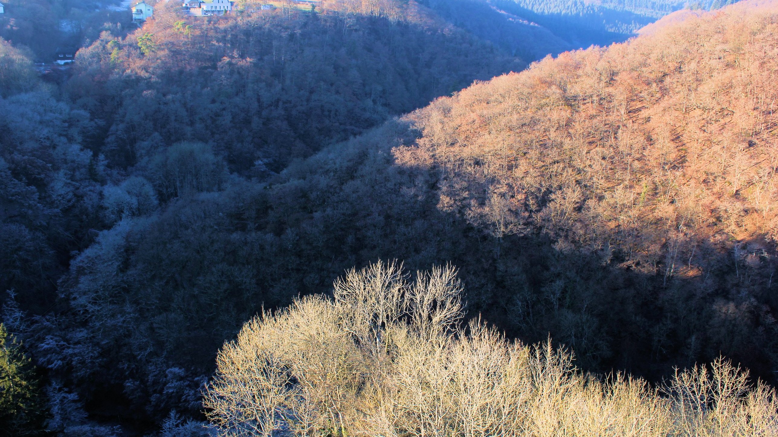
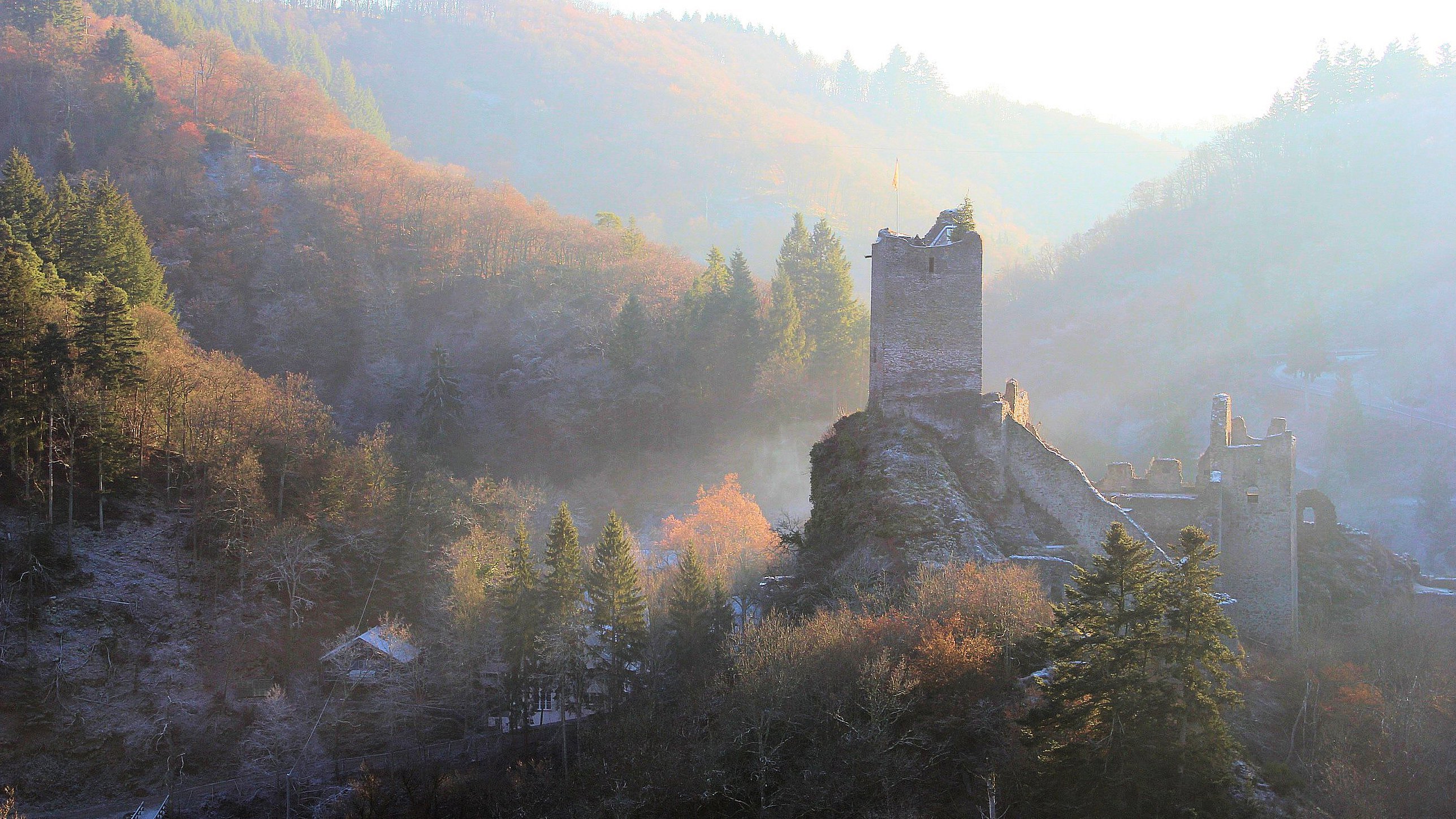
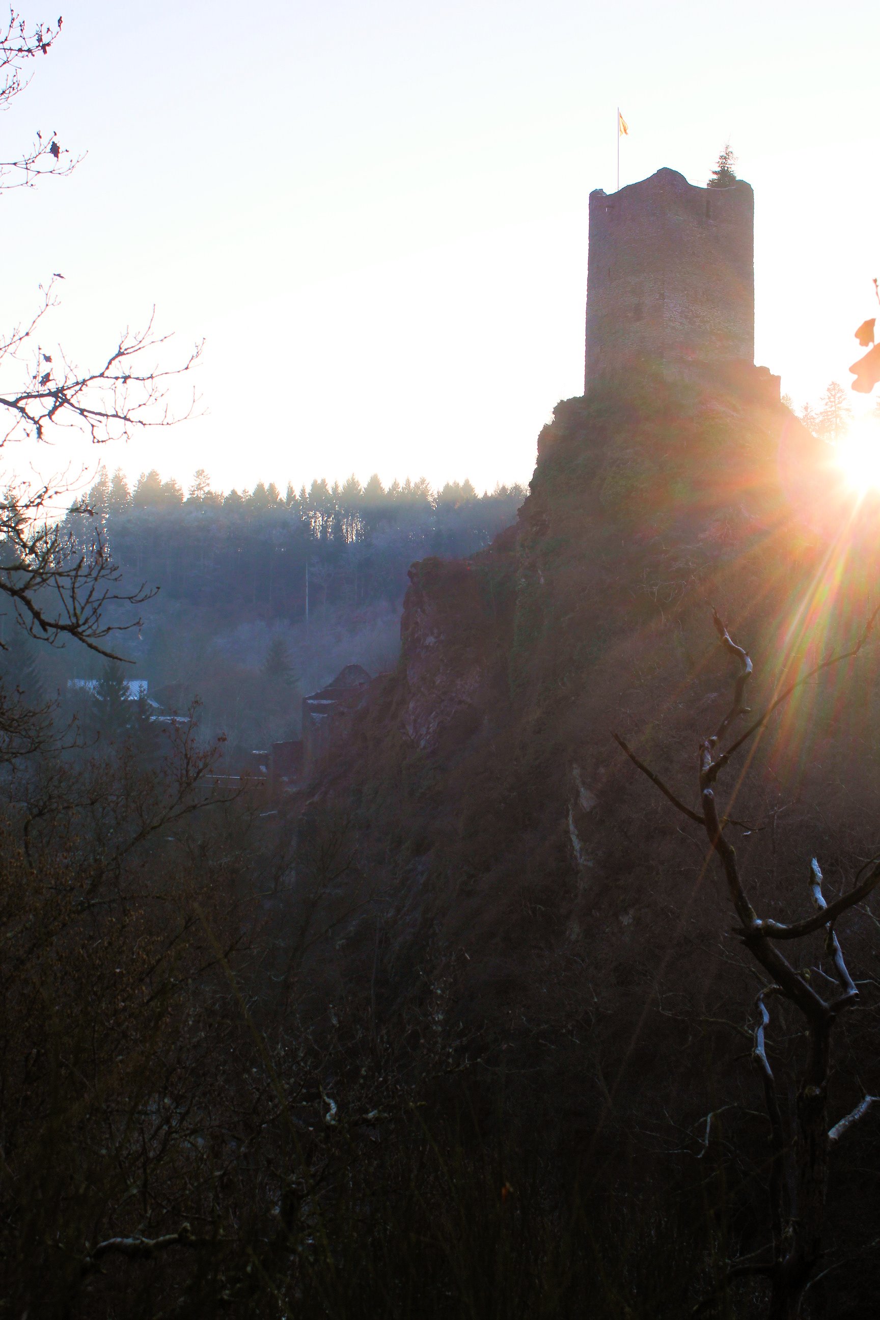
In addition to the volcanoes and maars, the landscape of the Vulcan Eifel Geopark boasts a distinctive topography of undulating plateaux, bisected by deeply incised river gorges, their steep sides densely forested with oak, ash, lime, beach and sycamore. The region is also rich in history with medieval castles, abbeys and many ancient towns and villages to explore. We visited the small health resort of Manderscheid with it’s two dramatically positioned castles which protected an ancient trade route through the deep gorge of the River Lieser.


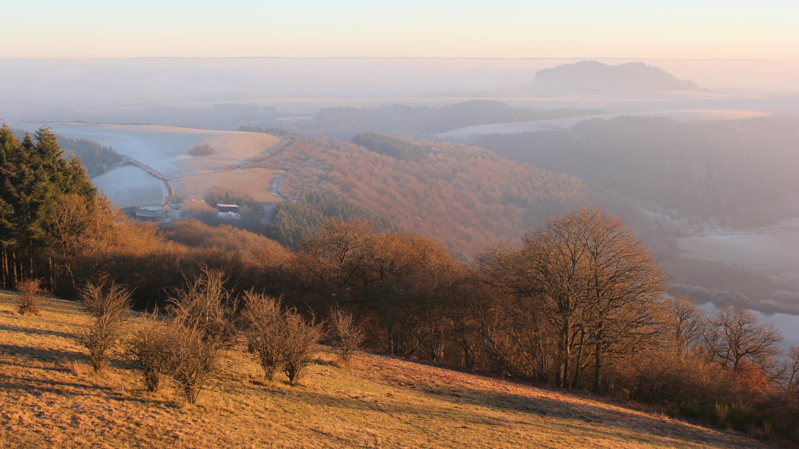
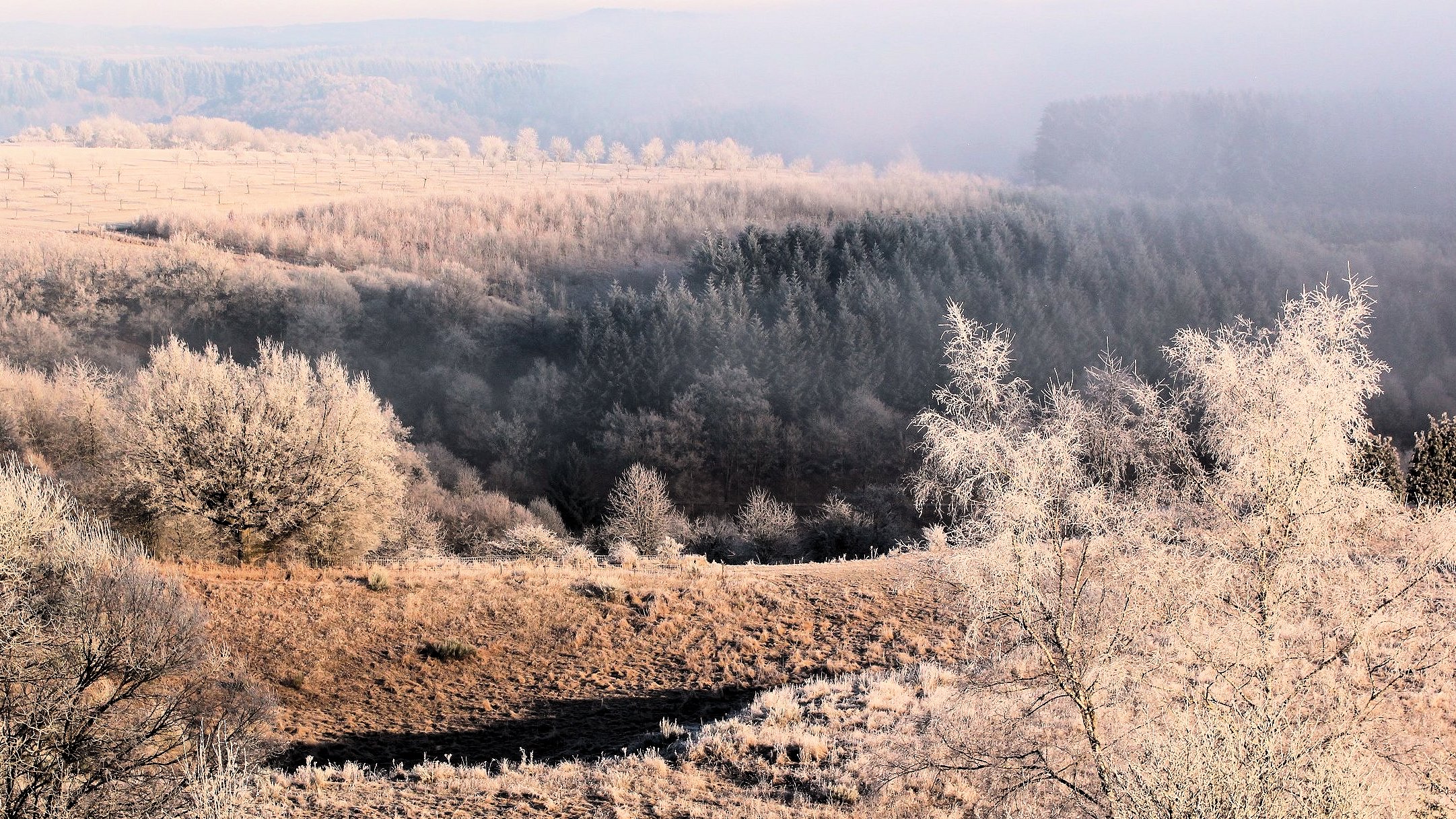
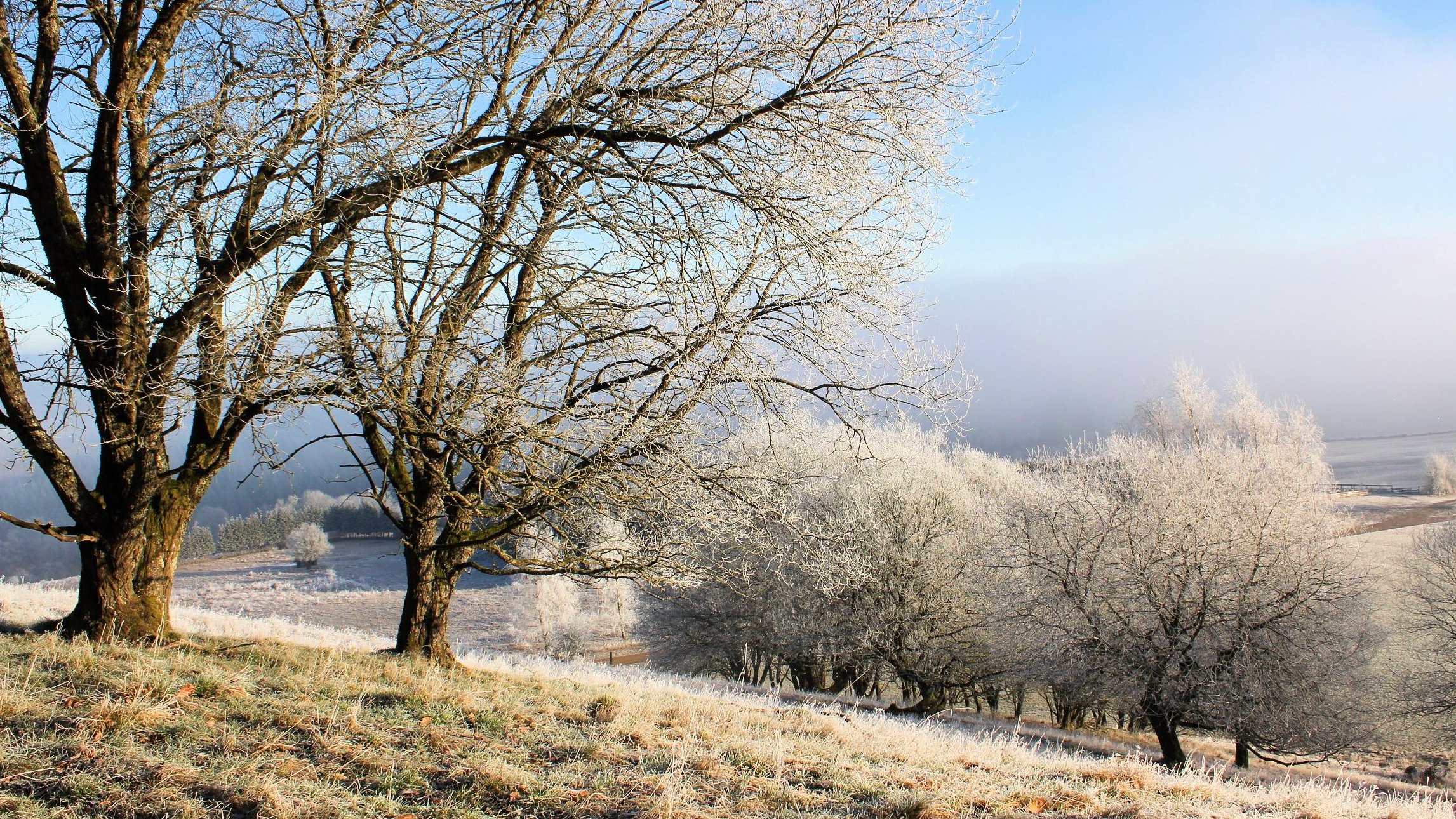
Not far from Mandersheid, the Mosenberg massif is one of the best examples of a surviving volcano to the North of the Alps – the Windsborn Crater Lake being particularly well preserved. Views from near the summit of the Mosenberg on a misty winter’s day are truly memorable; thick frost clinging to isolated stands of trees and deep banks of fog creeping slowly up tributary valleys to meet the lower slopes of the hills. At one time molten lava from the Windsborn Volcano flowed down these same valleys forming thick outcrops of basalt lower down the gorge of the Lesser Kyll.


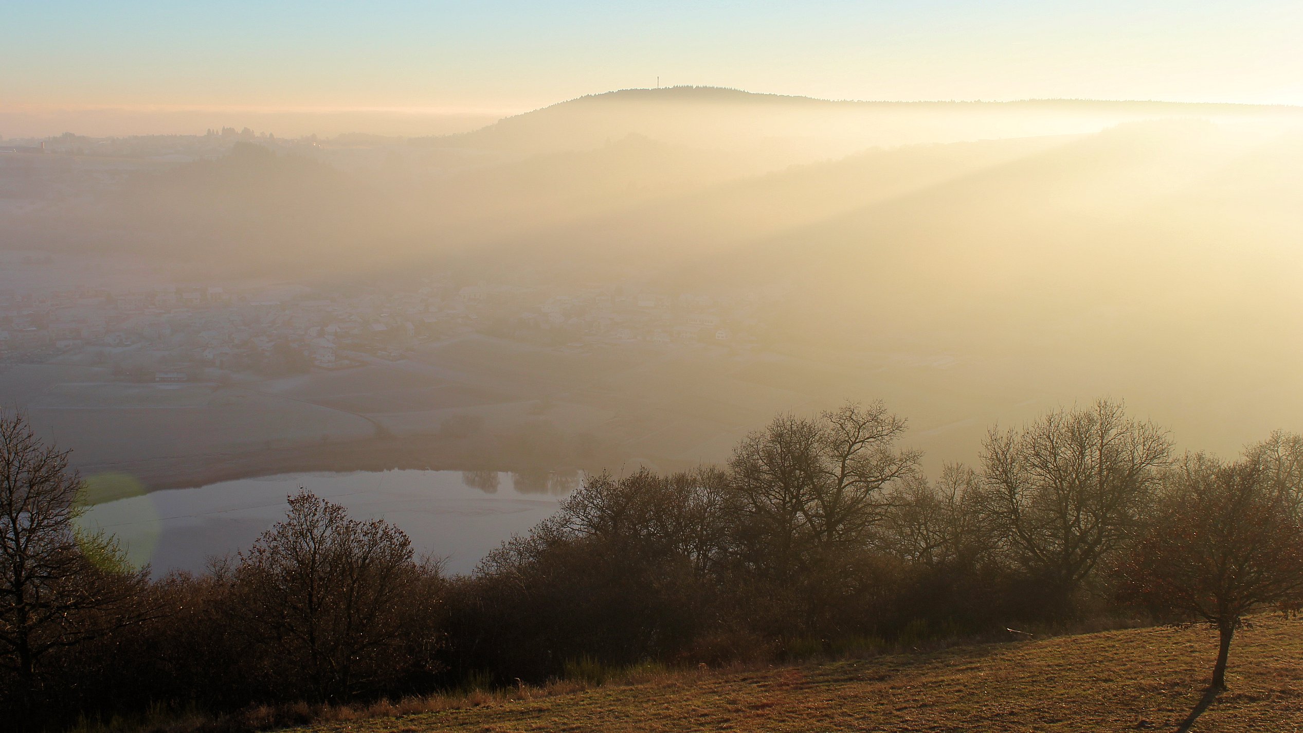
Just a stone’s throw from the Mosenberg massif, is the Meerefelder Maar where, tens of thousands of years ago, a huge underground explosion blew out a deep volcanic crater, ejecting millions of tons of material from underground in the process. Nowadays the peaceful surroundings of the Maar are valued as a wildlife reserve and low-key health resort.

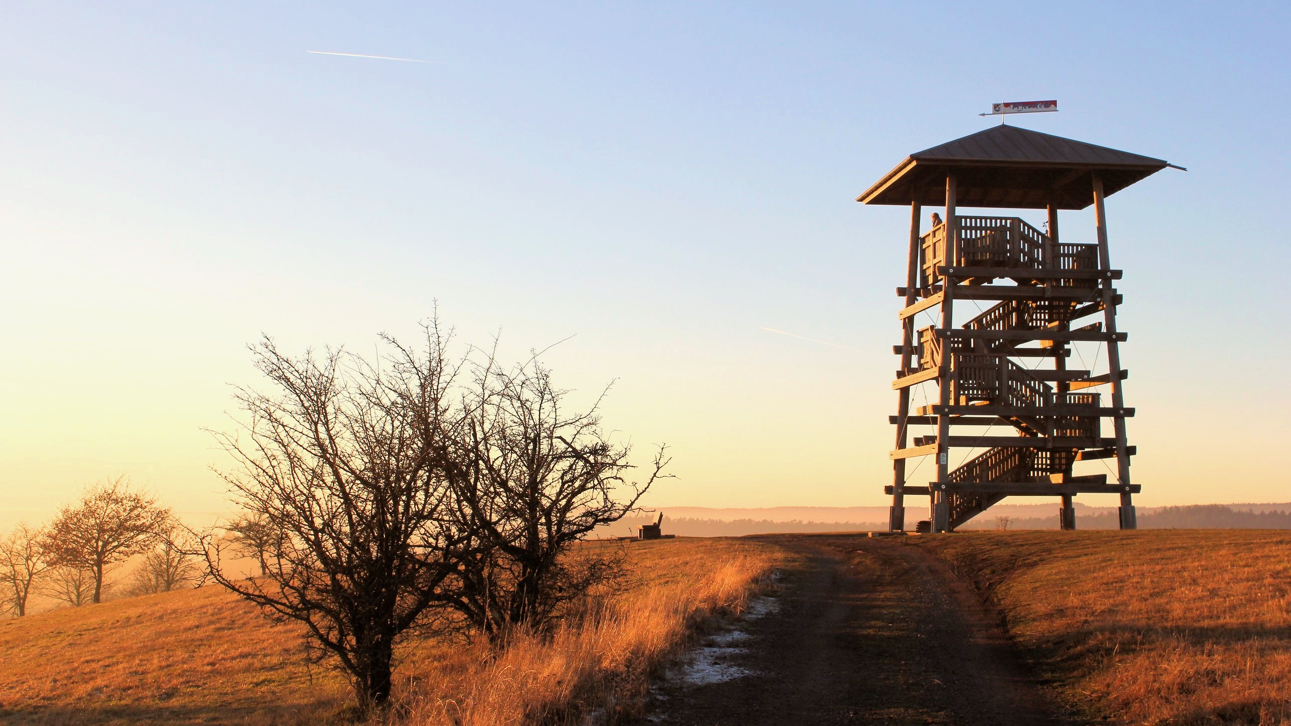
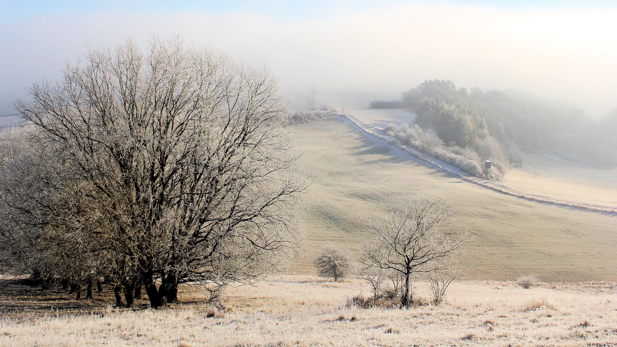
The climb up the hill behind the Maar to the observation tower is well worth it; seen on a misty winter evening with the atmospheric rays of the setting sun illuminating the landscape through the haze, the region’s ancient past seems to come to life; perhaps it’s just even possible to imagine Teutonic knights are riding through the mists somewhere out there on their age old quest for the Holy Grail…